You’d never know it from these beautiful maps that US infrastructure is crumbling
The news show 60 Minutes recently declared that America’s infrastructure is neglected and falling apart. But that doesn’t make it any less beautiful. Proving this point is Fathom, an information design firm based in Boston, Massachusetts.
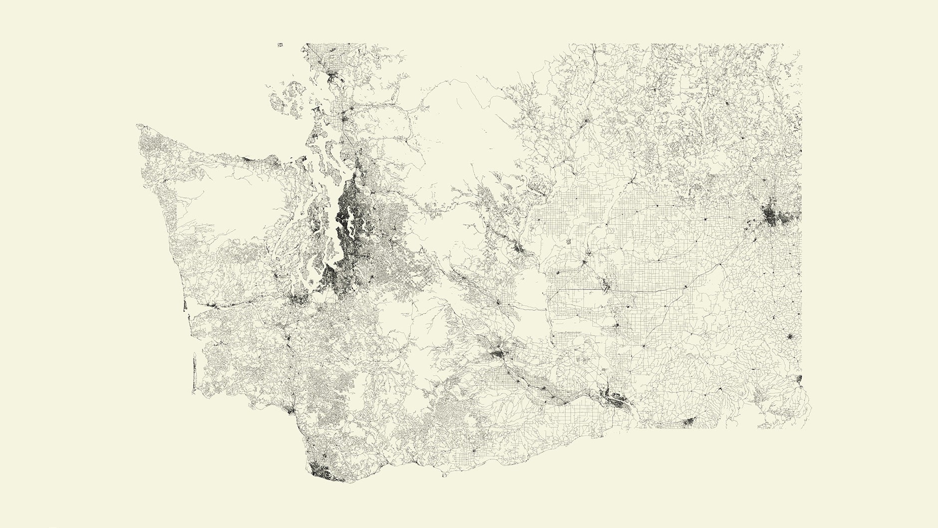

The news show 60 Minutes recently declared that America’s infrastructure is neglected and falling apart. But that doesn’t make it any less beautiful. Proving this point is Fathom, an information design firm based in Boston, Massachusetts.
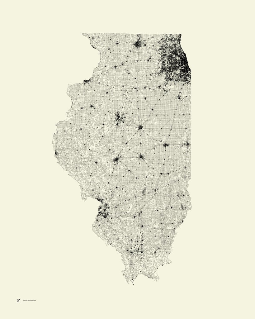
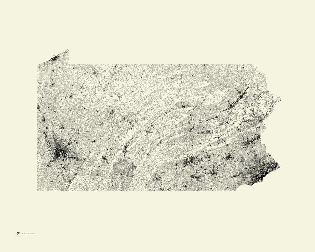
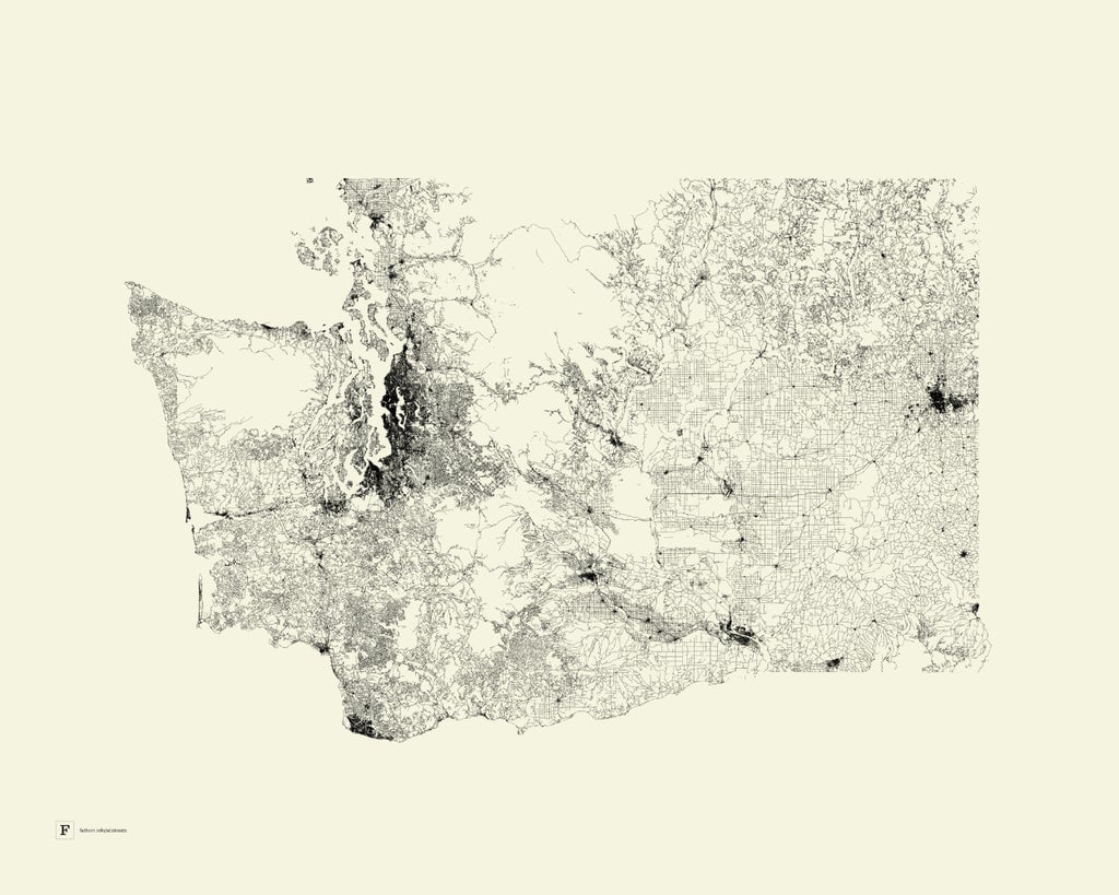
The firm put together some stark maps of each US state, plus Washington, DC, Puerto Rico, and Guam. There are no labels, no words, no symbols, and no route markers, nor any rivers, lakes, or subways. The monochrome maps only depict roads, and the results are surprisingly enlightening.
Urban areas are easy to spot, such as in the poster of Illinois, as Chicago and its suburbs leaves a dark splotch in the northeast corner of the state.
Mountains are apparent too, such as the bending forms of the Appalachians in Pennsylvania.
The national parks and forests of Washington appear to cleave the state nearly in two. Olympic National Park leaves a void in the northwest.
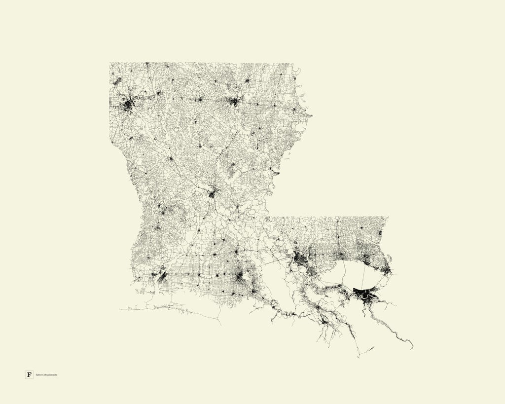
Some states appear to have disintegrated from their familiar forms. The roadway skeleton of Louisiana reveals how much of the bayou is inaccessible by auto. (Much of the state itself has washed away in recent years.)
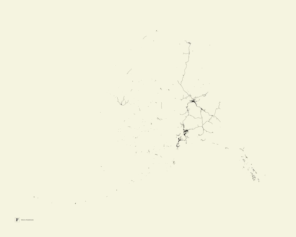
The map for Alaska bears no resemblance to its landmass, as much of the state is inaccessible by road.
The maps are derived from a project the firm worked on in 2009, when it created an image of the entire United States using the same method. It was displayed at monumental scale for a 2010 exhibition at the Frankfurter Kunstverein in Germany. The firm began selling posters of that image in 2011.
Fathom was founded by Ben Fry, a winner of a National Design Award in the US and co-founder of the Processing programming language. Fry’s work has been exhibited at the Museum of Modern Art, the Whitney, the Cooper-Hewitt and others.
The state posters are available in two sizes for $45-60 each on Fathom’s website.