
The Front Range of Colorado is reeling from the biggest—and probably most destructive—flash flood in the region’s history, thanks to a storm that dropped a year’s worth of rainfall in about 24 hours.
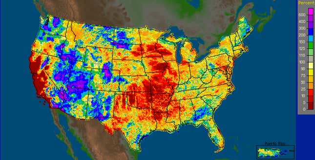
Here’s how it happened: A blocking pattern has set up over the western United States, drawing a conveyor belt of tropical moisture north from coastal Mexico. Blocking patterns form when the jet stream slows to a crawl, and weather patterns get stuck in place. When all that warm, wet air hit the Rocky Mountains, it had nowhere to go but up, pushed further skyward by the mountains themselves. By some measurements, the atmosphere at the time of the heaviest rains was the among most soaked it has ever been in Colorado.
Gauge measurements show floodwaters in Colorado have now exceeded the legendary Big Thompson Canyon Flood of 1976, the flood of record for the region. In downtown Boulder, a meandering creek expanded 40-fold in just a few hours. More rain is on the way this weekend.
Earlier this summer, similarly devastating floods have hit Las Vegas, Nevada, and Calgary, Canada, and the basic cause has been the same: tropical moisture making its way to places it shouldn’t be, in amounts rarely seen before. This is not a fluke event, nor something that’s going to go away.
Why it will keep happening: Blocking patterns are fertile ground for extreme weather. A blocking pattern near Greenland was also to blame for steering Superstorm Sandy toward the east coast of the United States last fall. Persistent high pressure this year in the western United States has led to what is (so far) California’s driest year on record. That, in turn, fueled last month’s massive Rim Fire in Yosemite National Park, which grew to a size larger than New York City.
Recent research is building toward a theory that the loss of more than 80% of the Arctic ice cap over the last couple of decades may be destabilizing weather patterns, causing blocks to form more frequently. Here’s why: As the Arctic regions warm at two or three times the rate of the rest of the globe, the difference in temperature between the Arctic and the tropics gets smaller. That slows down the jet stream, like cars stuck in traffic. The traffic jams become blocking patterns, which is when crazy things start to happen: the warmest temperature in Japan’s history, torrential rains in the desert, massive droughts that appear nearly overnight.
The last decade has not been kind to Colorado, weather-wise. Up in Rocky Mountain National Park, the pine bark beetle infestation (itself brought about partly by warmer winters) has killed vast swaths of trees. Winter snowpack has been declining, leading to more intense summer drought. The two most destructive fires in state history have occurred within the last 15 months.
It’s difficult to attribute any of these individual events to climate change. Still, over the coming decades, climate science says we can expect more intense, longer-lasting heat waves. Worsening droughts. Increasing frequency of big wildfires. More dramatic rainstorms.
In Colorado, at least, it seems that the climate has already changed.
Follow @EricHolthaus on Twitter for breaking weather news and analysis.