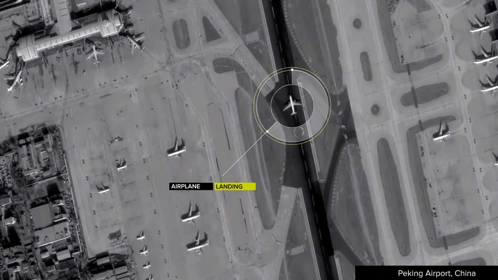
Google said today that it will spend $500 million in cash to acquire Skybox Imaging, which produces high-resolution images with its own satellite.
In a release, Google says Skybox’s satellites “will help keep Google Maps accurate with up-to-date imagery” in the short-term. And in the future, Skybox’s technology “will be able to help improve Internet access and disaster relief”—perhaps in places without access to traditional Internet access, which Google is already trying to reach via its Project Loon.
But it’s interesting to speculate about other uses for this technology. Google, whose stated mission is to “organize the world’s information,” will control all kinds of new data worth examining—including “timely, high fidelity imagery and infinite analytics”—about how the world is actually working. A video uploaded by Skybox to YouTube purports to show an individual car driving around a nuclear facility in North Korea.
Google also has another longer-term, more practical use for better maps, not mentioned in today’s announcement: Its self-driving car project. As Alexis Madrigal wrote last month for The Atlantic:
Today, you could not take a Google car, set it down in Akron or Orlando or Oakland and expect it to perform as well as it does in Silicon Valley.
Here’s why: Google has created a virtual track out of Mountain View.
The key to Google’s success has been that these cars aren’t forced to process an entire scene from scratch. Instead, their teams travel and map each road that the car will travel. And these are not any old maps. They are not even the rich, road-logic-filled maps of consumer-grade Google Maps.
They’re probably best thought of as ultra-precise digitizations of the physical world, all the way down to tiny details like the position and height of every single curb. A normal digital map would show a road intersection; these maps would have a precision measured in inches.
Google’s current satellite partner DigitalGlobe took a hit on the news, with shares closing down 4%.
