Not everything Google does is decided by an algorithm.

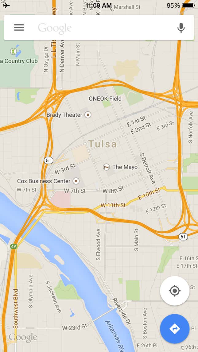
Google Maps for iPhone shows US users this map of Tulsa, Oklahoma, when the app can’t figure out where you are located. Why Tulsa? It’s not the geographic center of the US mainland—that’s just north of Lebanon, Kansas—nor is it the center of where the US population lives—that’s Texas County in Missouri.
Tulsa actually sits a few hundred miles between these two centers. Google told Quartz there’s a very simple reason the town was chosen: The app’s developers thought it looked “good.” Zooming out from Tulsa, you can see the entire lower 48 states in one view, whichever way your phone is oriented. Why developers chose the city of Tulsa as the default map, rather than a zoomed out map of the entire US, was not revealed.
This isn’t the first time Google has chosen a random point on a map of the US—the company did the same thing when it chose a small town in Kansas for the center of the original Google Maps for the web in 2005. Sometimes eyeballing it just works.
