This item has been corrected.
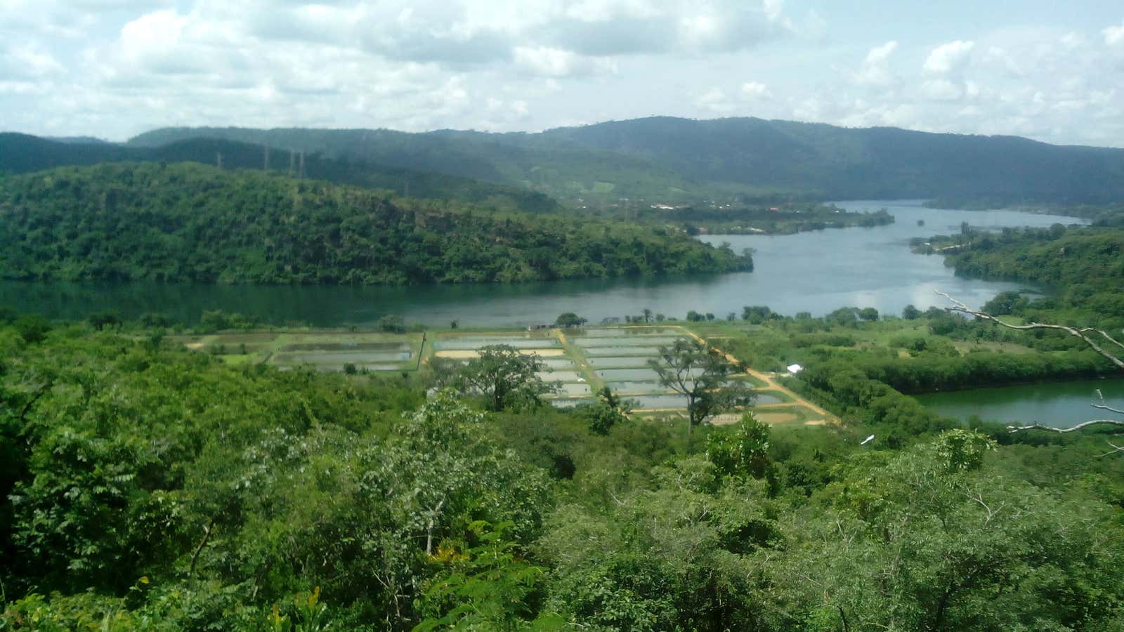
Lake Volta, in the eastern part of Ghana, has long been a center of endemic child slavery: trafficked children are abducted from their homes and employed in the local fishing industry, where they are exploited, working up to 19 hours a day performing hard and dangerous tasks.
There are relief organizations that want to help put an end to these practices. But it’s hard to tackle a problem when you don’t know how big it is. According to the International Labor Organization (pdf, p.22), an estimated one-third of the 1.2 million child laborers in Ghana are located in the Volta region. How many are currently employed in fisheries is harder to pinpoint.
Martina Ucnikova, an executive for the Global Fund to End Slavery, tells Quartz that given how large the lake is—8,502 square kilometers (nearly 3,380 square miles)—it’s difficult to get an accurate count of all the boats, buildings, and fish cages that have sprung up in, on, or around the lake.
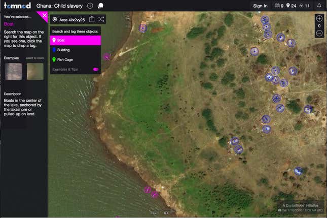
There is, however, a relatively easy way to scan the lake for signs of fishery—looking from high above, through a satellite image. This is why the Global Fund to End Slavery partnered with Tomnod, a crowdsourcing research project that makes high-resolution satellite images provided by satellite company DigitalGlobe (of which Tomnod is part) available online.
As it’s done before with other projects—notably, crowdsourcing the search for the missing Malaysian Airline flight 370 in 2014, and in its relief work after natural disasters—Tomnod is asking its community to simply look at the arial images of Lake Volta and tag any boats, buildings, and fish cages they see.
The campaign, launched on Oct. 12, has so far attracted 9,000 volunteers—half of them returning Tomnod members, who have helped with other searches, and half new members, attracted by this specific effort—who have collectively tagged 80,000 objects with remarkable accuracy, Caitlyn Milton, DigitalGlobe’s crowdsourcing manager, tells Quartz.
Participation is simple, and open to anyone with an internet connection and a few minutes to spare. Users are presented with digital images and asked to drop tags on boats, buildings, or fish cages. Once a tag is dropped, an algorithm verifies its accuracy based on elements including tags that others have left on the same object, and the experience of the tagger. Gradually, the entire surface of the lake gets explored in depth, as the same area is searched by several volunteers.

“Part of the overarching story is that this type of exploration is easy for everyone,” Milton says, noting that the tagging community includes elementary students completing the explorations as part of their classwork, as well as elderly or disabled people who find the work to be a gratifying way to exercise their motor skills. The average search lasts only five minutes, though often people engage in multiple search sessions.
Milton estimates that at present, 65% to 75% of the initial area is left to explore before this search is complete. Once that’s done, the Global Fund to End Slavery will be able to know ”how big is the industry and estimate the size of the child trafficking,” Ucnikova tells Quartz.
This will probably lead to other collaborations, Milton says, perhaps to use crowdsourced satellite image search in the same area to identify artisanal, illegal mines.
Correction: The Global Fund to End Slavery currently doesn’t yet have an updated estimate of the number of child slaves per boat.


