This post has been corrected.
Mexico City officials are trying to untangle the convoluted network of bus lines that crisscrosses their unwieldy metropolis. So they are calling on the only people who really know where they go: riders.
The city’s mobility department, along with a handful of private companies and nonprofits, launched a new crowdsourcing app to map more than 1,000 routes traveled by buses, micro buses, and vans. Called Mapatón CDMX (link in Spanish,) it will use geolocation to track each line’s exact trajectory and to collect other useful information—for example, where the bus stops, or how much a ticket costs. The app was inspired by technology developed at MIT, which has already been used to create a digital map of the bus system in Dhaka, Bangladesh. It was adapted to fit Mexico City’s needs.
By enlisting the public, Mapatón will collect the data in a little over two weeks, from Jan. 29 to Feb. 14. An open database with the results will be available later in February, speeding up a process that might have taken years using more traditional methods. The whole project (Spanish, pdf, p. 6), funded by the British Embassy in Mexico and the Hewlett Foundation, will cost 350,000 pesos ($19,000), almost half of which will go toward cash and prizes to entice riders to participate.
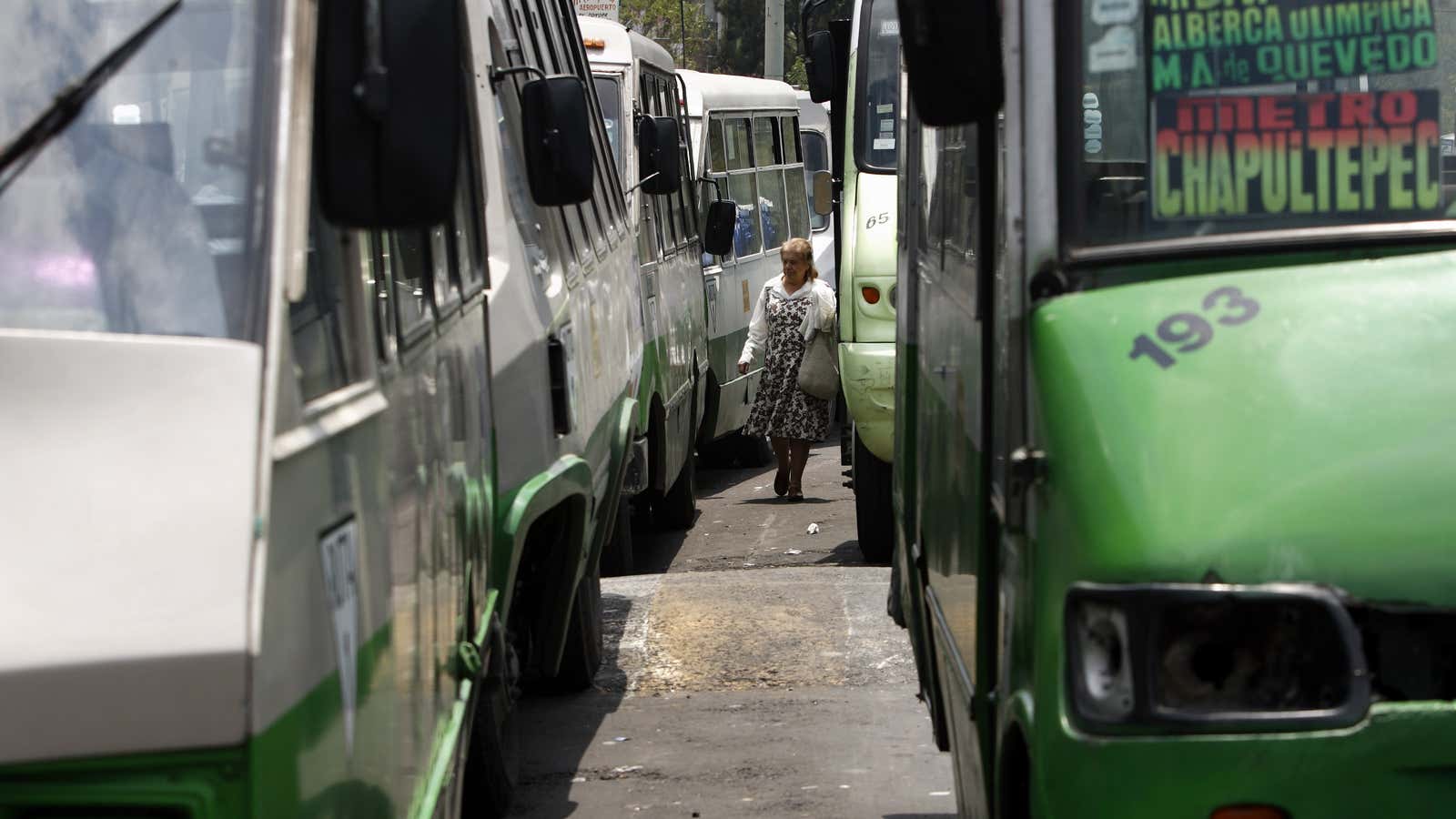
Buses and vans, which connect the city’s outskirts with other modes of transport, such as the subway, account for 14 million daily trips, or around 60% of all trips made by residents each day, according to city officials. But, like many aspects of life in much of the developing world, they largely operate outside the realm of urban planning, says Carlos Rafael Salinas, an urbanist with Transconsult, a consulting firm involved in the project.
As the city has grown, routes have been popping up to follow demand. Unlike the subway or the rapid-bus lines, which are controlled by a public agency and have set routes and schedules, minibuses are run by concessionaires through permits granted by local authorities. In the metropolitan area, which is made up of the federal district, plus 60 different municipalities in two states, there are more than 25,000 such concessionaires.
They range from single drivers to bigger outfits that operate several buses. Their revenue depends on the number of passengers that board, so they adjust accordingly, modifying routes to avoid streets protests or creating new stops along the way, says Salinas. This can make for an inefficient system, with duplicated routes and trips that take longer than they should. It’s also a nightmare to use—at least for outsiders who have no way of knowing the ins-and-outs of this very unsystematic system.
But “between all of us,” Salinas tells Quartz, “we can help to unravel the mystery that is the city’s transit.”
Correction: An earlier version of this post said the technology for the bus app was developed at MIT; in fact, it was inspired by other technology developed at MIT.


