No one’s ever gotten closer to a hurricane than the Coyote.
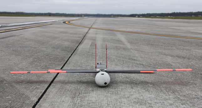
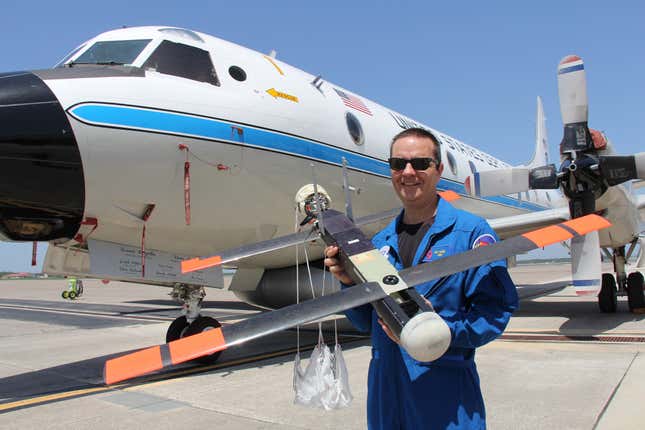
Whenever a hurricane nears land, the National Oceanic and Atmospheric Administration (NOAA) dispatches several aircrafts to inspect its intensity from the top down. However, since planes carrying passengers can’t get very close to a storm without risking damage, NOAA’s hurricane hunters use the Coyote, a tiny 13-pound drone, to gather data about the natural disaster.
Although these drones were first created by Navy circa 2007, the NOAA only seriously considered using them to study hurricanes after Hurricane Sandy, which killed 286 people and destroyed over 200,000 homes in 2012. “Sometimes, from the ashes, you’ll get an opportunity,” says Hurricane Research Division (HRD) meteorologist Joe Cione, who put in the proposal to introduce lightweight drones after Sandy.
The current big storm, Hurricane Matthew, has already claimed over 800 lives in Haiti, and is heading for Florida. Hurricane hunters will test the drone when the Category 2 hurricane, with maximum sustained winds of 110 mph, tightens its grip on the region during the Oct. 8 weekend.
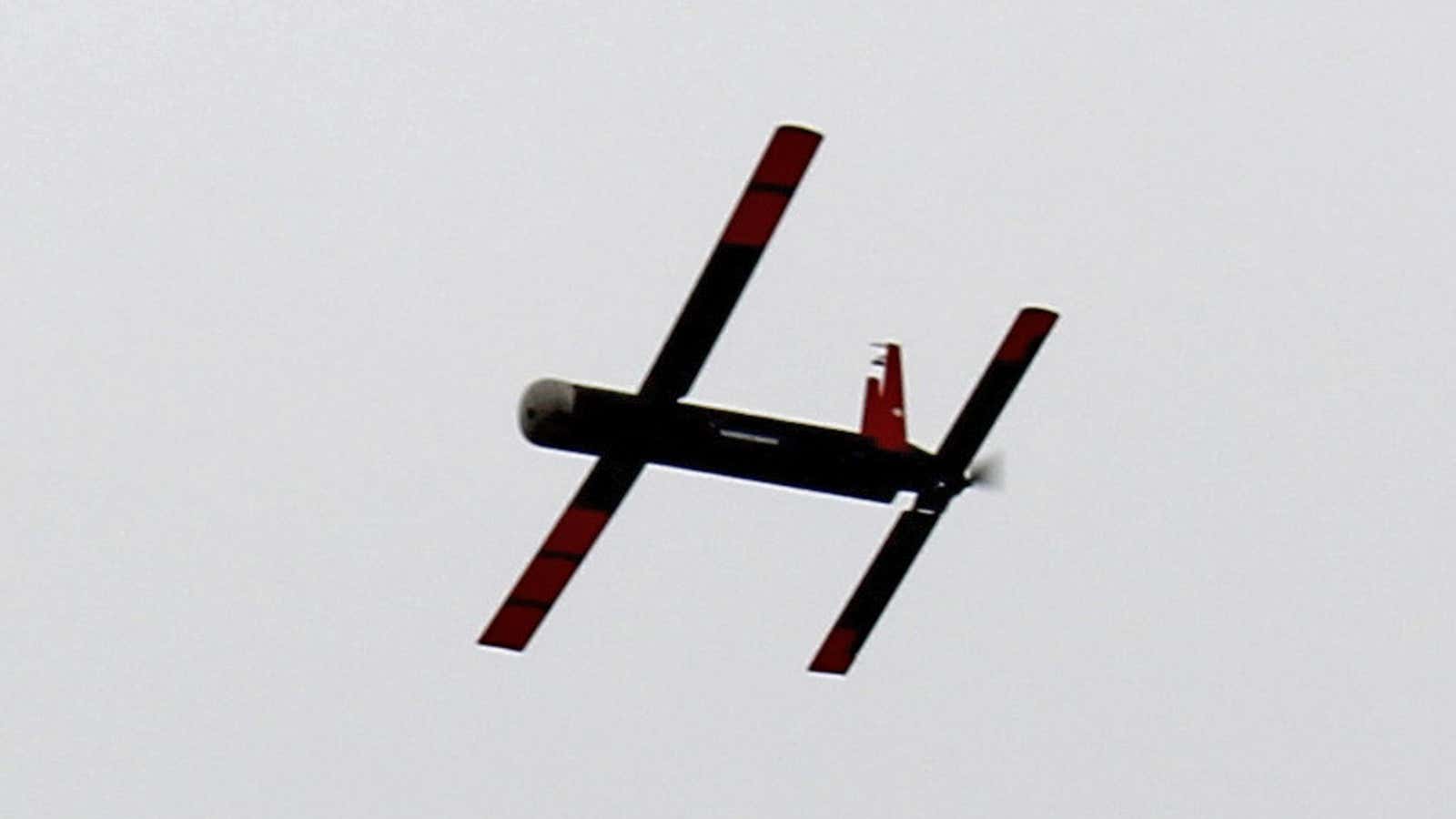
After being deployed from the belly of a NOAA aircraft, the drone will spread its 5-foot wingspan and cruise to the most violent quadrants of the hurricane to glean atmospheric information like temperature, windspeed, wind direction, humidity and ocean surface conditions. It can be steered in different directions by a “pilot” with a remote-controller onboard the plane.

The team previously tested prototypes off the coast of Bermuda during 2014’s Hurricane Edouard. At the time, the drone could be operated from 3 miles away, Cione said. Since then, the signal range has increased to well over 50 miles.
The drone’s information is transmitted back to the plane in real-time and then communicated to the National Hurricane Center, who relays the information to forecasters. The almost-immediate data could hone forecast models. Eventually, Cione imagines that quick detection of dangerous weather patterns could help send out evacuation warnings.
The Coyote is also the first innovation in the field that can measure sea surface temperatures around a storm, using infrared censors. The drone can cruise at the lowest level of the hurricane—100 to 200 feet from the ocean’s surface—where manned planes cannot go. ”It’s important to get an understanding of how the ocean feeds the storm,” Cione said. “It is sort of the holy grail.”

But these benefits come at a premium: The $22,000 drone, which is now produced by defense technology firm Raytheon, is far more expensive than the researchers’ current go-to equipment—$800 dropsondes. These expendable weather measurement devices record winds, temperature and humidity, and they are specifically designed to be dropped from aircrafts at high altitudes. Equipped with parachutes, they glide straight down for around five minutes.
“With the dropsondes, you get snapshots,” Cione said. “The coyote gives you a movie. The movie is going to give you a lot more detail.”
Cione is also quick to point out out that more than one dropsonde is ejected from the aircraft during a mission so the cost difference isn’t necessarily that wide. Moreover, the battery-powered drone can fly in the storm for up to an hour whereas a single dropsonde lasts barely five minutes—the cost of the data collected per minute is $360 for the former, versus $180 for the latter.
