Australia is sharing an amazing trove of underwater data gathered in the long search for MH370
The long search for Malaysia Airlines flight MH370 failed to solve one of the greatest aviation mysteries of all time. But it did reveal the wonders of the deep.

The long search for Malaysia Airlines flight MH370 failed to solve one of the greatest aviation mysteries of all time. But it did reveal the wonders of the deep.
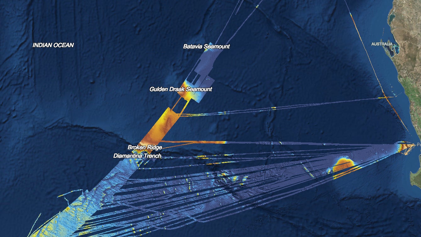
Australia released today a vast trove of underwater data gathered during the search for the missing Boeing 777 airliner, which disappeared in March 2014 while en route from Kuala Lumpur to Beijing with 239 people on board. To find the plane, search teams armed with high-tech equipment and relatively large budgets painstakingly surveyed about 120,000 sq km (46,000 sq miles) of seafloor, turning an otherwise remote part of the Indian Ocean into one of the world’s most thoroughly mapped regions of deep ocean.
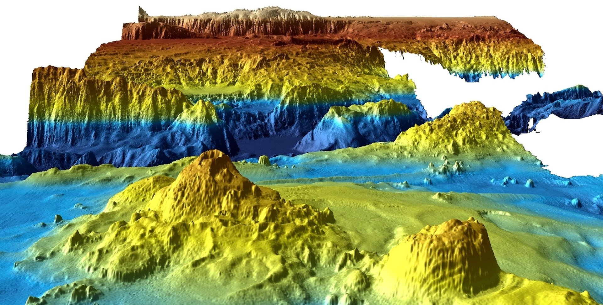
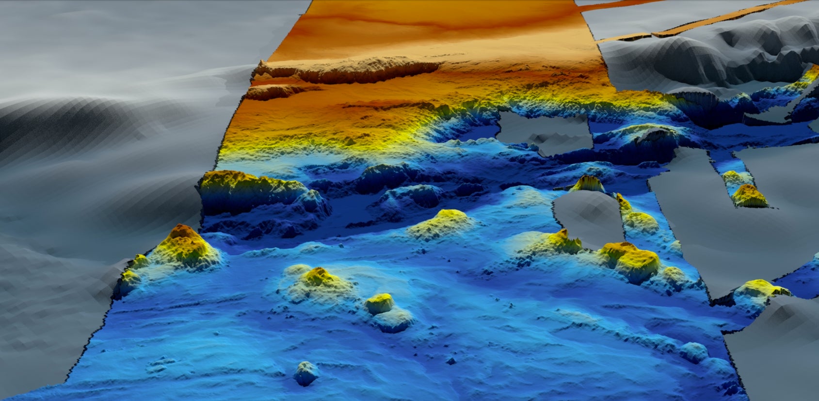
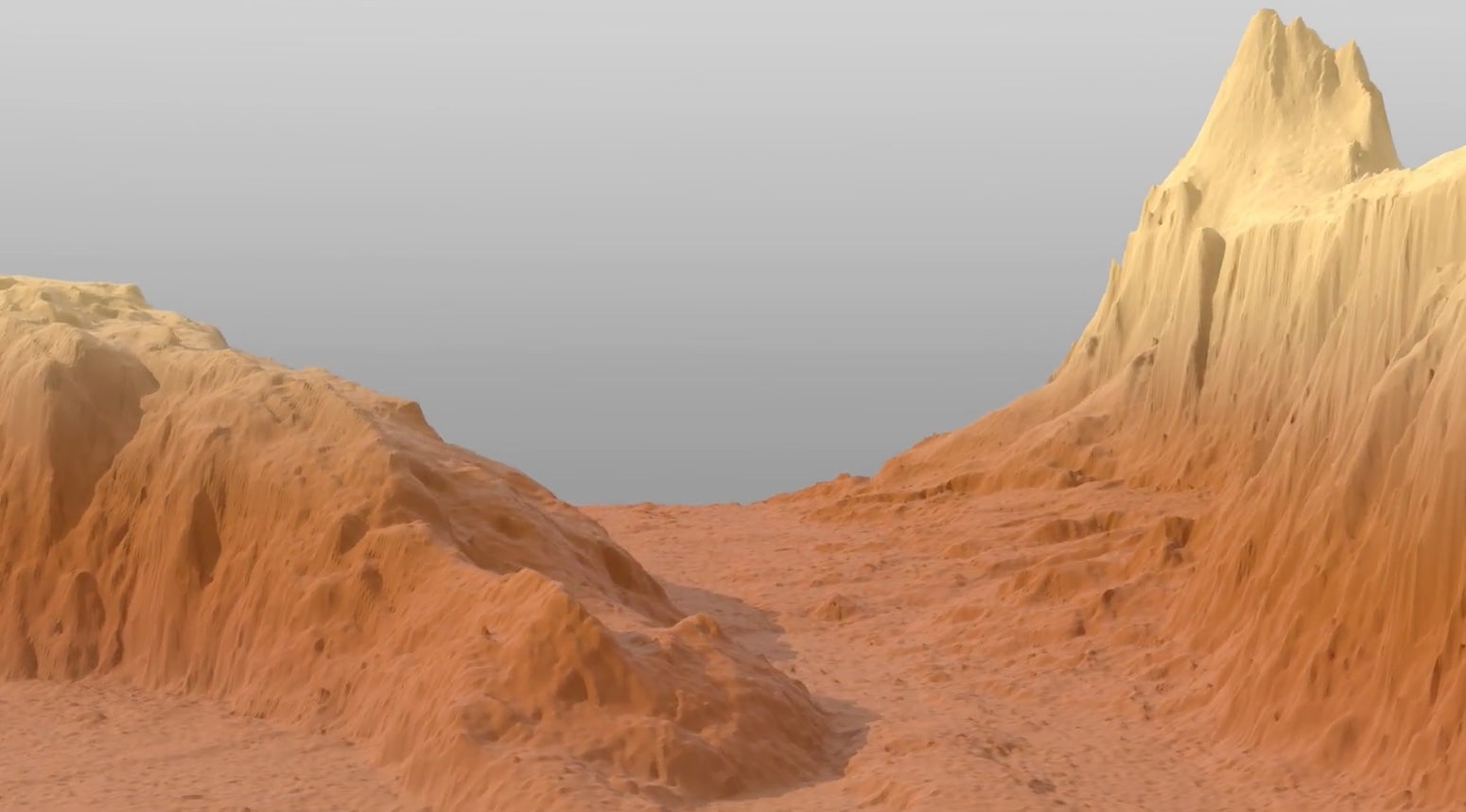
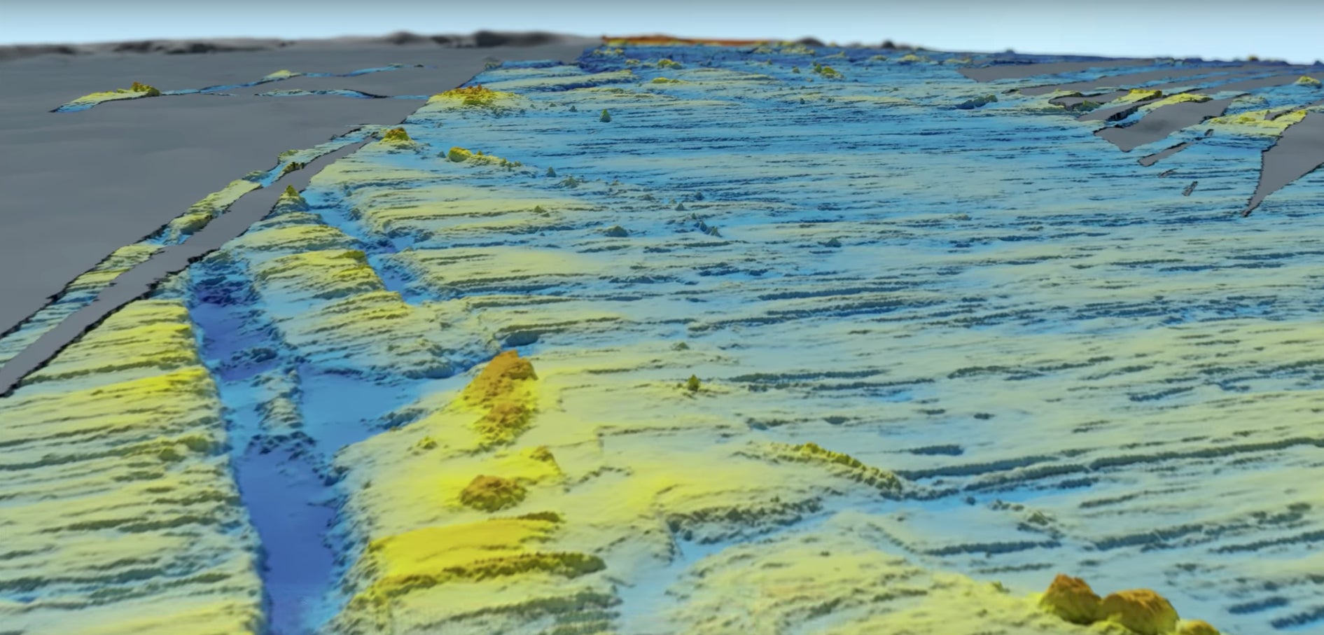
The data was freely shared by Geoscience Australia, a government agency Down Under that conducts scientific research. The head of its environmental geoscience division, Stuart Minchin, said that only 10% to 15% of the world’s oceans have been mapped in such fine detail.
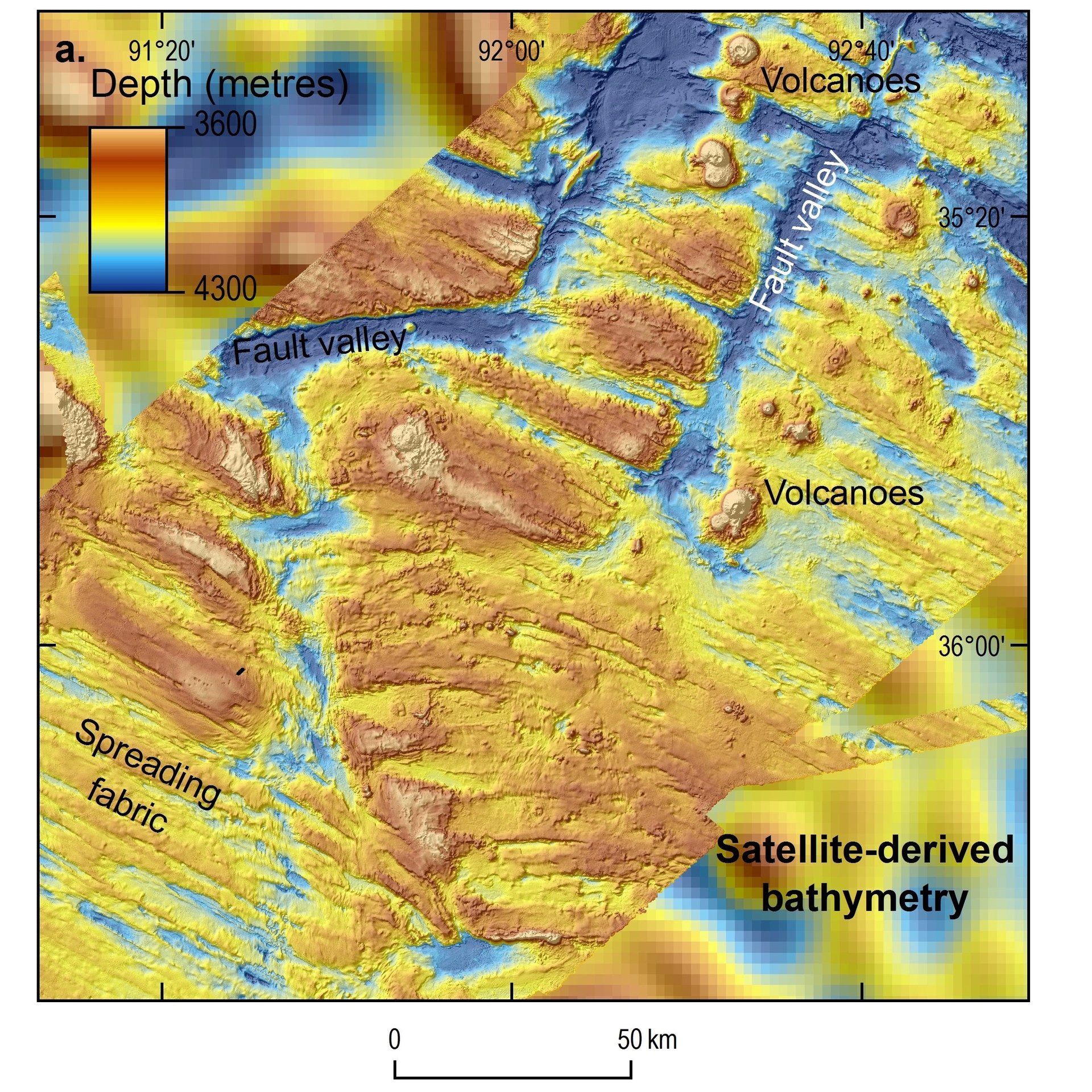
Among the features revealed are mountains larger than Mount Everest and a volcano-dotted valley running for hundreds of kilometers, far below the water’s surface. The data will prove valuable not only to oceanographers and geologists, but also to commercial fishermen, who will have a better idea of where to find highly prized fish like tuna, which tend to gather at seamounts.
The data will also help scientists model how tsunamis might affect the region, and could suggest alternative theories on how Gondwana, an ancient supercontinent, broke up.
The $150 million search, which the governments of China and Malaysia agreed Australia would lead, took nearly three years before finally being suspended in January until credible new evidence is presented.
A second batch of data, to be released in mid-2018, will reveal more details of the area.