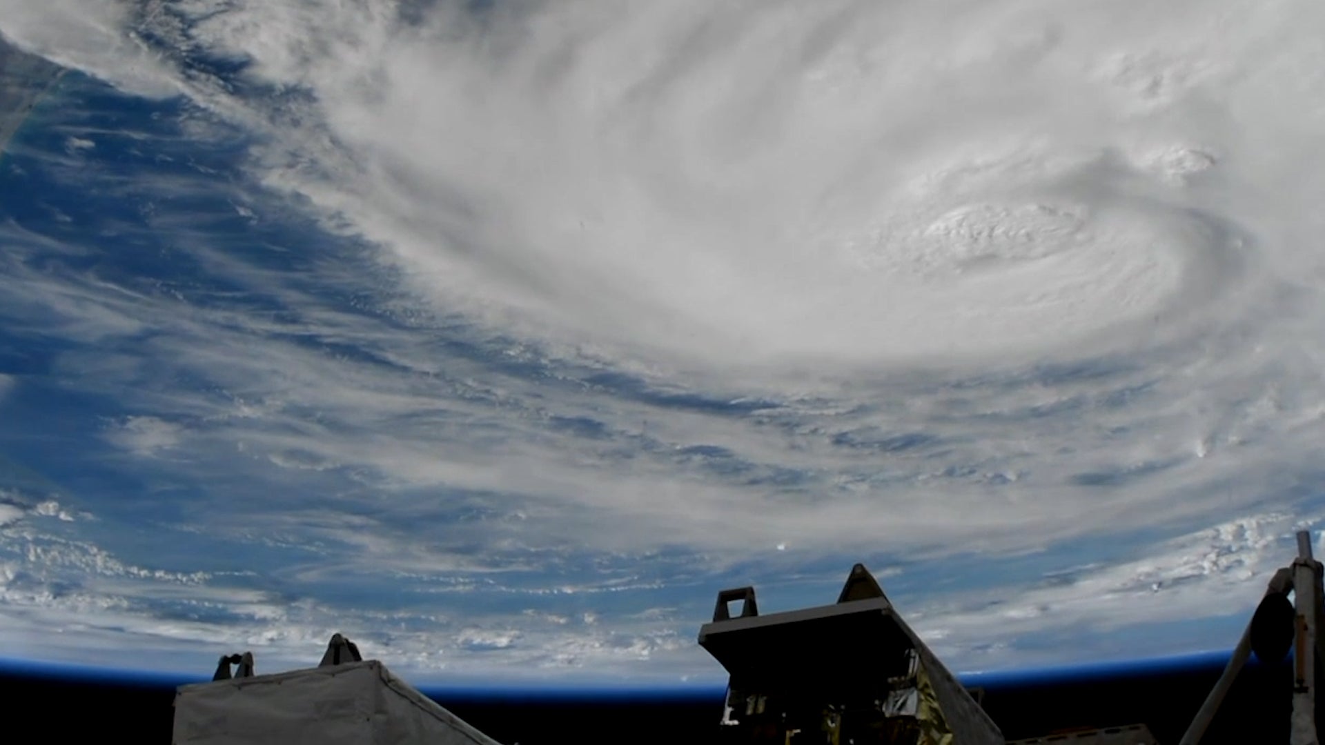
See what Hurricane Harvey looks like from space
Hurricane Harvey is the most powerful storm to hit the United States in more than a decade, and with new imaging technology, scientists and the public can see it in unprecedented detail.


Hurricane Harvey is the most powerful storm to hit the United States in more than a decade, and with new imaging technology, scientists and the public can see it in unprecedented detail.
Some of the most compelling footage comes from the International Space Station, which has sent back footage it took while passing by the hurricane just before landfall.
But just as dramatic is the view from the National Oceanic and Atmospheric Administration’s new GOES-16 satellite. Launched by NASA late last year, the satellite is capturing the storm in better resolution than ever, and relaying the data faster so that meteorologists can use it to make better predictions.
Watch the video above to see some of the visuals, and to get an idea of how they’re helping scientists.