The first cloudless day after Hurricane Harvey made landfall in Houston was Thursday (Aug. 31), and the clearing of the skies gave even greater visibility to the damage and flooding caused by the storm. Below are images of the Houston area by Planet’s satellites captured before the storm, and after it hit.
Neighborhoods near the Addicks Reservoir flooded as the Army Corps of Engineers released water into the Buffalo Bayou. The most obvious signs of flooding in the satellite images are the roads turning from asphalt-grey to a muddy brown.
A similar situation was captured at Barker Reservoir.
These images show an area about 6 mi² (16 km²), a little downstream from the Barker Reservoir.
A general aviation airport, it was one of the last to close during the storm. It is now underwater.
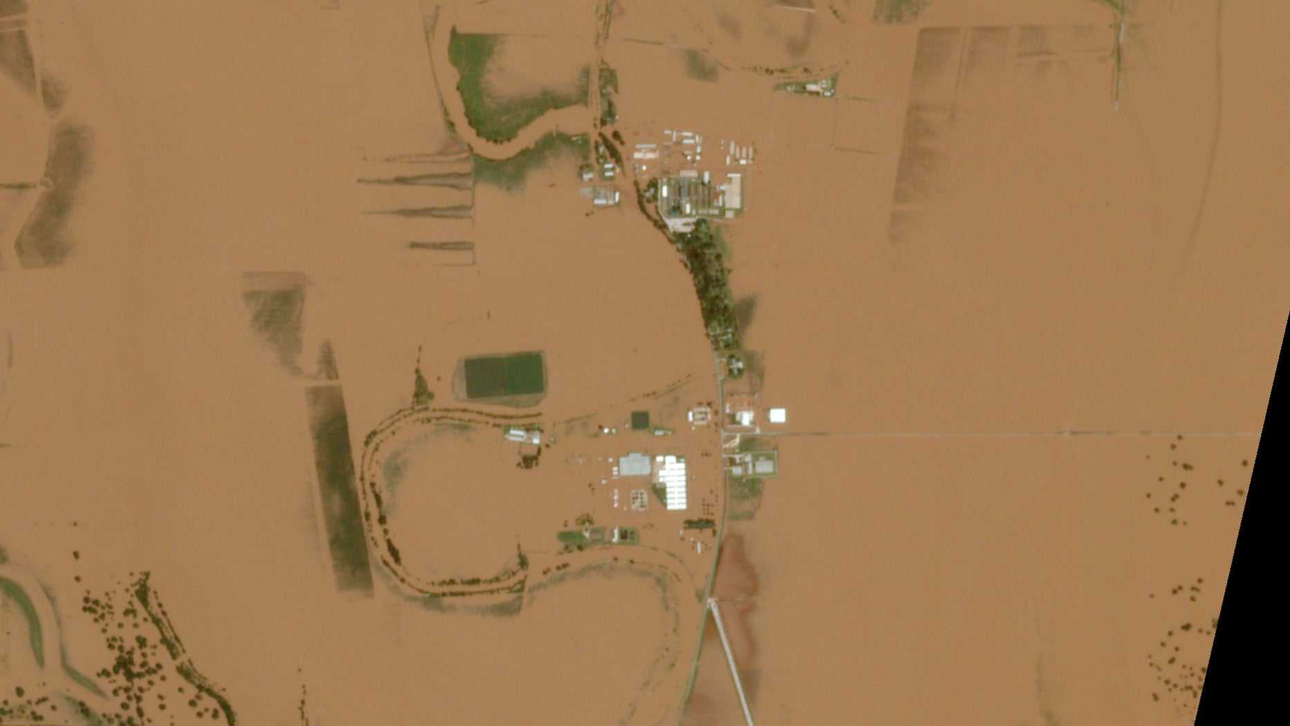
About 4,500 inmates in three prison units were evacuated ahead of the storm.
The 378-room hotel was evacuated as floodwaters rose. At least one staff member is still missing.
Missouri City, which is southwest of Houston, weathered high winds that damaged 50 homes just days before Harvey. The area is now inundated with flood waters from the Brazos river. A local shelter has registered more than 600 people, according to the Community Impact newspaper.
When Lake Houston swelled, the homes on its banks suffered, as did the boathouses which sit at the end of long piers.
Part of the second-ring belt highway that circles the city, photos of this flooded road and the surrounding neighborhood were circulated widely.
Cypress Creek brought flood waters into nearby neighborhoods and forced the evacuation of CHI St. Luke’s Health-Vintage Hospital (paywall), which is circled above.
The golf courses are the most noticeable flooded areas in these images (due to their tree- and building-less landscapes), but nestled between them are dozens of homes, as well as apartment complexes and shopping centers, that were surrounded by floodwaters.
