Another superstorm could hit New York on the five-year anniversary of Sandy
There is no official definition of a superstorm, though the term is commonly used by meteorologists and journalists to describe the phenomenon of tropical and nontropical weather systems converging to form a larger storm.


There is no official definition of a superstorm, though the term is commonly used by meteorologists and journalists to describe the phenomenon of tropical and nontropical weather systems converging to form a larger storm.
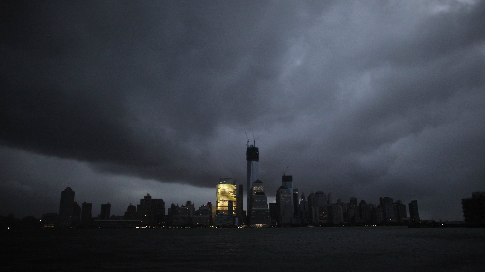
In October 2012, a perfect storm of rapid-pressure changes, low wind shear, and a full-moon high tide led the formation of the most infamous superstorm in recent memory: Superstorm Sandy. Sandy was the deadliest northeast US hurricane since 1972 and the second most expensive on record after Katrina.
According to the National Hurricane Center, there is potential for a superstorm to form in the northeast again this weekend, the fifth anniversary of Sandy’s landfall.
The distant factors that could bring a superstorm
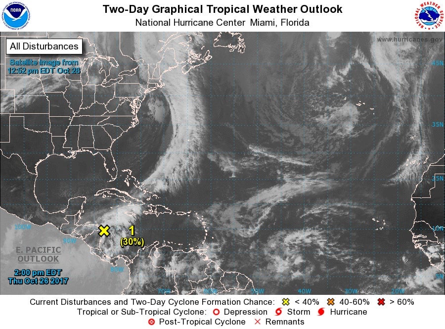
A recent tropical wave “disturbance” in Central America, a low-pressure trough moving across the eastern US, and a large dip in the jet stream caused by Typhoon Lan in the Pacific could merge with each other over the northeast in the next few days to form into one huge storm.
The National Hurricane Center sees a 40% chance of such a storm forming over the next five days, saying “environmental conditions are expected to be conducive for some development on Friday and Saturday.” Strong winds could break apart the system on Sunday, though heavy rain is expected across the Caribbean even if it does.
If the systems do merge, the mid-Atlantic up to New England could experience tropical storm-force winds and major flooding this weekend, though almost definitely not at the same magnitude as Sandy, the largest storm ever to form in the Atlantic.
Here’s what could happen
According to forecasts from CNN meteorologists, the tropical wave in the Caribbean could move across Florida on Saturday (dumping heavy rain over areas still recovering from Irma), then quickly move north up the coast, pushed by a dip in the upper-level trough in the jet stream.
The same upper-level trough, as well was warm ocean water, could provide energy for the system to strengthen. Then dense air from a cold front in the eastern US could combine with the less-dense warm air of the the tropical system, creating low atmospheric pressure—which often leads to severe weather if enough moisture is present in the air.

If this happens, the storm could be off the coast of North Carolina by Sunday evening and move up north through Monday, potentially having impact on Philadelphia or New York.
No matter what, the entire east coast will probably be hit with significant rain between Saturday and Monday.