SearchNewsletters
Logo
HomeLatestBusiness NewsMoney & MarketsTech & InnovationA.I.LifestyleLeadership✉️ Emails🎧 Podcasts
Logo
FacebookXInstagramYoutubeRSS Feed
SitemapAboutAccessibilityPrivacyTerms of ServiceAdvertising
© 2026 Quartz Media Network. All Rights Reserved.
Business News

Aerial NASA photos reveal Antarctica’s most remote areas

Antarctica’s vast snowy landscape is out of reach for most who visit or work on the icy continent. Scientists who spend time in Antarctica are confined mostly to the areas around the various research station, due to the inhospitable, unbuilt landscape.

ByJohnny Simon and Johnny Simon
Share to XShare to FacebookShare to RedditShare to EmailShare to Link
Add Quartz on Google
Share to XShare to FacebookShare to RedditShare to EmailShare to Link

Antarctica’s vast snowy landscape is out of reach for most who visit or work on the icy continent. Scientists who spend time in Antarctica are confined mostly to the areas around the various research station, due to the inhospitable, unbuilt landscape.

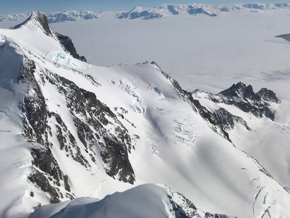
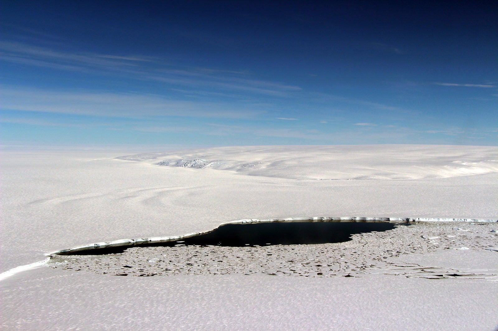
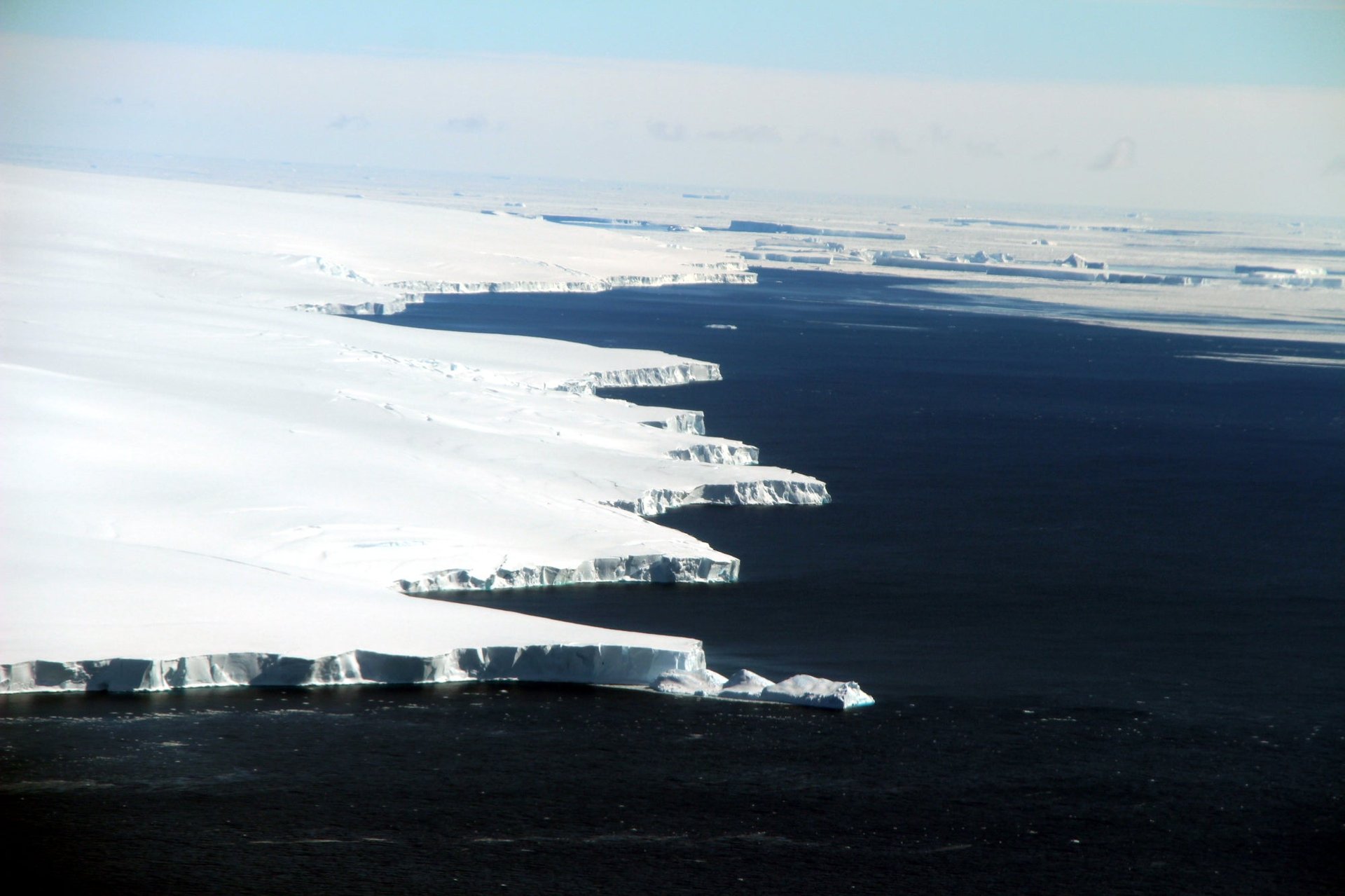
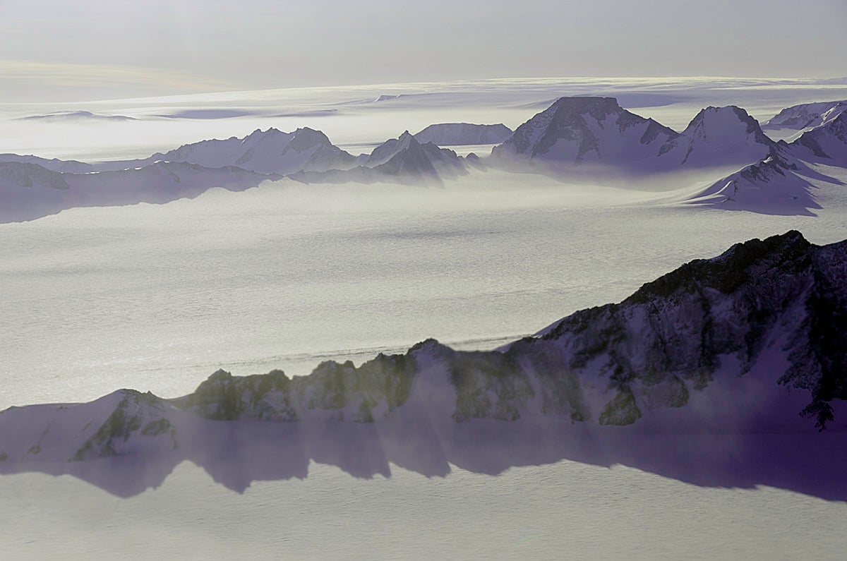
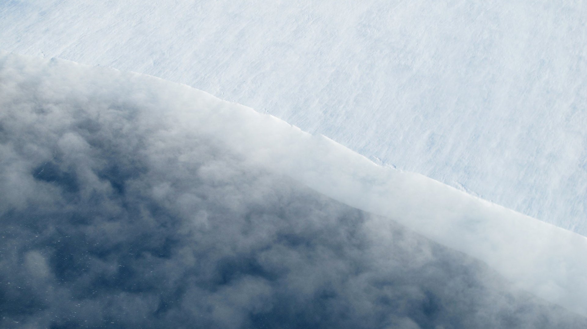
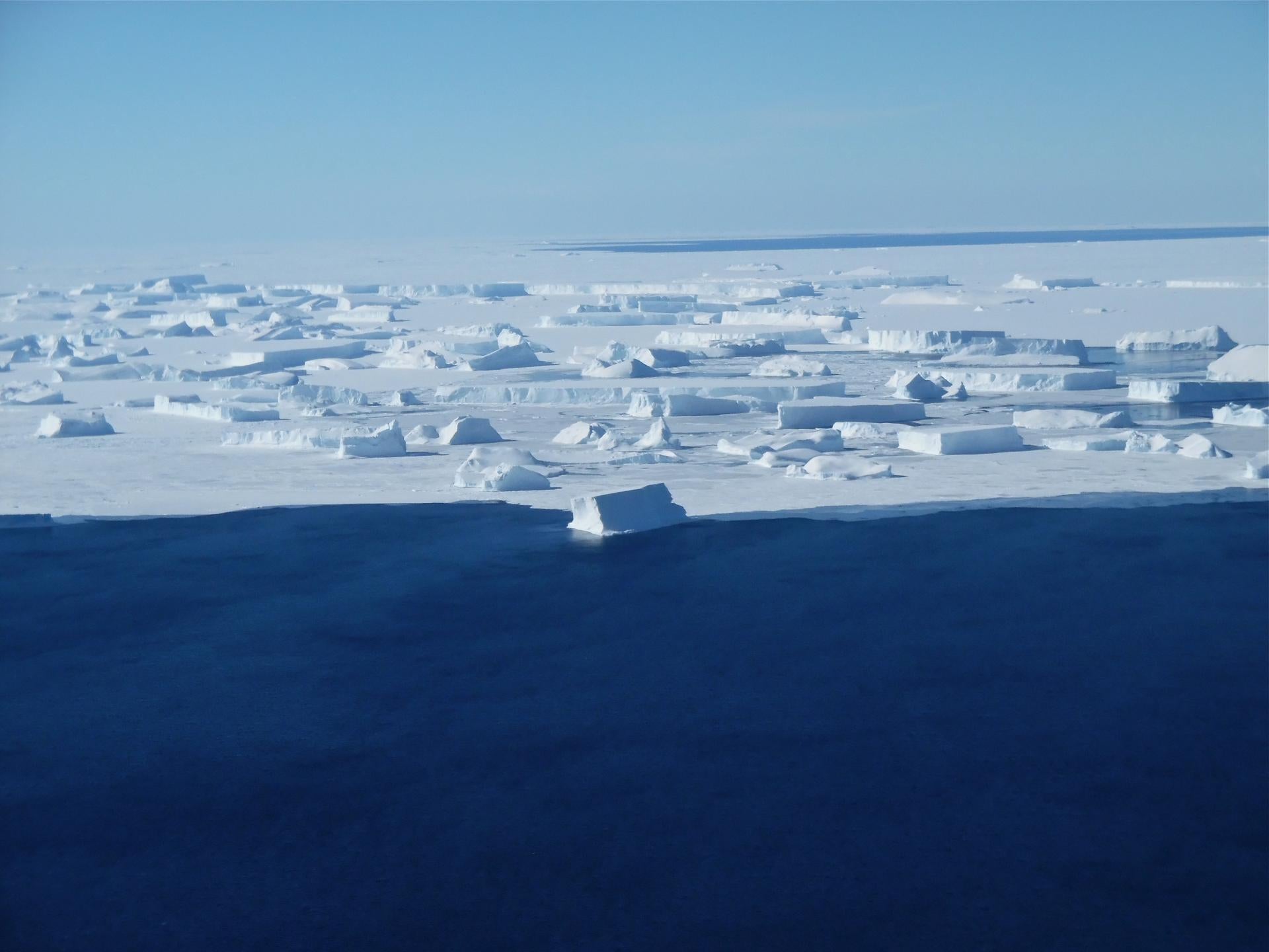
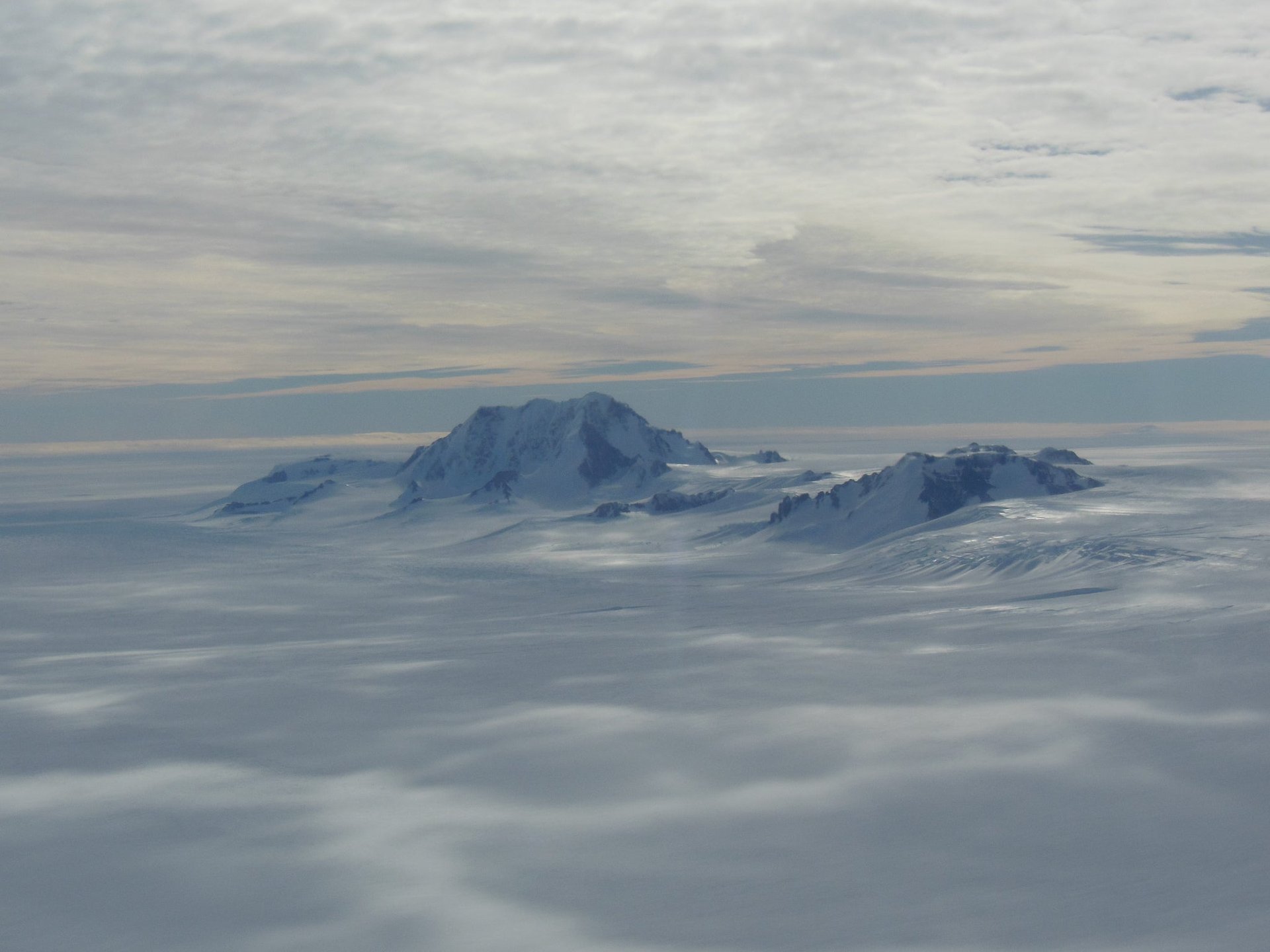
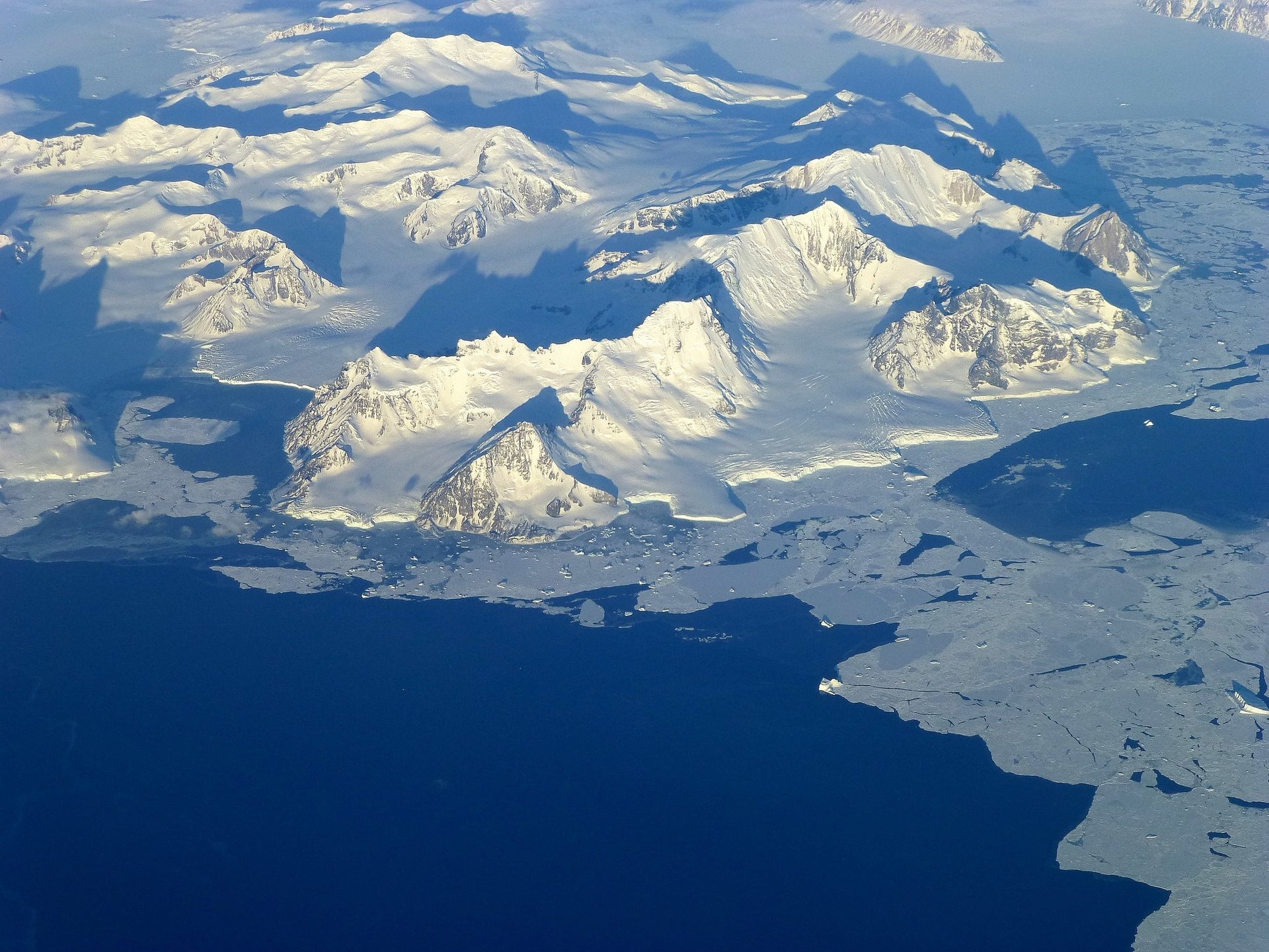
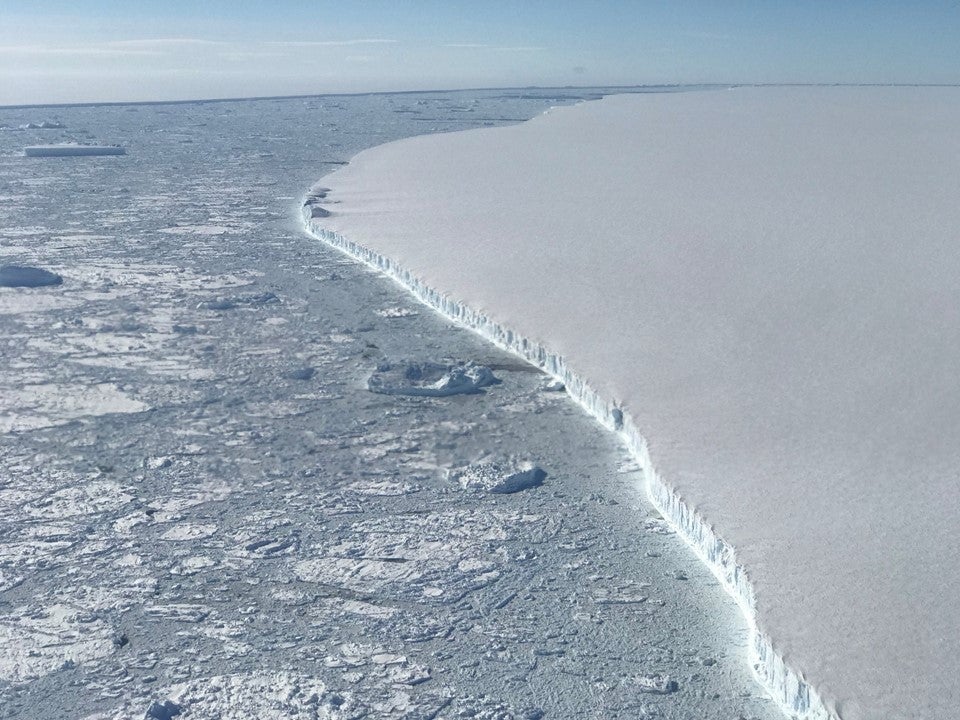
To get as close a look as possible on the rest of the continent, NASA’s Operation IceBridge routinely conducts flyovers. Often employing a DC-8 plane modified with scientific instruments, the IceBridge team surveys unexplored areas and track changes in ice formations. For nearly a decade, these flights have provided a unique perspective on parts of Antarctica otherwise unseen by the human eye.
📬 Sign up for the Daily Brief

Our free, fast and fun briefing on the global economy, delivered every weekday morning.