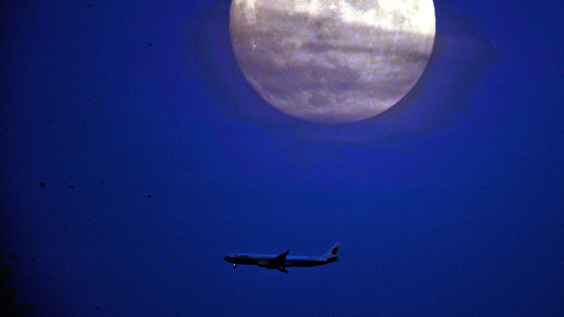
The promise of powerful satellite constellations orbiting hundreds of miles above the earth can seem, well, a little distant. But what if they could make long-haul flights faster?
Operators like Iridium and Inmarsat are promising that jet liners linked to space communications networks can save fliers money, time and carbon impact, as more efficient flights cut fuel use.
Today, an airliner flying five miles over the open ocean, beyond the reach of the radar systems used by civil air controllers, is dependent on flight plans written well before take-off, and what pilots could report over the radio to scattered air traffic controllers. Weather bulletins still arrive in the cockpit as brief text messages.
But a true global communications network—one orbit around the earth—could give pilots the flexibility to react to changing situations in real time, the same way Google $GOOGL Maps now allows drivers to re-route around traffic jams as they drive.
“A connected airplane helps me to enhance my situational awareness,” Captain Jonathan Lee, a 27-year veteran at Hawaiian Airlines, tells Quartz. “I no longer am using data that could be six hours old or more.”
The satellite age is young: Only in 2000 did the US allow civilians to use the most accurate signal from its global positioning system satellites, which had previously been reserved for the military. Ten years later, US airline regulators set a ten year deadline for all aircraft to join a system that constantly broadcast their GPS-derived coordinates in a standard protocol that can be detected by other planes and by air traffic controllers. With 2020 fast approaching, most airliners have adopted the system, known as ADS-B.
A company called Aireon, a collaboration between the US satellite company Iridium and several national air traffic control systems, is working to make that data even more powerful by collecting it from space. The company is placing satellites in orbit that detect ADS-B location signals from airplanes more efficiently than ground sensors. The resulting network will give controllers even more granular data on where aircraft are.
What this will enable is something that seems small—aircraft will be able to fly closer together. Currently, when aircraft are flying outside developed areas with constant radar surveillance, safety requires they maintain a distance of 80 nautical miles from other airplanes; at cruising speed, a jetliner can cover that distance in less than 10 minutes.
With a shared awareness of each plane’s location, jetliners could safely fly as close as 5 miles apart. That means planes can fly faster and waste less time creating a buffer zone, and air traffic controllers can more easily authorize new flight plans because they have greater situational awareness.
If pilots can adapt to changing conditions by changing their altitude or trajectory, they can make real gains: A 2012 NASA-commissioned study of 1,500 Virgin America and Alaska Air routes found that ADS-B could save one million gallons of fuel and shave 110,000 minutes of flying time.
The UK-based satellite company Imarsat began as a non-profit that linked sailors to land, and now its constellation of thirteen satellites offers broadband data links to airlines. Rather than emphasizing the use of this network by passengers, the company is focused on the benefits to the airline itself. It commissioned a study that argues that satellite-driven air traffic control could lead to a “a 1–2% reduction in current global fuel consumption, resulting in savings of US$1.3 billion, 3.39 billion litres of fuel and 8.5 million tonnes of CO2 annually.”
The study suggests airlines could save $15 billion by 2035 if they use networks to manage on-board inventory, schedule preventative maintenance, and cut weight; it is full of anecdotes like “American Airlines estimated that the weight saved by switching an 18kg briefcase to iPads for the flight crew reduced fuel costs by US$1.2 million over a year.”
But the immediate promise is simply flying smarter by giving pilots up-to-date information.
Lee, the Hawaiian airlines pilot, has been leading a trial of jetliners linked to Inmarsat’s network. On long-haul flights from Honolulu to Incheon, South Korea, he uses an app that combines weather and air traffic data to identify when to change the plane’s altitude to avoid turbulence and headwinds, a change that can be quickly okayed by air traffic controllers using the ADS-B system. Lee can even see 3D depictions of his aircraft as it traverses storm systems. One timely switch saved 10,000 lbs. of fuel on a single trip, though a typical result is to lower consumption by 500 to 1,000 lbs.
“Say we take 2% fuel savings, that’s huge, millions of dollars,” Lee says. “Then you add on aircraft maintenance and performance, and being able to prevent the Southwest engine catastrophic failure….you start adding up all that operational savings, that’s a lot.”