Satellite images show the intensity of the deadly flames that devastated coastal Greece
At least 87 people and more than 500 homes have been destroyed by the recent wildfires in Greece, where officials suspect arson was the cause of the blazes. Crews continue their search for missing family members.


At least 87 people and more than 500 homes have been destroyed by the recent wildfires in Greece, where officials suspect arson was the cause of the blazes. Crews continue their search for missing family members.
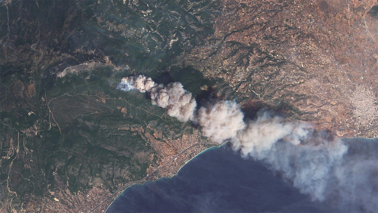
Higher-than-average temperatures worldwide and a particularly slow jet stream contribute for these perfect wildfire conditions. This satellite image provided by the European Space Agency (ESA) show the sheer intensity of just one of the fires outside of tourist destination Kineta:

Short-wave infrared imagery techniques allow image analysts to see through the smoke and haze. Typically, thermal radiation like lava flows or fires cause a glow. Use the slider below to see how the glow from this wildfire indicates the intensity of the blaze.
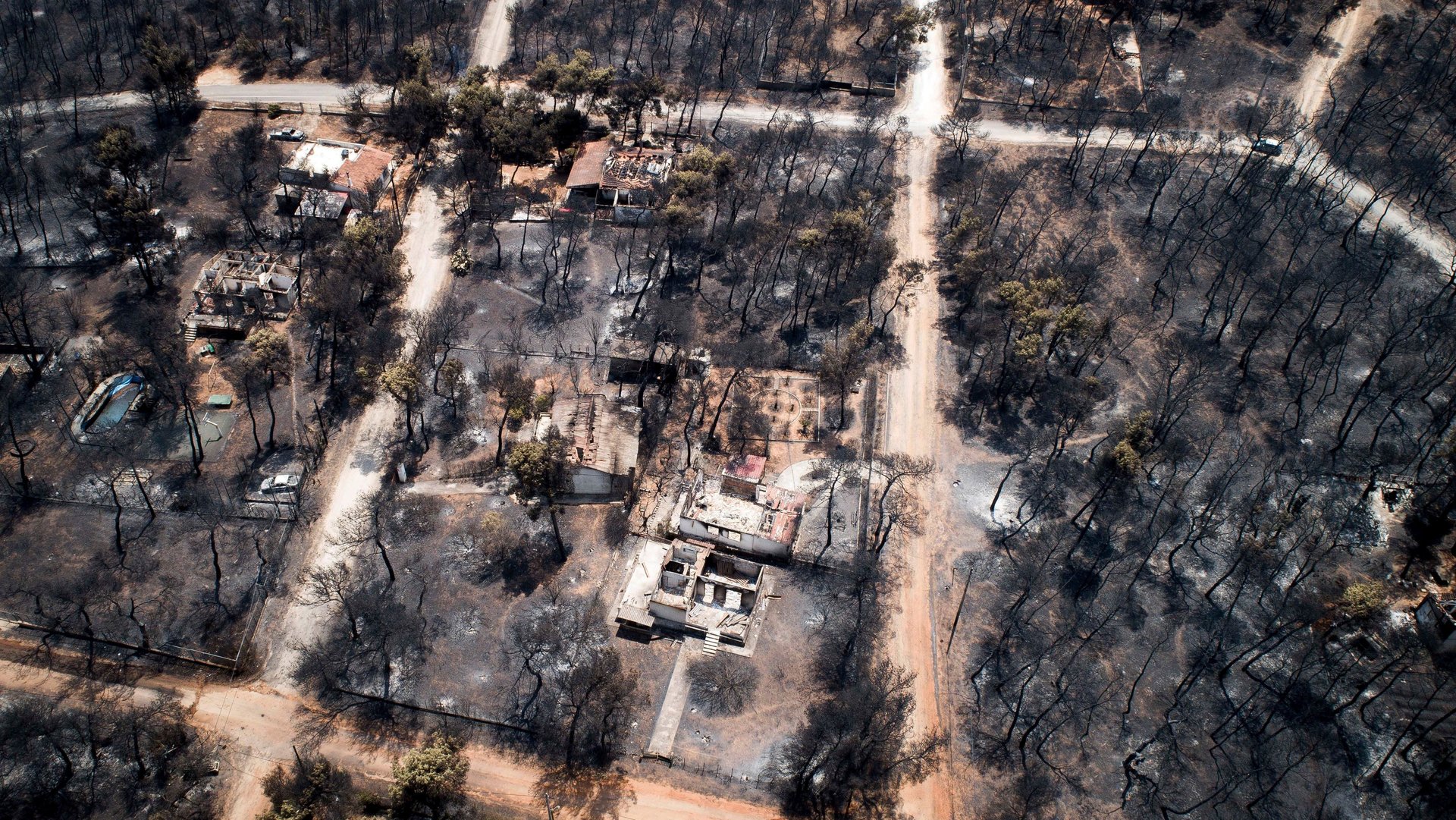
Further east, flames reached coastal towns Mati and Rafina. Firefighters are searching through charred remains for trapped residents. Residents fled on their own in the absence of civil evacuation orders. The changes from green to gray in areas of vegetation show the extent of the damage:
A closer view of homes along the coast shows how few structures were spared.
Winds of 75 mph left a 20-minute window to evacuate. Some residents tried to find safety at the beaches as their town was engulfed. Dozens were killed.
Timely high-resolution satellite imagery helps identify impacted areas immediately after fires. Beyond calculating the scope of damage, satellite imagery provides helpful forensic evidence relating to the cause of wildfires. The Greek government announced yesterday (July 27) that images like these indicated arson.