This app will help save Australians from the next deadly bushfire
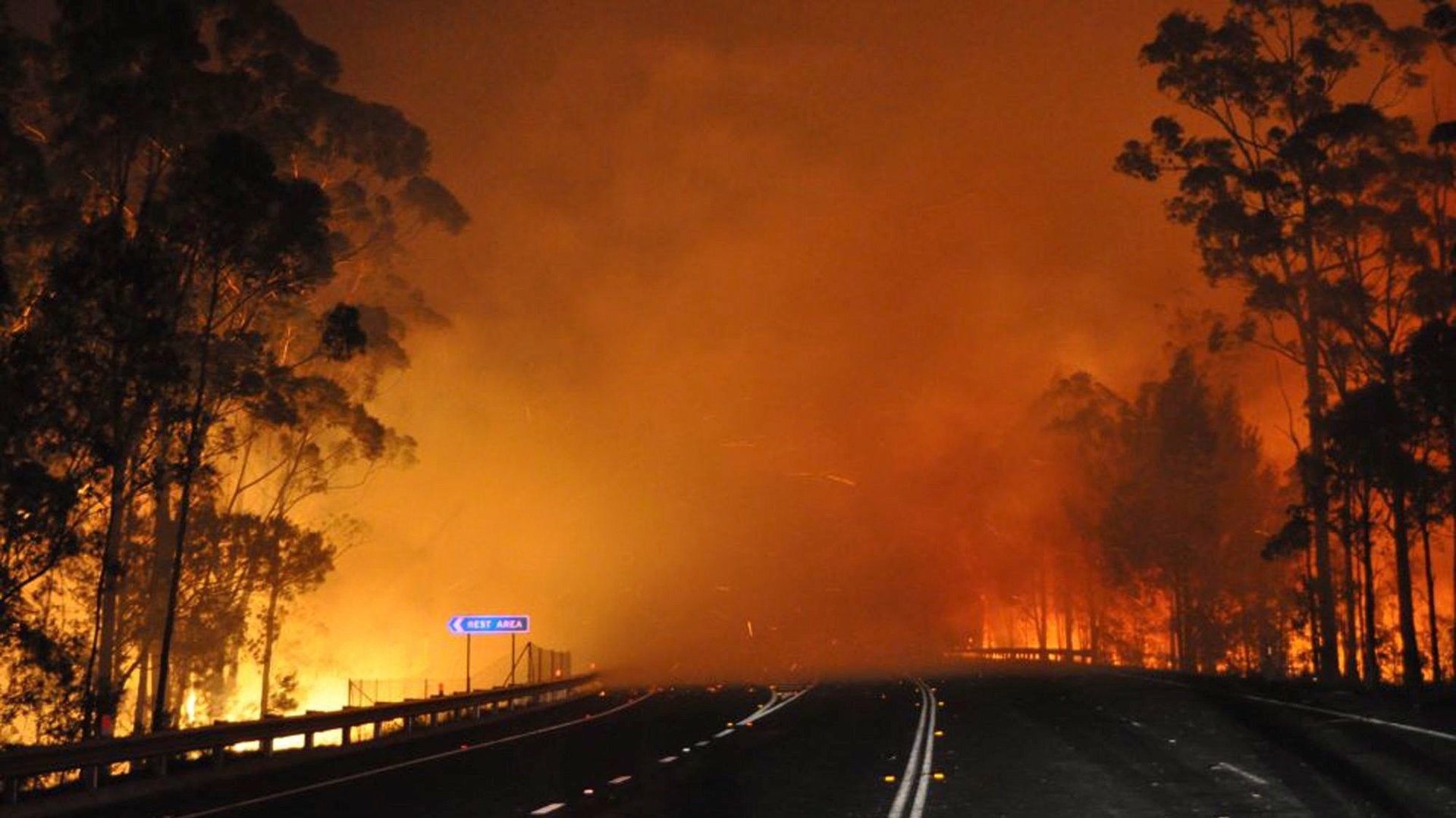
With the Australian state of New South Wales aflame with the worst bushfires since 2001, scientists are preparing to launch a smartphone and tablet app to help firefighters predict in real time how, where and when a conflagration will spread.


With the Australian state of New South Wales aflame with the worst bushfires since 2001, scientists are preparing to launch a smartphone and tablet app to help firefighters predict in real time how, where and when a conflagration will spread.
Australia desperately needs such an app. Bushfires have been a feature of the Australian landscape for millennia but climate change and rising temperatures have increased their number and severity while development has exposed more homes, businesses and wildlife to incineration.
A “significant increase in frequency of severe disastrous bushfire [is] causing unprecedented land lasting socioeconomic and ecological impacts,” according to a presentation (pdf) made this week to unveil the app by Jim Gould, a scientist at Australia’s Commonwealth Scientific and Industrial Research Organization (CSIRO).
Gould’s presentation said the tools currently used to forecast fire behavior in Australia are outdated, making it difficult for fire fighters to predict how bushfires will spread and thus adopt the right strategies to extinguish them and protect communities.
CSIRO scientists developed the app, called Amicus, to tap a variety of fire-related databases and plug the information into a computer model that considers landscape characteristics, vegetation, climate, fuel hazards and bushfire behavior. CSIRO operates a bushfire research center and the app collates the work scientists have conducted over the decades into one software program.
“It will allow the people that are closer to the fire ground to make some quick estimates about what kind of fire they should expect so they can ensure the safety of their firefighters and give better warning to the local people,” Gould told Australia’s ABC News.
Unfortunately for firefighters combating the current bushfires, the app won’t be ready for prime time until early 2014.