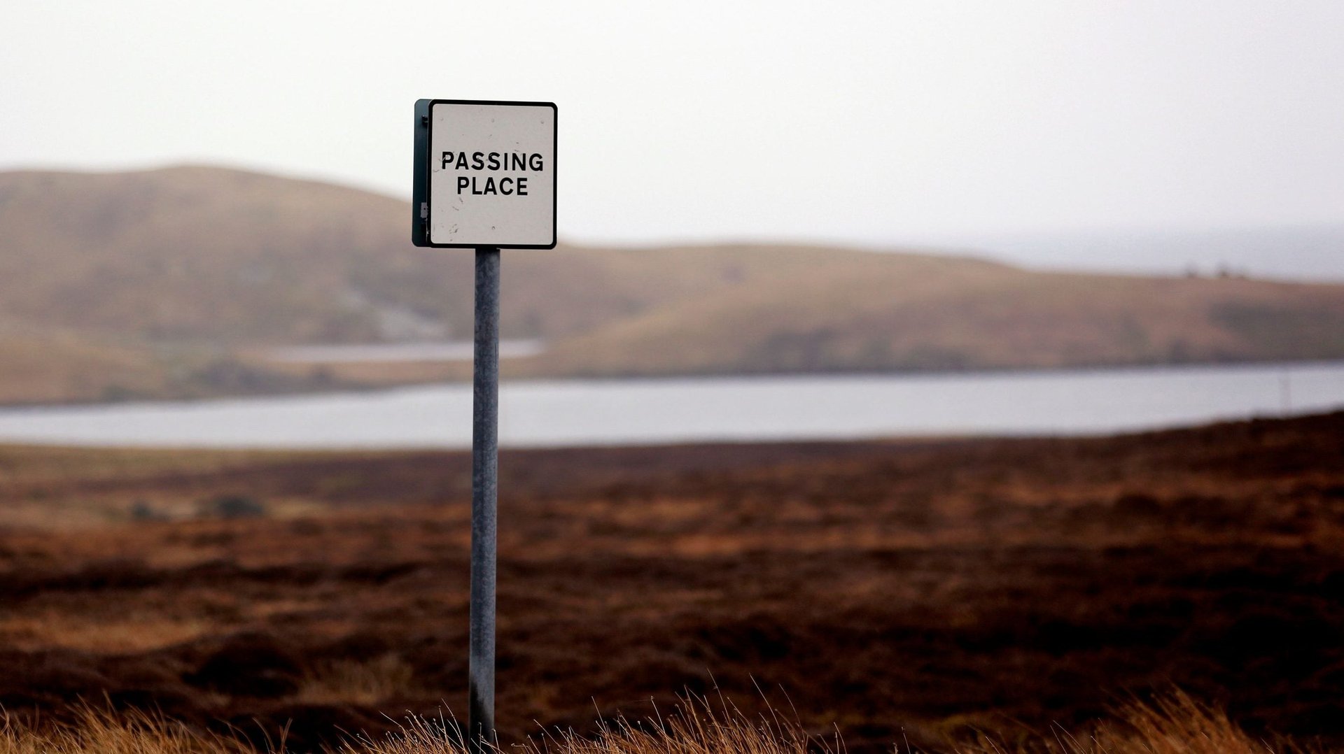
Those tasked with mapping Scotland and its remote Shetland Islands will need to start thinking outside the box.
As of today, official maps of Scotland may no longer relegate the isolated islands to an enclosed box in the corner. The islands are over 200 km (125 miles) from the northern coast, 12 hours via ferry. Cartographers inset far-flung locales in boxes to include them while maintaining useful geographic detail.
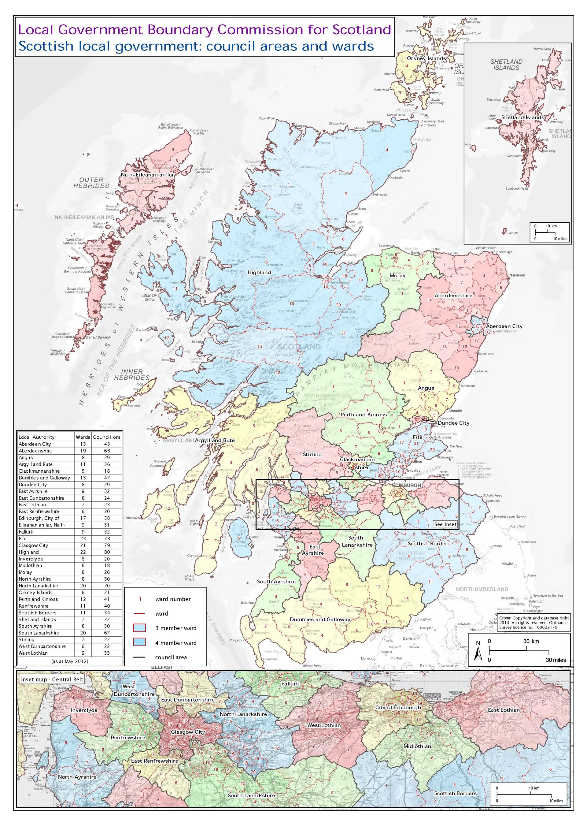
A map from the Local Government Boundary Commission for Scotland illustrates the effect.
The technique irks residents of the islands. Tavish Scott, a member of Scottish parliament representing Shetland says the move is needed to combat inaccuracies and misunderstandings about the islands. He told the BBC that “Recognizing where Shetland is located would go a long way to understanding the challenges we face as an island.”
The Islands (Scotland) Bill takes effect today after passing the Scottish Parliament unanimously in May. It states that “in any map of Scotland, the Shetland Islands must be displayed in a manner that accurately and proportionately represents their geographical location in relation to the rest of Scotland.”
Ordnance Survey, the UK’s official mapping organization, opposed to the decision, saying they ‘want to avoid publishing maps which are mostly sea.’
The state-owned cartography company told the BBC, “It would be virtually impossible to print a paper map, with any usable detail, of this vast geography.”
The edict only applies to maps of Scotland published by Scottish public authorities. It allows cartographers to enclose the islands if they also publish their reasons for doing so.
Boxing islands, or obviously altering their placement for the sake of detail and layout, is a common practice in cartography. Maps of Spain do it with the Canary Islands, Japan with Okinawa, Ecuador with the Galápagos, and the US with Alaska and Hawaii.