GPS has been in action for 30 years and it’s just getting started
The first satellite of the modern US global-positioning system was launched on Feb. 14, 1989.


The first satellite of the modern US global-positioning system was launched on Feb. 14, 1989.
The decision changed the world economy, making space a part of nearly everyone’s daily life. Just as the invention of the marine chronometer helped set the stage for the British Empire’s naval dominance in the 19th century, the space power of GPS underlies America’s post-Cold War hegemony.
The US military began experimenting with the technology in 1978, and approved its use by airlines after the Soviet Union accidentally shot down a straying Korean Air flight in 1983. By 1993, anyone on Earth could use GPS to find out where they are and what time it is. By 2000, the US government decided to stop intentionally degrading the signal out of security fears.

Now, global navigation satellite systems are a requirement for world powers: The US has begun upgrading its GPS system, with the first new third-generation satellite flying late in 2018. Also in December, BeiDou, the Chinese global-positioning system, became fully active. Russia’s own system, GLONASS, came fully online in 2011. And the European Union operates Galileo, which will be completed next year.
These systems aren’t necessarily “rivals” to GPS—like the original system, their signals will be freely available to civilians, and many private manufacturers are designing devices to use several of the different systems. But geopolitical competition does play a role: Each world power wants to make sure its military and intelligence services always have access to unjammed GPS data.
The services don’t worry much about physical attacks on GPS satellites because they are all equally vulnerable—deterrence in space is based on the fact that rivals could take out others’ satellites, potentially causing a space-debris mess that would make it difficult to use satellites for any purpose.
The US, the most dependent of any nation on space, focuses its deterrence strategy on making sure its systems are resilient enough to survive a variety of different attacks, hoping that rendering its satellite systems inoperable is simply too much work for an adversary.
Jamming GPS signals from the ground, however, is fairly easy. That’s one reason the new generations of guidance satellites have various tricks, from frequency hopping to more powerful signals, to protect their service.

Jamming is a major fear for modern economies because of the basic infrastructure GPS provides for digital life. Disparate computer systems around the world can’t communicate securely without a shared sense of what time it is, a synchronization service provided by the global network, with each satellite boasting an ultra-precise atomic clock. ATM withdrawals, stock transactions, mobile phone networks and the power grid are all reliant on GPS.
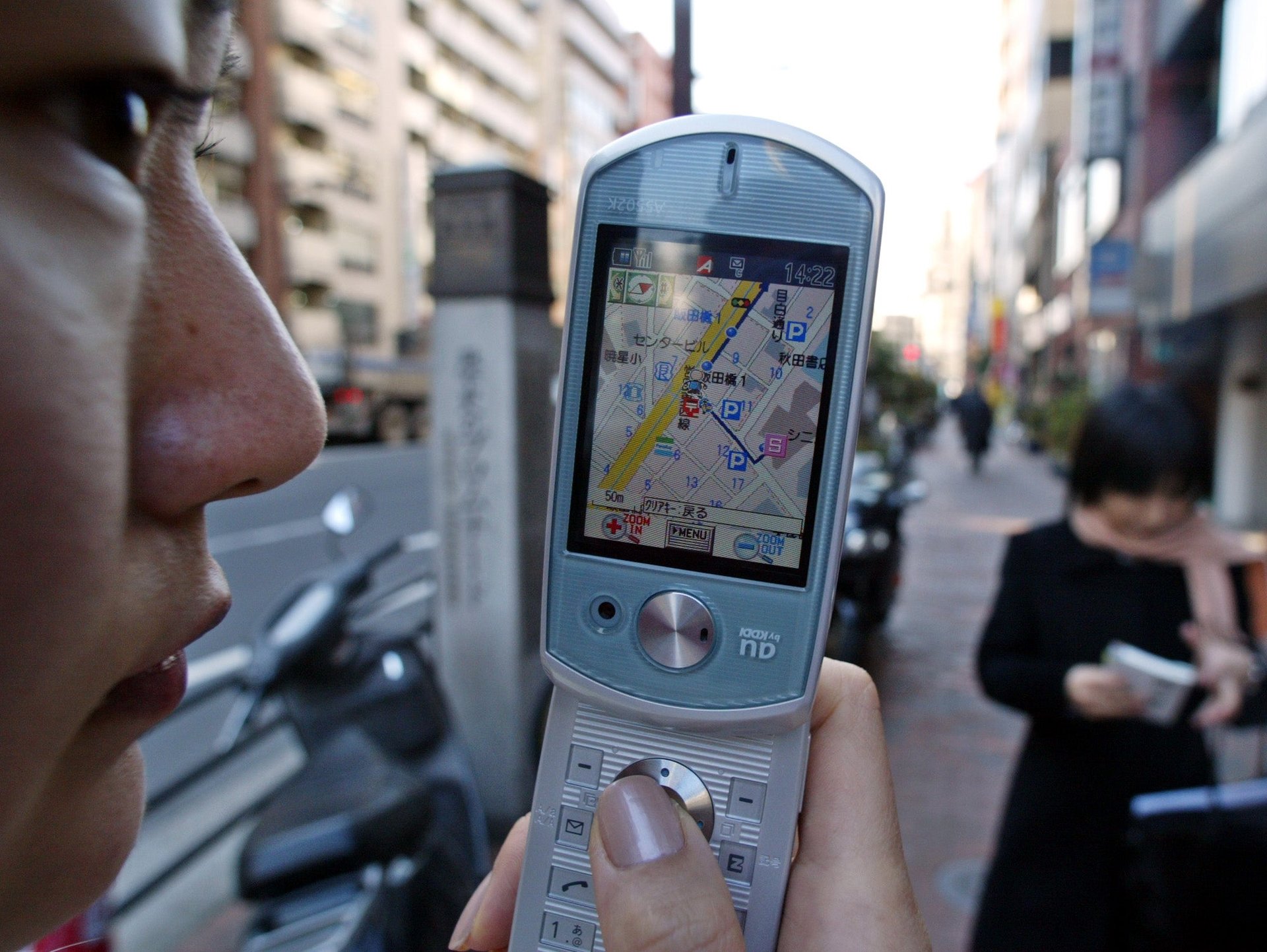
And that’s not even getting into the more obvious uses of GPS: It’s hard to imagine the modern smartphone revolution without that little chip connecting to the system, when it comes to finding your way around an unfamiliar city with a map app or summoning a car service to where you are standing. And then there are the more pernicious uses—location tracking is used by governments and corporations to learn more about your life than you might wish to share.
Sometimes our emerging global panopticon has its benefits: A combination of the GPS system with new satellites launched by Iridium promise to make the missing airliner a thing of the past.

The success of the US government-run constellation and the lessons learned in constructing it also inspired the first private satellite companies in the 1980s and 1990s. While many of those firms were clobbered in the tech bubble and the mobile-phone revolution, they pioneered satellite TV broadcasting, communications and Earth-observation businesses that still exist today. It also provided a market for the fledgling private-rocket industry that successors like Elon Musk’s SpaceX have inherited today.
Now, new satellite companies are planning to launch thousands of satellites to provide internet service from space, while others plan to use them to gather vital data about our planet. They would not be doing so without the ubiquity of GPS.