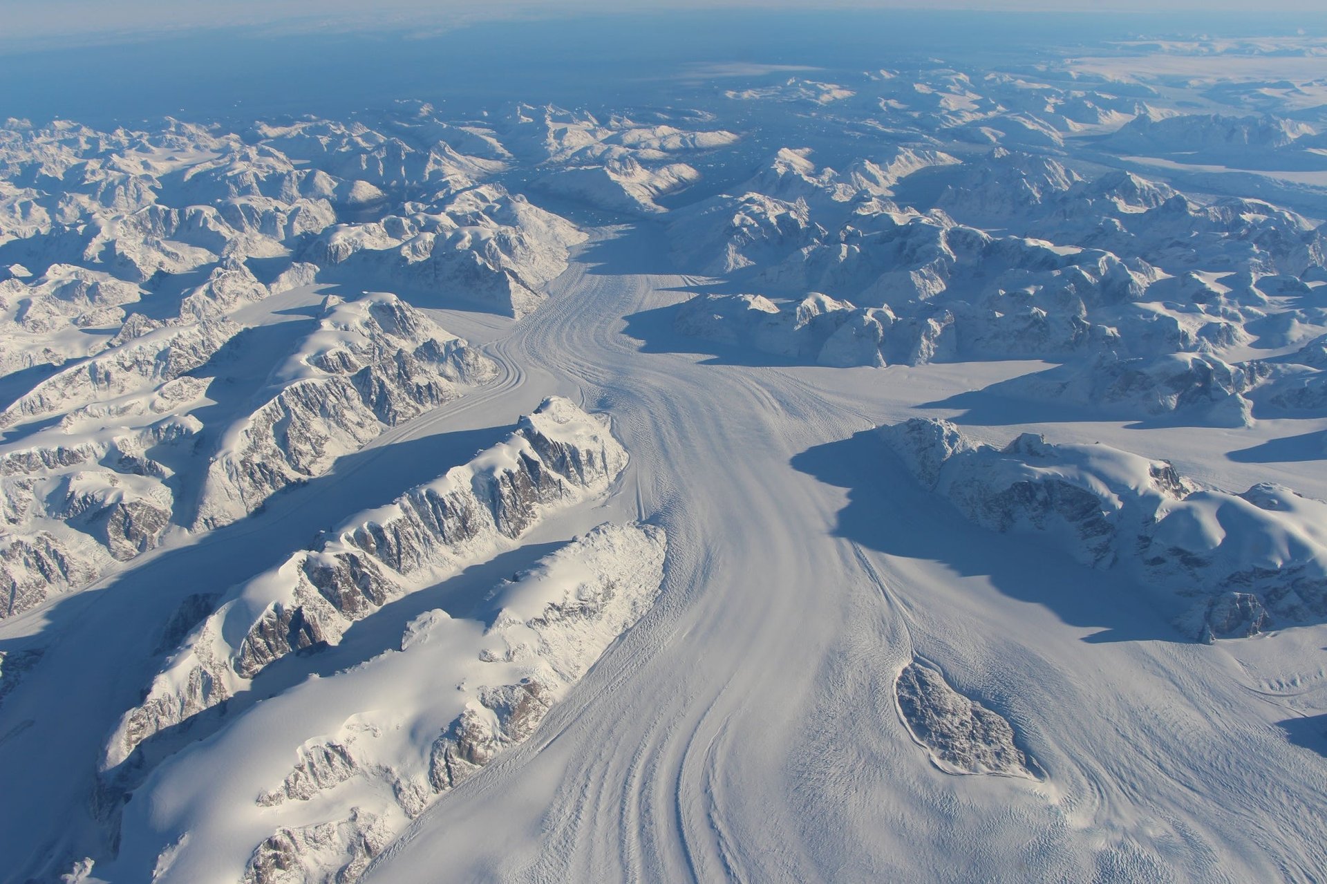
Photos: Greenland’s remote tundra, seen from above
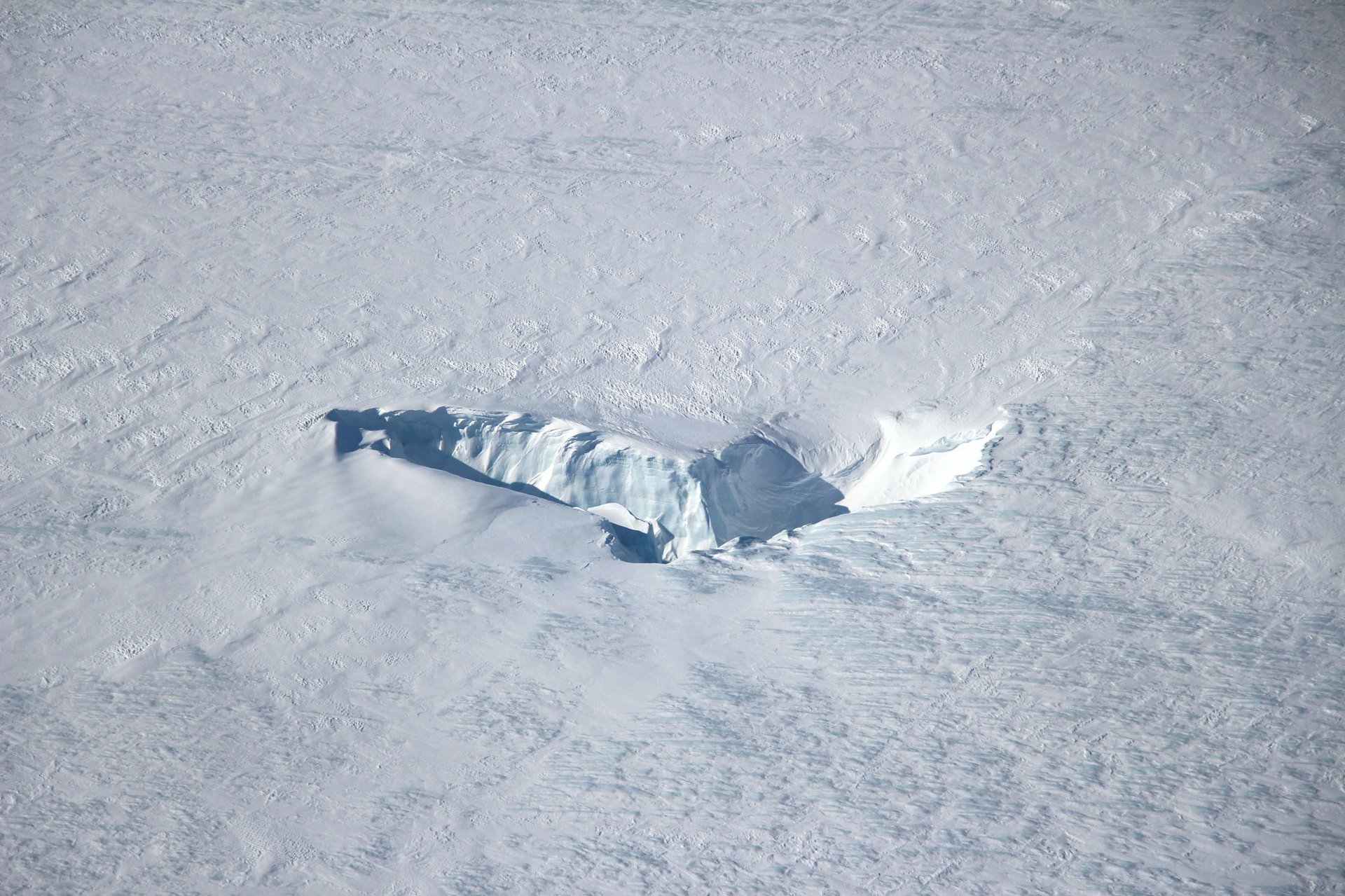
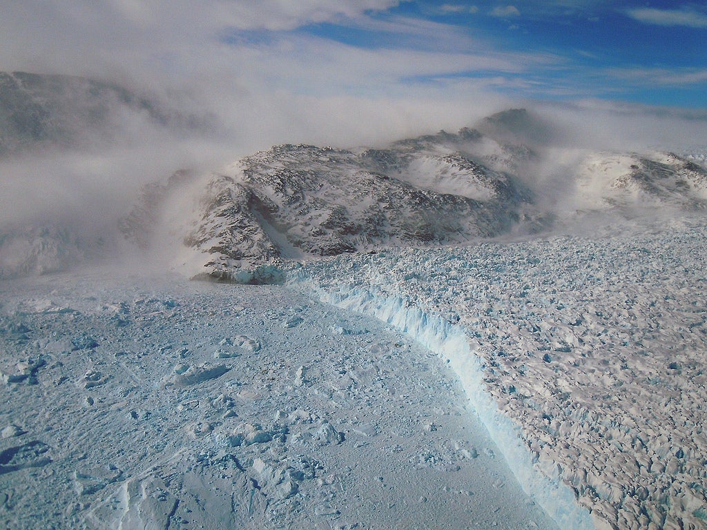
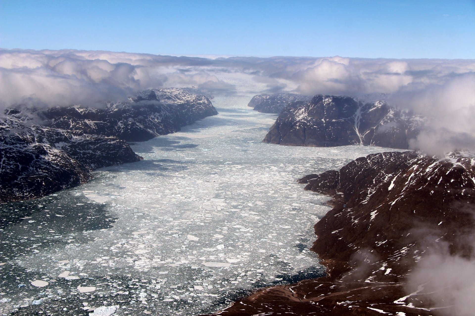
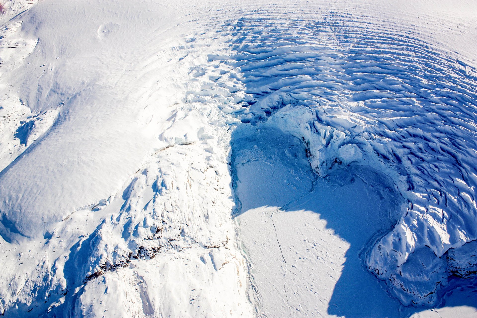
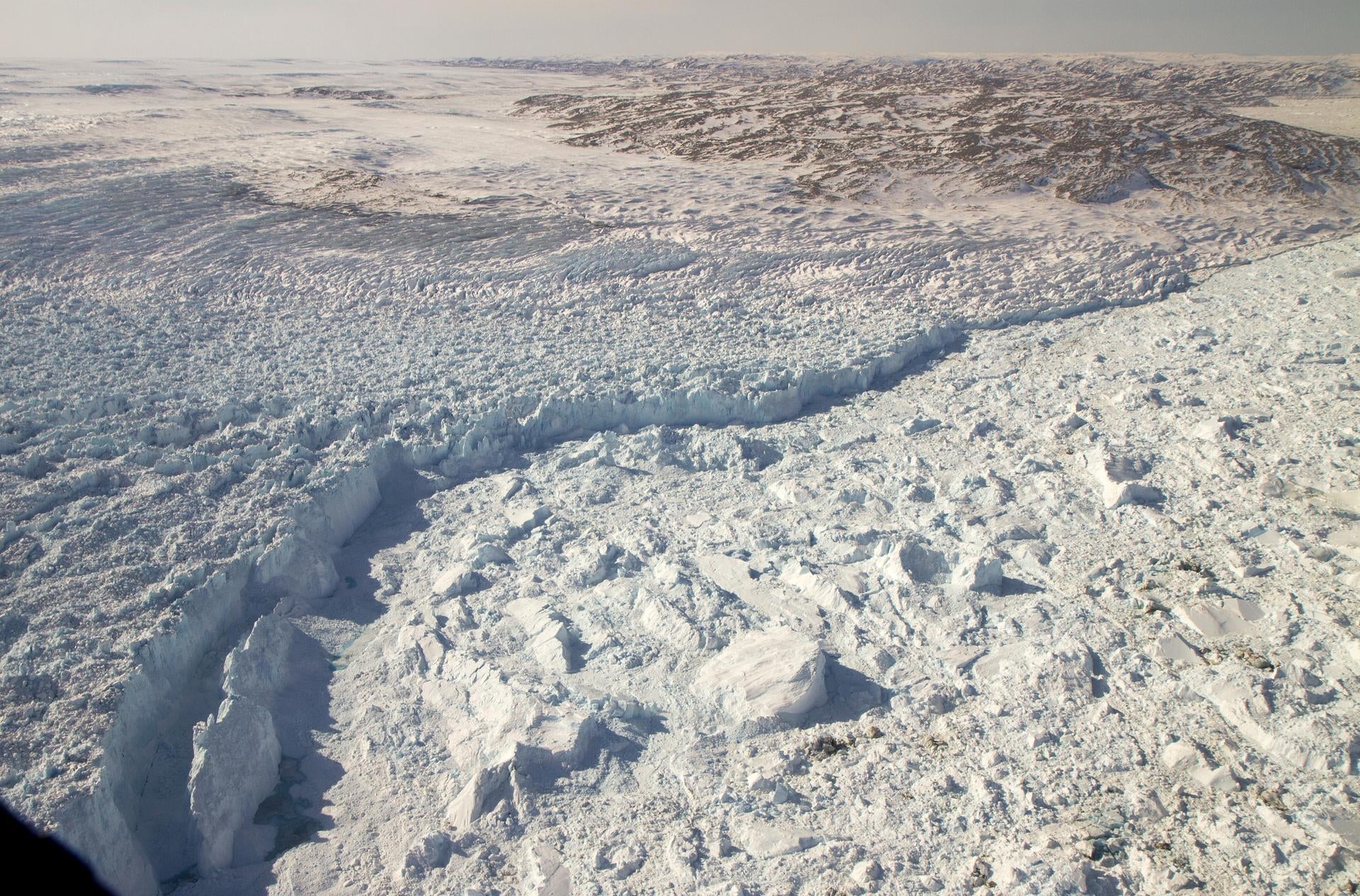
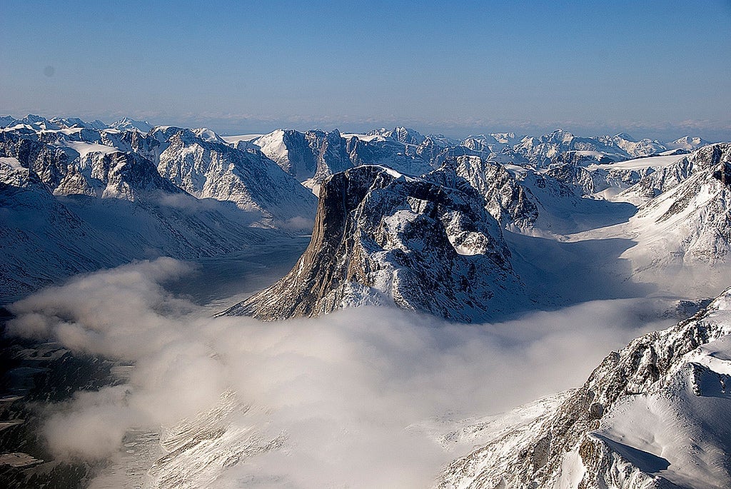
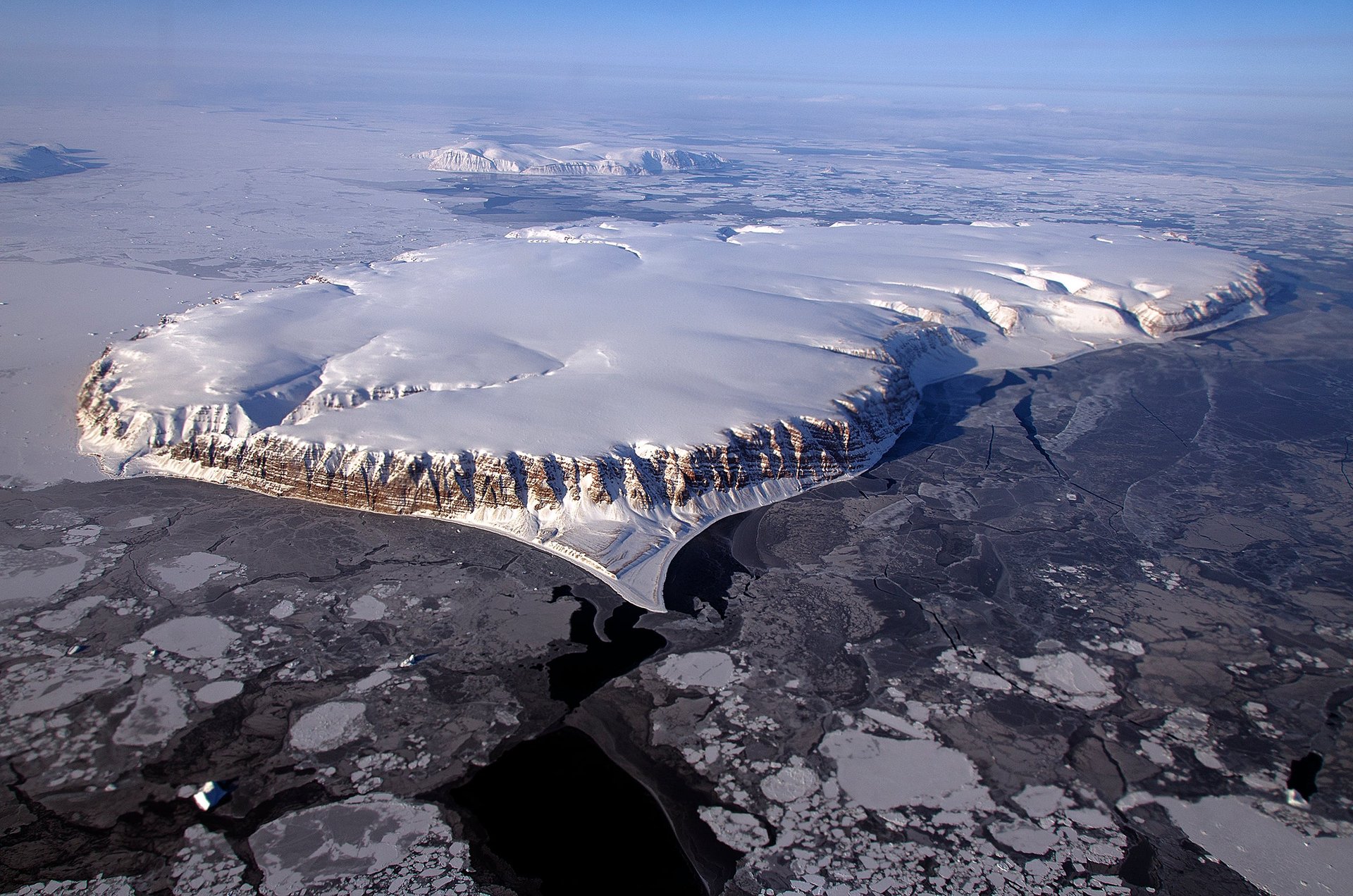
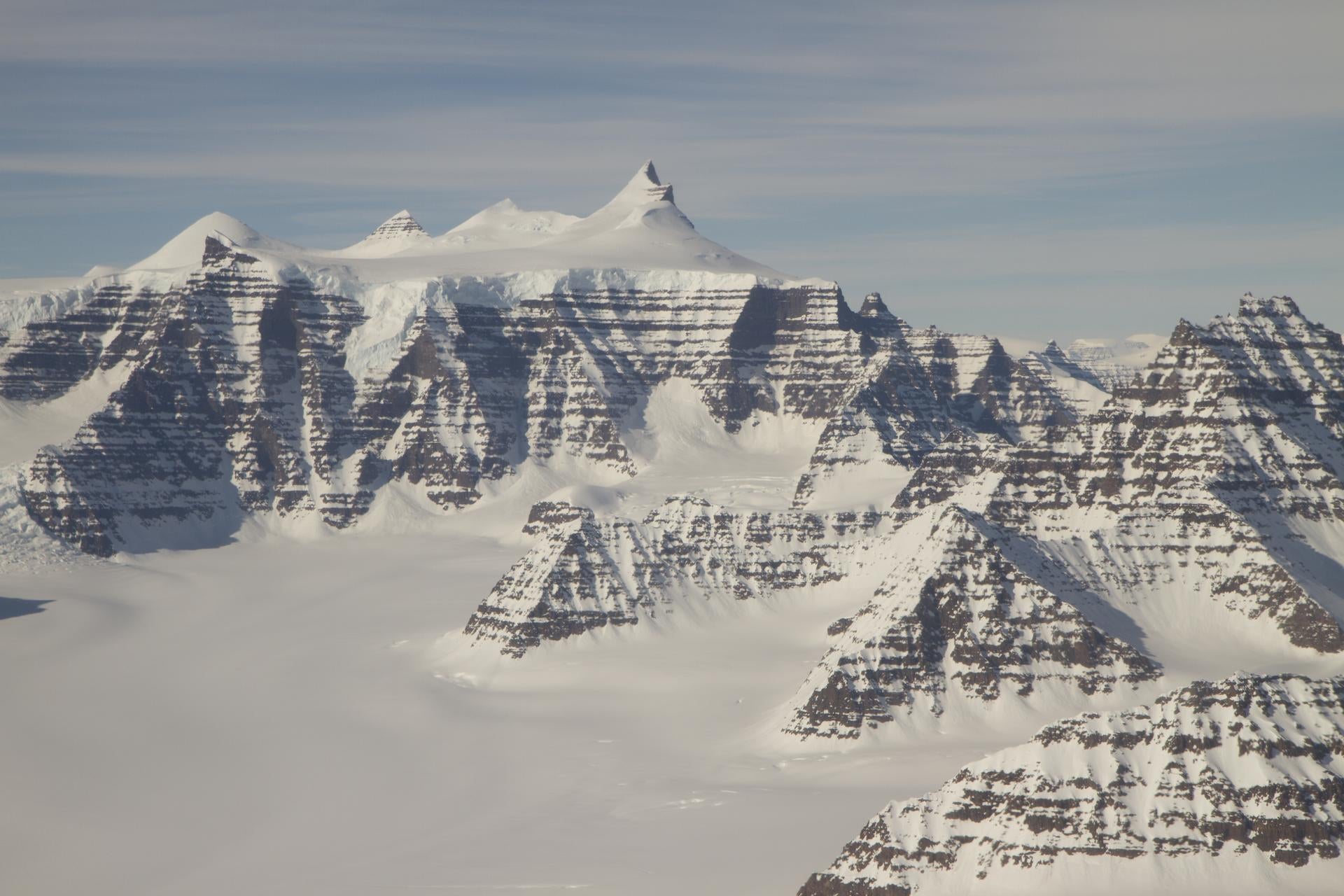
Greenland’s massive expanse of ice and snow stretches over 800,000 sq miles (about 1.3 million sq km), with very little of it easily reachable over land. To survey its varied topography, continually under threat from climate change, researchers at NASA routinely conduct research flights over Greenland’s icy coasts and interiors.
ByJohnny Simon and Johnny Simon
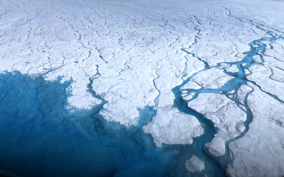

Greenland’s massive expanse of ice and snow stretches over 800,000 sq miles (about 1.3 million sq km), with very little of it easily reachable over land. To survey its varied topography, continually under threat from climate change, researchers at NASA routinely conduct research flights over Greenland’s icy coasts and interiors.
Here are some stunning shots from them:
