Hurricanes blow. And unfortunately, the current models that predict their paths aren’t so great, either.
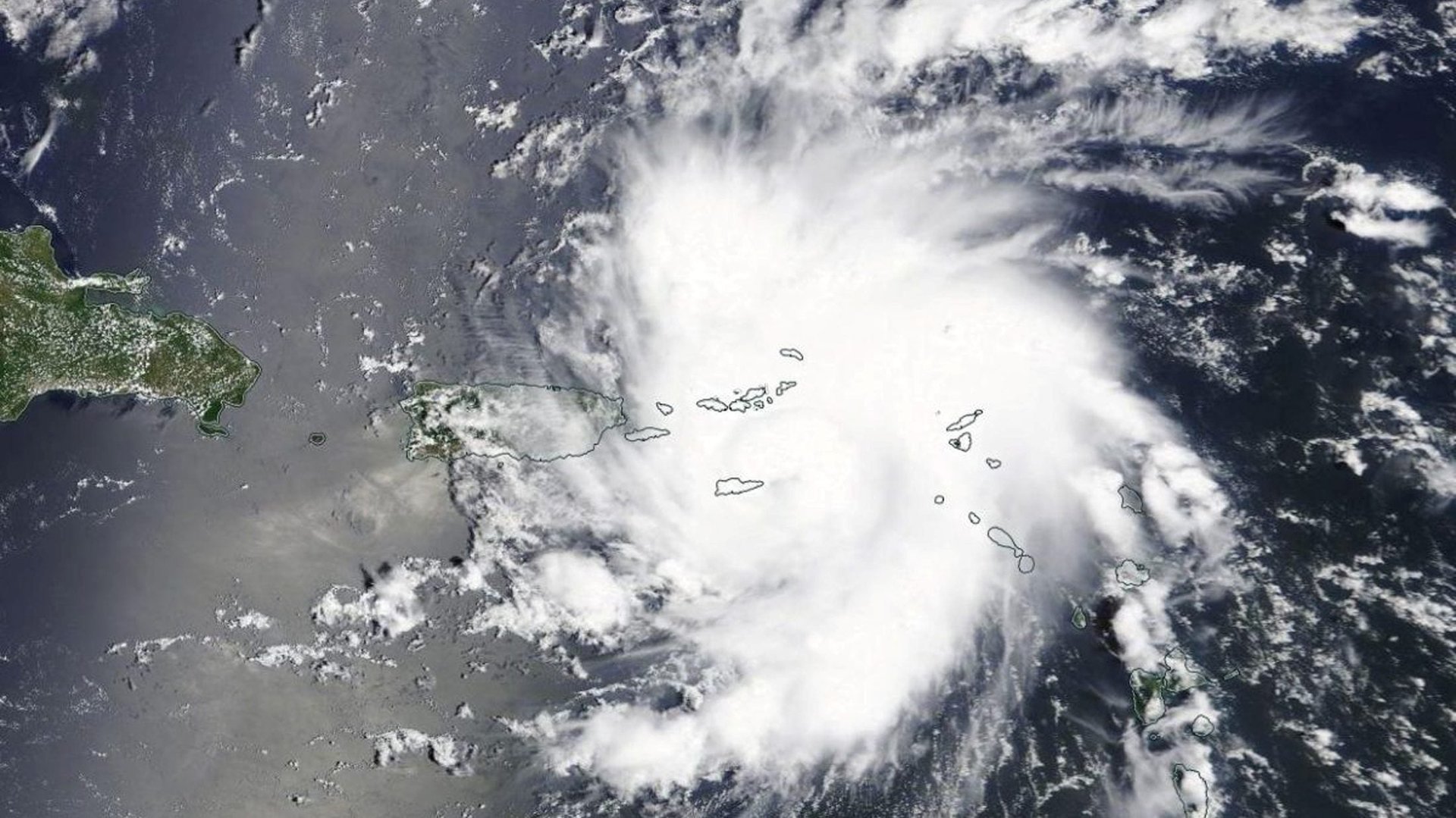
As of Friday morning (Aug. 30), the US National Hurricane Center has generated maps that show Hurricane Dorian barreling directly toward Florida. State authorities have declared a state of emergency to encourage residents to prepare for the storm, which should gain strength and make landfall early next week.
The trouble with these predictions, though, is that it’s hard to tell which ones will come true. The maps the National Weather Service generates are a combination of several different estimates, called spaghetti plots, which get their name from the spindly lines that show where a storm could go. Most often, researchers show several of these models’ lines at once, which makes it look like they’ve thrown a handful of loose spaghetti onto the map.
Quartz spoke with Jeff Masters, the director of meteorology at Weather Underground, a product of IBM $IBM, to explain how these models work and contribute to predicting a storm’s path. This conversation has been edited for length and clarity.
Masters: These models form the basis for how a human forecaster builds a forecast. They’re helpful to look at because they give you an idea of the uncertainty that forecasters are considering when creating the official forecast.
These models subdivide the atmosphere into a 3D grid that has little cubes of the air. Inside each of those cubes, you have a piece of air that has an initial temperature, pressure, and humidity. Each of the cubes talks to its neighbor, like if you’ve got wind blowing from one cube to the other.
Once you have that baseline information for each cube, you know what the physics are. There are mathematical equations that govern the behavior of the atmosphere, which behaves like a fluid. The equations of fluid dynamics are solved mathematically.
The European model and the American are both top-notch models, and it just happens to be that over the last three years, the European model has nudged out the American model. The reason the European model has been a bit better is because it’s got a much larger team that has spent a lot more time and a lot more money developing their product.
That said, the best forecast is never from an individual model. About 15 years ago, the US National Hurricane Center (NHC) started doing what they call the consensus model approach to forecasting. They realized if you take the five or so top computer models we have and kind of average them together, that forecast is almost always unbeatable.
If you get the official forecast from NHC, that’s going to be the average of our five best models, which are the European Center for Medium-Range Weather Forecasting, the Global Forecast System (run by the US National Weather Service), the US National Weather Service Geophysical Fluid Dynamics Laboratory model, the United Kingdom Met Office model, and one other model typically.
Editor’s note: The other models listed in a blog post by Masters include the US National Weather Service Hurricane Weather Research Model and the US Navy Operational Global Prediction Center System.
The number one issue is the initialization of the model. You have to know what the atmosphere looks like when you start. We simply don’t have good observations over the oceans because they’re a data-poor area. We don’t have ground-based air stations taking measurements, we’re not launching balloons into the atmosphere. We’re relying on satellite information, but the satellites have limited capabilities. They can’t see through clouds, and you just don’t have the density of observations over the oceans to initialize what a hurricane is doing right now.
It’s a case of garbage in, garbage out: If you start with garbage, you’re going to get a garbage view of the forecast. If you’ve got a blurry view of the atmosphere, it’s not going to be a very clear view of the forecast either.
Last night (Aug. 29) there was a considerable boost given to the forecast because NOAA operates a jet that goes around the hurricane and drops probes along the periphery of the storm and drops parachutes. When that jet flies around the hurricane, we observe a 15% increase in the accuracy of that forecast. That data went into the forecast, and this morning’s run from those forecasts have started to converge on more of the West Palm Beach. Part of the reason we think they did that was because they had a better starting point for the model predictions due to better data that came in from NOAA’s jet airplane last night.
There’s no substitute for flying an airplane into a storm and taking direct measurements. The hurricane centers are essential. These centers have got aircrafts going into low altitudes of hurricanes to take measurements.
What I’d like to see, since that is dangerous work, is drones going into hurricanes. Cheap, low-cost drones, hundreds of them saturating the hurricane and taking measurements. This is something that is coming, but we need the willpower and the funding to make it happen.
The other thing we could use is better satellite data. There’s a whole fleet of satellites up there now called Cygnus satellites. They’re eight satellites that all whip around the Earth and use GPS signals to measure what the windspeed is on the surface of the ocean, and that’s been really great addition for research.
But right now it’s not operational because we don’t have the money to make it so. The data’s coming in, but we don’t get it in real time. The issue is you have to have people there to process the data 24/7, and that’s expensive.
You get what you pay for. If you want better hurricane forecast, you need to invest the money to do it.