These aerial photos show the destruction of the Amazon fires

Here today, gone tomorrow.
Image: Victor Moriyama/Getty Images
By
We may earn a commission from links on this page.

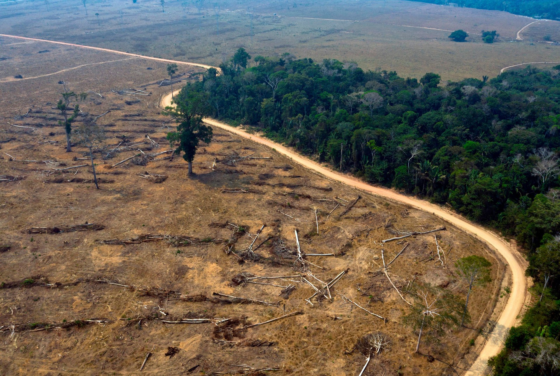
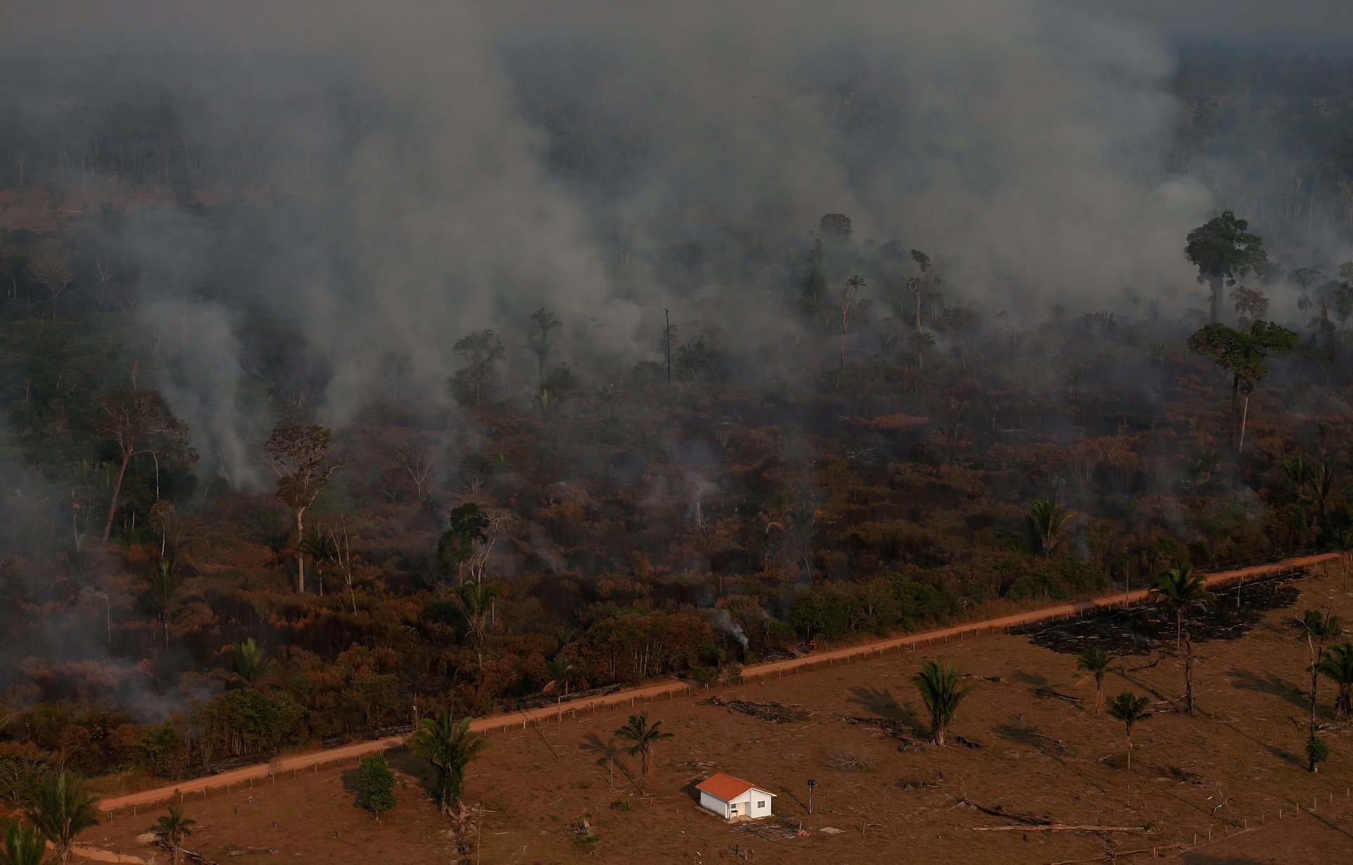
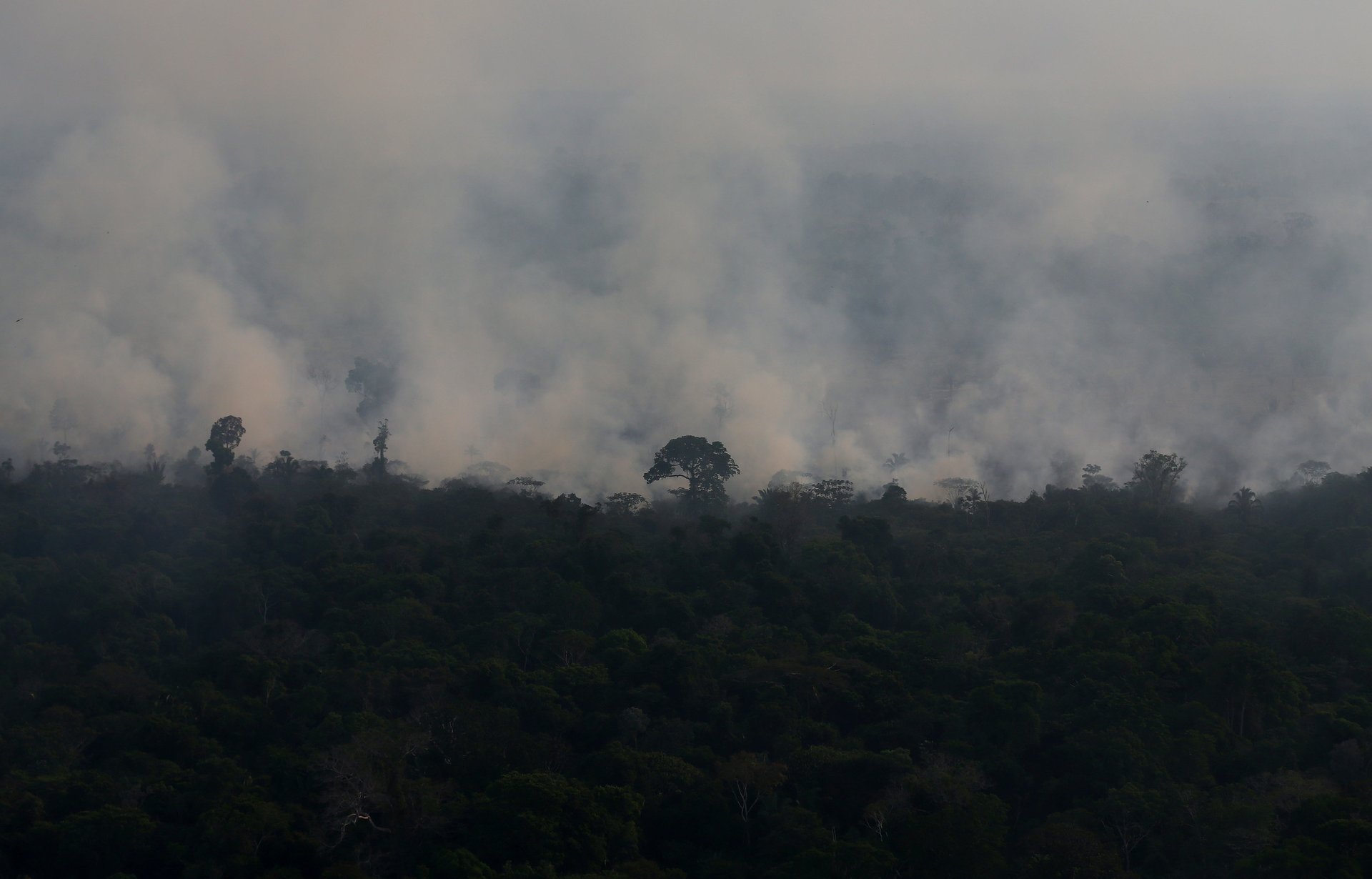
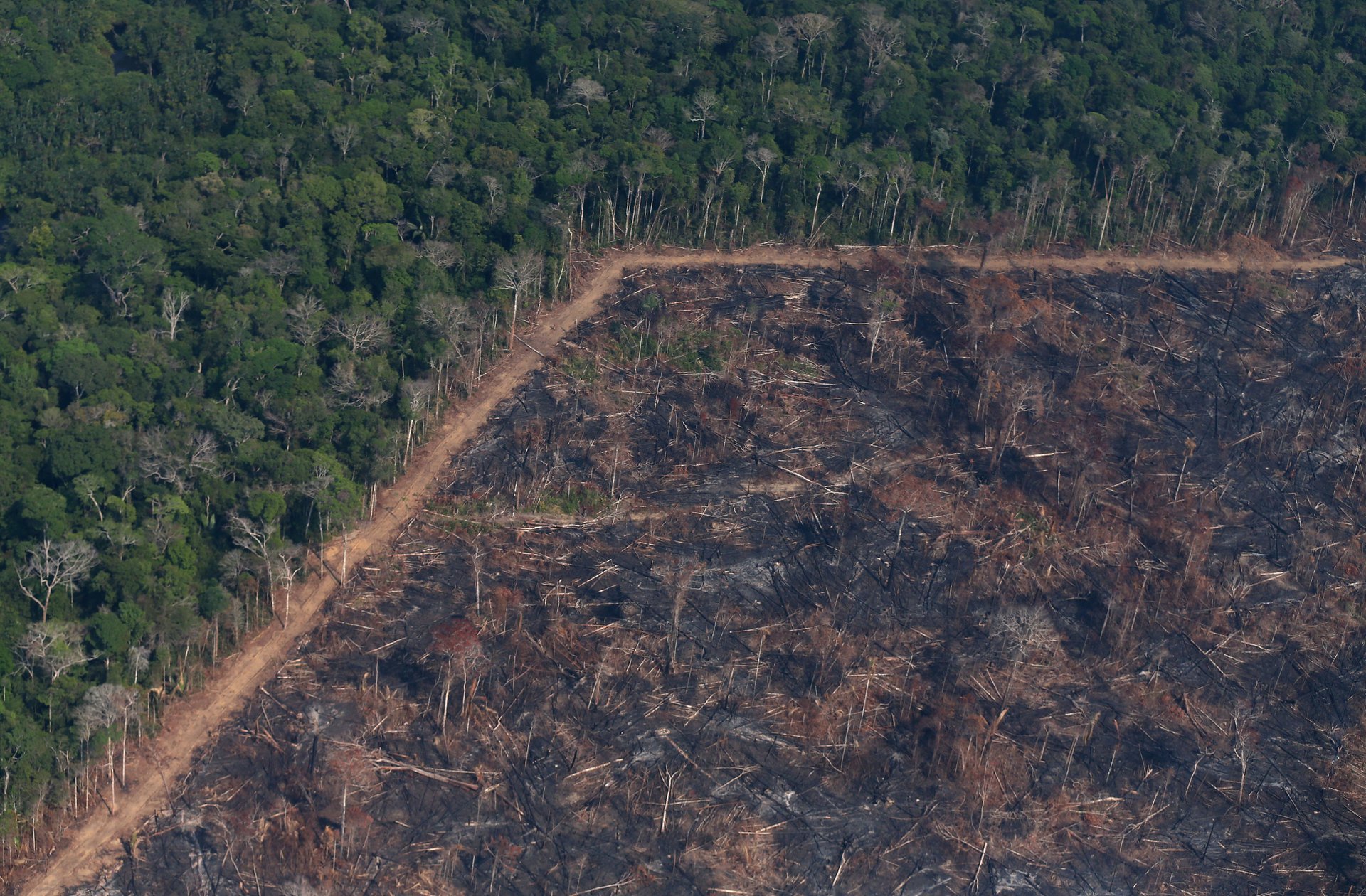
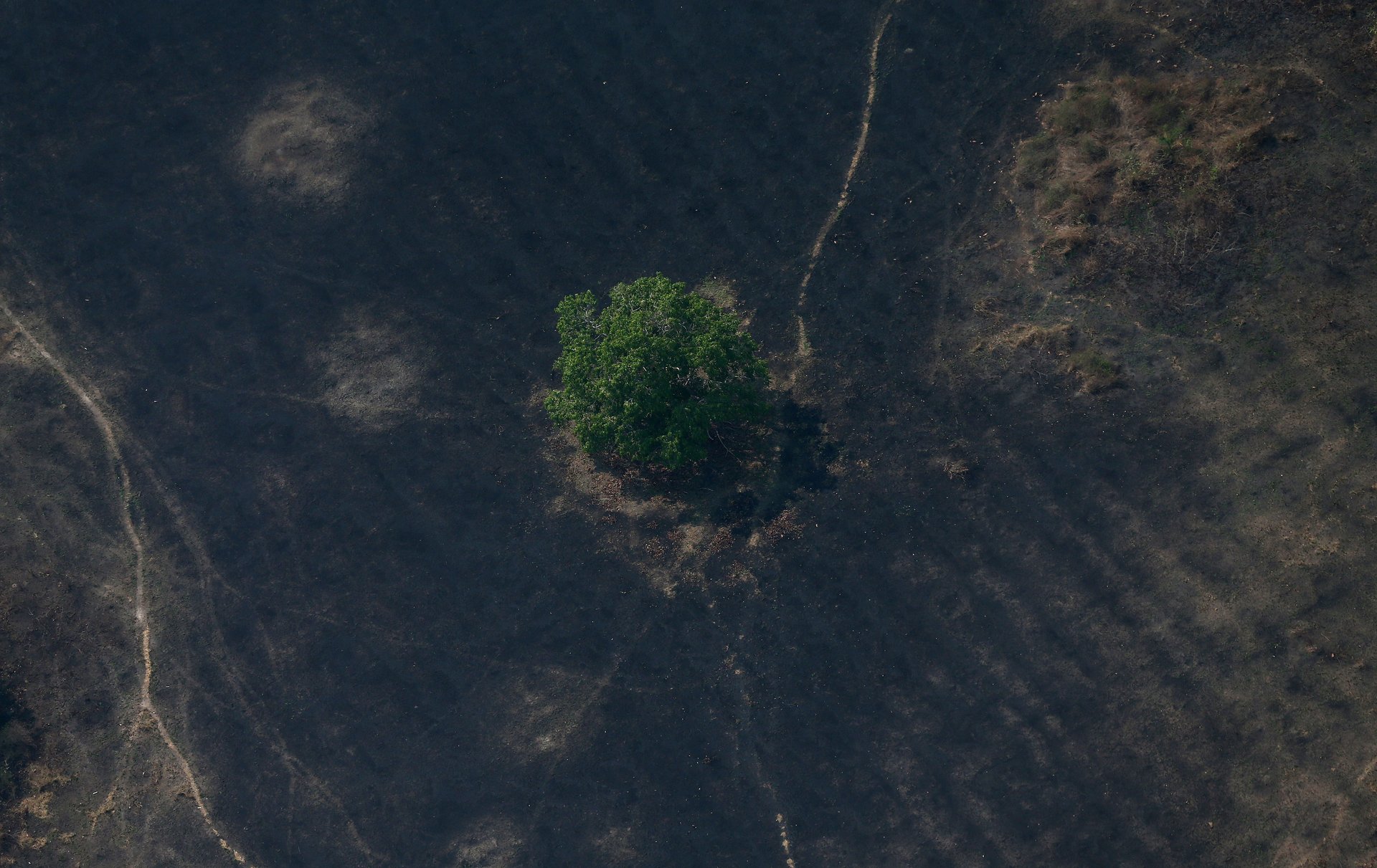
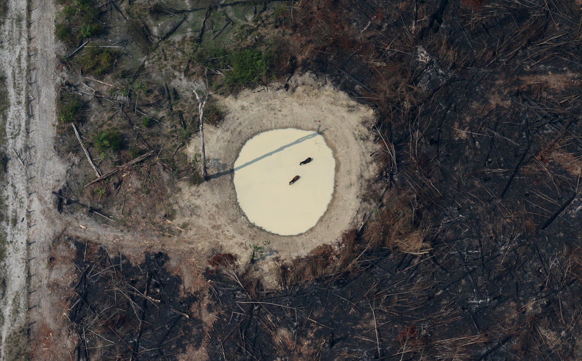
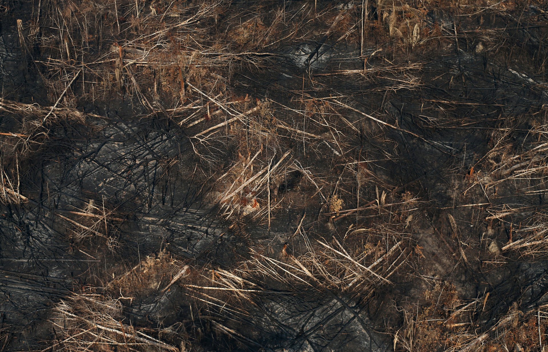
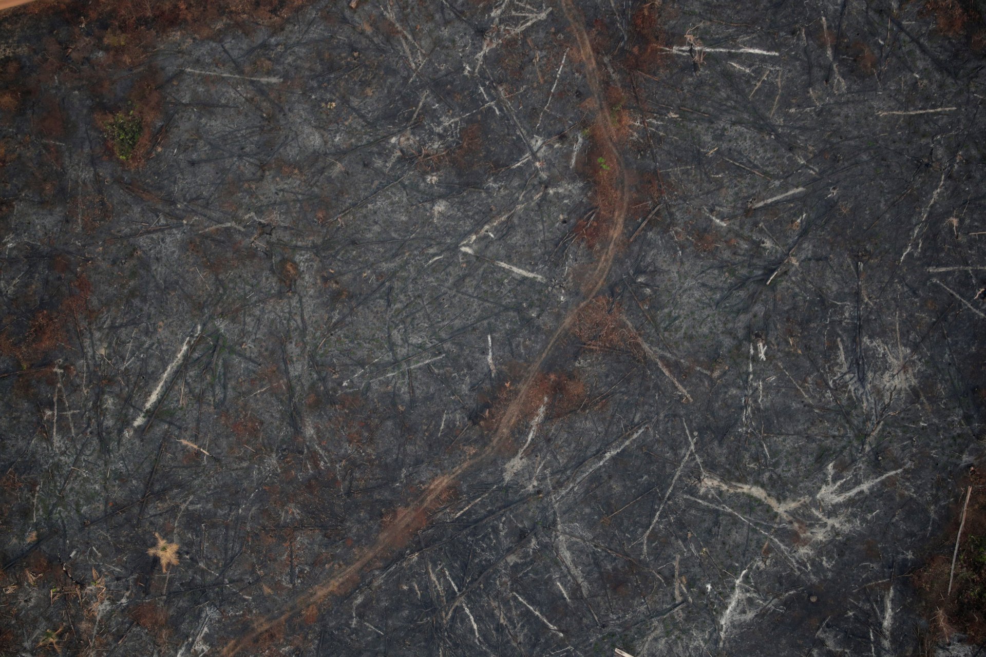
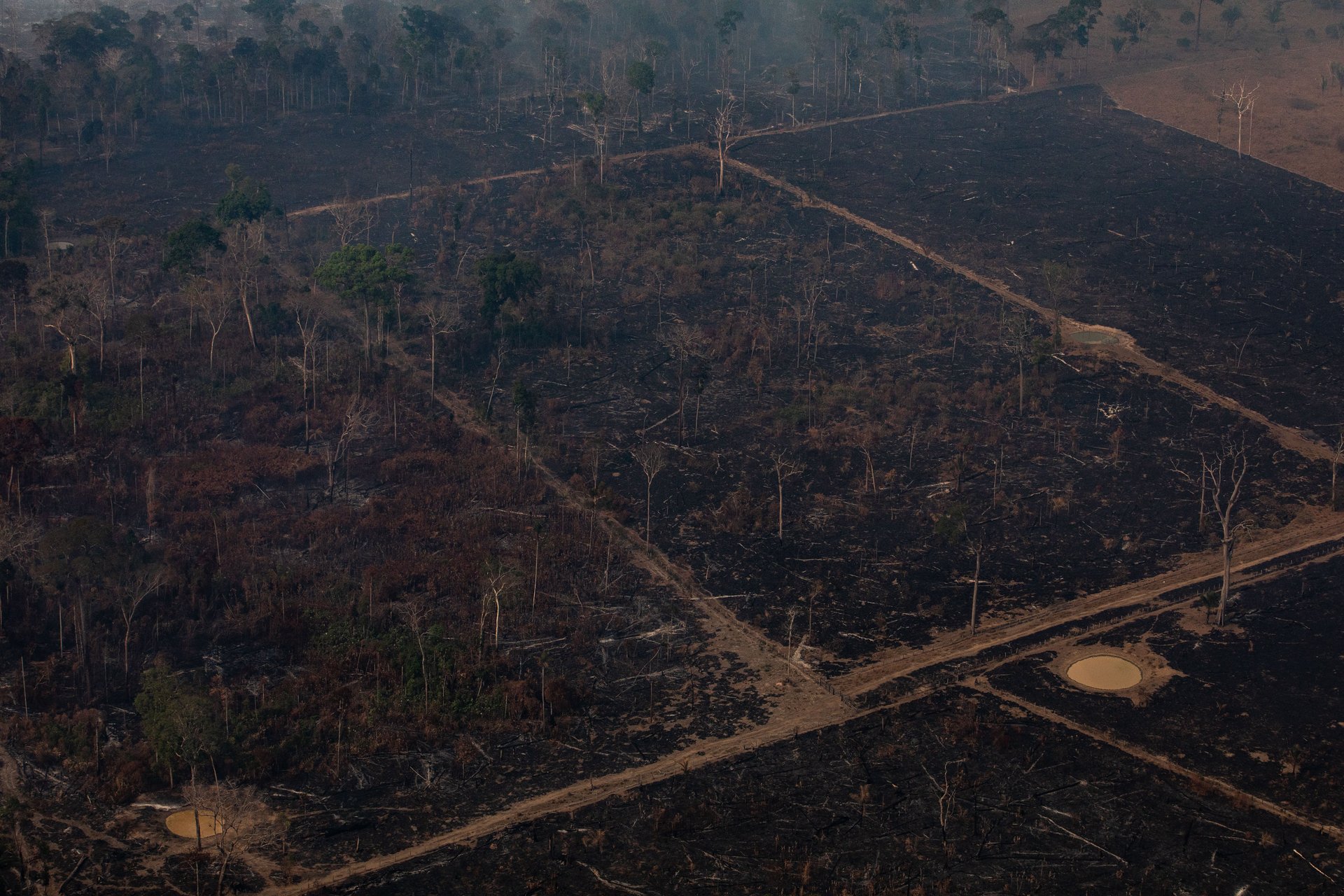
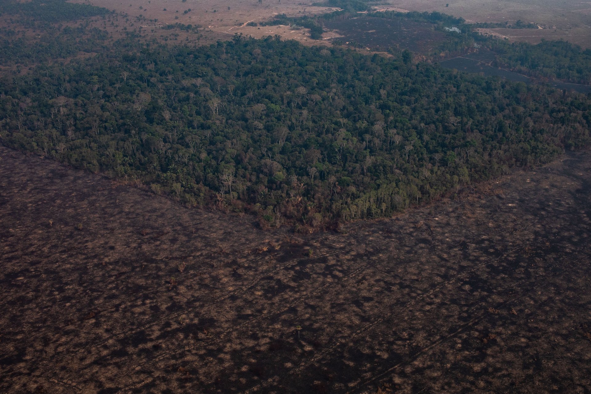
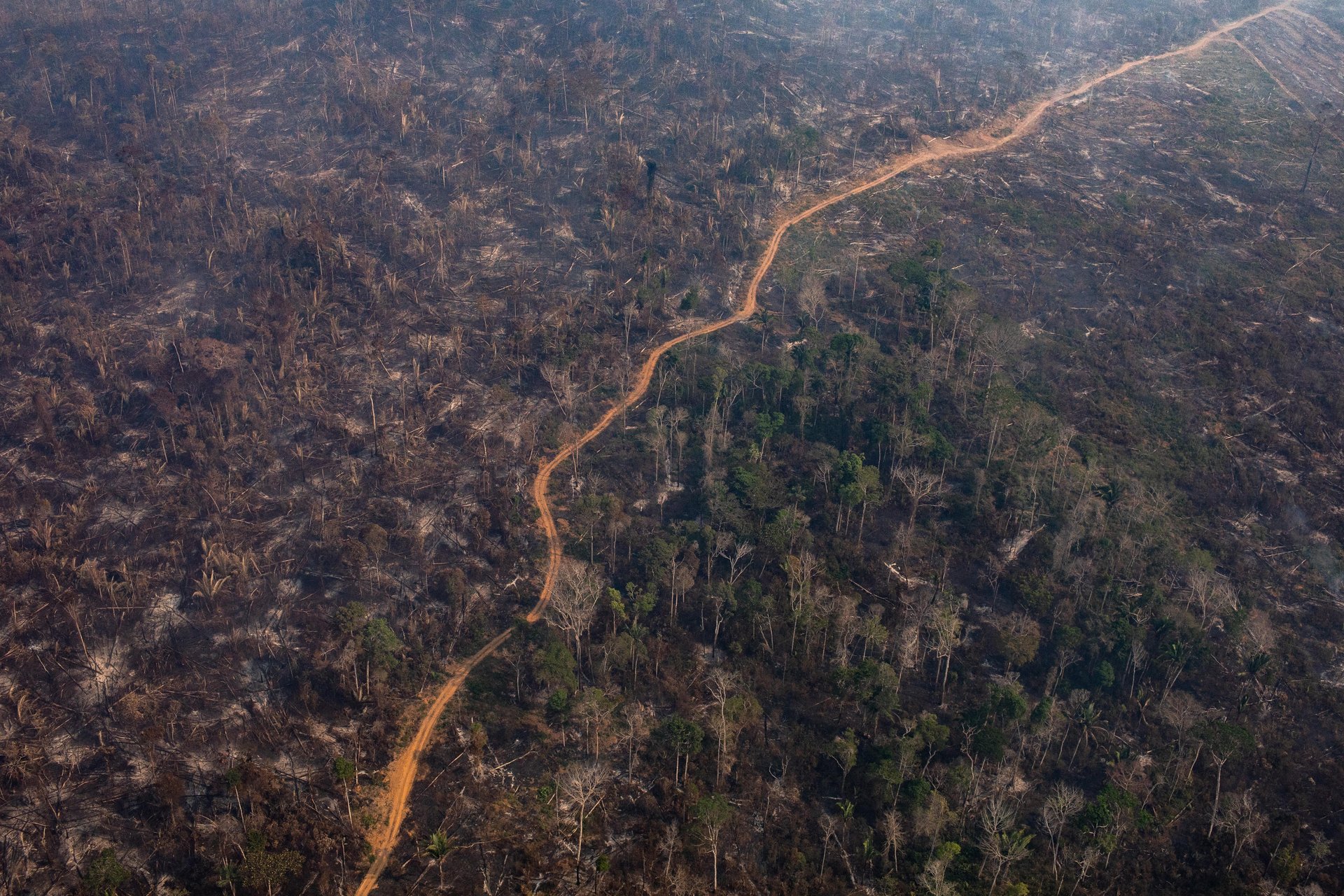
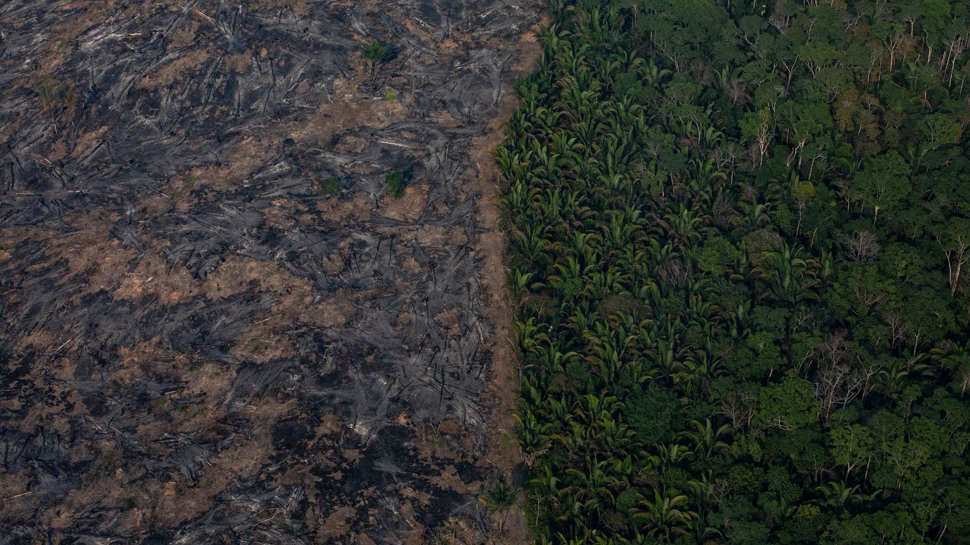
A dramatic uptick in fires engulfing Brazil’s Amazon rainforest—many likely set intentionally by cattle ranchers and loggers—has troubled the world. An essential part of the planet’s ability to regulate greenhouse gases, the Amazon fires have burned at an alarming rate. The total number—more than 70,000—is up 85% from the last year.

Satellite imagery has given a sense of the scale and location of the flames. Aerial images, which may only show a sliver of the amount of forest lost, showcase the stark contrast of what used to stand there, and what the essential rainforest is being replaced with.

Burnt areas of the Amazon rainforest, near Porto Velho, Rondonia state on Aug. 24.
Image: CARLOS FABAL/AFP/Getty Images
A burning tract of Amazon jungle as it is cleared by loggers and farmers near Porto Velho on Aug. 29.
Image: Reuters/Ricardo Moraes
Burning jungle near Porto Velho on Aug. 29.
Image: Reuters/Ricardo Moraes
More than 70,000 fires have been seen this year.
Image: Reuters/Ricardo Moraes
A tree spared in a fire is seen in Porto Velho on Aug 29.
Image: Reuters/Ricardo Moraes
A plot of Amazon jungle cleared by loggers and farmers near Porto Velho.
Image: Reuters/Ricardo Moraes
An closer view of a burned tract near Porto Velho.
Image: Reuters/Ricardo Moraes
A truck passes through deforested land in Boca do Acre on Aug. 24.
Image: Reuters/Bruno Kelly
Cleared land in Porto Velho.
Image: Reuters/Ueslei Marcelino
Roads are visible in an area of forest cleared by fire near near Porto Velho, Brazil.
Image: Victor Moriyama/Getty Images
A section of the rainforest in the Candeias do Jamari region near Porto Velho.
Image: Victor Moriyama/Getty Images
Amazon fires
Brazil’s National Institute of Space Research says the number of fires detected by satellite in the Amazon region this month is the highest since 2010.
Image: Victor Moriyama/Getty Images