Get ready for a doozy of a hurricane season
Several factors are contributing to what could be a record season for the ocean-borne storms

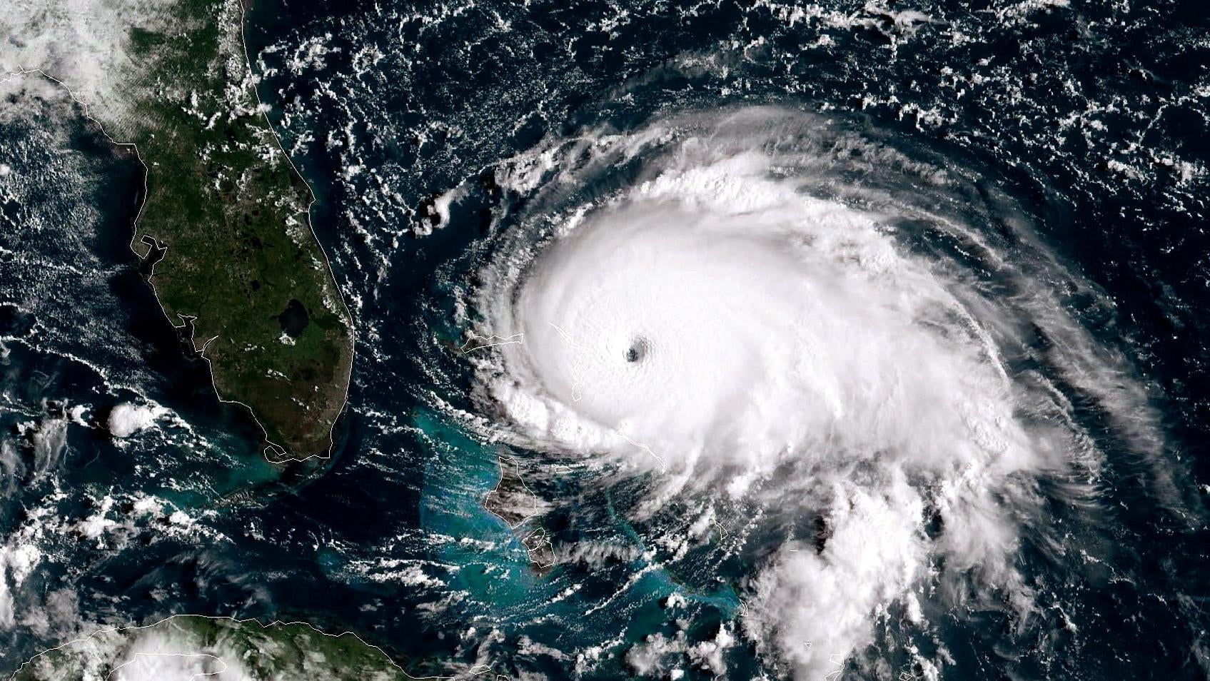
It’s that time of the year again — but warmer than average. Hurricane season is upon us and the National Weather Service is expecting “above-normal” hurricane activity in the Atlantic basin, which could portend a difficult six months for coastal states, the Caribbean, and eastern Central America.
Suggested Reading
Hurricane season runs from June 1 through November 30, and occurs when coastal Atlantic waters and the Gulf of Mexico warm up, prompting massive storm systems that can have devastating impacts on land.
Related Content
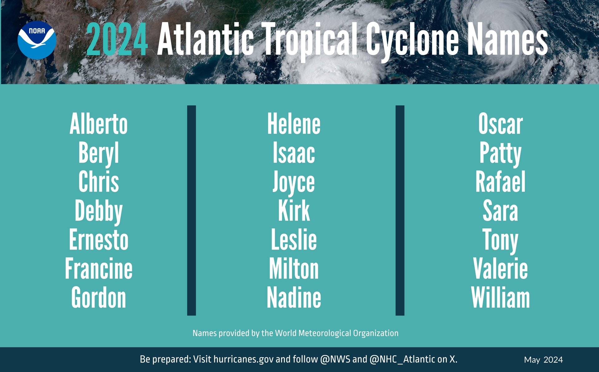
The National Oceanic and Atmospheric Administration is forecasting between 17 and 25 named storms. Storms get named when their wind speeds achieve 39 miles per hour (62.75 kilometers per hour) or higher. According to a NOAA release, 8 to 13 of those named storms are expected to become hurricanes, or storms with wind speeds of 74 mph or higher (119 kmph). Four to seven of the storms are anticipated to be major hurricanes, with winds greater than 111 mph (178.64 kmph). The forecaster’s confidence in those ranges is 70%.

Colorado State University’s seasonal hurricane forecasts predicts 23 named storms this year, with 11 hurricanes and 5 major hurricanes, amounting to 115 total named storm days and 45 hurricane days. Those numbers are up from the 1991 to 2020 averages: 14.4 named storms per year, 7.2 hurricanes, and 3.2 major hurricanes. In other words, it may be time to invest in some plywood, batteries, and bottled water.
“Severe weather and emergencies can happen at any moment, which is why individuals and communities need to be prepared today,” said Erik Hooks, FEMA’s deputy administrator, in the NOAA release. “Already, we are seeing storms move across the country that can bring additional hazards like tornadoes, flooding and hail. Taking a proactive approach to our increasingly challenging climate landscape today can make a difference in how people can recover tomorrow.”
NOAA attributed this above-average activity to near-record warm ocean temperatures in the Atlantic, as well as reduced trade winds and wind shear, and La Nina-like conditions in the Pacific.
Human activity has made matters worse. Climate change — driven by humans burning fossil fuels — warms the global ocean and melts ice, causing sea levels to rise. This could make storm surges worse, especially in low-lying areas. You can stay informed about active storms via NOAA’s National Hurricane Center and Central Pacific Hurricane Center portals.