Maps are now being created by communities leveraging cloud technology
This is the first article in a six-part BULLETIN series exploring the most intriguing artisans, makers, and craftspeople that Lincoln has had the pleasure of working with; view all of the stories here.


This is the first article in a six-part BULLETIN series exploring the most intriguing artisans, makers, and craftspeople that Lincoln has had the pleasure of working with; view all of the stories here.
Since man could paint on walls, there have been maps. Some maps were more scientific than others, but all were made by those with a yearning for exploration and discovery. The cost of making a map was usually the undertaking of kings and companies with expansive wealth. Longitudes and latitudes were plotted out little by little by a few individuals, while the map owners accumulated a great deal of power. This has all begun to change.
For the innovators at MapBox, the exploration and crafting of a map are done not by one person, but by a community. As technology makes it possible for anyone to contribute data inputs—the results of their own yearnings for exploration and discovery—maps can now be created by communities to serve their own needs. MapBox lets those explorers present rich maps in ways that reflect their interests, for the first time.
“This industry is radically changing,” says MapBox CEO Eric Gundersen. “It used to be only large corporations and governments that could afford to invest in data collection like this. But that’s all being turned upside down.”
Gundersen, an economist, started MapBox in 2011 after becoming frustrated with the tools available to create his own maps. If a company wanted to make its own customized map to be published on its website and deliver information to its community, the process was daunting, expensive and constricted by certain aesthetics. With the newly available Cloud technology, Gundersen was determined to tap into that information and develop tools to create maps of his own.
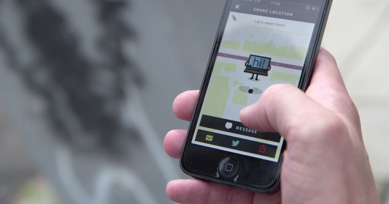
“We’re taking high-end digital cartography and bringing it to scale online,” says Gundersen. “Everything is going mobile. Mobile means location, and mobile means social. What’s the canvas you visualize that on? That’s a map.”

Gundersen and his team have created a platform for companies large and small to make customized maps for the web. The company provides the theme of data to be presented, and MapBox provides the tools and layers to make that data interactive—and beautiful. Imagine asking a question and having hundreds of “explorers” answer in real time—that’s the future that MapBox has begun to build.
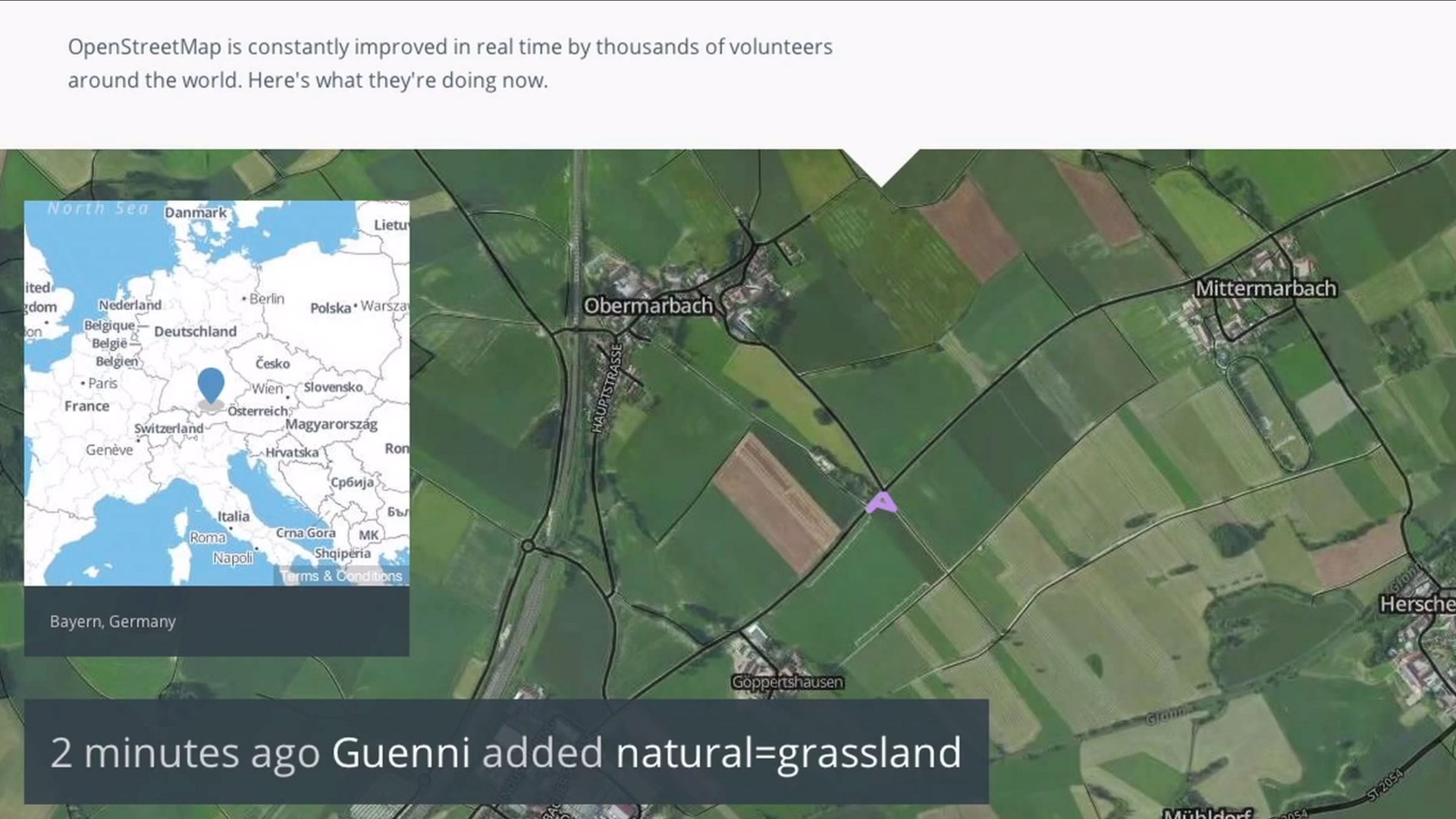
MapBox relies on the community to collect the data to create many of its maps. The MapBox team has created its entire “stack,” or collection of geographical information, using data submitted to the Cloud by designers, developers, and citizens from around the world.
“Here we are, a little over 30 people in a garage in D.C., and we’ve been able to go out and build this entire Cloud mapping stack. The way we’ve been able to do that is how we use open-source software and how we work with open-data communities,” says Gundersen.
Why do we need customized maps when they all show the same earth we walk on? Different maps serve different needs, and MapBox provides a platform to explore what you never thought you needed to navigate the world. Charlie Loyd, satellite image specialist for MapBox and passionate digital cartographer, is one of the people helping companies make their maps look the way that will help them serve their purpose. He believes maps tap into everything a person cares about.
“We know that a map of a city is, in a very literal way, a picture of its space. But it contains all these human experiences,” says Lloyd. “It’s about making tools for other people to make the maps that they want. When people make maps about community issues, about environment, or about travel, people will use political maps, which is often inappropriate. If you’re making a map about habitat, you should show a satellite map. This is a photograph that shows things that you care about.
“We know that the world is really pretty when we go hiking or see a photo of a waterfall,” says Lloyd. “But it’s easy to forget that the whole world together—the largest patterns of its ecosystems and human land use and weather and so on—those are also beautiful. I think it’s really nice to remind people just how gorgeous our home planet is.”

This article was written by Lincoln and not by the Quartz editorial staff.