What the Russian invasion of Ukraine looks like from space
There have never been more privately owned sensors in space pointed at the planet, and that means that Russia’s invasion of Ukraine has received unusual scrutiny from orbit. Companies like Maxar, Capella Space, and Planet Labs have been sharing high-resolution data of the unfolding conflict, once reserved for government officials, with independent analysts and newsrooms.

There have never been more privately owned sensors in space pointed at the planet, and that means that Russia’s invasion of Ukraine has received unusual scrutiny from orbit. Companies like Maxar, Capella Space, and Planet Labs have been sharing high-resolution data of the unfolding conflict, once reserved for government officials, with independent analysts and newsrooms.
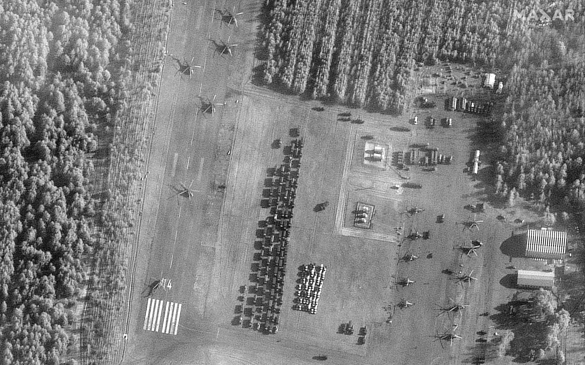
Satellites watched Russia’s portentous build-up
In the weeks ahead of the invasion, the US repeatedly announced that Vladimir Putin was building up Russian forces around Ukraine in a posture that only made sense for a pre-planned invasion. But anyone doubting the American government could turn to private companies documenting the same activity, a move that helped president Joe Biden win the initial information war and unite the West against the attack.
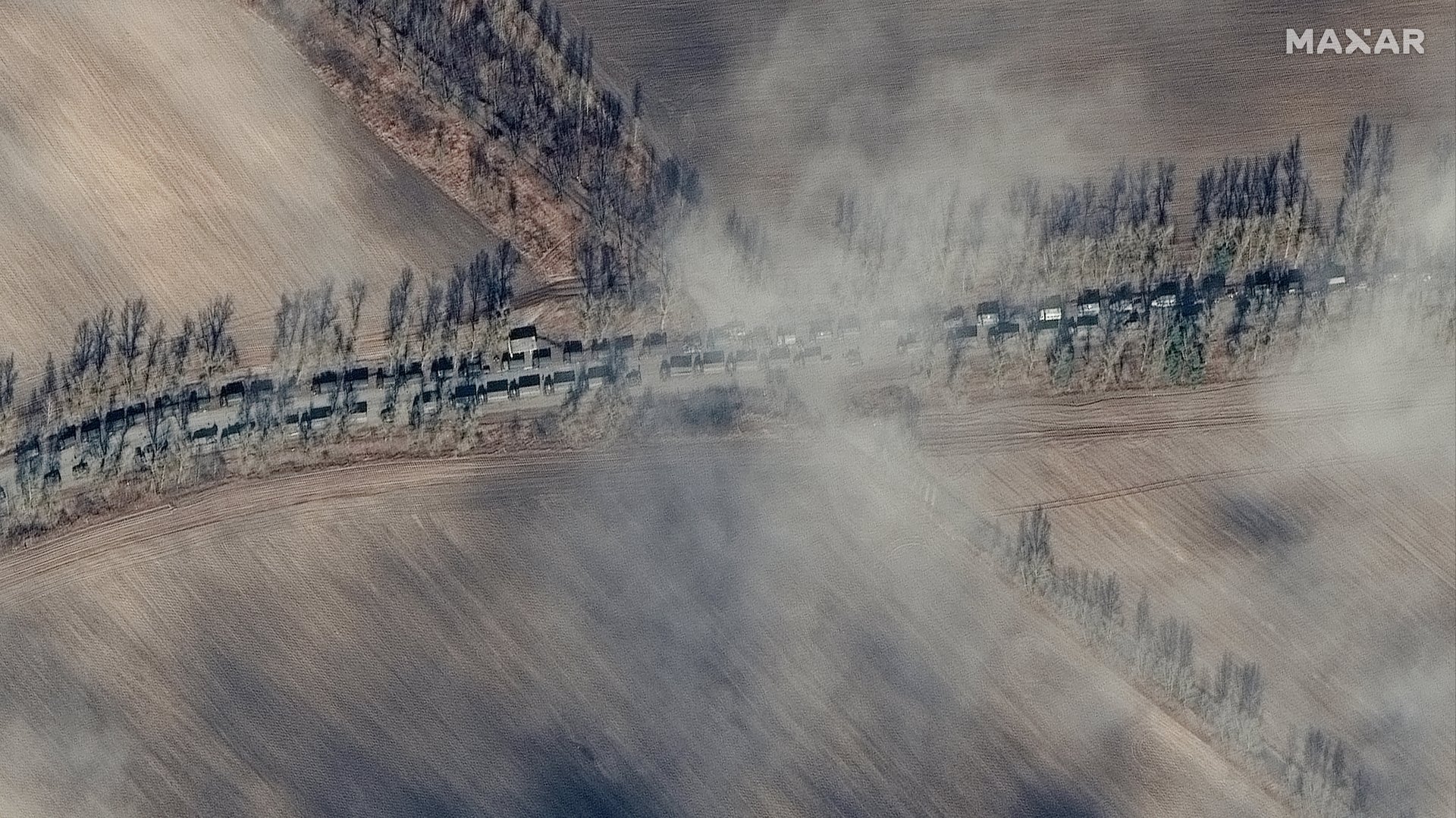
As the conflict has played out since Russian forces crossed the border on Feb. 24, satellite imagery has allowed the public to track the pace of the invasion (like the convoy shown in this article’s featured image).
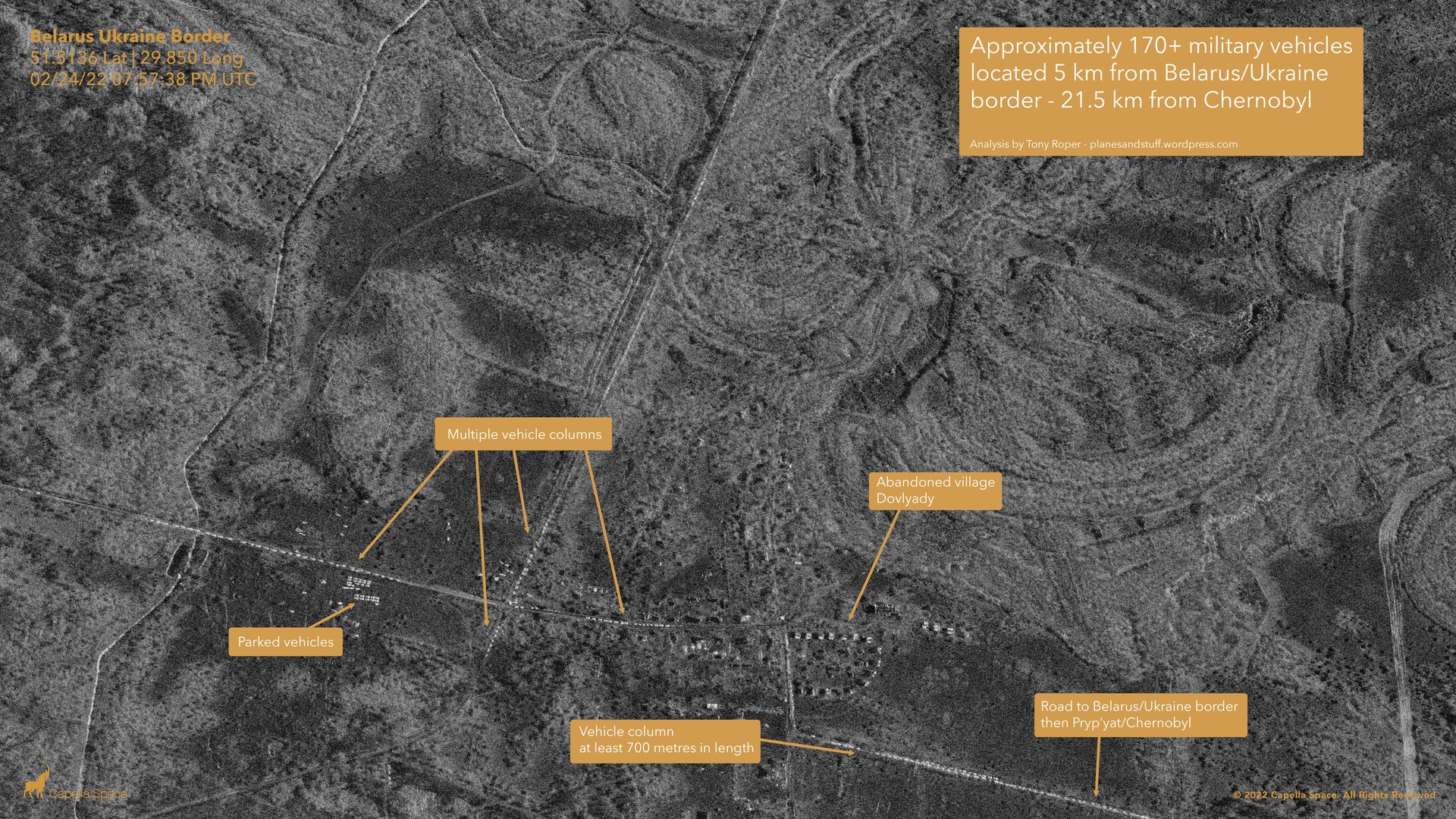
One new capability for this conflict is more access to synthetic aperture radar (SAR) data collected in space, thanks to companies launching new satellites in recent years. The radar data allow the satellites to “see” through clouds and in the dark.
The cat-and-mouse of invader and invaded
What kind of signs forecast the attack? Satellite watchers noticed that a temporary bridge had been built in Belarus, near the Ukrainian border, that would allow Russian forces to cross the Pripyat river before entering Ukraine.
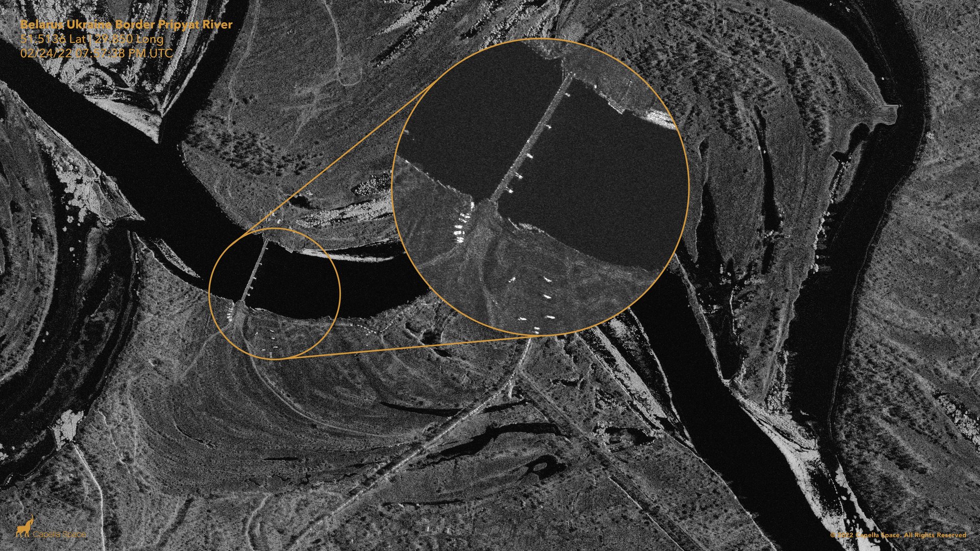
Actions by Ukraine show why Russian planners might have worried about accessing river crossings. When war broke out, a bridge over the Dnieper river at the Ukraine-Belarus border was sabotaged:
The damage done by heavy weaponry
Publicly available satellite imagery isn’t precise enough to show us the human cost of war, but it does depict the effects of bombardments and explosions caused by fighting.
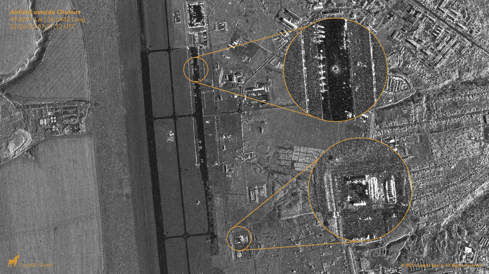
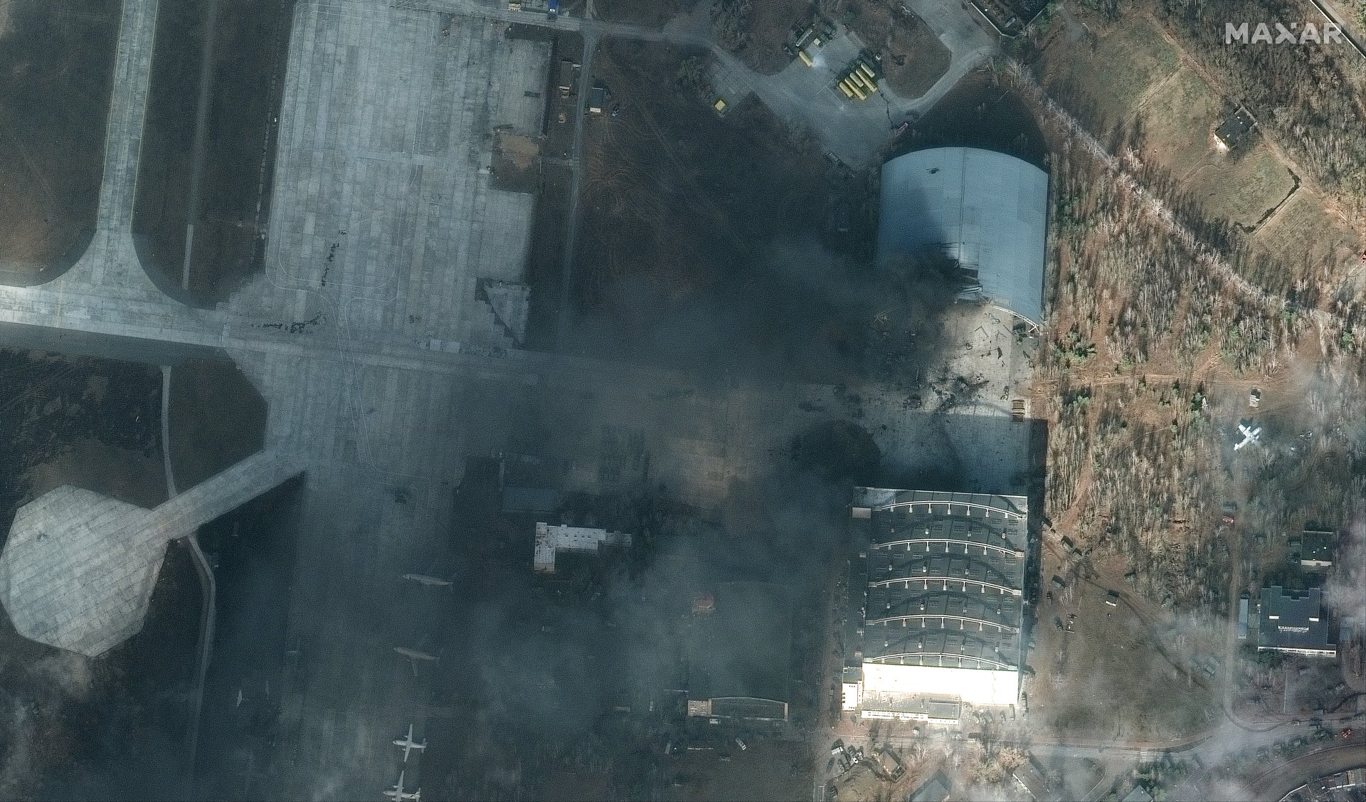
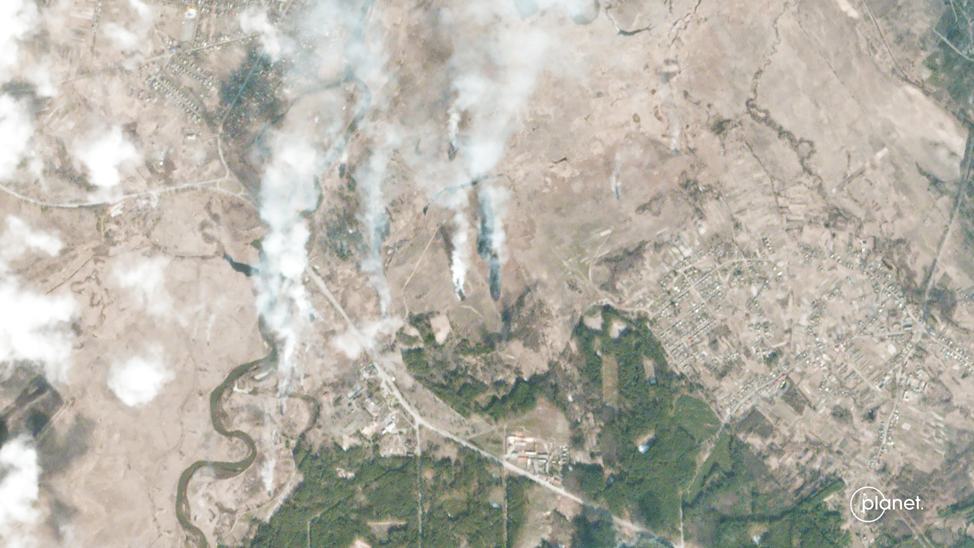
The coming humanitarian disaster
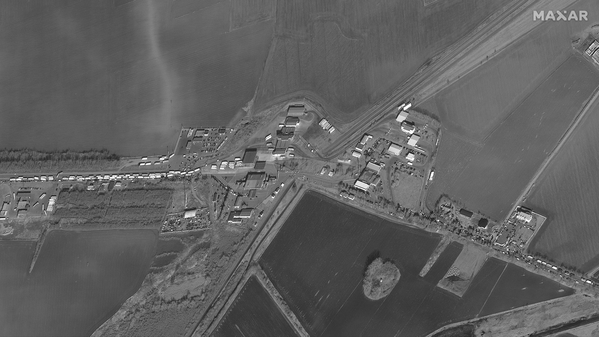
This war is only a few days old, and most experts predict that it’s only going to get worse as Russia brings more of its armaments to bear on population centers. The inevitable result is already in motion: Hundreds of thousands of refugees fleeing to neighbors like Poland, Romania, Hungary, and Slovakia. The satellite image below, from Feb. 25, shows the front of a traffic jam on the Ukrainian side (left) of a border crossing with Romania, estimated to be four miles long.
