Stunning images of deforestation (and other consequences of globalization) via Google Earth
Visuals are hard to shake. That’s why, on Nov. 20, the Danish Architecture Centre (DAC) will be addressing the issues of deforestation and other earthly destruction in an exhibition called Mind the Earth in Copenhagen, using images shot by none other than Google Earth.


Visuals are hard to shake. That’s why, on Nov. 20, the Danish Architecture Centre (DAC) will be addressing the issues of deforestation and other earthly destruction in an exhibition called Mind the Earth in Copenhagen, using images shot by none other than Google Earth.
The exhibition first started as an individual project by urban planner Kasper Brejnholt Bak, who started collecting Google Earth images of beautiful places he stumbled upon several years ago, and then began zooming in on themes of globalization, urbanization, and climate change. He whittled 1000 images down to 80 for the DAC show.
Below are some of the exhibit’s satellite images that capture these themes:
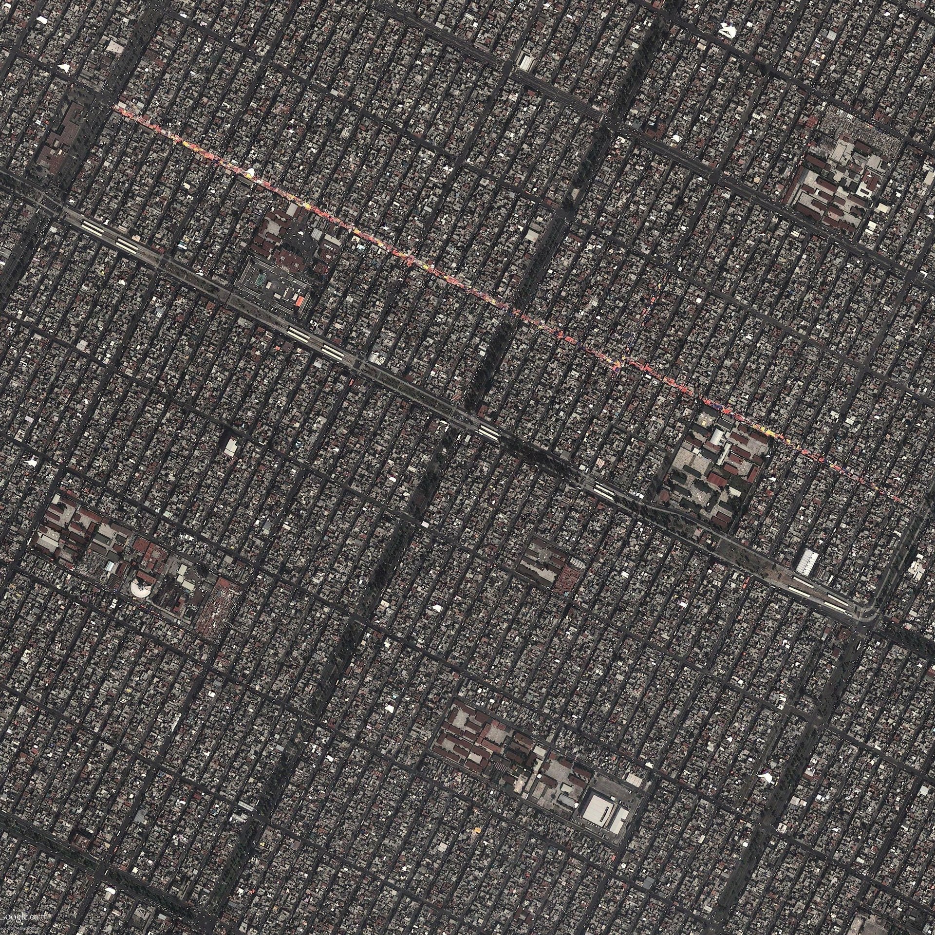
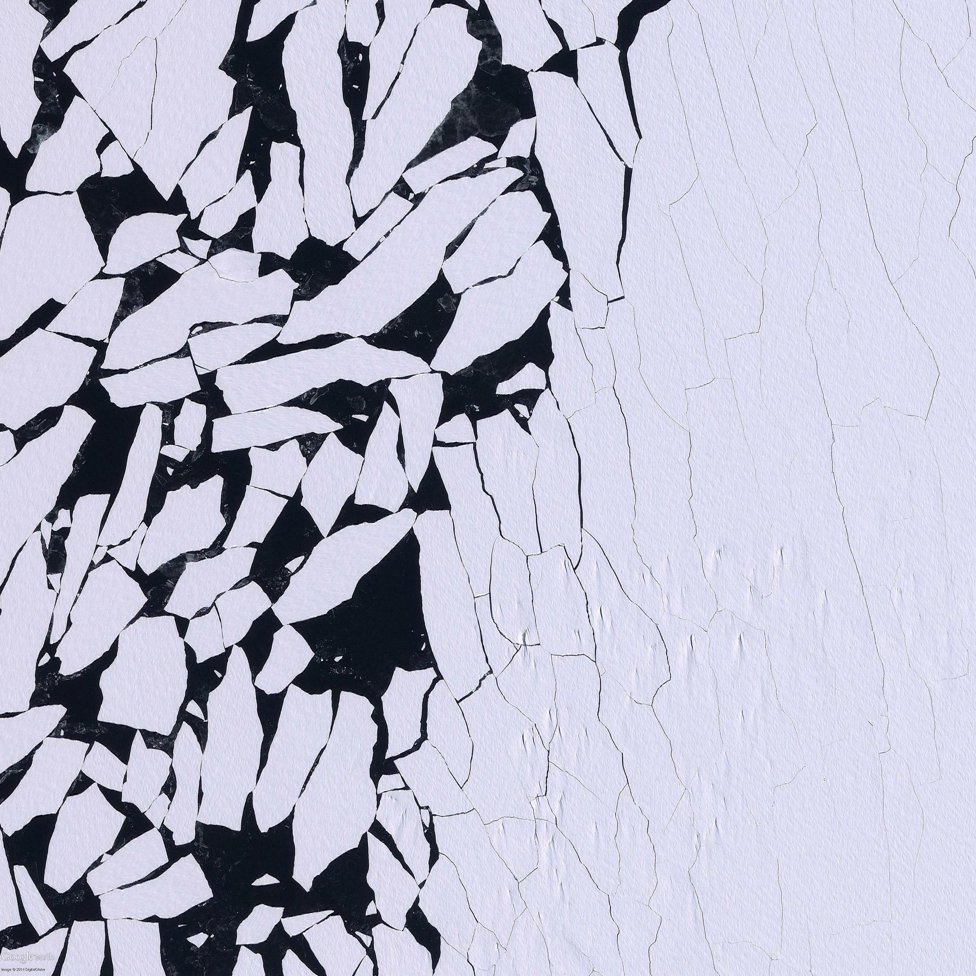
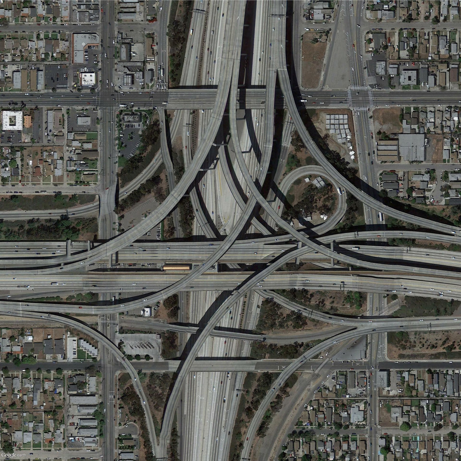
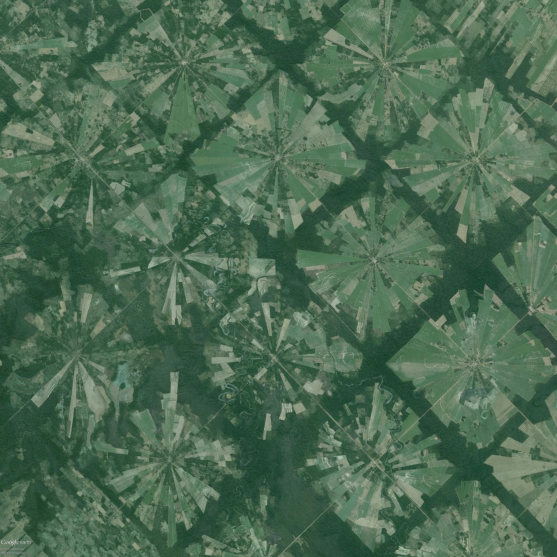
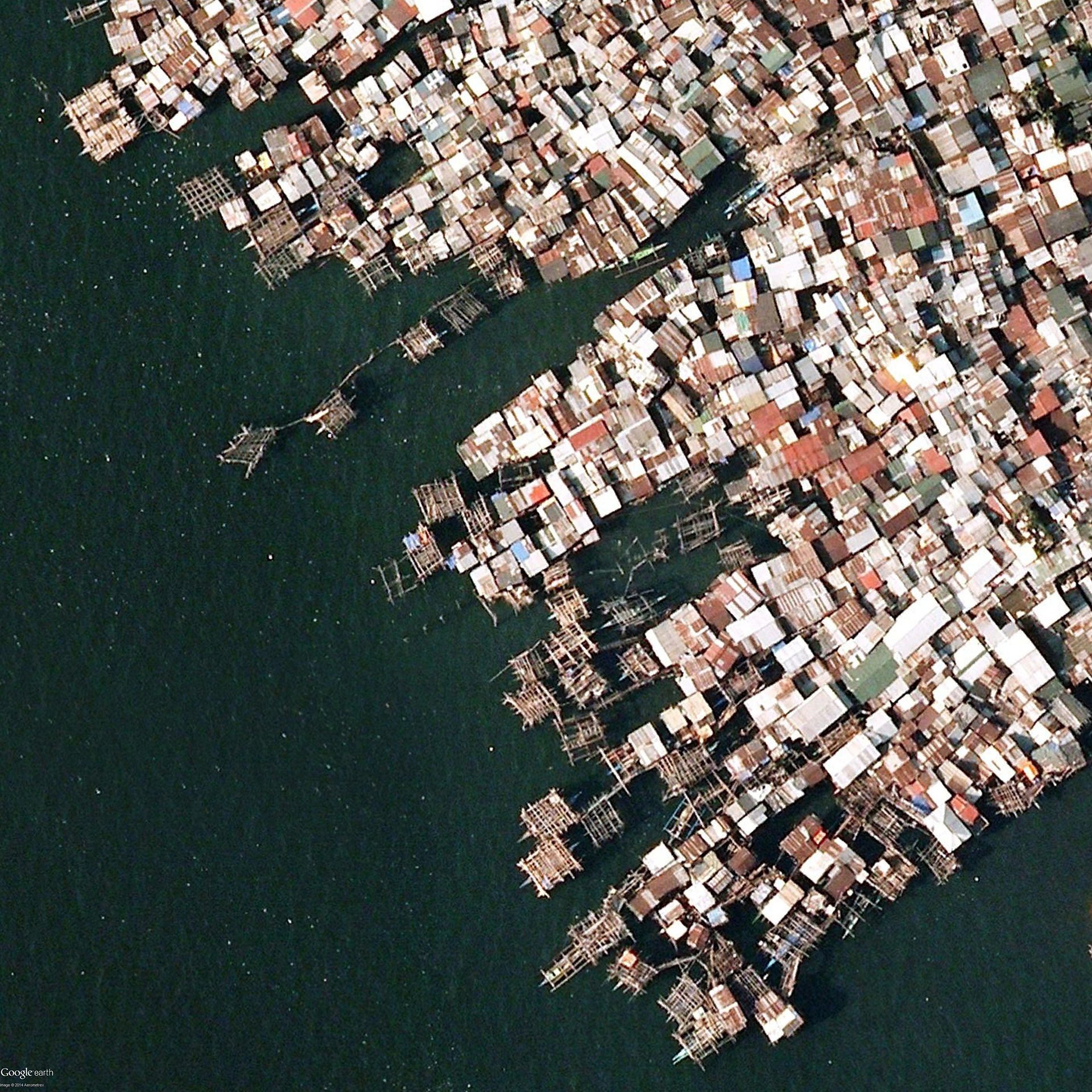
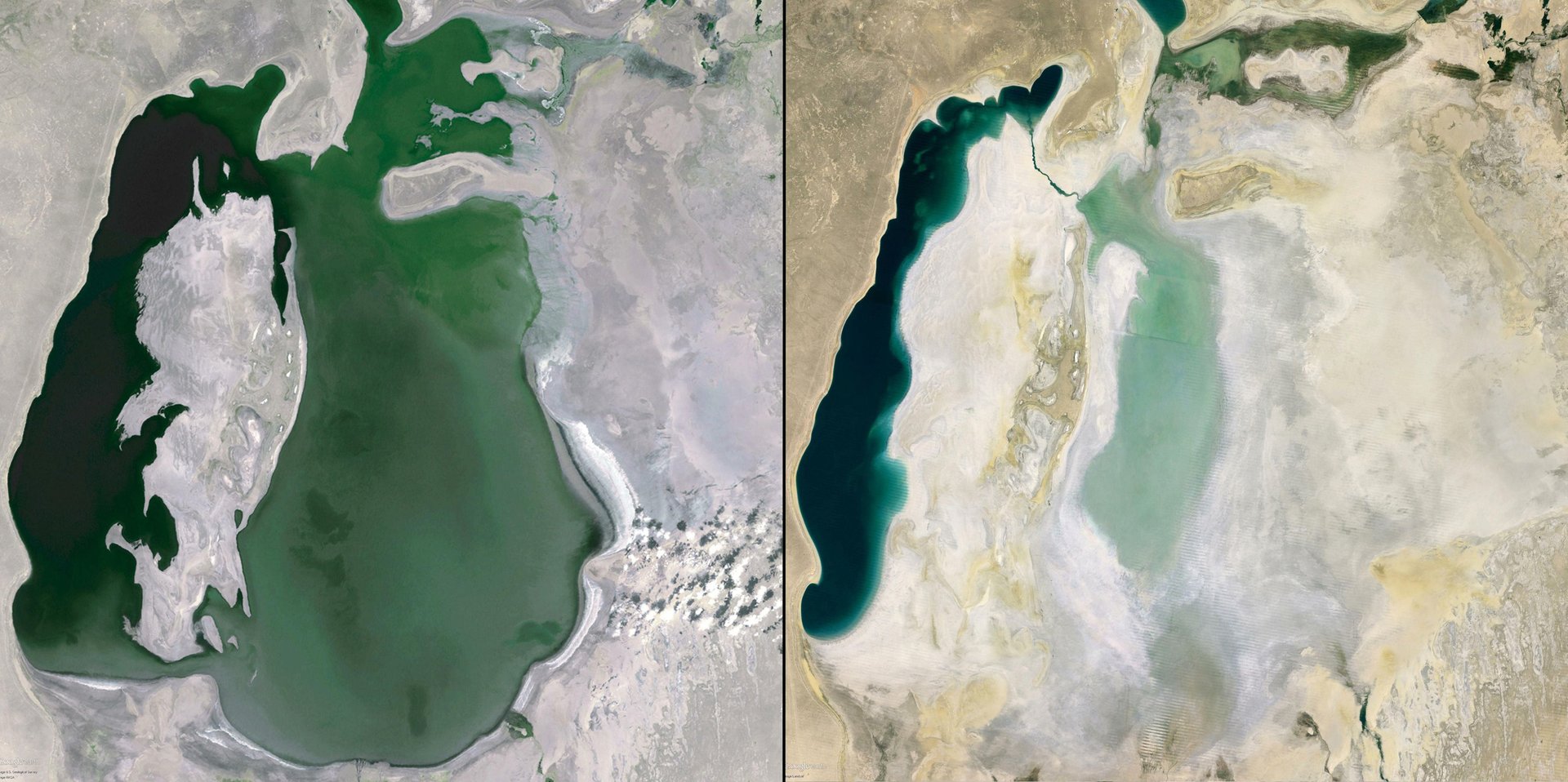
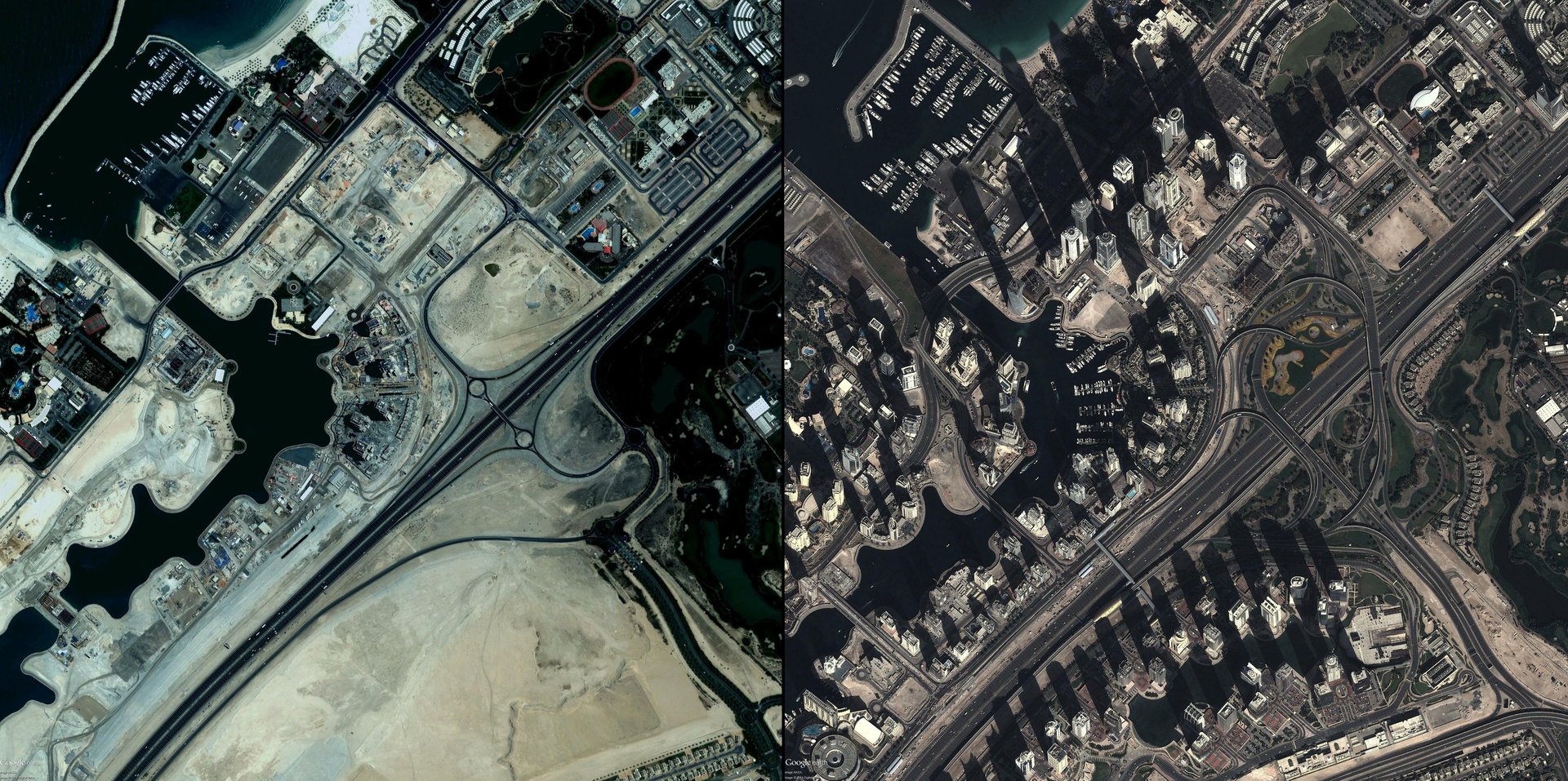
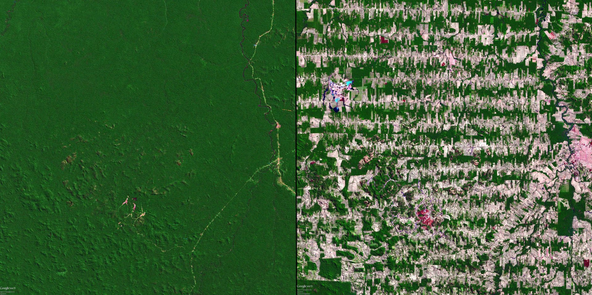
The images portray both the beauty and the claustrophobia of the earth’s finite resources, Bak told Quartz. “It gives me the thought that we need to think more carefully about the resources that [we] have—we only have one inhabitable planet,” Bak said. It’s yet another reminder of the need for careful planning by governments, urban planners, transportation authorities, and manufacturers around the world, he said.