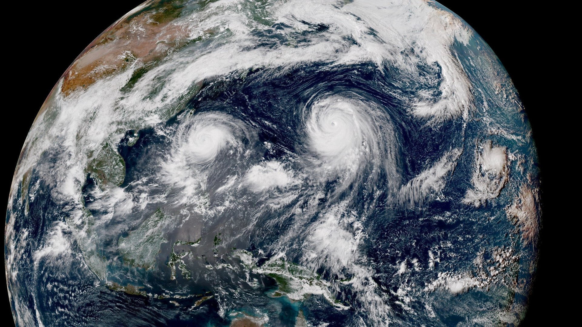
A new Japanese satellite has captured twin typhoons swirling simultaneously right now in the Pacific Ocean—Goni and Astani, each headed in the direction of Japan, though widely separated parts of it. Such visuals are rare.
The Himawari-8 geostationary meteorological satellite began operations last month, having been launched (pdf) in October 2014 from Japan’s Tanegashima Space Center. Made by Mitsubishi Electric, it hovers 22,000 miles above the Pacific, taking images every 10 minutes, compared with once every three hours for US weather satellites (at half the resolution).
The animated image below, from the pictures taken by the satellite, might take a moment to load. On the left is Goni, on the right Atsani.
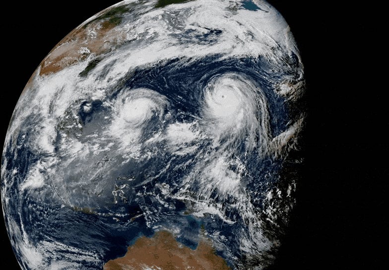
You can see what the storms look like at different times here.
Goni is the less intense of the two typhoons, but it poses the most immediate danger to the nations of east Asia. Currently it’s near the northern Philippines. Next it’s expected to turn right and graze Taiwan, causing heavy rainfall there, before affecting parts of southern Japan. Atsani should not have a major impact on significant land masses.