Google Maps and Aclima just committed to mapping air pollution in California
You can’t manage what you can’t measure.


You can’t manage what you can’t measure.
This adage coined by Peter Drucker is even more relevant today than it was last century. In the absence of data and systems to manage our planet’s assets and resources, our species faces an uncertain future filled with volatility and unanticipated consequences.
Look at our cities. Elementary schools sit alongside major highways or idling trucks yards. Massive buildings are densely packed together creating heat island effects so powerful that they change the weather. Crucial design decisions that affect our health and our climate are often made in the absence of data.
At the same time, we’re gaining a new class of tools to overcome this gap. Thanks to distributed sensor technology, scientists will soon be able to fill in air quality models with volumes of real-time data, telling us which streets are healthy or polluted. The earth has been sending us signals, but until now, we haven’t had the ability to translate nature’s messages into zeros and ones. Sensor-based technology is a powerful new tool to measure the health of our environments and help us decipher these signals.
With mounting evidence, it is increasingly obvious that our planet’s health directly impacts our quality of life. A recent report co-authored by The Rockefeller Foundation and The Lancet found that while we live longer and better lives, we have pushed the boundaries of what our planet can provide, threatening the advancement and longevity of our species.
The food we eat, the water we drink and the air we breathe depend on the health of the environment. With better data, decisions that affect these life-sustaining resources come into clear focus. We walk through our modern lives unconscious of our planetary connection. We often fail to realize that the same emissions changing our climate and polluting our skylines also end up in our bodies. By 2050, urban air pollution is on track to be the biggest environmental cause of premature death.
How can we redefine our relationship with the planet and better manage the finite resources that determine our fate as a human species? We need data and lots of it. Hyperlocal, high-quality data that helps us see our cities and communities live and breathe can transform the way we manage our environments. By using sensor-based technology to create real-time feedback loops, we can take a true pulse on the planet’s health, and ultimately, our own.
Imagine if you could see your city with new eyes that make the health of our environment visible. How could we use widespread air pollution sensing technology to zero in on hotspots, as they occur? Or use the insights that emerge from these billions of data points to understand the systemic relationships between our transportation policies and asthma? Applied across our urban landscapes, these new measurement tools could map unseen connections and create context for decision making to build more resilient, healthy cities. Until we’re able to see our cities as living, breathing systems, we will continue to make blind decisions that impact our health and our future.
This week in New York and leading up to COP21 in Paris this December, world leaders and businesses will pledge to reduce greenhouse gas emissions. The effort focuses on preventing global temperatures from rising more than 2 degrees Celsius (35.6 degrees Fahrenheit) to avoid environmental catastrophes like super droughts and extreme sea level rise. As we galvanize around a plan of action, we need to deploy technologies that measure our progress and maximize our impact.
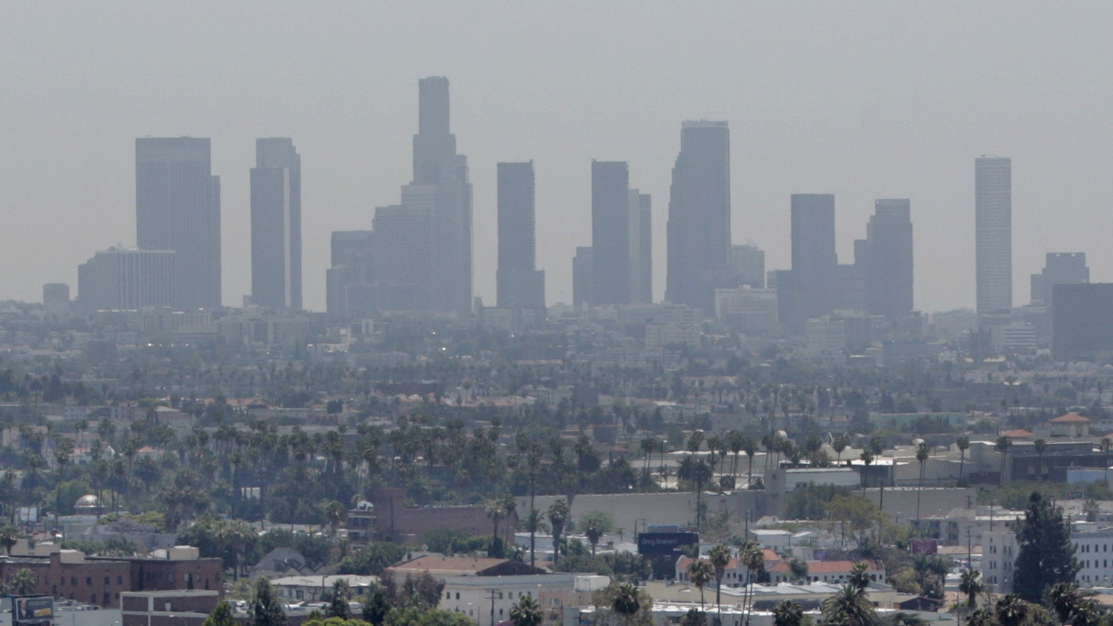
Today Aclima and Google Maps move one step closer with our announcement of a commitment that we’re making through the Clinton Global Initiative. Aclima and Google Maps will map pollution in Los Angeles, San Francisco and other California cities with Aclima-equipped Google Street View cars. We’ll share the data with scientists, air quality experts, public health professionals and—through Google Maps—ultimately, the public. We believe this information will transform our understanding of human and planetary health and enable decision makers and citizens alike to play an active role in improving it. We see a day when hyper-local air quality will be as accessible as the weather.
To be sure, simply mapping our cities will not solve the air pollution crisis, but it will give us the tools we need to understand and then to act. Policymakers and civic leaders will be armed with an abundance of data to test and validate the changes we need to make as developed countries and global citizens. Technological tools like large-scale sensor networks have the potential to give us new eyes to seek solutions, but action will be the key to realizing the promise of clearer skies and a healthier future.
California offers a robust testing ground for exploring the benefits of hyper-local air quality data. The challenges faced by California’s cities—some of which rank the worst in the nation for particulate pollution—are shared by urban centers around the world. Beginning with this commitment, we can start to turn billions of uninformed decisions into billions of informed choices, and usher in a new era of data-driven innovation for the planet.