Photos: The quirky, haunting, and stunning sights along Scotland’s answer to Route 66
The Scottish Highlands is one of the most sparsely populated regions in the world; at 9.1 people per sq km (23.6 per sq mile), it’s less dense than all but a handful of US states (pdf), and all but the northernmost parts of Europe. Now the tourist board responsible for the northern part of the Highlands is promoting the area’s get-away-from-it-all charm by launching what’s being dubbed Scotland’s answer to America’s historical Route 66: The “North Coast 500”.

The Scottish Highlands is one of the most sparsely populated regions in the world; at 9.1 people per sq km (23.6 per sq mile), it’s less dense than all but a handful of US states (pdf), and all but the northernmost parts of Europe. Now the tourist board responsible for the northern part of the Highlands is promoting the area’s get-away-from-it-all charm by launching what’s being dubbed Scotland’s answer to America’s historical Route 66: The “North Coast 500”.
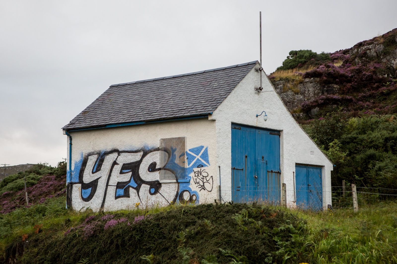
The move feels like it’s in line with Scotland’s recent bid for independence. The Highlands have always been a draw for tourists, but a large share of them are other Scots (pdf). Getting more outsiders to visit would help the region’s delicate economy in any future bid for secession.
Starting and ending at Inverness Castle on the North East coast, the NC500 encircles the four counties of the North Highlands on 516 miles (830 km) of existing roads. “It’s not new, but it is new,” explains Quintin Stevens, a board member of North Highland Tourism. “People before would be in Inverness and say, alright we’ll go to the west coast, or we’ll go to John O’Groats, but they would never have said, let’s do the whole coast.”
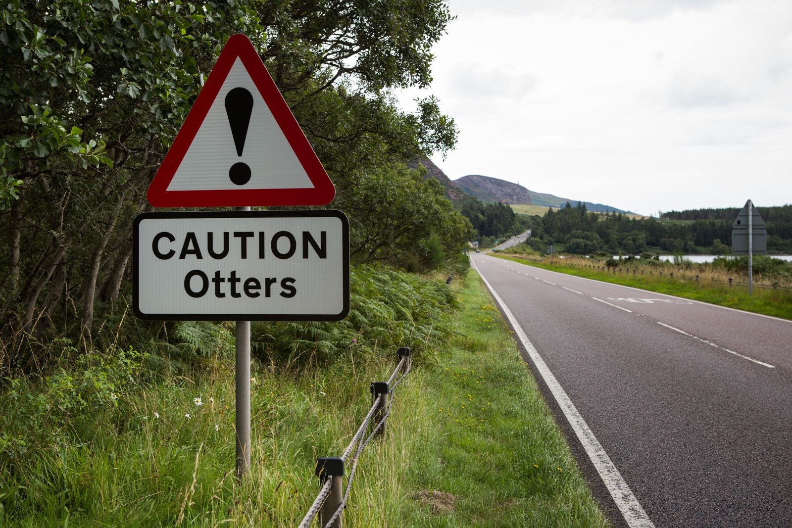
Driving the route, it doesn’t take long to understand why National Geographic Traveller just just listed the NC500 on its list of 101 things to see and do in the world.
The North Highlands account for one-fifth of Scotland’s area but only 3% of its population. And half of those people are within the Greater Inverness area. Once you leave Inverness, you are truly on your own.
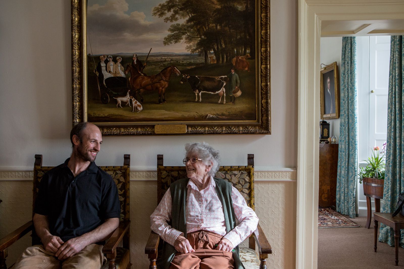
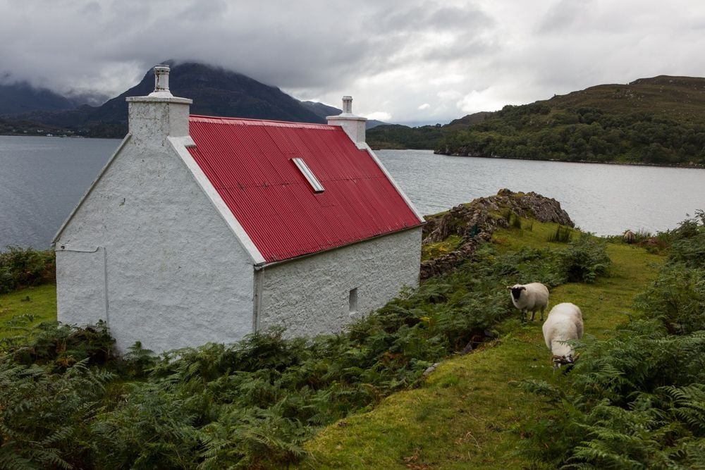
All along the route are relics from the past, from abandoned estates to ruined castles to the ancestral homes of different Scottish clans. At Foulis Castle, just north of Inverness, you can stay the night atop the remains of a 15th-century gun-port tower. The next morning you could be treated to a guided tour, of both the “old dungeon” and the new on-site biomass facility, by none other than the next in line to the thousand-year-old Clan Munro.
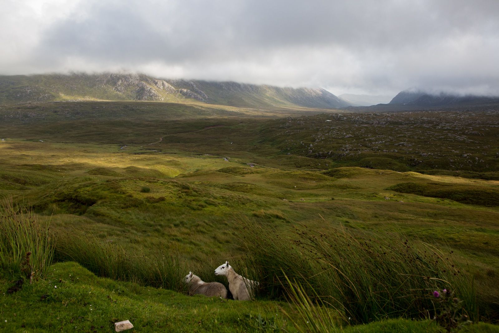
Further up the east coast, you’re flanked on one side by a stark shoreline that blends into the North Sea—whose falling oil revenues are one of the big worries for would-be Scottish secessionists—and on the other by the purple patches of heather moors. The Highlands dominate Scottish agriculture, but just 6% of the land is used for crops and fallow; the spongy bogs, saturated soil and harsh rocks make most of it unsuitable for much other than rough grazing.
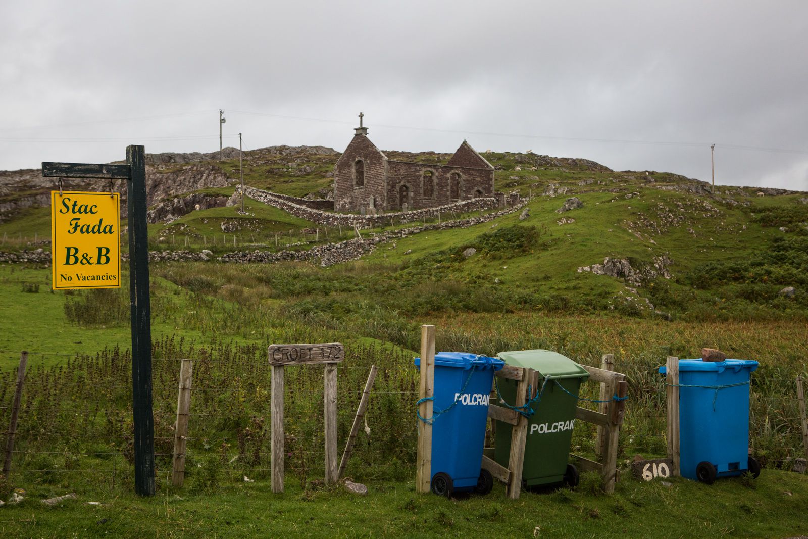
Yet despite the bleakness of it all, the peculiarly Highland phenomenon of crofting (small-scale farming), which evolved after the turbulent “highland clearances” of the 18th and 19th centuries, is still alive and well. Some 62% of agricultural holdings in the Highlands are smaller than 10 hectares (25 acres), and nearly 18,000 crofts can be found today, mainly in the Highlands and the islands.
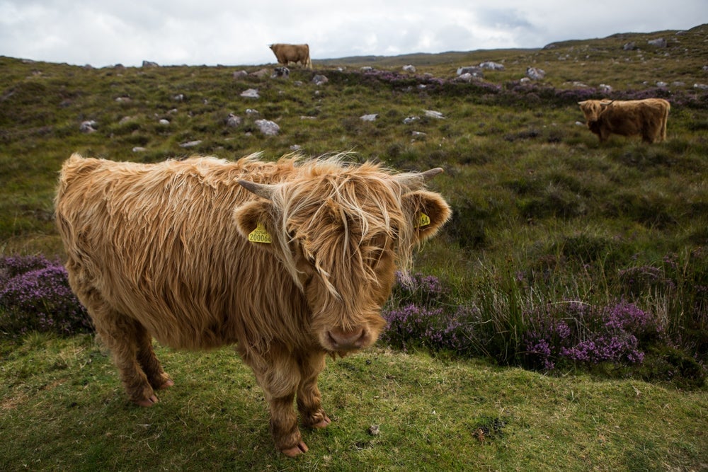
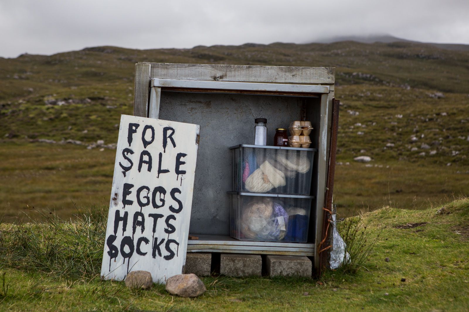
The crofters’ sheep and shaggy Highland cattle, free to roam around and occasionally blocking roads, are likely to become the only regular faces you will encounter on the route; you may be lucky even to see the crofters themselves.
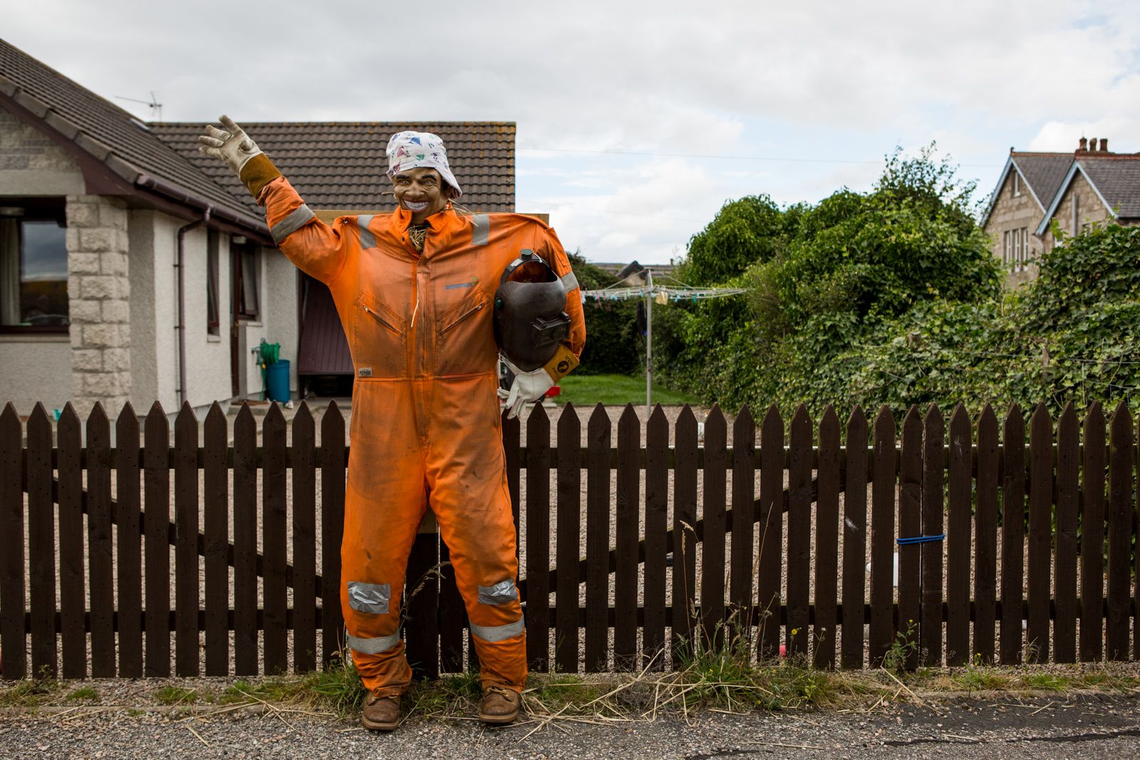
Not that there’s any shortage of human contact if you look for it—from the scarecrow festival in Brora, to the “glamping” domes of Loch Tay and the basic port of Ullapool. But even then, there’s an intimate, laid-back feeling to it all, reminiscent of simpler times.

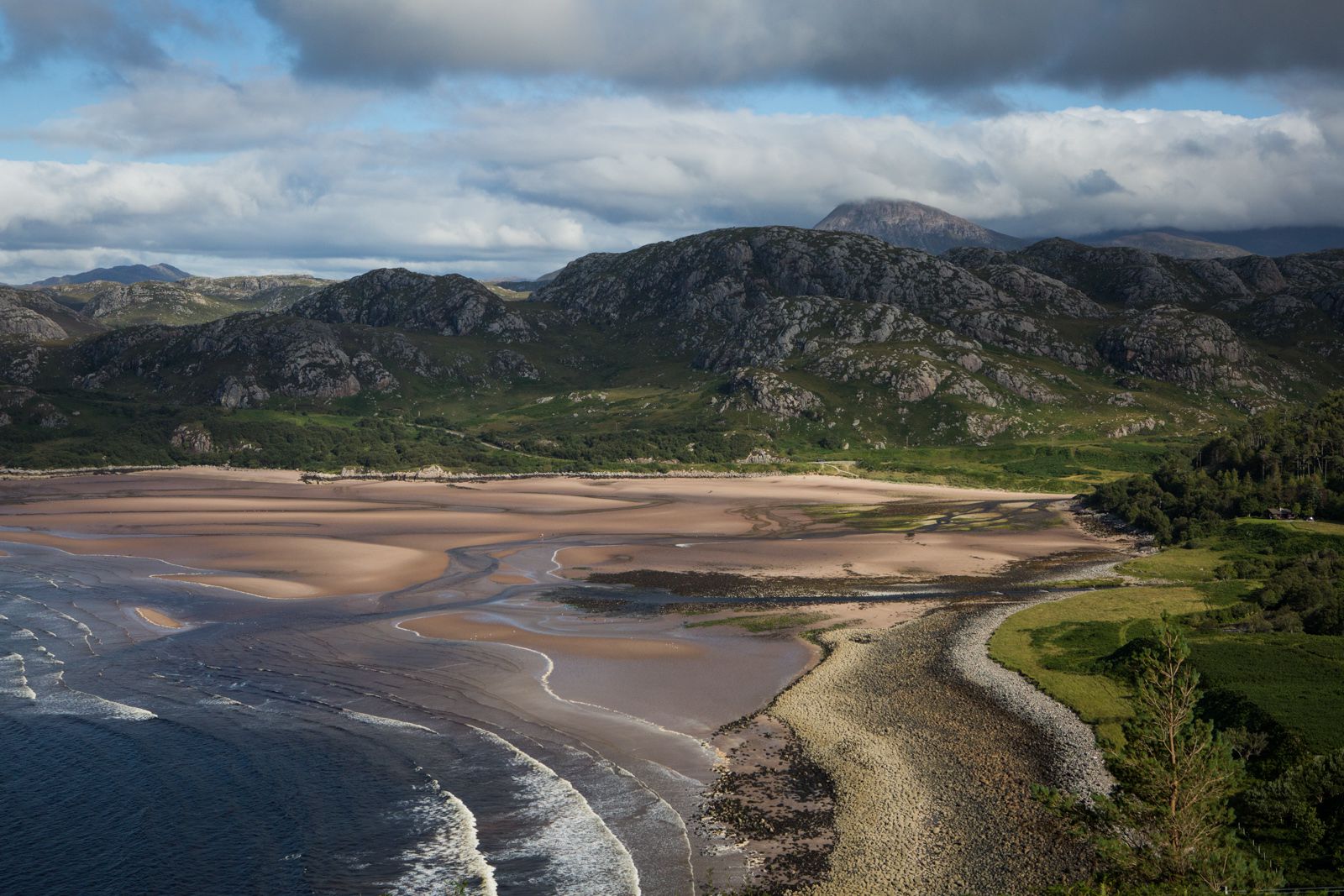
Onwards from the sheer cliffs by John O’Groats, the UK mainland’s northeastern tip, the route turns west along the roof of Scotland before entering the large registration county of Sutherland. Here the vistas are of lochs, empty white beaches and rivers, and the land is punctuated by mountains that shoot a kilometer high, penetrating and shaping the clouds. (The geological similarities between these mountains and the Appalachians in north America were among the early evidence for plate tectonics.)
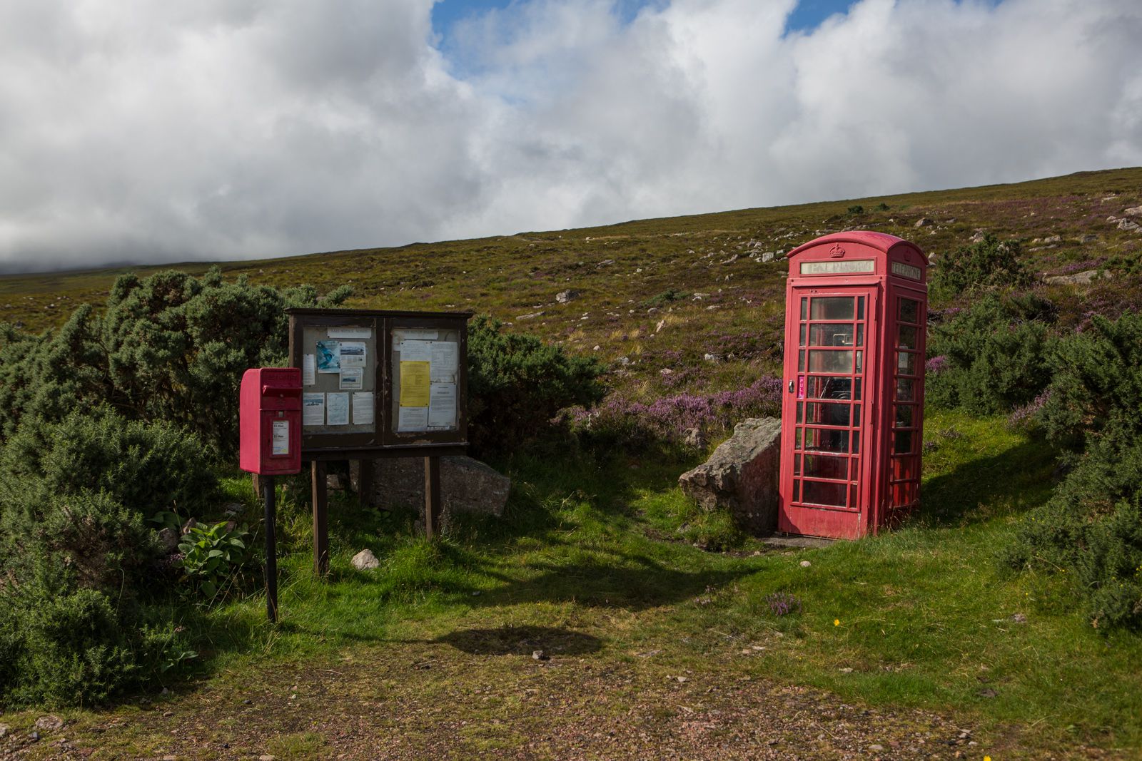
The arresting remoteness and isolation of the route only truly become apparent when you find yourself suddenly faced with another car. Most of the 516-mile route is a single-lane road. With any quantity of visitors, traffic would be a problem, even with the multitude of “passing places” along the route. Yet while cars are overwhelmingly the dominant mode of transport, it’s still possible to drive for hour after hour without seeing another soul.
Turning back towards Inverness, the stretch of road from the Applecross peninsula in West Ross invites a final breathless drive across the precarious mountaintops, and a stop for a last taste of what is considered some of the finest seafood in Europe, before the road widens and traffic picks up again. After a few days in the Highlands’ other-worldly isolation, it’s easy to see why more people should come—and also to hope that not too many more do.
The essential business news, delivered fresh every morning.
Join 500,000+ readers who start their day with Quartz.
By subscribing, you agree to our Terms of Service and Privacy Policy.