My cab is driving through a middle-class neighborhood of Rio de Janeiro at dusk. As we start snaking up a winding road, the street gets bumpier and there’s less lighting. As we near an intersection, a red pop-up appears on the driver’s Waze app: “Area with risk of crime.” There’s a voice alert too.
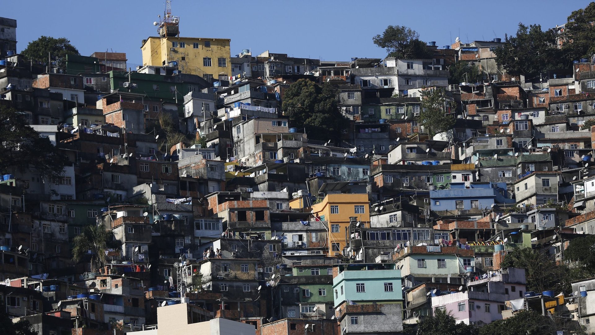
My cab is driving through a middle-class neighborhood of Rio de Janeiro at dusk. As we start snaking up a winding road, the street gets bumpier and there’s less lighting. As we near an intersection, a red pop-up appears on the driver’s Waze app: “Area with risk of crime.” There’s a voice alert too.
The crime warning feature, which appears in 25 areas in Rio, was launched in early August by Waze just in time for the rush of an estimated half million Olympic tourists.
Join 500,000+ readers who start their day with Quartz.
By subscribing, you agree to our Terms of Service and Privacy Policy.
Rio’s chronic crime had been on the decline for a few years, but homicides in the state surged by 17% and street robberies by 34% in the first six months of 2016, as the country’s economic crisis bit harder.
Waze isn’t the only one. Last week the Igarapé Institute, a Rio think tank, rolled out CrimeRadar, an app that shows crime rates in the city in different neighborhoods and even at different times of day.
Such warnings, however, raise a thorny ethical dilemma: Can you warn people about risky areas without stigmatizing those neighborhoods, potentially hurting businesses and denting property values?
It’s a question that’s set to become more pressing everywhere, as “open data” programs make cities and their structural inequalities more transparent. But it’s an especially tricky one in Rio, already deeply polarized between haves and have-nots.
Waze officials say the idea for a crime alert has been gestating for a few years, because of demand from its users. Waze has 65 million users worldwide, and Brazil is one of its biggest markets. To identify areas of risk, Waze tapped into data it got from Disque-Denúncia, a public safety call center inspired by Crimestoppers-style programs in the US. It also relied on the knowledge of its community of volunteer map editors in Rio, and a score of Brazilian employees.
To avoid causing reputational damage to neighborhoods, Waze says it decided not to release the names of the 25 risky areas or put them on a map. Names of high-crime zones are revealed only if a user punches one in as a destination, or drives into one while having the Waze app open in the background.
Waze says it held also long meetings agonizing over the wording of the alert to avoid stereotyping. “We haven’t said you’re about to enter a … favela [shantytown]; we’re calling it an area with higher crime,” says Julie Mossler, head of brand and global marketing at Waze. “Higher crime is data-driven. It’s not blanketly naming a neighborhood dangerous.”
Still, there’s already a backlash against the app in the Rocinha favela, Rio’s largest. An article in a digital publication in the favela (link in Portuguese) claimed that Rocinha was one of the 25 high-crime areas, and quoted a resident saying, “When you map a part of the city and say that one part is dangerous and the other not, you are excluding people.” (A Waze spokesperson says Rocinha actually isn’t one of the high-crime zones, and that maybe a driver saw a crime alert while passing nearby, or while en route to Rocinha.)
CrimeRadar, which is based on government data on 14 million crime incidents, shows a map of the city with blue and green signaling lower-crime areas, and orange and red for higher-crime ones. To reduce the risk of stigma, says Robert Muggah, research director at Igarapé, the app provides data in blocks of 250 by 250 meters (820 by 820 feet) instead of at a more granular level. And, he notes, it shows that crime isn’t limited to poor neighborhoods; some middle and upper-income areas of Rio are among the riskiest.
Muggah justifies the need for CrimeRadar by pointing to the overstretched police and the fact that violent crime is highly concentrated: 80% of cases occur in less than 5% of CrimeRadar’s blocks. Giving citizens the information could save lives, he argues.
Nonetheless, CrimeRadar makes no attempt to obscure the information, which means it has even more potential than WAZE to stigmatize neighborhoods. Only time will tell whether it does—or indeed whether it makes people safer.