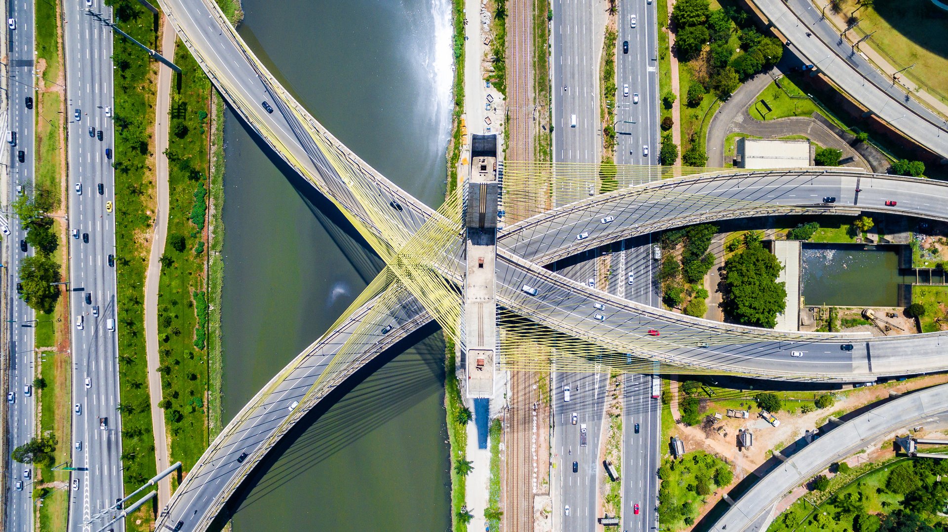
Drone photos reveal the dazzling geometry of everyday roads and intersections
We traverse over roads everyday, but seldom see the beauty of such enormous geometry drawn across the earth’s surface.


We traverse over roads everyday, but seldom see the beauty of such enormous geometry drawn across the earth’s surface.
Although satellite images provide a glimpse of the world from above, it is really with drone photography that we are brought up close to these stunning man-made structures. With more photographers piloting drones these days, a bevy of breathtaking images of roads and intersections can be found on social media.
Renan Pissolatti (@do.alto) is an amateur drone photographer from Brazil who’s been snapping up amazing photographs of the country’s urban landscape. On Instagram, his images show off the vibrance of tropical metropolitan life in a myriad of lines and shapes.
In the US, Nick Verbelchuk (@snickersv), a photographer based in Portland, Oregon, is using his DJI Phantom 4 drone to show roads slicing through thick pines in the country’s Christmas tree capital.
Two designers, Felipe Acuña and Nicolàs Arancibia from Santiago, Chile, are documenting expeditions to mountains, deserts, and tropical coasts on the Instagram account of their drone-photography production house, Cenital Chile (@cenitalchile).
Marine Corps veteran Rik Butler (@clearskieshi) is a drone photographer based in Kaneohe, Hawaii, where he explores different types of landscapes with a drone, including urban, agricultural, and coastal landscapes. Many of his photos showing the azure waters of Hawaii are a breath of fresh air, but his portfolio also includes the geometry of fields and train tracks seen elsewhere. He tells Quartz that he hopes to produce a book that documents the contrasts between human civilization and the natural environment from an aerial perspective.