Facebook’s detailed open-source maps show the gaps in global internet connectivity
To bring people the internet, first you have to figure out where there is no internet.

To bring people the internet, first you have to figure out where there is no internet.
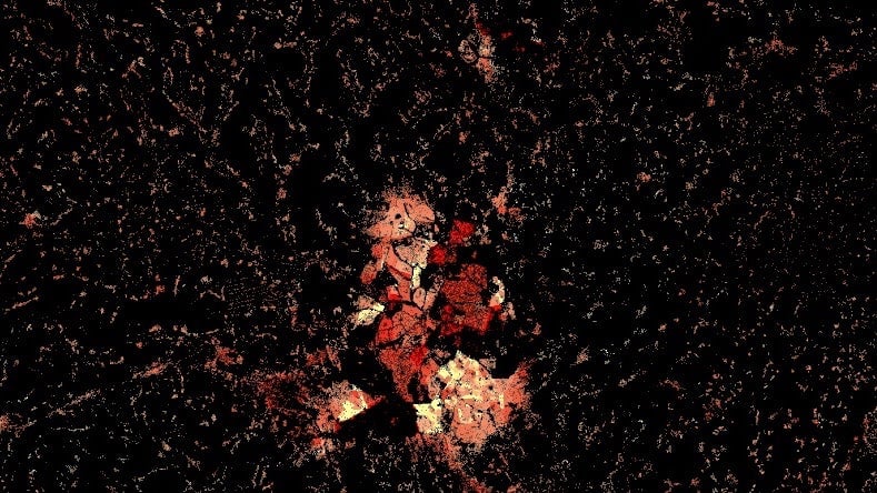
That’s why Facebook this week released a series of maps that begin the process of charting the gaps in access and connectivity around the world. The first set of maps, made available on Nov. 16, include Pretoria in South Africa, Lilongwe in Malawi, and the Ghanaian capital Accra, as well as cities in Haiti and Sri Lanka. The social media giant hopes to increase connectivity around the world by collecting data to better understand the challenges facing unconnected communities.
The open-source maps were created in collaboration with the Columbia University Center for International Earth Science Information Network and World Bank statistics to create datasets that incorporate population demographics, infrastructure development and existing internet penetration to identify the connectivity gaps and how to fix them. Making them open source means NGOs, innovators or companies can access them. They plan to release more maps over the coming months.
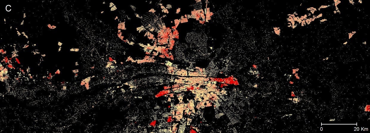
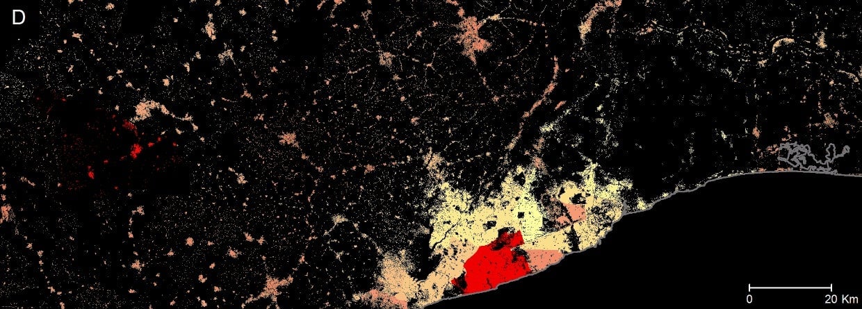
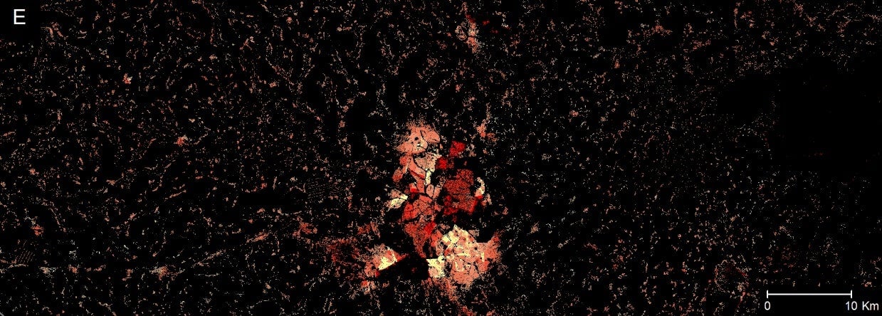
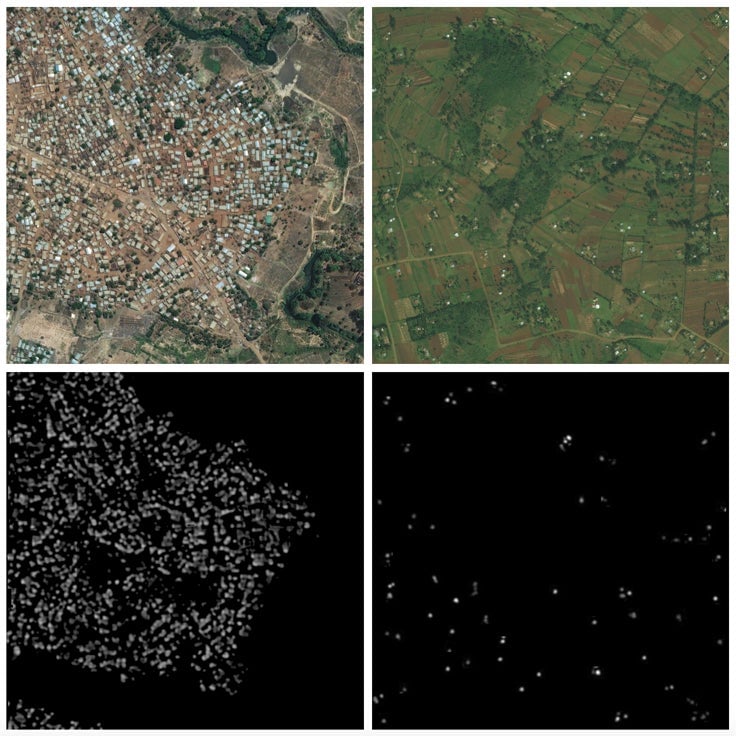
To create the maps, Facebook’s Connectivity Lab started by layering detailed satellite images and using computer vision techniques to identify physical infrastructure like buildings, then Columbia University researchers applied census data and population estimation. The data is made more precise and insightful with findings from the World Bank’s Living Standards Measurement Study.
In the countries they’ve analyzed so far, the project has found that about 50% of the population lives in cities. But almost everyone—99% of the population—live within 63 kilometers (nearly 40 miles) of a city. That could mean infrastructure developments to create internet access should be done with cellular services (rather than, say, wifi) which is better suited to connecting people who live far apart. The maps could also help identify natural or existing features that could help or hinder point-to-point links for scattered communities, for example a road or river.
Some might say Facebook’s determination to bring internet to the disconnected in the developing world is all about accessing more customers. Initiatives like its Free Basics program have had a mixed reception, but Facebook is pushing ahead with data-speeding projects like Voyager and nurturing a crop of African developers. Still, the social network does seem genuinely interested in connecting more people around the world, and whatever its intentions are, Africa is likely to benefit from that.