Old photos hold the secrets to the climate change gripping southern Africa, and could hint at what the future holds.
Old photos hold the secrets to the climate change gripping southern Africa, and could hint at what the future holds.
Scientists expect Africa to be hardest hit by climate change: its dependence on agriculture, hot temperatures, and poor infrastructure mean its citizens are likely to feel the pressure of a changing climate more than most others. But there are big gaps in our knowledge of how ecosystems and microclimates work.
Join 500,000+ readers who start their day with Quartz.
By subscribing, you agree to our Terms of Service and Privacy Policy.
“We don’t have an operating manual for the planet and we need one,” says Guy Midgley, a professor at Stellenbosch University who was part of the United Nations’ climate change panel. “It’s frustrating to see incomplete knowledge being implemented as policy.
“It’s why we need more science.”
That’s where rePhotoSA comes in: this ambitious citizen science project wants to recreate southern African historic landscapes through photography, and compare new and old vistas.
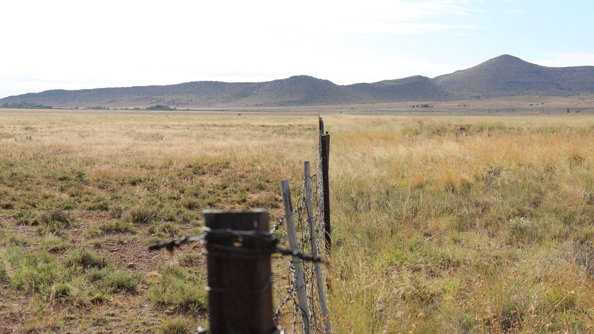
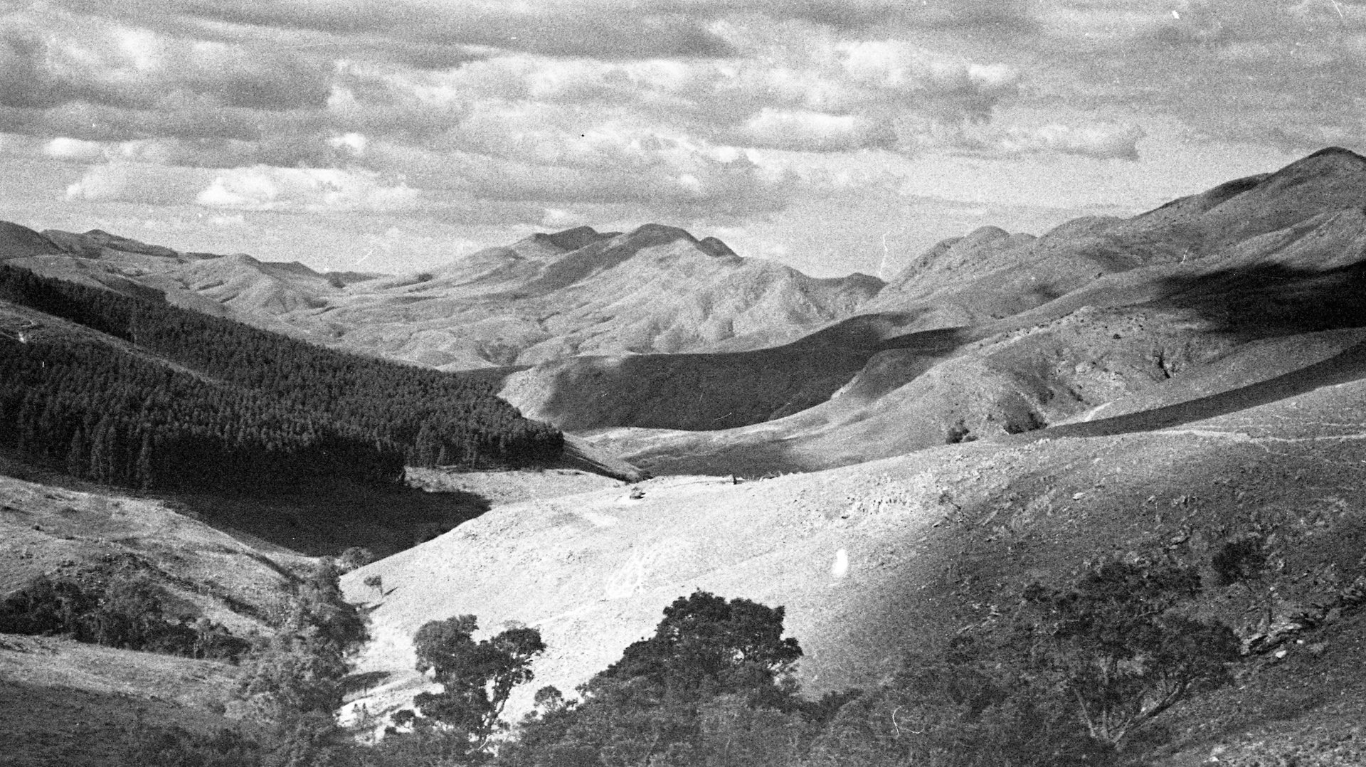
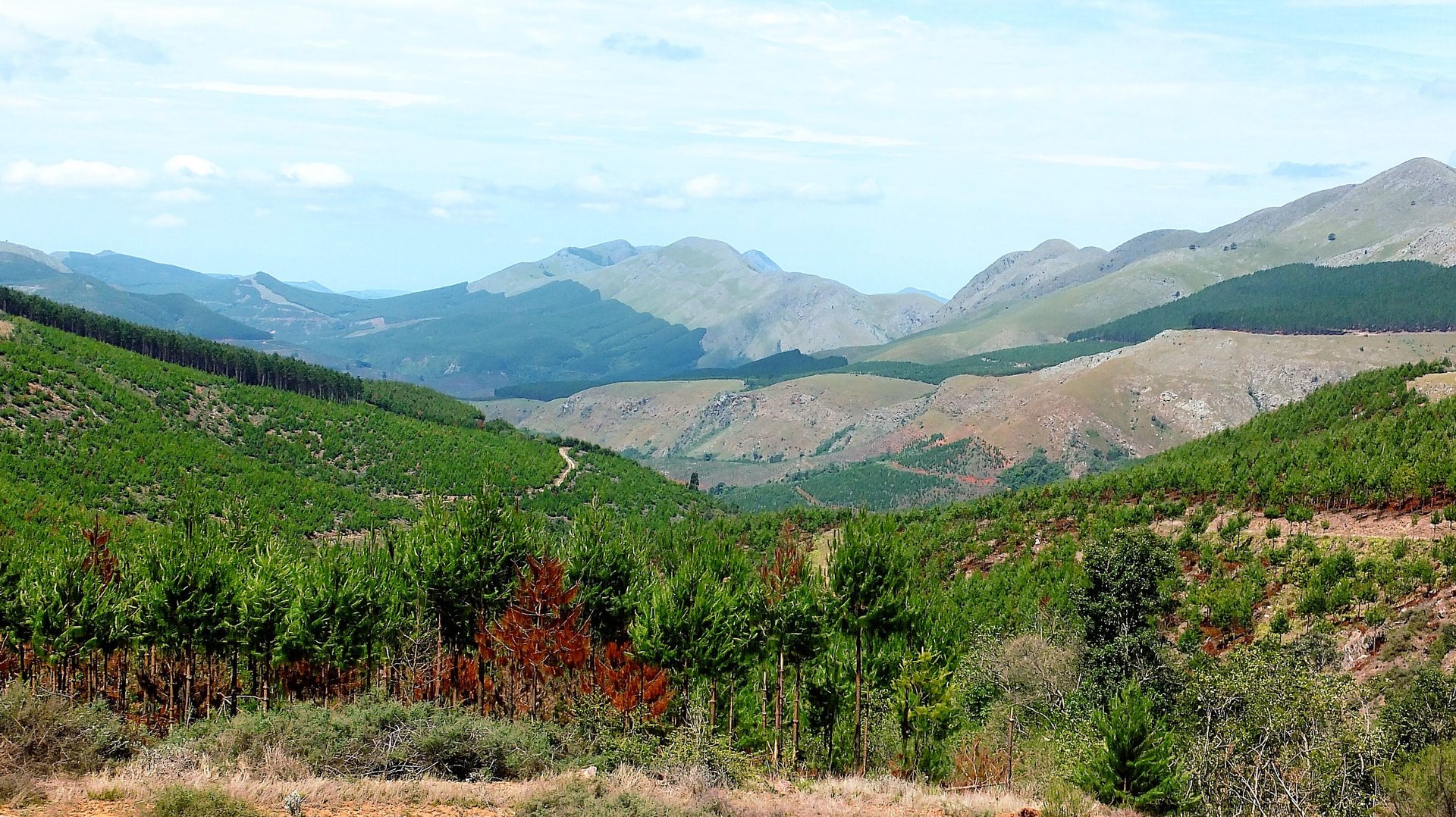
“The aim of the project is to look at how and why landscapes are changing across southern Africa,” says Sam Venter, rePhotoSA co-ordinator. They have already found dramatic changes: invasions of pine and eucalyptus trees; bush encroachment consuming the grasslands that are vital to absorbing atmospheric greenhouse gases; and towns doubling in size over the course of a decade.
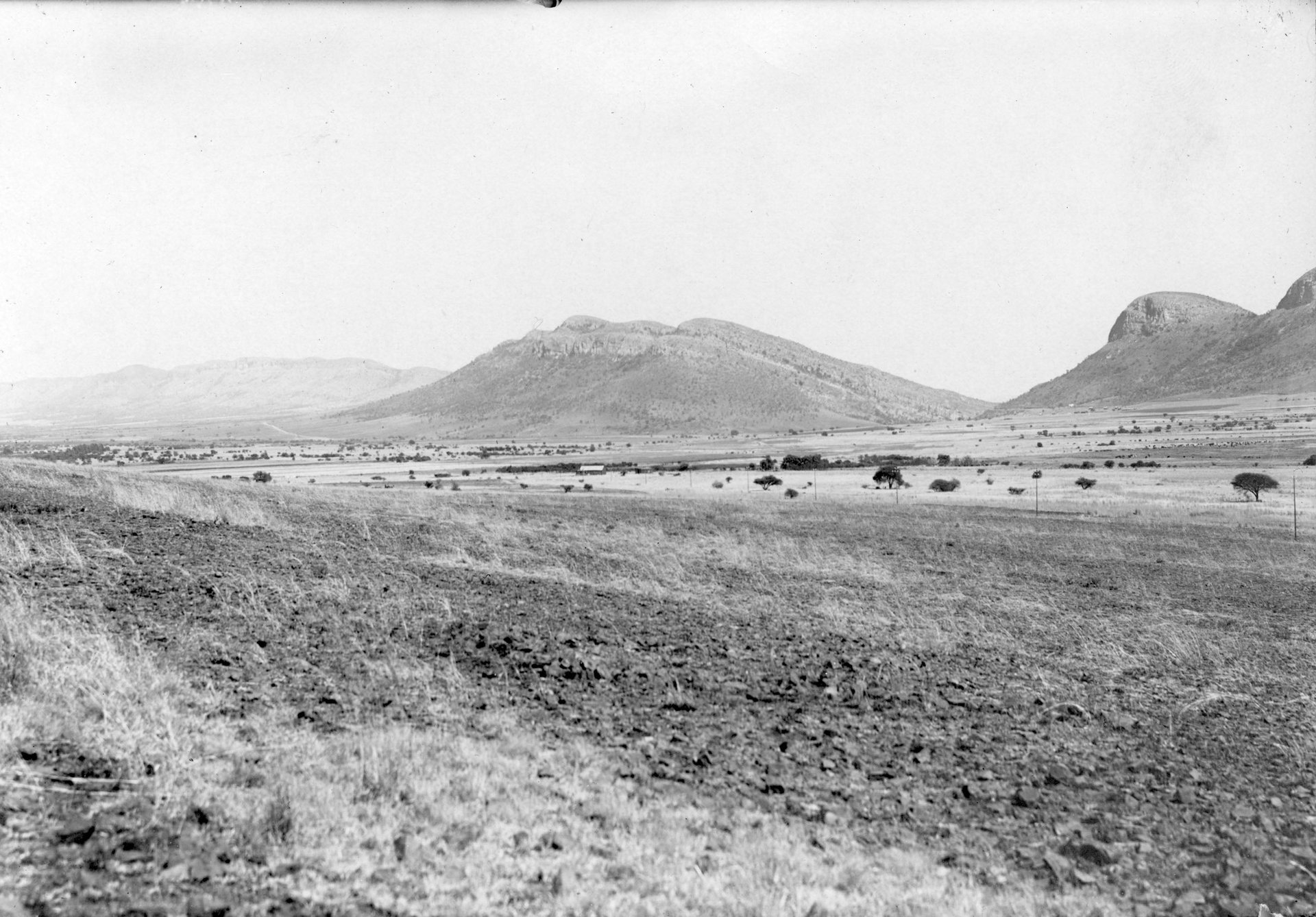
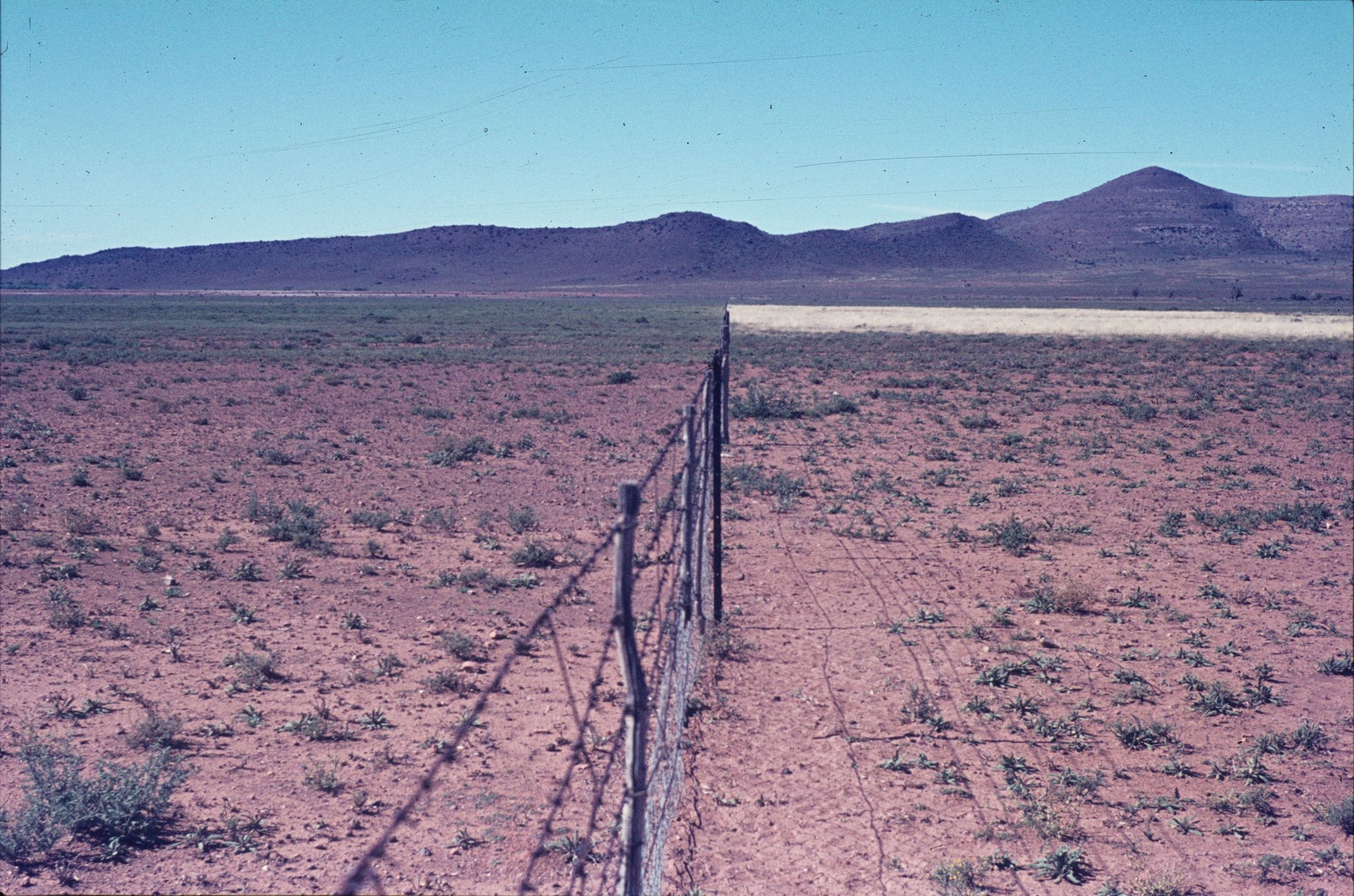
Prof Timm Hoffman — director of the University of Cape Town’s plant conservation unit, which is driving this project — has been comparing old and new photographs of southern African vistas for decades. He started looking at historical photographs around 1990 to determine whether the Karoo, an arid region in South Africa, was expanding. In the intervening decades, he has created a database of old and new photographs.
“Ground-based repeat photography has a long history in documenting landscape change,” Venter says. “Due to the growing concern over the scale and rate of climate and land-use change, the benefits of involving the public in data collection efforts is increasingly being realised.”
The team has more than 20,000 historical photographs of the southern African landscape. For these scientists, “historical” means anything before 2000. But new photos arrive frequently.
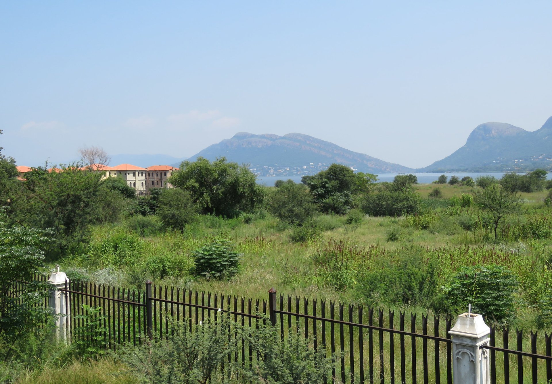
“With rePhotoSA, we upload the historical photographs online, and then every-day citizen scientists can go online, download a historical photograph, and then go out into the field, retake the photo and then upload it to our website,” says Venter.
There is a knack and skill to it, she says, making this project more attractive to citizen scientists who are looking for a challenge. The new photograph has to be a replica of the old one. “It’s quite amazing to look at the then and now, and see for yourself how our landscapes have changed, particularly in your home town.”
At the moment, they are focusing on southern Africa, which is where they have most of their historical photographs, but rePhotoSA hopes that the project will expand to include the rest of the continent and document the changes happening there.
But, even if people do not want to be citizen scientists themselves, they can browse the collections for free — or donate historic landscape photos to help those trying to piece together the past.