
The best beaches in Canada to visit this summer
From a remote Vancouver Island bay reachable only by a 43-mile logging road to Parlee Beach's Blue Flag-certified water, the warmest in Canada
Michael Samaan / Unsplash
A Canadian beach day can mean more than the standard sun, swim, and ice cream formula. Depending on where you land, it might include a bear encounter from a safe distance, a windswept walk through driftwood on an empty wilderness shore, or a snowball fight on the same sand where you swam a few months earlier. Canada’s size produces a genuinely diverse beach landscape: the North Atlantic batters the Maritime provinces into dramatic cliff-fronted coastlines with the occasional sandy cove tucked between rock formations, the Pacific in British Columbia delivers serious surf conditions against a backdrop of dense pine forest, and the Great Lakes in between offer some of the country’s sandiest and calmest shorelines, all without a drop of saltwater.
Peak beach season runs from mid-June through early September, when the sand fills up and the water, particularly ocean water, stays cold even at the height of summer. Lake water tends to run warmer. The off-season isn’t dead time, either: surfers work the coast year-round, hikers bundle up for winter beach walks, and some national park beaches double as cross-country ski trails once the snow arrives.
The 10 beaches below appear in Lonely Planet, surveyed by writer Brendan Sainsbury from British Columbia to the Maritimes. The selection spans freshwater and saltwater, wilderness and city, surf breaks and family-friendly shallows, covering the full range of what a beach day in Canada can actually look like, depending on the coast you choose. Some of these locations require genuine commitment to reach: unpaved roads, ferries, or multi-hour drives from the nearest city. Others sit within a short bus ride of a downtown core. The variety reflects how differently Canadians and visitors actually use beach time across a country where summer is short, and the coastline is enormous.
1. San Josef Bay, BC rewards wilderness seekers
James Wheeler / Pexels
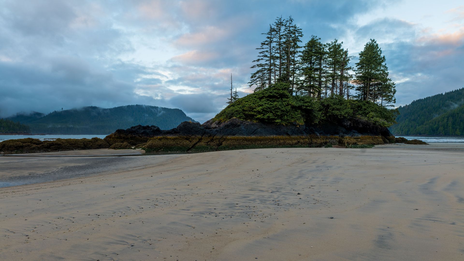
Northern Vancouver Island has a reputation for tempestuous weather and difficult access, and San Josef Bay delivers on both fronts before rewarding you for the trouble. The trail starts at the end of a 43-mile unpaved logging road out of Port Hardy, and the 1.6-mile walk in passes through dense forest before opening onto a windswept expanse of crashing surf, forested sea stacks, and trees twisted into strange shapes by decades of Pacific storms.
You can camp directly on the sand, though everything you bring in has to come back out with you. Eagles and ospreys work the shoreline regularly enough that packing binoculars is worthwhile. Cell coverage is unreliable out here, which is either a feature or a problem, depending on your relationship with being unreachable.
This is the kind of beach where the journey is part of the experience, not an obstacle to it. The logging road alone filters out casual visitors, and the payoff, an essentially empty stretch of wild Pacific coastline, justifies the 70-kilometer drive on gravel. The trail itself runs through old-growth forest before opening onto the beach, and the transition from dense canopy to open sky and crashing surf happens fast enough that it catches most first-time visitors off guard. Few beaches in Canada feel this remote while still being reachable by car, even if that car spends most of an hour bouncing along a logging road to get there. The lack of cell coverage isn’t an inconvenience so much as the point: this is one of the few coastal stretches left where being unreachable is part of the experience, not an unfortunate service gap. Wildlife sightings beyond the eagles and ospreys aren’t unusual either, since the entire northern tip of Vancouver Island sits at the edge of habitat that supports black bears, wolves, and a healthy marine mammal population offshore. Visitors who plan to camp should arrive prepared for genuinely variable weather, since the same exposure that makes the storms so dramatic also means conditions can shift fast and without much warning.
2. Stanhope Beach, Prince Edward Island stays crowd-free
Jaime Bishara / Unsplash
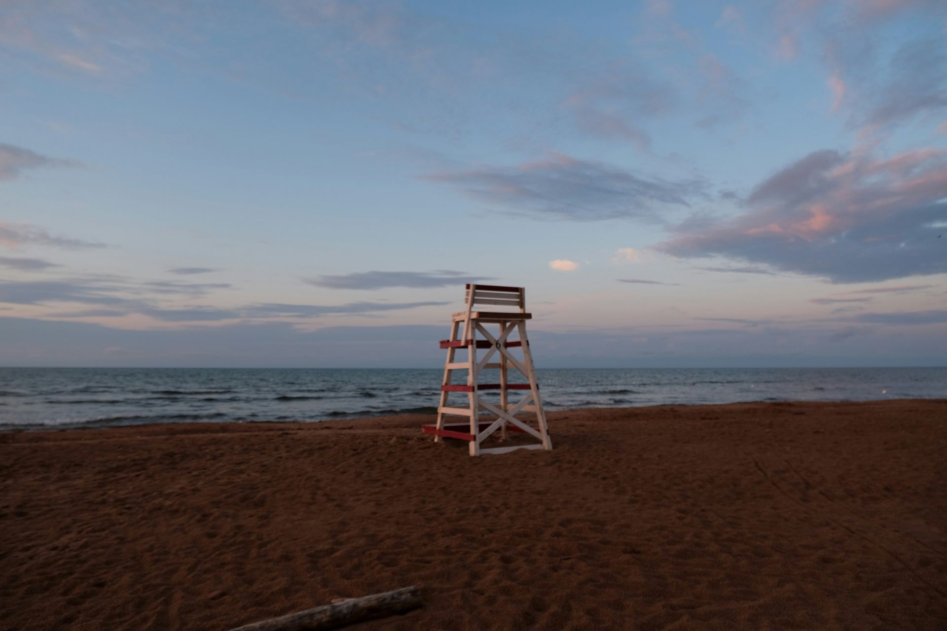
Stanhope, on PEI’s north shore, gets a fraction of the tourist traffic that nearby Cavendish Beach absorbs every summer, which makes it the better choice for anyone who wants the island’s beach scenery without the crowds. A boardwalk crosses the marram-grass dunes, a protected nesting site for piping plovers from mid-March through August, adding a wildlife dimension beyond the usual beach stroll.
Walking west along the shore leads to the Covehead Harbour Lighthouse, a white clapboard structure with the kind of understated charm PEI does well. Walking east instead brings you to Dalvay by the Sea, a Queen Anne revival hotel built in 1895 that’s worth a look even if you’re not staying there.
Park entrance from June to September costs 10 Canadian dollars for individuals or 20 for families. Water temperatures in peak summer run between 15 and 20 degrees Celsius, warm enough for a comfortable swim by Atlantic Canada standards, which is a meaningfully lower bar than the Pacific or the open Atlantic elsewhere on the coast. The dunes themselves are part of the appeal beyond their role as plover habitat: marram grass holds the sand in place against the wind, creating a soft, undulating landscape that’s genuinely pleasant to walk through, even without the beach at the end. Stanhope’s relative quiet compared to Cavendish means fewer concession stands and parking lots, which trades some convenience for a noticeably calmer atmosphere. Visitors who want the full PEI north shore experience without the crowds that the island’s more famous beaches attract tend to end up here, often by word of mouth, not guidebook recommendation. The beach faces north onto the Gulf of St. Lawrence, not the open Atlantic, which moderates the surf somewhat and makes it a more forgiving swim than some of the island’s south shore options. PEI’s red sandstone cliffs, visible along stretches of the walk in both directions, give the coastline a distinct color that shows up in nearly every photograph taken here, whatever the season.
3. Wasaga Beach, Ontario is Canada’s best swimming beach
Credit: Tourism Simcoe County
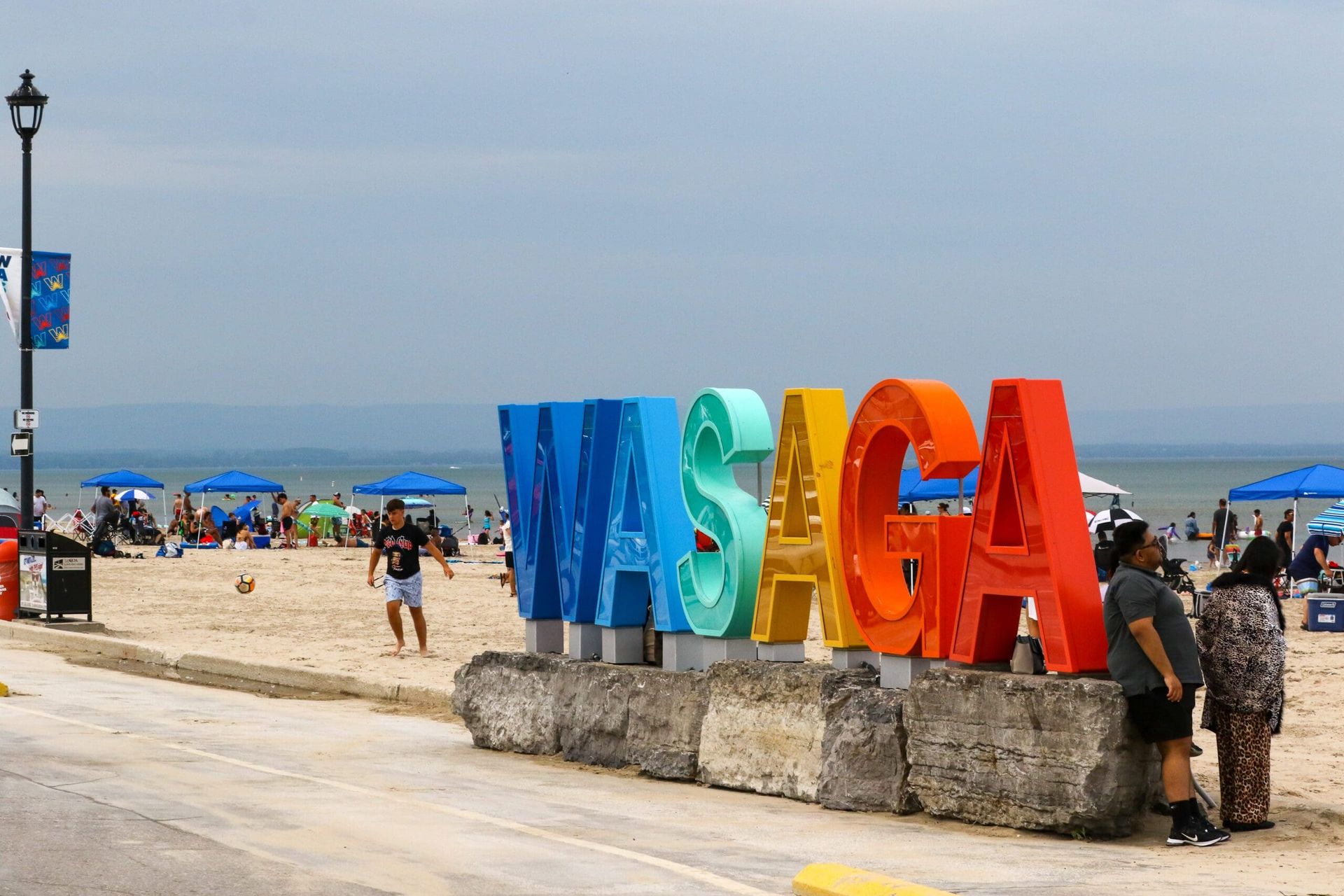
Wasaga Beach claims the title of the world’s longest freshwater beach: 8.7 miles of soft sand along Georgian Bay, part of Lake Huron. The beach sits inside a provincial park with hiking trails and a resident population of owls and woodpeckers, but its real draw is straightforward swimming access closer to Toronto than any comparable freshwater beach.
That proximity to Toronto means crowds. Thousands of visitors arrive every summer weekend, and the long sand strip can get loud and busy, particularly in the most accessible sections. The beach is divided into six numbered zones, all with warm, shallow water safe for swimming. Areas 1 and 2 see the heaviest traffic, area 5 works well for families, and area 6 is the move if you want some actual space.
A daily parking permit costs 21 dollars per vehicle. Booking in advance is the smart play, since lot capacity fills early on hot summer days, and arriving without a reservation can mean circling for parking instead of swimming. The provincial park surrounding the beach has its own appeal beyond the sand: boardwalk trails wind through dune habitat where owls and woodpeckers are common sightings, and the park’s size means there’s room to escape the busiest stretches even on a packed weekend. Wasaga’s status as the closest major beach to Toronto means it functions as much as a regional getaway as a tourist destination, which shows in the crowd composition: more local families and weekend visitors than international tourists, and a corresponding energy that leans toward casual, not curated. The beach’s six-zone system was designed deliberately to spread visitors out instead of concentrating everyone at a single access point, and the system mostly works, though the most popular zones near the main parking areas still fill first on hot weekends. Beyond the sand, Wasaga’s small downtown strip has the usual collection of ice cream stands, mini-golf courses, and arcade games that define a classic Canadian beach town, for visitors who want the full resort-town experience, not just the shoreline.
4. Chesterman Beach, BC is a surfer’s favorite spot
Sebastian Huxley / Unsplash
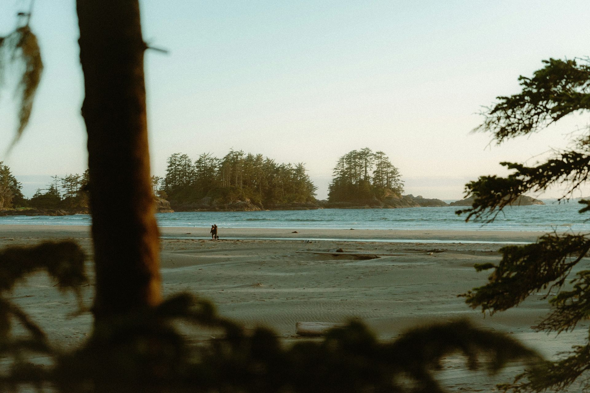
Tofino is Canada’s surfing capital, and picking a favorite beach among its options is genuinely difficult since most of them are excellent. Long Beach gets the most votes for sheer length, but plenty of locals rank Chesterman as the more complete beach: a curved stretch of sand ringed by rock pools, small islets, and a narrow sand spit, equally good-looking in early morning fog or a fiery sunset.
The surf here is consistently good, which is the main reason Chesterman draws the crowd it does. Unlike Long Beach, Chesterman sits close enough to town that you can ride a bike there with your board clipped to a special rack, and the sand stays firm enough to actually cycle on instead of just pushing through.
The beach’s compact geography, rocks, and islets breaking up the open water, give it a more visually varied surf zone than the long uninterrupted stretches elsewhere in Tofino, which is part of why it’s earned the local loyalty it has, despite not topping the visitor surveys. Surf schools and board rental shops cluster nearby, making Chesterman the easiest entry point in Tofino for visitors who’ve never surfed before but want to try. The beach’s accessibility from town also means it gets busier than some of Tofino’s more remote breaks, though the crowd rarely reaches the point of genuinely competing for waves. Tofino’s broader reputation as a surf town rests heavily on beaches like this one: good enough conditions for serious surfers, forgiving enough for beginners, and scenic enough that non-surfers are happy just to watch from the sand. The rock pools scattered along the shore are worth exploring at low tide, when they reveal small marine life, anemones, and tiny crabs, mostly, that give kids and curious adults something to do between sets. Chesterman’s two distinct sections, separated by a small headland, each have a slightly different wave character, so surfers sometimes walk between them depending on which side is breaking better on a given day.
5. Kitsilano Beach, Vancouver is Canada’s best city beach
Jhana Ellard / Unsplash
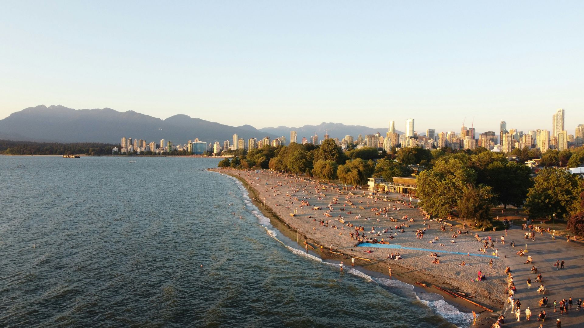
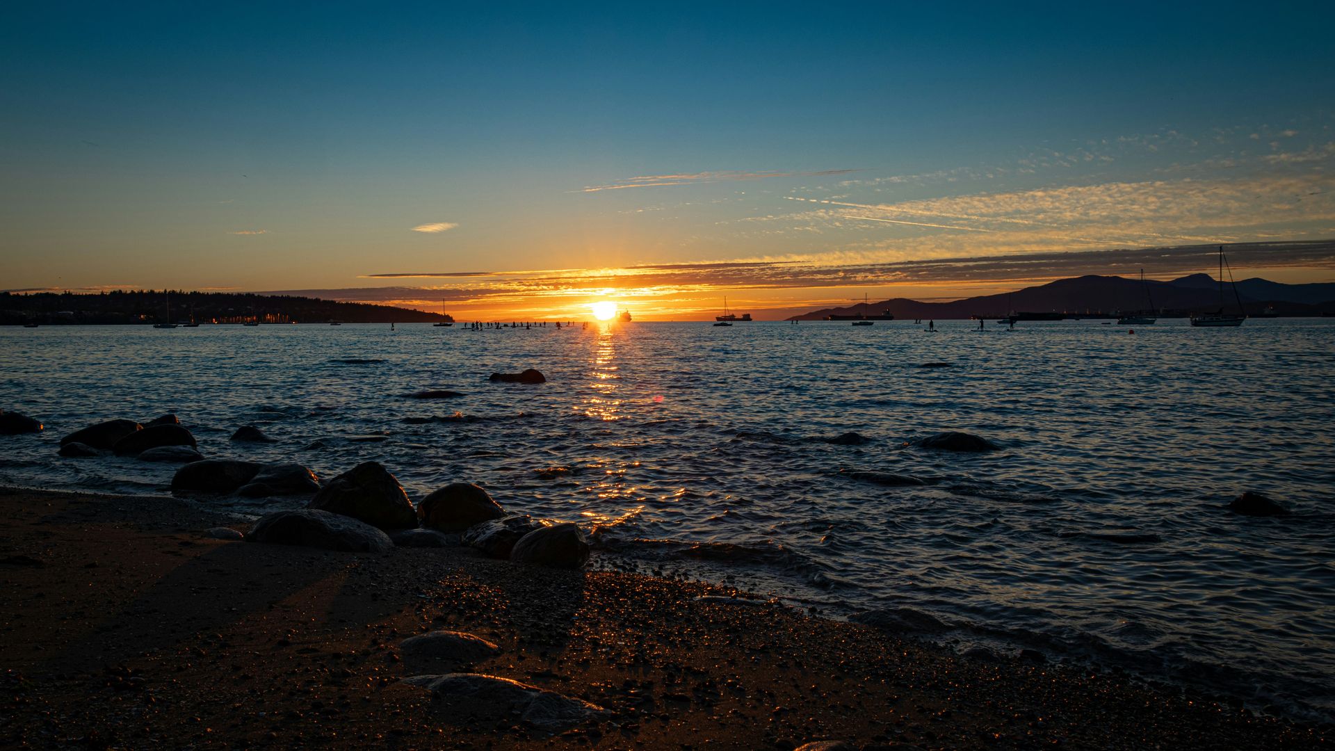
Kitsilano, known locally as Kits, is the closest Canada gets to importing a slice of Southern California. The beach is a 20-minute bus or bike ride from downtown Vancouver, backed by cafes and a park, with a sporty, unhurried energy that picks up considerably once summer arrives. Beach volleyball is the default activity, and the grassy areas behind the sand handle frisbee and football for anyone who’d rather not deal with sand underfoot.
The view across the water takes in Vancouver’s glass downtown skyline on one side and the North Shore mountains on the other, which is a combination most beach cities can’t offer. The sand itself is fine and clean, the kind that doesn’t track sticky residue back to your towel.
If swimming in English Bay, which shares the water with a steady stream of boat traffic, doesn’t appeal, Kits has an alternative: a nearly 450-foot saltwater pool, one of the largest of its kind anywhere in the world, sitting right at the edge of the beach. The pool runs along the waterfront and is regularly refilled with fresh saltwater, giving swimmers a chlorinated-free alternative to the bay without sacrificing the ocean feel entirely. Kitsilano’s broader neighborhood, with its yoga studios, juice bars, and relentlessly healthy energy, extends the beach’s California-adjacent vibe well past the sand itself. Locals treat Kits Beach as a genuine extension of daily life, not a special-occasion destination, which gives it a lived-in, unpretentious quality that some of Vancouver’s more scenic but less-used beaches don’t quite have. The beach’s western end connects to Jericho Beach and the rest of the city’s waterfront park system, making it possible to walk for miles along the shoreline without ever leaving sight of the water. Sunset is arguably the best time to visit: the mountains across the inlet catch the evening light, and the entire beach tends to fill with people who’ve finished work and come straight from the office, towels and all.
6. Shallow Bay, Newfoundland is best for kayaking
DragonWoman / Flickr (CC BY-NC-ND 2.0)
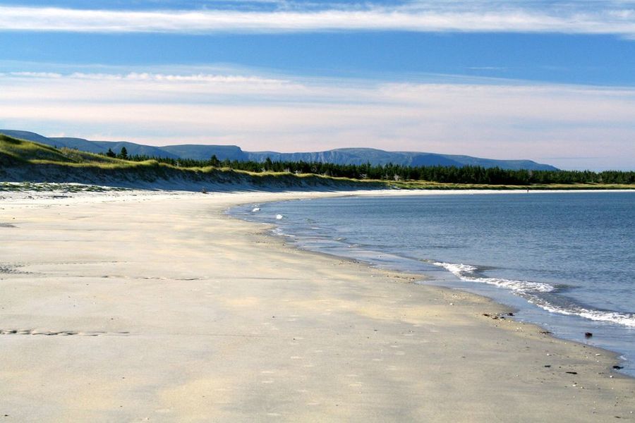
Shallow Bay sits inside Gros Morne National Park on Newfoundland’s west coast, and the name describes exactly what you’ll find: gentle, shallow water along a long stretch of sand with a mellow, almost Caribbean feel that lasts right up until you actually wade in. The Gulf of St. Lawrence runs about 59 degrees Fahrenheit here even in summer, which immediately resets any tropical expectations.
Kayaking is the beach’s signature activity. Paddlers launch directly from the sand and navigate the sheltered waters around the Belldowns Islands, where Arctic terns nest before undertaking one of the longest migrations of any bird species. Whale sightings happen out at sea on a fairly regular basis, though they’re never guaranteed.
Winter transforms the place entirely. The same beachside paths that carry summer walkers become cross-country ski trails once the snow sets in, which makes Shallow Bay one of the rare Canadian beaches with a genuine year-round identity, not just a single summer season. Gros Morne’s broader landscape, with its fjords and exposed mantle rock formations, makes Shallow Bay a natural complement to the park’s other major attractions rather than a standalone destination. Visitors who base themselves nearby for several days typically split time between the beach and the park’s hiking trails, since the cold water makes Shallow Bay better suited to short dips and paddling than extended swimming. The relative remoteness of Newfoundland’s west coast keeps visitor numbers manageable even in peak season, which is part of why the beach has retained its quiet, unhurried character. The park’s interpretive center near the visitor area offers context on the region’s geology and wildlife, making it worth a stop before or after the beach itself. Western Brook Pond, the park’s other major attraction and a landlocked fjord carved by glaciers, sits close enough that combining the two in a single day is a reasonable plan for visitors with limited time on Newfoundland’s west coast. The drive between the two takes less than an hour, and most tour operators in the area package a Western Brook Pond boat tour together with time at Shallow Bay for exactly this reason.
7. Annette Lake, Alberta is Canada’s best beach for wildlife
Tony Fernandez / Flickr (CC BY-NC 2.0)
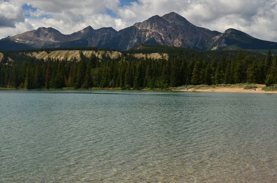
Alberta is landlocked, so its beach culture runs entirely on lakes, and Annette Lake in Jasper National Park is the best of them. The beach itself is small, barely longer than a frisbee throw, with cold glacial water and a forested shoreline that opens onto views of the Canadian Rockies disproportionate to the beach’s modest size.
The wildlife is the real draw. Grizzly bears turn up in the area often enough that packing bear spray alongside your beach gear is a reasonable precaution, not paranoia. Elk and mule deer show up more frequently and pose considerably less risk, making them the more relaxing company if you’re hoping for animal sightings without the adrenaline.
The contrast between the beach’s tiny footprint and the scale of the mountains around it is what makes Annette memorable. You’re not coming here for acres of sand. You’re coming to a small patch of shoreline with one of the best mountain backdrops of any beach in the country. Jasper’s broader wildlife population means bear sightings near Annette Lake are a genuine possibility, not a marketing exaggeration, and park rangers post current activity reports at trailheads that are worth checking before heading down. The lake’s glacial origin keeps the water cold enough that swimming sessions tend to be brief, which suits most visitors fine since the scenery does most of the work here anyway. Annette pairs well with a longer Jasper itinerary: a quick stop for a cold dip and a mountain view between longer hikes elsewhere in the park. The lake’s small size means it never feels crowded even when several groups are present, since the shoreline naturally spreads people out along its length. A short interpretive trail circles part of the lake and offers different angles on the surrounding peaks, useful for visitors who want a slightly longer outing than just sitting on the sand watching the water. Jasper itself sits about 45 minutes away by car, making Annette Lake an easy half-day excursion for anyone staying in town who wants a break from the busier attractions closer to the townsite.
8. Grande Echouerie, Quebec is best for kitesurfing
Credit: Tourisme Iles de la Madeleine
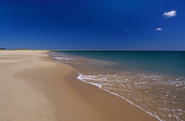
The Îles-de-la-Madeleine archipelago falls under Québec’s administration but feels geographically and culturally closer to the Maritimes. The islands have 217 miles of beaches set against iron-rich red cliffs, and Grande Échouerie, a 6-mile sweep of pale sand on Grosse Île, is the best of them. The beach runs northeast from Pointe Old Harry into the East Point National Wildlife Reserve’s wetlands, a protected area that adds to the visual appeal with birdlife: horned grebes and piping plovers both frequent the tufted dunes.
The wind is the headline feature. The archipelago’s consistently stiff breezes make this one of the best kitesurfing locations in Canada, drawing riders who travel specifically for the conditions. If kitesurfing isn’t your sport, the same wind makes for excellent kite flying, a lower-stakes way to use the same weather.
The beach’s length and relative remoteness mean you can walk for hours without encountering many other people, which, combined with the wind and the wetland scenery, makes Grande Échouerie feel considerably wilder than its administrative status as part of Québec might suggest. The archipelago’s isolation, reachable mainly by ferry from Prince Edward Island or by air, keeps visitor numbers low relative to the scale of the beaches, which means even peak summer rarely produces real crowding. The red sandstone cliffs that frame much of the coastline give the islands a distinct visual identity, setting them apart from both the Maritimes proper and mainland Québec. Visitors planning a kitesurfing trip specifically should book equipment rental and lessons in advance, since the islands’ limited infrastructure can’t always accommodate walk-in demand during the windiest and most popular weeks. The Madeleine Islands’ broader culture, French-speaking, fishing-based, and distinct from both Québec’s mainland and the neighboring Maritime provinces, gives the whole trip a flavor that extends well beyond the beach itself. Local seafood, particularly lobster and scallops, served in the small island restaurants, makes for a worthwhile meal after a day spent fighting the wind.
9. Dunes Beach, Ontario tempts visitors up the dunes
Jasonpetit / Wikimedia Commons (CC BY-SA 4.0)
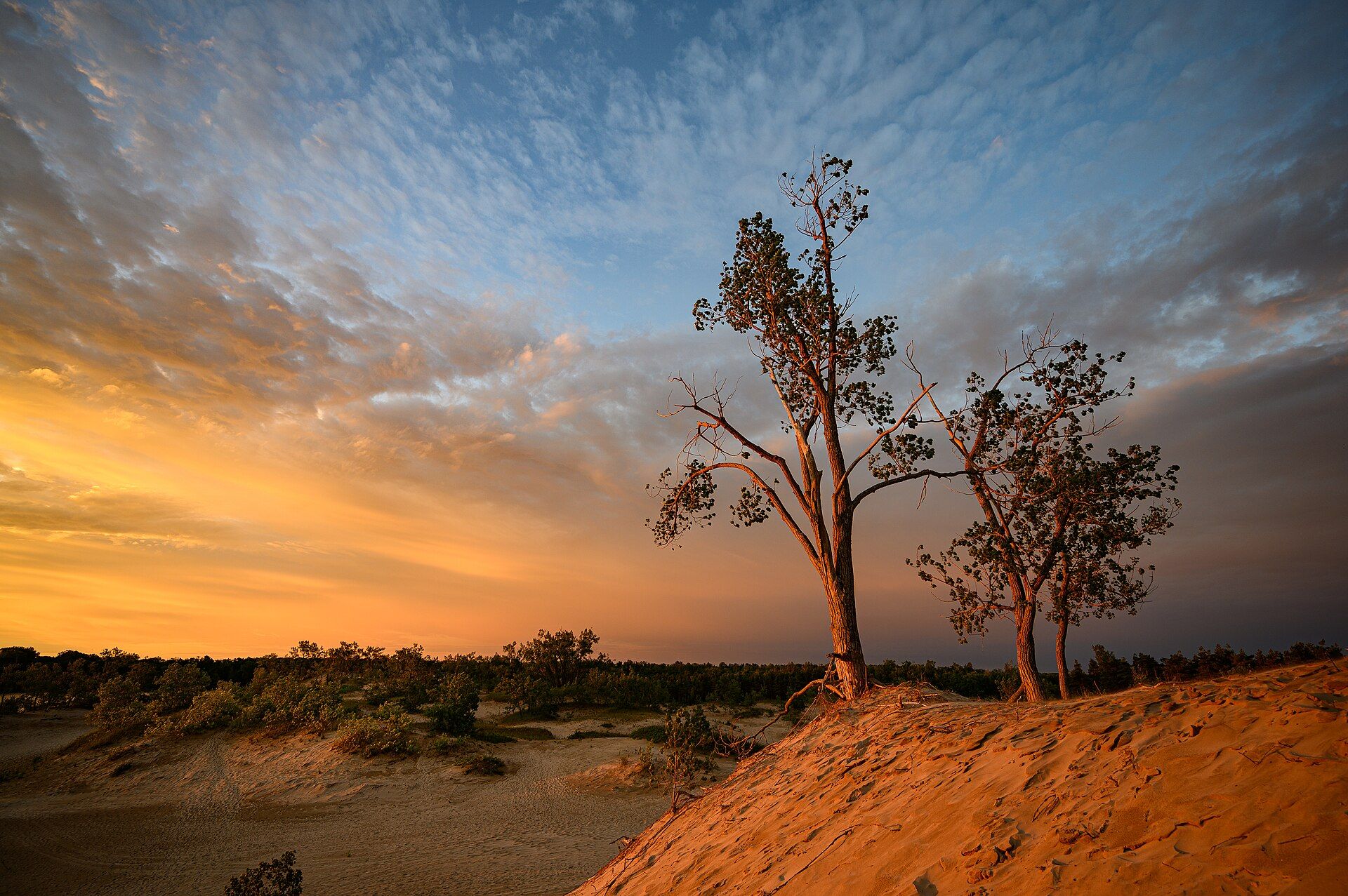
Sandbanks Provincial Park, about two and a half hours east of Toronto, contains the world’s largest bay-mouth barrier dune formation, and the park’s three beaches each offer a different experience of it. Outlet and Lakeshore, the two most visited, face directly onto Lake Ontario’s main body. Dunes Beach, quieter and more interesting, sits on the sheltered, calmer waters of West Lake instead.
The dunes themselves are the attraction here. Giant mounds of sand, some dotted with trees and scrub, rise steeply from the shoreline, turning the beach into something closer to a playground than a place to lie still. Most beaches encourage relaxation. Dunes Beach encourages running up the slopes and tumbling back down into the lake, which is a different kind of beach day entirely.
Park access requires a $21 daily permit, available in advance, and Sandbanks offers several camping options for visitors who want to extend their stay beyond a single-day trip. The dune formation itself took thousands of years to build, shaped by wind and lake currents into the largest bay-mouth barrier system of its kind on the planet, and walking among the dunes gives a tangible sense of that geological scale. West Lake’s calmer water makes Dunes Beach a better choice for young children than the wave-exposed Outlet and Lakeshore beaches, even as the dune climbing itself appeals more to older kids and adults looking for some physical activity beyond sitting on a towel. The park’s location within easy striking distance of Toronto, Kingston, and the Prince Edward County wine region makes it a practical add-on to a broader Ontario road trip, not a standalone destination requiring its own dedicated visit. Prince Edward County’s wineries and farm stands are worth combining with a beach day here, especially in late summer when the local produce is at its best. The park’s three beaches are close enough together that visiting more than one in a single trip requires only a short drive, and many visitors split a full day between Dunes Beach in the morning and the livelier Outlet or Lakeshore beaches in the afternoon.
10. Parlee Beach, New Brunswick has Canada’s warmest water
Credit: NB Parks
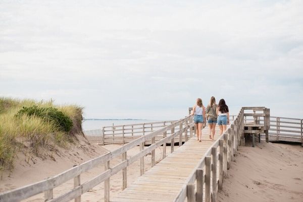
Parlee carries International Blue Flag certification for water quality, safety, and environmental management, and it backs that up with the warmest seawater anywhere in Canada. The sand is soft and golden, the water is shallow enough that kids can wade out a long way safely, and lifeguards patrol throughout the day during peak season, which makes Parlee the default choice for families in the region.
Development around the beach stays deliberately minimal. Grassy dunes buffer a clean strip of showers, changing rooms, and a few spots selling poutine, but there’s no boardwalk sprawl or major commercial presence crowding the sand. The Beach Boys played a concert here once, and the easygoing, slightly retro beach-town atmosphere has stuck around since.
Anyone visiting with an appetite worth saving should hold off on a big meal beforehand: Shediac, the self-proclaimed lobster capital of the world, sits just down the road and is exactly the kind of stop locals plan their Parlee trips around. New Brunswick’s relatively warm Northumberland Strait waters are the reason Parlee’s temperatures outpace every other Canadian beach, a quirk of geography that the region has built an entire tourism identity around. The warm water, soft sand, and minimal crowding compared to similarly warm beaches elsewhere make it a reliable choice for multi-generational family trips, where grandparents and toddlers alike can find a comfortable way to spend the day without fighting the current or cold. The beach sits within easy reach of Moncton, making it a manageable day trip for visitors based in the city, though staying nearby for a night or two allows for both a relaxed beach day and a proper lobster dinner in Shediac without rushing either. New Brunswick’s broader Acadian coast, with its mix of French and English heritage, adds a cultural layer that extends well beyond the beach itself. Parlee’s parking lot fills early on the hottest days of summer, and arriving by mid-morning is the most reliable way to avoid spending part of a beach day looking for somewhere to put the car.