
The best — and most adventurous — things to do in Colorado this summer
From alpine wildflowers carpeting Crested Butte's meadows in mid-July to a 1882 steam locomotive climbing into the San Juan Mountains above Durango
-1920x1272.jpg)
Melanie Magdalena / Unsplash
Once the snowpack melts in the high country, Colorado’s summer landscape produces a specific quality of experience that no other season here matches. The wildflowers come first, carpeting alpine basins that were buried under snow a few weeks earlier. The rivers run fast from the snowmelt, producing whitewater conditions on the Arkansas and the Yampa that draw paddlers from across the West. The high-altitude roads open, giving access to passes and peaks that are unreachable for half the year. And the clear, low-humidity air at elevation produces a quality of light that makes everything from a concert at Red Rocks to a stargazing session in the San Juan Mountains feel cinematically vivid.
The activities on this list cover the full range of what makes Colorado summer worth the trip. Some require physical commitment: climbing a 14,000-foot peak through alpine wildflowers, running Class IV whitewater on the Arkansas, or traversing a via ferrata cliff route on fixed iron cables. Others are as relaxed as a soak in a geothermal pool at Glenwood Springs or a seat on the Durango and Silverton Narrow Gauge Railroad while the San Juan Mountains slide past the window.
The 10 activities below appear in Lonely Planet, covering Colorado’s most rewarding summer experiences across the state’s varied terrain. Colorado’s altitude is a practical consideration worth knowing before any summer visit: at elevations above 8,000 feet, the sun is more intense, dehydration happens faster, and physical exertion feels harder than at sea level. A day of acclimatization, adequate water, and sunscreen with a higher SPF than usual covers the basic adjustments. Afternoon thunderstorms are common across the Colorado mountains between June and August, typically building from late morning and arriving between noon and 3 p.m. Planning outdoor activities for the morning hours and moving toward shelter or a lower elevation before noon significantly reduces lightning exposure.
1. Colorado alpine wildflowers peak in mid-July and August
Holly Mandarich / Unsplash
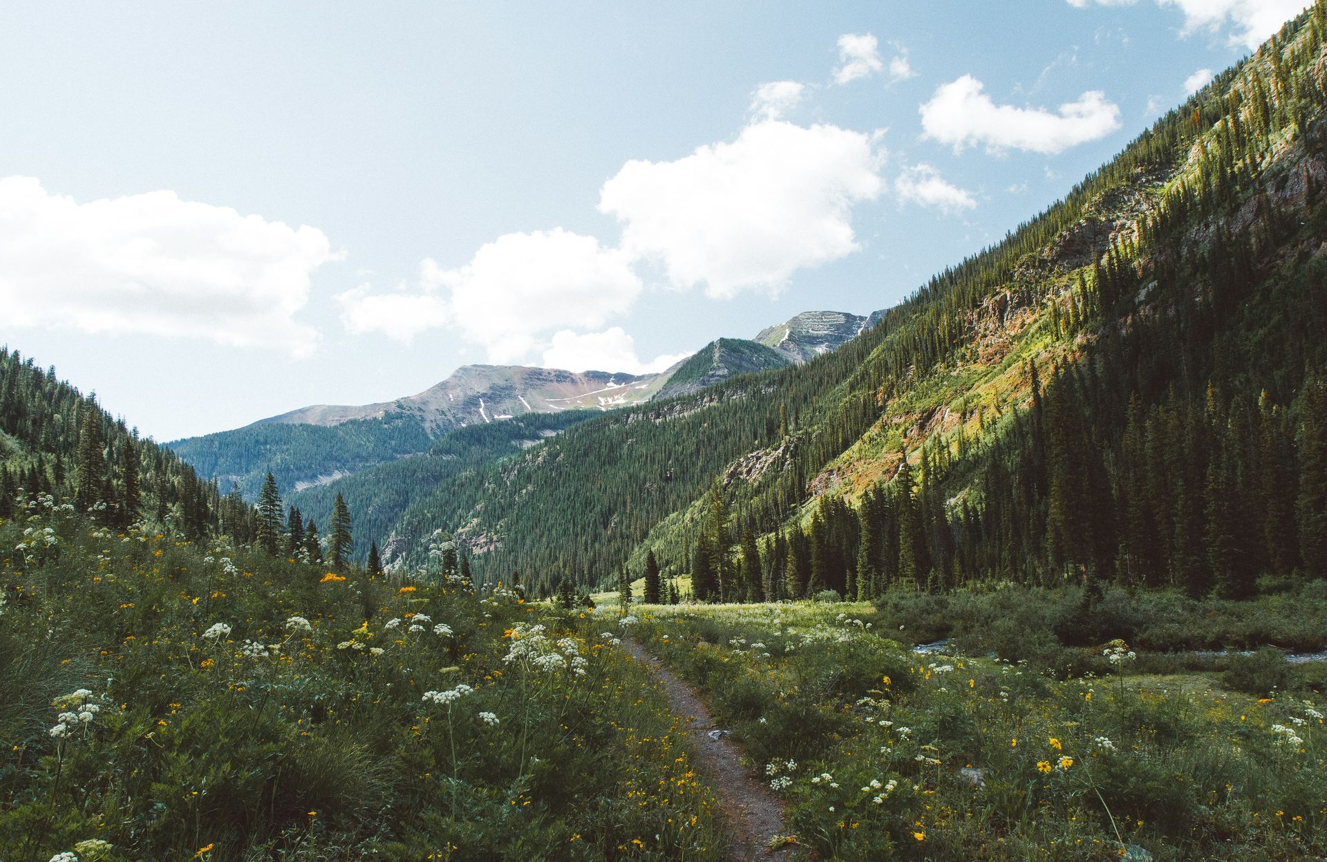
Colorado’s alpine wildflower season is short and specific: the optimal window runs from mid-July through early August, when the slopes that were under snow in May are blanketed with Parry’s primrose, king’s crown, and purple columbine, the state flower. One of the best hikes for the full display is the approach to Handies Peak, a 14,058-foot summit in the American Basin in southwest Colorado. The peak is considered one of the more beginner-friendly of the state’s “14ers,” the mountains over 14,000 feet that define Colorado’s high country, and the wildflower meadows on the approach trail are the primary attraction for visitors who aren’t specifically focused on the summit.
Crested Butte earns its nickname as Colorado’s wildflower capital and deserves a dedicated visit during peak bloom. The Oh-Be-Joyful Trail follows a valley through forest and meadow with wildflower density that the more famous alpine routes sometimes match but rarely exceed. The annual Crested Butte Wildflower Festival adds workshops on photography, botany, and pollinator ecology to the outdoor program, making a visit during the festival window especially informative alongside the visual rewards.
Mountain biking at Crested Butte Mountain Resort gives access to the high terrain from the base of the ski area, which expands the wildflower-viewing options to trails that reach above treeline without requiring a full hiking day. Accessible trail biking, festival programming, and some of the best wildflower meadows in the Rockies together make Crested Butte the strongest single destination for the Colorado summer wildflower experience. The Maroon Bells, the pair of peaks southwest of Aspen that are among the most photographed mountains in North America, are surrounded by wildflower meadows during peak bloom and offer a relatively accessible half-day hike to the lake below the peaks, with wildflower viewing that rivals the more demanding approach trails. American Basin, where the Handies Peak trail begins, is one of the few places in Colorado where a relatively modest hike delivers genuinely alpine scenery, with the basin walls rising steeply above the wildflower meadows and the summit visible as a straightforward-looking objective above them.
2. Red Rocks Amphitheater is a world-class concert venue
Padraig O'Flannery / Unsplash
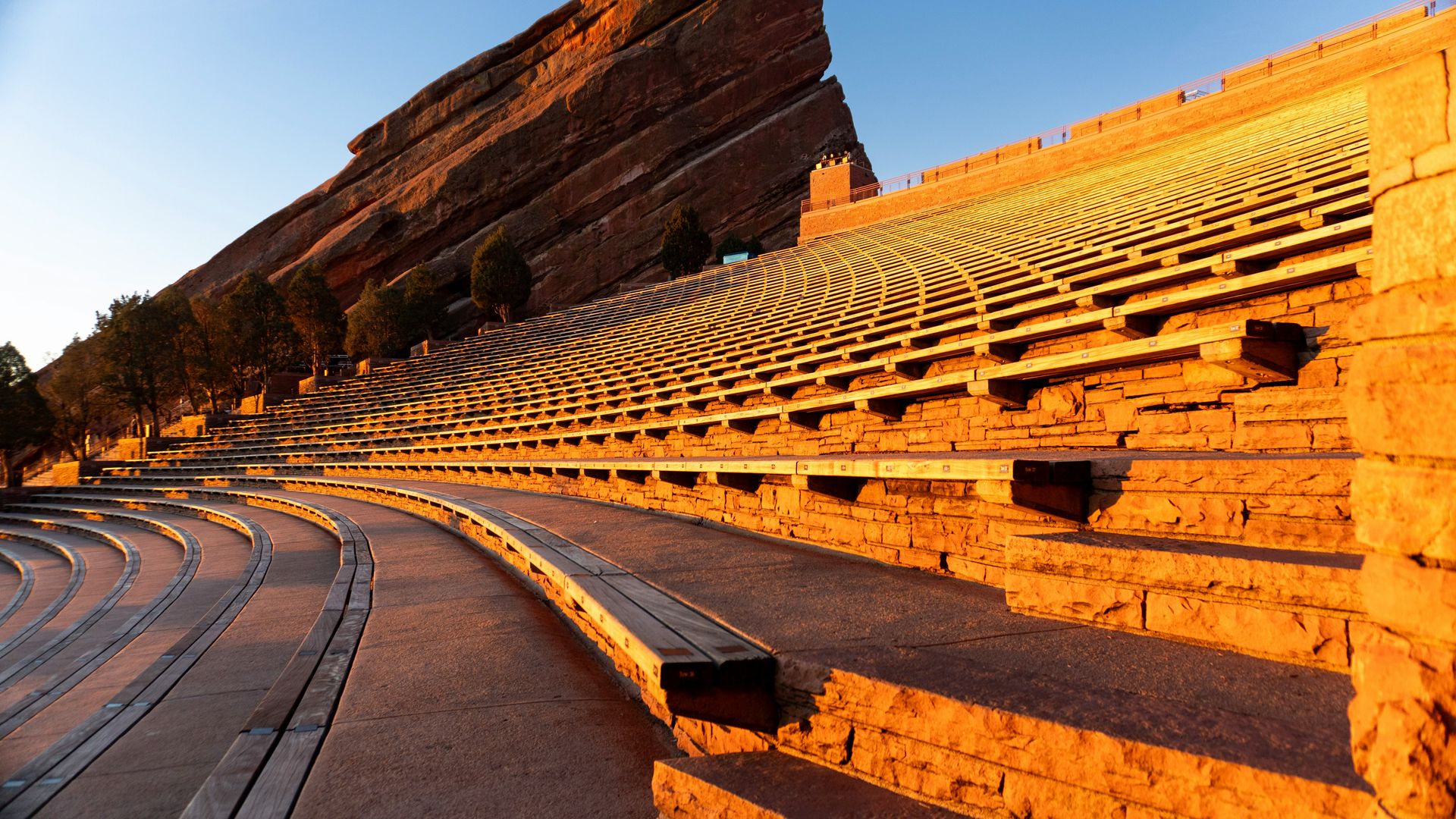
Red Rocks sits about 10 miles west of Denver among natural sandstone formations that rise from the ground in a configuration that creates extraordinary natural acoustics. The amphitheater seats around 9,500 people between two massive red sandstone fins, and the stage sits at an elevation that puts the Denver skyline on the horizon behind the performers. The specific quality of sound that the natural geology produces, a live acoustic phenomenon, not an electronic one, is what distinguishes Red Rocks from every other outdoor concert venue in the United States.
The amphitheater books through the full summer season with a schedule spanning rock, country, electronic, classical, and jazz, and the best seats tend to sell out weeks or months in advance for major acts. The daytime hiking trails that wind through the 743-acre natural park surrounding the venue give non-concert visitors access to the geology and views without a ticket, and the amphitheater itself is open during the day as a destination in its own right.
Beyond Red Rocks, Colorado’s outdoor concert circuit includes the Mishawaka Amphitheater tucked into the Poudre Canyon outside Fort Collins, with the Cache la Poudre River running immediately below the stage, and the Gerald R. Ford $F Amphitheater in Vail, which adds mountain views to a program that runs from late spring through early fall. Both are worth knowing about for summer dates when the Red Rocks schedule doesn’t align. The Colorado Symphony’s summer programming at Boettcher Concert Hall in Denver and the outdoor concerts at Chautauqua Park in Boulder provide classical music options that complement the rock and pop focus of the major amphitheaters, and Boulder’s Chautauqua specifically is one of the most pleasant summer concert environments in the Front Range. The Telluride Bluegrass Festival in late June is specifically worth planning around for music travelers who want the outdoor concert experience in a mountain setting more intimate and spectacular than Red Rocks, with the San Juan peaks forming a wall above the festival grounds.
3. Whitewater rafting on the Arkansas surges in early summer
Jackalope West / Unsplash
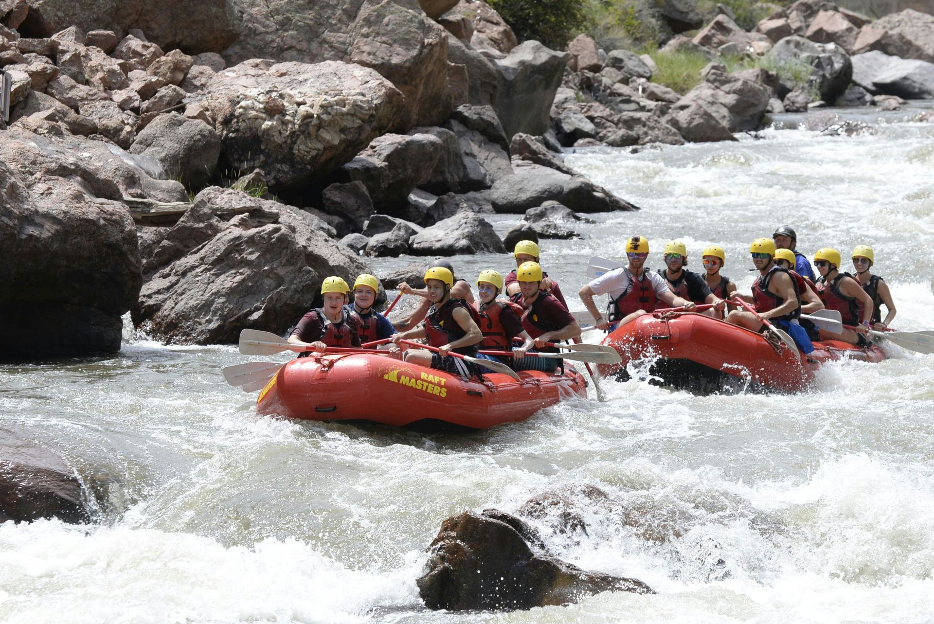
Colorado’s snowmelt-fed whitewater season is concentrated and high-quality, with the Arkansas River providing the most accessible and varied rafting experiences in the state. The towns of Buena Vista, Salida, and Cañon City all serve as departure points for stretches that range from mellow family floats through Class II water to the technical Class IV and V sections of the Royal Gorge. The season runs from late May through mid-July in most years, with the peak flow period producing the most dramatic conditions.
First-timers should book a guided half-day trip on one of the Arkansas’s moderate sections, which puts the experience within reach of families and groups who want the river without the technical demands of the expert water. Experienced paddlers looking for the full Gorge experience can book the Royal Gorge section independently through Echo Canyon River Expeditions or other licensed outfitters operating out of Cañon City.
Royal Gorge Cabins, adjacent to the rafting put-ins, offers glamping tents and vacation cabins that make a two-night Colorado River trip practical: raft one day, recover and explore the gorge the next. The Royal Gorge Bridge, which spans the Arkansas at a height of 955 feet above the water, is the highest suspension bridge in the United States and is visible from the river during the gorge section, which adds a specific visual scale reference to a stretch of water already notable for the canyon walls rising on both sides. The Numbers section of the Arkansas River upstream from Buena Vista is the most technically demanding commonly-rafted stretch in Colorado, with Class V water that requires a skilled team and appropriate experience. Most guided outfitters are honest about the experience requirements for this section, which is worth discussing before booking. The Arkansas River’s conditions vary significantly from year to year, depending on snowpack and release schedules from upstream reservoirs. Booking close to the travel date, when flow information is more current, produces a better match between conditions and expectations.
4. The Durango Silverton Railroad rides into the San Juans
Laura Seaman / Unsplash
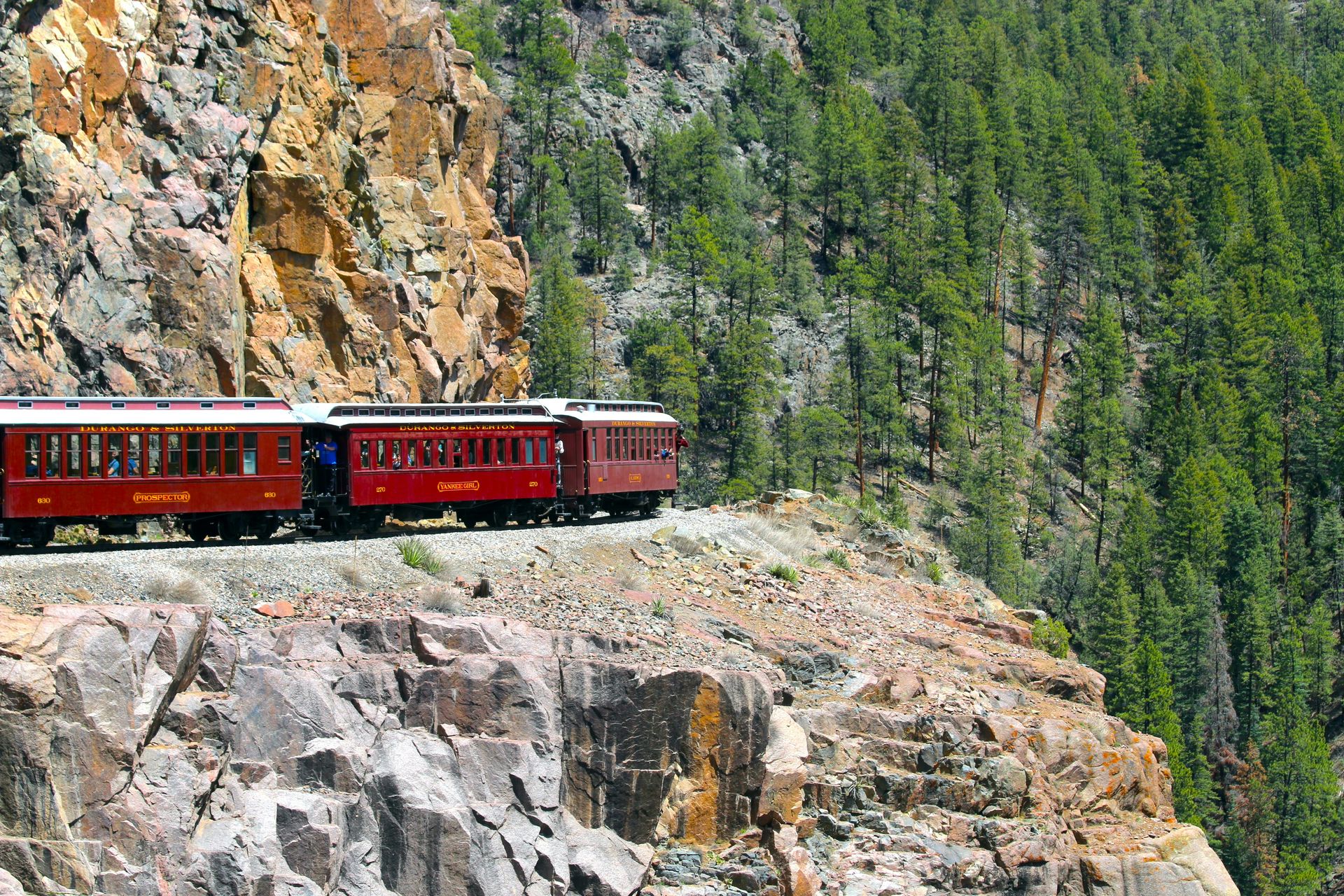
The Durango and Silverton Narrow Gauge Railroad has operated continuously since 1882, making it one of the longest-running heritage railway operations in the United States. The line runs 45 miles from Durango north into the San Juan Mountains, following the Animas River through wilderness accessible only by road to the historic silver mining town of Silverton at 9,318 feet. The journey takes about three and a half hours each way on a 19th-century steam locomotive, and mountain river canyon, old-growth forest, and high-country meadow scenery together make the full day feel appropriately spent.
The Silverton stop allows time for lunch and exploration of the town, which retains enough of its mining-era architecture and character to feel distinctly historic, not merely generic touristy. The mining museums and the general historical texture of the main street add context to the journey up. Booking well in advance is essential during peak summer weekends, when the railroad reaches capacity, and round-trip tickets sell out.
The San Juan Skyway, the scenic drive that connects Durango to Silverton by road over Molas Pass and Red Mountain Pass, is worth doing on a separate day to view the same mountain landscape from a different angle and at a different pace. A railroad journey one direction and a drive the other, with a night in Silverton between, produces one of Colorado’s more complete single-region experiences. The Durango and Silverton Railroad also offers a shorter Cascade Canyon Winter Train option during the colder months, which is worth noting for travelers who want the railroad experience outside the primary summer season, when summer crowds are at their peak. The Durango area beyond the railroad is worth two or three days in itself: the Mesa Verde National Park cliff dwellings are 35 miles west, the Colorado Trail begins near Durango and is among the finest long-distance hiking trails in the West, and the Durango food and brewery scene has developed substantially in the past decade.
5. Colorado’s geothermal hot springs suit summer recovery
Igor Oliyarnik / Unsplash
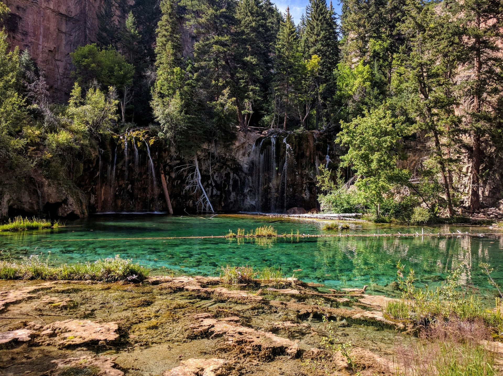
Glenwood Springs, roughly two hours west of Denver on I-70, anchors the most accessible hot springs experience in the state. The Glenwood Hot Springs Resort operates the world’s largest hot springs pool, a 405-foot pool fed by the Yampah spring that maintains a consistent temperature suitable for year-round use. Adjacent facilities include a second pool, waterslides, a splash area, and a hotel, making it a viable base for a multi-day Glenwood Canyon visit, not just a day stop.
The nearby Iron Mountain Hot Springs, a few miles from the main resort, runs a more intimate experience across 16 geothermal soaking pools of varying temperatures, each positioned to look out over the Roaring Fork River. The smaller scale and the variety of pool temperatures at Iron Mountain make it the preferred option for visitors whose primary goal is genuine relaxation, not the full resort experience of the main facility.
The historic Hotel Colorado in Glenwood Springs, which has operated since 1893 and hosted Theodore Roosevelt, Al Capone, and other notable guests over the years, is worth considering as an accommodation option. The hotel’s physical presence, modeled on the Villa Medici in Rome, with its grand fireplaces and ornate woodwork, gives Glenwood Springs stays a distinct historical character that newer resort properties in the area don’t offer. Hanging Lake, a turquoise lake perched on a ledge above Glenwood Canyon, accessible via a steep 1.5-mile trail, is one of the most visually stunning short hikes in Colorado and requires an advance, timed-entry permit that fills quickly during the summer season. Planning the permit booking before the rest of the Glenwood Springs itinerary is worth doing. Glenwood Canyon itself, the 12.5-mile gorge that the Colorado River carved through the uplift of the Rockies and that carries I-70 along its length, is one of the most dramatic highway corridors in the United States and is worth driving slowly in both directions to appreciate the canyon walls rising above the road.
6. Via ferrata routes open cliff climbing to beginners
Lionello DelPiccolo / Unsplash
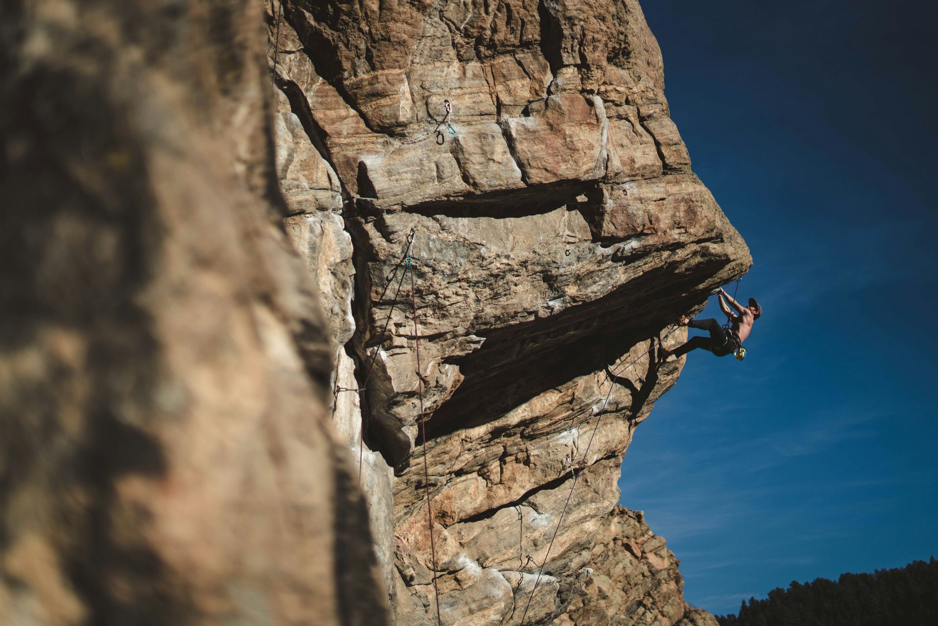
Via ferrata, Italian for “iron road,” is a climbing format developed by mountain troops during World War I to move quickly across vertical terrain. Fixed iron rungs, cables, and ladders are anchored permanently into the rock, and climbers clip a safety lanyard to the cable, which prevents a fall while allowing free movement across terrain that would otherwise require technical rope skills. The format has become one of Colorado’s fastest-growing outdoor activities precisely because it provides the sensation and exposure of cliff climbing without the years of technical training required by traditional rock climbing.
Guided via ferrata options in Colorado include routes at Arapahoe Basin, which uses the ski resort’s vertical terrain in summer for a different kind of mountain experience, and at the Royal Gorge Bridge and Park and Cave of the Winds Mountain Park near Manitou Springs. Each route has a different character, length, and exposure level, which makes choosing based on experience and comfort with heights worth doing before booking.
Telluride’s via ferrata route, which crosses a sheer cliff face on the mountain above town, is among the most dramatic in the state for the views it provides over the Telluride box canyon and the peaks surrounding it. The route requires a guide for first-timers and is typically done as part of a half-day mountain activity, not a full-day excursion, which makes it easy to combine with other Telluride summer programming. The Telluride Bluegrass Festival in late June and the Telluride Film Festival in early September are the two largest events in the town’s cultural calendar, and attending a via ferrata climbing experience alongside one of these festivals gives the visit a density of experience that justifies the travel time to one of Colorado’s more remote destinations. The Mine Shaft via ferrata in Ouray, another of Colorado’s mountain towns with significant outdoor infrastructure, provides a different character of route from Telluride’s cliff traverse and is worth knowing about for visitors who want to compare via ferrata experiences across Colorado’s mountain communities.
7. Scenic byways reach Colorado’s high-altitude ecosystems
Michael Kirsh / Unsplash
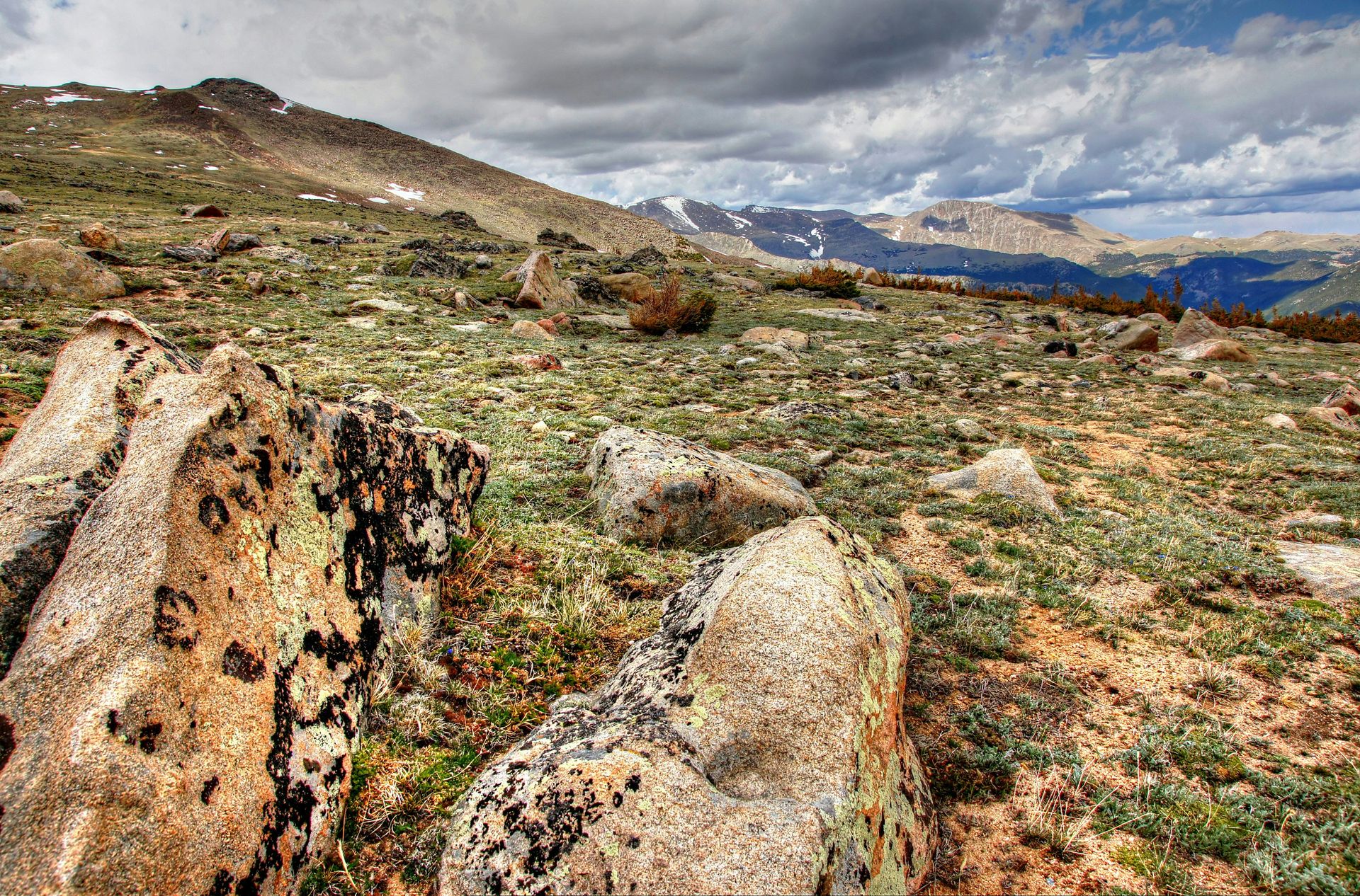
Colorado’s system of designated scenic and historic byways covers every region of the state and includes some of the highest paved roads in the Western Hemisphere. Trail Ridge Road in Rocky Mountain National Park climbs to 12,183 feet above sea level, crossing a stretch of alpine tundra above treeline that supports marmots, pikas, elk, and, on the western approach, occasionally moose. The road is typically open from late May or early June through mid-October, with the window depending on year-to-year snowpack conditions.
The Mount Blue Sky Scenic Byway climbs to 14,130 feet, making it one of the highest paved roads in the United States. The summit of Mount Blue Sky, formerly known as Mount Evans, is accessible by car to the small summit parking area, which makes a 14,000-foot altitude experience available to visitors who can’t hike to that elevation but want to understand what the high country feels and looks like. The ecosystems along the drive span ponderosa pine forest, subalpine meadow, and alpine tundra in sequence, with the transition zones worth stopping to explore.
Many of Colorado’s scenic byways have been equipped with DC fast charging stations at approximately 100-mile intervals as part of the state’s Colorado Electric Byways initiative, which makes electric vehicle road trips through the mountain regions logistically straightforward for the first time. The dual-port fast-charging infrastructure covers most major byway circuits and is worth checking before planning an EV road trip in Colorado. The Million Dollar Highway, a 25-mile stretch of US-550 between Ouray and Silverton in southwest Colorado, is widely cited as one of the most dramatic mountain driving routes in the United States. The road lacks guardrails on many of its most exposed curves, and the views of the San Juan peaks and the drop-offs below produce a driving experience that earns the road’s reputation. The Poudre Canyon route northwest of Fort Collins, following the Cache la Poudre River through a steep granite canyon, is a lower-altitude alternative byway for Front Range visitors who want a scenic drive accessible in a half-day without the high-mountain elevation of the most celebrated passes.
8. Colorado’s wild horse herds attract free-ranging visitors
Taylor Brandon / Unsplash
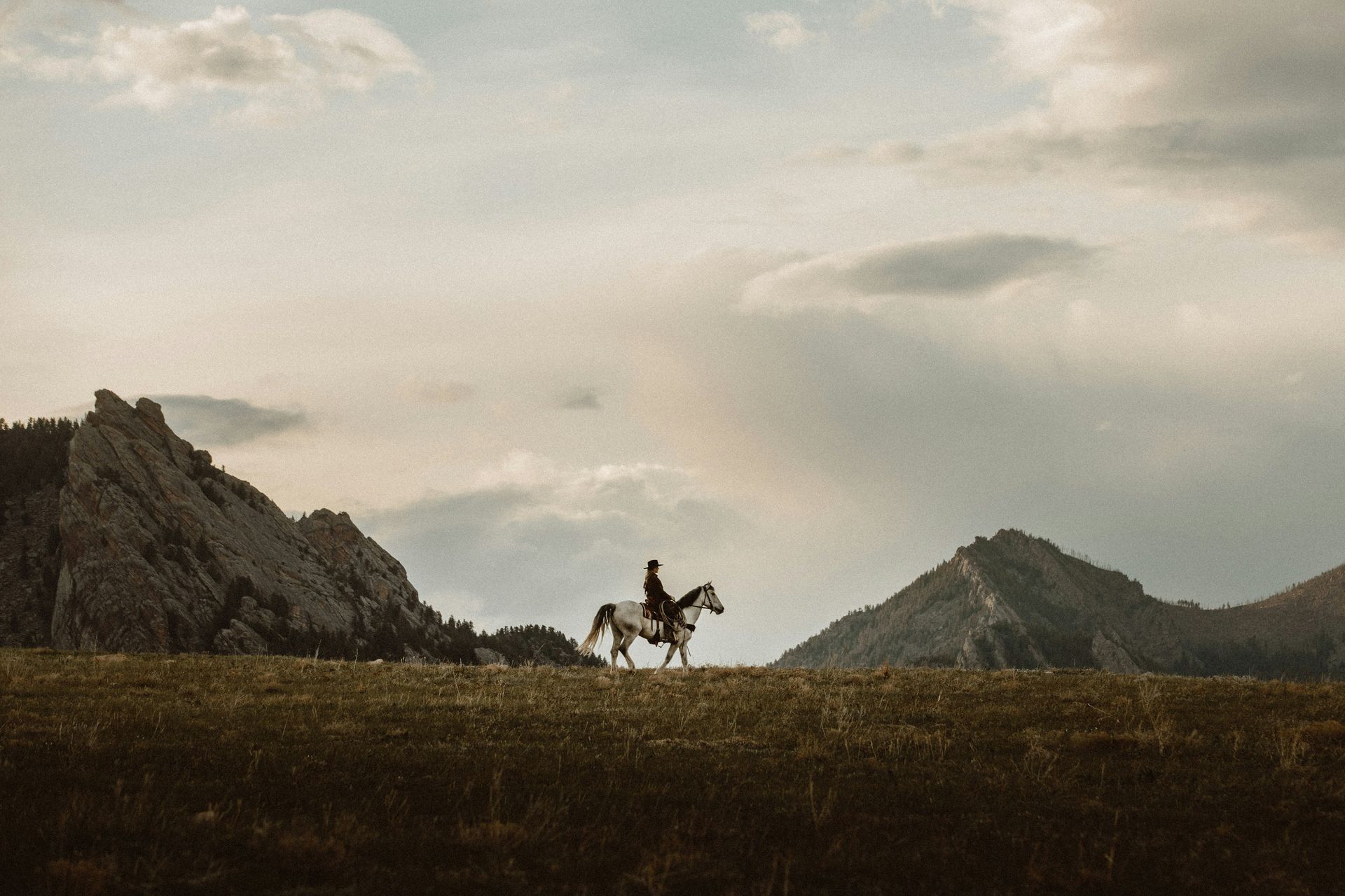
Colorado maintains four official wild horse herds under Bureau of Land Management oversight, and the most accessible for visitors is the Little Book Cliffs Wild Horse Range, a few miles from Grand Junction. The range covers more than 36,000 acres of open country and sustains a population of more than 100 horses across all ages and color patterns, including palominos, blue roans, paints, and appaloosas. The horses are genuinely wild and unmanaged, which makes sightings unpredictable and especially rewarding when they occur.
The other BLM herds at Sand Wash Basin and Piceance-East Douglas in northwest Colorado and Spring Creek Basin in southwest Colorado see fewer visitors than the Little Book Cliffs herd and require more driving to reach, but the lower visitor numbers produce a more immersive wildlife encounter when the horses are found. Sand Wash Basin, in particular, has developed a reputation among photographers for consistent herd sightings and the photogenic quality of the high desert landscape the horses inhabit.
The wild horse experience pairs naturally with the broader landscape of western Colorado, where Colorado National Monument’s red rock canyons, the wine country around Palisade, and the Grand Junction area’s outdoor dining and shopping scene create a multi-day itinerary that covers the region’s varied character. Bin 707 Foodbar in Grand Junction, from James Beard-recognized chef Josh Niernberg, is the strongest single restaurant recommendation in the area for visitors who want a serious meal after a day in the landscape. Colorado National Monument, just outside Grand Junction, is a canyon landscape of sandstone towers and mesa edges that is among the most undervisited National Monuments in the West despite being accessible directly from the city. A morning drive through the monument on Rim Rock Drive, followed by an evening at Bin 707, covers both the natural and culinary highlights of the Grand Junction area in a single day. The wine region around Palisade, a 15-minute drive east of Grand Junction, adds a third dimension to the area’s appeal: the Fruit and Wine Byway connects the Palisade wineries by bicycle through orchard country, and the regional wines, particularly the cabernet francs grown on the high-desert soils of the Grand Valley, are worth sampling specifically for the way the altitude and alkaline soils shape their character.
9. Gold Medal waters produce great fly fishing all summer
Morgan Rovang / Unsplash
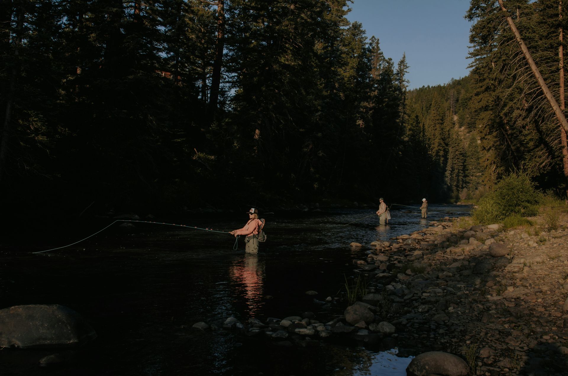
Colorado has nearly 325 miles of rivers and lakes designated as Gold Medal water by Colorado Parks and Wildlife, a classification reserved for water with exceptional trout populations and angling quality. The designation is specific: Gold Medal waters must have a minimum biomass of trout per surface area and meet quality standards that most rivers don’t. The stretches that earn the designation tend to produce reliable fishing for experienced and novice anglers alike.
Gore Creek in Vail is one of the more accessible Gold Medal stretches, running through the center of the town next to a paved recreation path that gives easy wading access at multiple points. The creek holds populations of both rainbow and brown trout, and local guide services, including Gore Creek Fly Fisherman, offer half-day and full-day guided trips that include equipment, instruction, and local knowledge of insect hatches and productive runs, which significantly improve catch rates for visitors unfamiliar with the specific water.
The Yampa River through Steamboat Springs, the South Platte River in the Deckers and Cheesman Canyon areas, and the Frying Pan River near Basalt are among the other Gold Medal waters worth knowing about for visitors specifically planning a Colorado fly fishing trip. Each river has a distinct character, and local fly shops in the nearest town are the best source of current hatch information, flow conditions, and access details that change seasonally and year to year. The Conejos River in the San Luis Valley, the Roaring Fork River near Aspen, and the Cache la Poudre River northwest of Fort Collins each have distinct characteristics and productive sections that reward dedicated fly-fishing trips tailored to their conditions. The Conejos, in particular, is less well known than the Gold Medal rivers in the central mountains and offers excellent trout fishing with significantly fewer anglers. The backcountry lakes above treeline in Rocky Mountain National Park, and the Weminuche Wilderness in southwest Colorado, provide high-altitude fishing experiences that require more hiking effort but deliver wilderness scenery alongside the fishing that the more accessible river stretches can’t match.
10. Colorado’s dark sky locations need no equipment to enjoy
Trevor Brown / Unsplash
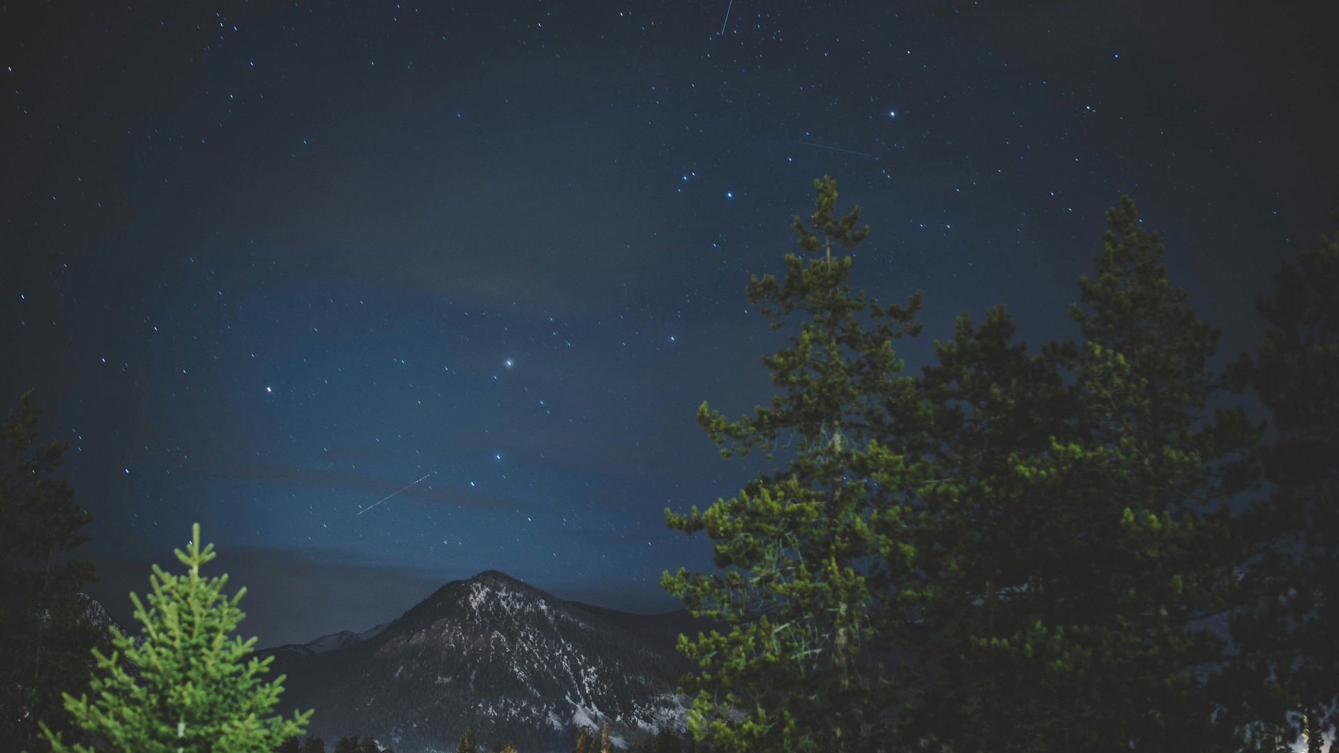
Colorado’s low light pollution, clear air, and high elevation combine to produce some of the best stargazing conditions in the continental United States. The state has more Certified Dark Sky Places than most other states, reflecting a deliberate commitment to dark sky preservation in national parks, state parks, and rural communities that has created a statewide stargazing infrastructure worth planning around.
Mesa Verde National Park in the southwest and Black Canyon of the Gunnison National Park nearby both hold International Dark Sky Park status, and both have archaeological or geological significance during the day,, alongside exceptional night sky quality in the evening, making both parks worth overnight stays, not day visits. Jackson Lake State Park in the northeast offers a northern plains dark-sky experience distinctly different from the mountain parks.
The Rocky Mountain Star Stare, organized by the Colorado Springs Astronomical Society each June near the town of Gardner, is a family-friendly event that includes astronomy lectures, outdoor activities, and organized night sky observation sessions with telescopes provided. The event gives visitors who lack their own equipment access to the kind of magnified night sky viewing that makes abstract knowledge of deep sky objects, galaxies, nebulae, and star clusters, visually specific in a way that unaided observation alone doesn’t produce. The Milky Way core is visible from most Colorado dark sky locations between late spring and early fall, reaching its maximum visibility and altitude in the southern sky from July through August. This window coincides with the summer outdoor recreation season, making combining a day of hiking or rafting with an evening of dark-sky observation a natural Colorado summer itinerary. The Milky Way photography community has developed substantial documentation of the best Colorado dark sky locations, including GPS coordinates for specific viewpoints with photogenic foreground subjects like old barn structures, mining ruins, and mountain silhouettes, which is worth consulting for visitors specifically interested in night photography. The Colorado Stargazing Trail, an official state tourism program, maps certified dark-sky locations across all regions of the state, providing information on accessibility, facilities, and the specific celestial objects most visible from each site, making trip planning considerably more structured than simply finding a rural area away from city lights.