From Nikko's autumn canyon foliage around UNESCO shrines to Yoshino's thousand cherry trees and a millennium-old pilgrimage route to Kumano
Credit: National Parks of Japan
Japan’s national parks span a range of ecosystems that feels improbable for a country this size. Simmering active volcanoes, coral-rich subtropical archipelagos, ancient pilgrim routes through sacred mountain forests, and vast Hokkaido wilderness with almost no tourist infrastructure all exist within the same island chain. The diversity stems from Japan’s geography: a volcanic arc stretching across several climate zones, producing distinct environments within a few hundred kilometers of each other.
The parks on this list cover the full range, from the subtropical Kerama Islands in Okinawa to the subarctic expanse of Daisetsuzan in Hokkaido, from the ornate UNESCO shrines of Nikko to the raw volcanic hiking of Kirishima-Kinko-wan in Kyushu. Each rewards a different kind of traveler and a different season. Daisetsuzan’s trail system belongs to summer and autumn hikers willing to leave the resort villages behind. Yoshino’s cherry blossoms are worth planning a Japan trip around if spring timing is possible. Nikko’s autumn foliage transforms the entire park into one of the country’s most photographed landscapes.
The seven parks below appear in Lonely Planet, written by James Gabriel Martin, covering Japan’s most rewarding protected landscapes from Kantō to Okinawa. The parks are listed roughly from south to north, but vary enough in character that the ordering reflects geography more than any hierarchy of quality. A trip built around two or three of these parks makes considerably more sense than attempting to visit all seven on a single journey. Japan’s rail network, particularly the Shinkansen system, makes jumping between regions genuinely practical, but the parks at opposite ends of the country, Daisetsuzan in Hokkaido and the Kerama Islands off Okinawa, are genuinely far apart and work better as separate, dedicated trips. A single Japan trip realistically covers one or two regions well, and choosing parks based on the season of travel and the type of experience, volcanic hiking, cultural pilgrimage, marine diving, or autumn foliage, produces a more satisfying trip than treating the list as a checklist.
Credit: National Parks of Japan
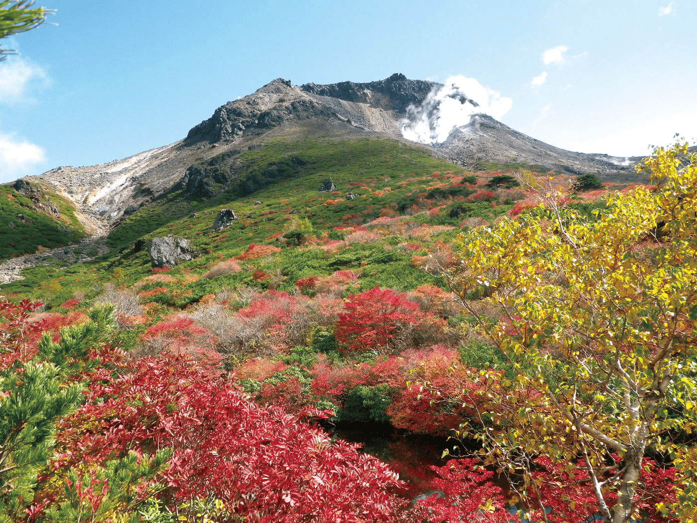
Nikko National Park anchors itself around Tosho-gu, one of Japan’s most elaborately decorated shrines and a UNESCO World Heritage Site. The broader heritage area contains hundreds of additional shrines and two Shinto temples alongside waterfalls, woodlands, volcanic mountain ranges, and lakes. The shrine complex alone justifies the trip at any time of year, but autumn transforms the surrounding landscape into something extraordinary. Setoaikyo Canyon, upstream from the river, turns into a display of fiery leaves across multiple shades of red and orange. Kinunuma Swamp, the highest swampland in Japan, takes on a particular stillness in the cooler months. Kegon-no-taki, one of the three highest waterfalls in the country, is accessible and photogenic year-round.
Wildlife encounters are genuinely possible here. Black bears and Japanese macaques both inhabit the park, and patient observers on trail walks regularly see the macaques, especially around the park’s forested edges, where food sources concentrate in autumn.
The proximity to Tokyo is one of Nikko’s most practical advantages: the park is roughly 2.5 hours from the capital by car, which makes it a long but viable day trip or, better, the anchor for a two-night stay that allows time to move beyond the main shrine complex into the surrounding wilderness. The day-trip crowds that arrive by bullet train and bus tend to concentrate around Tosho-gu, which means a few hours of trail walking puts you in substantially quieter territory. The autumn foliage window, typically late October through mid-November depending on the year and altitude, is the single most popular period to visit Nikko, and accommodation in and around the park area books out significantly in advance. Visitors who can arrive mid-week during the foliage season will find meaningfully smaller crowds at Tosho-gu and on the canyon trails. The Chuzenji Lake area, reached via the Irohazaka mountain road, is one of Nikko’s most dramatically scenic sections and combines well with a Tosho-gu visit on a second day, giving the trip a natural structure that avoids trying to cover everything in a single long day.
Credit: National Parks of Japan
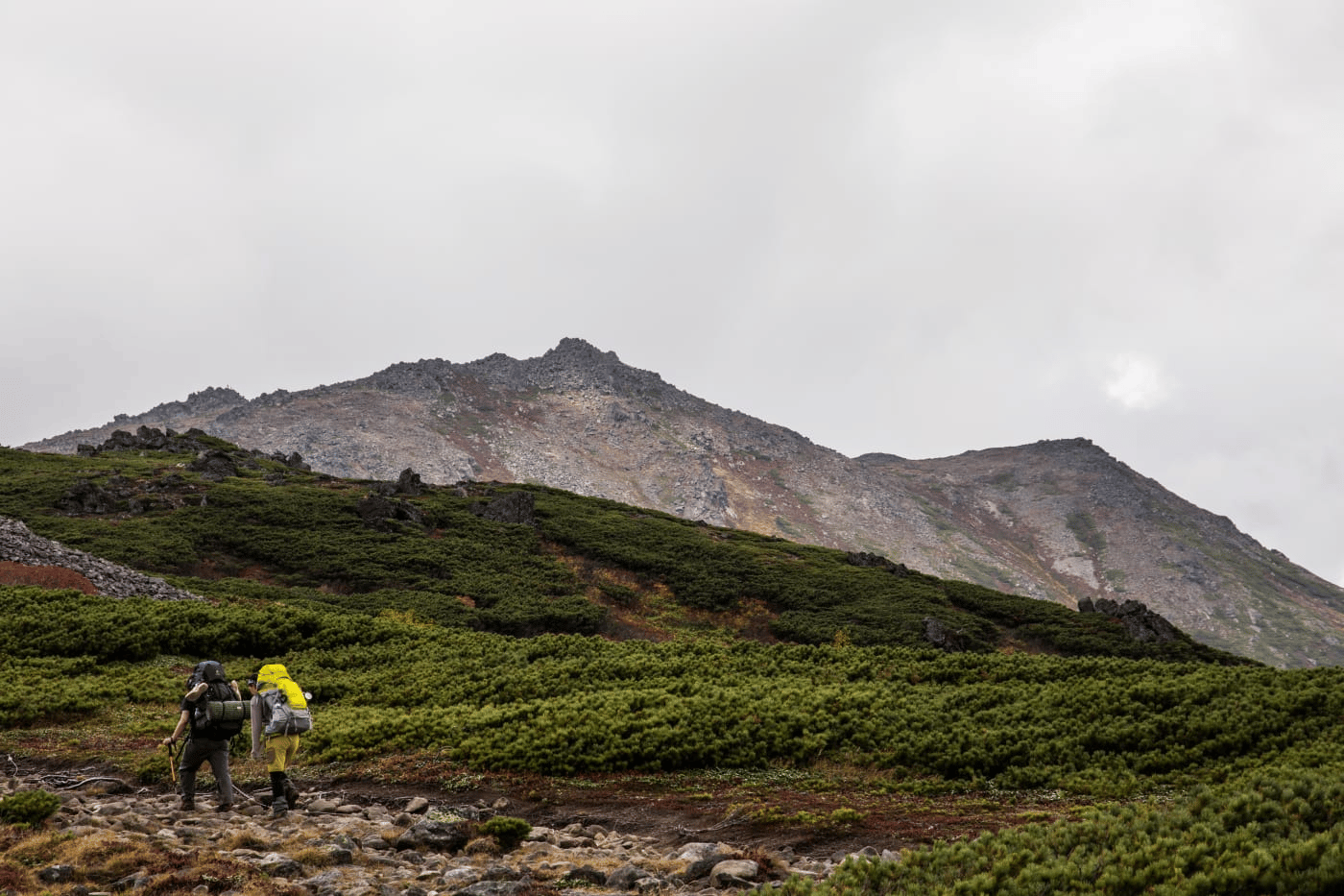
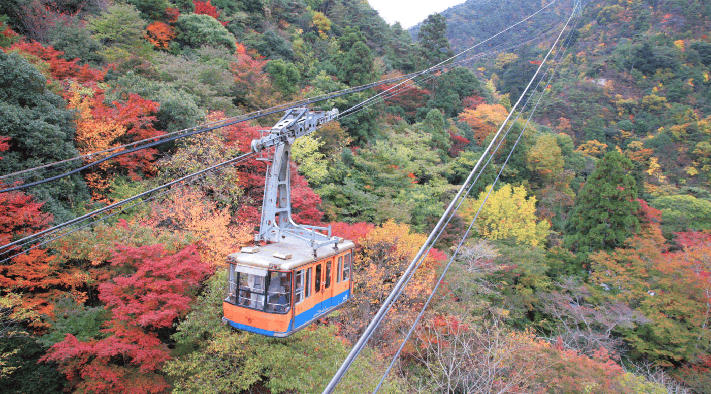
Daisetsuzan means “Big Snow Mountain,” and the name accurately describes the experience. Covering more than 2,300 square kilometers, this is a wilderness area of soaring peaks, active volcanoes, remote onsen, clear mountain lakes, and dense forests that see very few visitors once you move away from the hot-spring villages on the periphery. The park’s minimal tourist infrastructure is deliberately preserved: most access is by hiking, and the wilder interior sections require genuine preparation and multi-day commitment to reach.
The most accessible entry point is the scenic ropeway from Asahidake Onsen, which lifts travelers to the start of a 2.5-hour hiking trail to the summit of Asahi-dake. The ropeway makes the initial elevation gain straightforward, but the trail itself crosses volcanic terrain with steam vents visible from the path, giving the hike a specific geological drama that more conventional mountain routes lack. The surrounding hot-spring villages, accessible by bus from Asahikawa, serve as the practical base for multi-day exploration and as genuinely restorative stops after days on the trail.
Winter transforms the park into a skiing destination from November through May, with fresh snowfall on the volcanic slopes creating conditions that draw Japanese ski culture to its most serious level. The depth of snow that Daisetsuzan’s elevation and latitude produce is a significant draw for visitors who come specifically for skiing, not hiking, and the same ropeway that accesses the hiking trail in summer operates as a ski lift in winter. The park’s more remote interior trails, connecting mountain huts and crater lakes across volcanic terrain, require multi-day planning and bear awareness appropriate to Hokkaido’s large brown bear population. Trail conditions and bear activity reports are updated by the park authority and are worth checking carefully before any overnight excursion into the interior. The mountain huts scattered through Daisetsuzan’s interior make multi-day traversals possible for experienced hikers, but they require advance booking during the short July-August window when conditions are reliably favorable, and the window closes faster than Hokkaido’s other hiking seasons would suggest.
Credit: National Parks of Japan
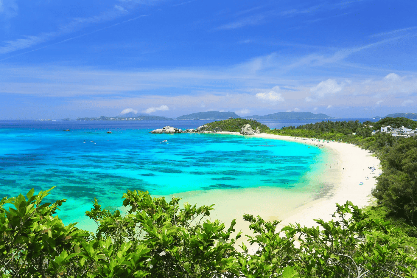
The Kerama Islands are 30 rugged and visually stunning landmasses arranged as an archipelago about 40 kilometers by boat from Naha, Okinawa’s capital. The surrounding waters are extraordinarily clear and shelter more than 250 coral species, making the Keramas one of the premier diving destinations in Japan and among the best in the western Pacific. Tropical fish and sea turtles are common sightings throughout the island chain, and the marine biodiversity and visibility together make even snorkeling above the reefs a compelling experience.
The largest island, Tokashiki-jima, is the most mountainous and draws the highest visitor numbers, with beaches, forest trails, and viewpoints spread across terrain that rewards both swimming days and active hiking. Zamami-jima offers a noticeably quieter and more relaxed experience for travelers who want beach access without the relative bustle of Tokashiki. In Geruma, the Takara Residence, known locally as Sendosuya or Captain’s House, is worth a detour for its preserved example of early Okinawan architecture.
Ferries depart daily from Naha’s Tomari Port to the main islands. On the islands themselves, bikes work well for flat, low-lying terrain, and e-bikes handle the hillier routes without reducing the experience to a purely mechanical challenge. The ferry journey from Naha is short enough that day trips are possible, but staying a night or two gives access to the reefs at dawn and dusk when marine life is most active, and the day-trip crowds have departed. Whale watching is seasonally available in the Keramas between January and March, when humpback whales use the protected waters around the islands for breeding. Whale watching season alongside the islands’ coral reef diving makes a winter visit to the Keramas considerably more compelling than the standard summer beach trip that most visitors plan. The Kerama Shades, the specific turquoise color of the water around the archipelago, is distinctive enough that it has its own name in Japanese: kerama blue. This color comes from the clarity and depth of water around the coral-rich reef formations, and it’s most vivid on calm, clear days when the sun angle is high.
Credit: National Parks of Japan
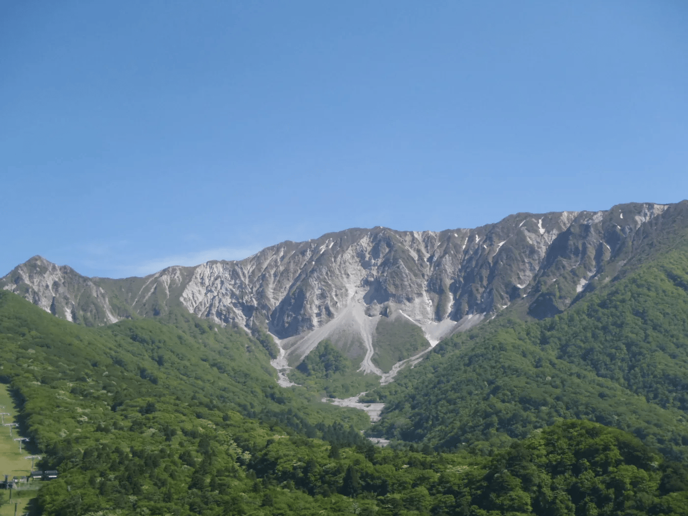
Daisen-Oki National Park spans three prefectures in western Honshu, Shimane, Okayama, and Tottori, and carries a specific spiritual history that shapes the experience of hiking through it. In the 8th century, the park’s mountains became central to Shugendo, a tradition of ascetic mountain fasting and prayer oriented toward spiritual refinement. That history is still physically present along the trails: shrines and temples appear along the paths through the sprawling beech forests, often in locations whose drama explains why pilgrims chose them for contemplation.
The park’s highest peak, Mt Daisen at 1,729 meters, is the dominant landmark in the eastern region, accompanied by Mt Senjo and Mt Mitoku. Each offers ancient pathways through the forest, varying in difficulty and historical depth. The conservation dimension adds another layer: Mt Daisen runs reforestation projects that welcome visitor participation, giving interested travelers a way to engage directly with the park’s long-term management.
The giant salamander, the world’s largest amphibian, lives in the park’s rivers and streams, and educational preservation experiences give visitors unusual access to an animal that most people never see. The Oki Islands, the park’s offshore component reachable by interisland ferry or the faster Rainbow Jet express service, offer a maritime counterpoint to the mainland mountain experience, with sea cliffs, traditional fishing communities, and the quiet of islands that remain genuinely off the standard tourist circuit. The giant salamander habitats on the mainland are among the most ecologically significant in Japan, and the preservation work at Daisen-Oki represents one of the more serious efforts among Japanese national parks to actively restore populations of an endangered species while making that effort accessible and educational for visitors who support it with entrance fees and volunteer participation. The mountain beech forest that covers much of Daisen-Oki’s Honshu section is particularly striking in autumn when the canopy turns, producing foliage displays that rival Nikko’s without the corresponding tourist density that Nikko’s Tokyo proximity attracts.
Credit: National Parks of Japan
Setonaikai was among Japan’s first officially designated national parks in 1934 and remains one of the country’s largest, spanning 11 prefectures across the Inland Sea region. The park’s defining character is the Seto Inland Sea itself: an enclosed body of water studded with small islands connected by scenic bridges that make the whole archipelago navigable by bicycle. Hiring a bike to explore these connected islets is the experience the writer specifically identifies as the real joy of Setonaikai, and it earns that description.
The major landmarks are genuinely spectacular. The floating torii gate of the Shinto shrine on Itsukushima, appearing to rise directly from the water at high tide, is one of Japan’s most photographed images and lives up to its reputation when seen from the ferry arriving from Miyajimaguchi. The Naruto Strait produces powerful whirlpools where rapid currents converge, and boats run close-up tours of the phenomenon at peak tidal flow. Along the Kunisaki Peninsula Long Trail, Daifudo Cave preserves a training site used by Buddhist monks over the centuries through ascetic practice.
JR Pass holders can use JR West Miyajima Ferry at no additional cost, which tends to make the competing private ferry service less crowded and produces its own practical advantage. Between roughly 9 a.m. and 4 p.m., JR ferries take a route that passes closer to the Great Torii gate, providing the signature view that the standard approach sometimes misses, depending on tide and positioning. The Shimanami Kaido cycling route, which crosses multiple Setonaikai islands via a series of suspension bridges between Onomichi and Imabari, is one of Japan’s most celebrated cycling itineraries and falls within the park’s broader area. Completing even a portion of this route gives cyclists a perspective on the Inland Sea’s island geography that neither boat tours nor viewpoints from the shore can match. The Setonaikai island communities, many of which have aging populations and shrinking agricultural economies, have invested in art and cultural tourism as part of a broader revitalization effort, producing a constellation of small museums, galleries, and installations across the islands that reward slow exploration over several days.
Credit: National Parks of Japan
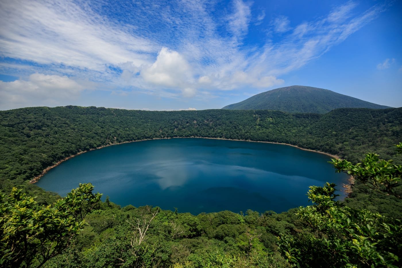
Kirishima-Kinko-wan National Park spans the volcanic prefectures of Kagoshima and Miyazaki in Kyushu, and its landscape reflects its geology at every turn. The Kirishima section alone contains more than 20 volcanoes, crater lakes, and hot springs, and the highest summit, Mt Takachiho, sits at the center of one of Japan’s most significant mythological sites: this is where, according to Japanese cosmology, the gods first came to earth. The views from the summit match the legendary framing, with panoramas across volcanic craters and the bay visible in clear conditions.
Japanese mythology credits this area with divine origin, which gives the hiking here a cultural weight that purely scenic routes lack. The trail up Mt Takachiho is strenuous, particularly on the volcanic scree sections that require careful footing and will destroy inadequate footwear. The Lonely Planet writer specifically advises cotton gloves for hand protection in case of a slip on the sharp rock, and trekking poles for knee support on the descent. These aren’t dramatic precautions for a technical climb. They’re practical adjustments for a trail whose surface conditions are genuinely more punishing than most.
Weather and volcanic activity both require advanced monitoring before any visit to Kirishima. The park is subject to rapid weather changes and occasional access restrictions around active vents, and checking current conditions through the Japan Meteorological Agency and park authority websites before setting out is essential, not optional. The southern Kinkowan Bay section offers a coastal contrast to the volcanic interior, rewarding visitors who have time for both. The park’s hot spring culture extends throughout the Kirishima region and the surrounding towns, and spending an evening in one of the traditional onsen facilities after a full day on the volcanic trails provides the kind of physical recovery that makes multi-day hiking plans genuinely sustainable. The park’s lower-elevation areas around Kirishima town itself provide an accessible base with good accommodation options and direct bus connections to the main trail access points, making Kirishima-Kinko-wan one of the more logistically straightforward volcanic hiking parks in Japan for travelers without a rental car.
Credit: National Parks of Japan
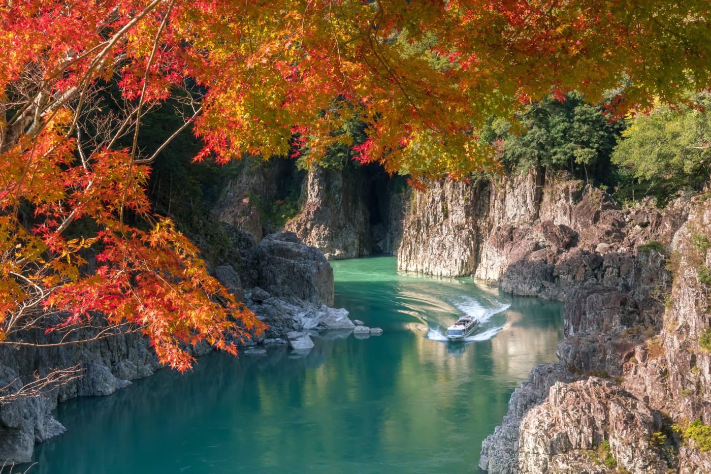
Yoshino-Kumano contains some of Japan’s most significant religious landscapes: the three great shrines of Kumano Sanzan, Kumano Hayatama Taisha, Kumano-Hongu Taisha, and Kumano-Nachi Taisha, which are connected by the ancient Kumano Kodo pilgrimage route, sections of which carry UNESCO World Heritage designation. Walking any portion of the Kumano Kodo connects travelers to a pilgrimage tradition stretching back over a thousand years, and the forest trails between shrines retain enough of their original character that the historical continuity feels genuine.
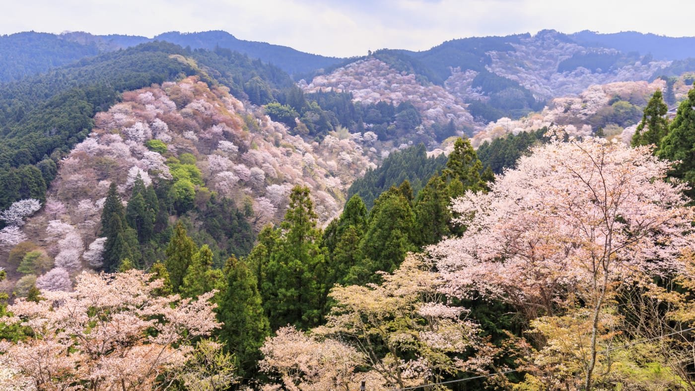
Yoshino, the park’s northern section, is one of Japan’s definitive cherry blossom destinations. The hitome-senbon viewing point, whose name translates roughly as “a thousand trees at a glance,” draws crowds during peak bloom in early April that are remarkable even by Japan’s standards for hanami enthusiasm. The timing of the bloom varies by year and elevation: the mountain’s different altitudes mean the blossoms open at different times as spring climbs the hillside, extending the viewing season beyond a single peak weekend.
Beyond the shrines and blossoms, the park contains Nachi-no-taki waterfall, the Dorokyo Gorge, and the Sandan-beki sea cliffs, where two kilometers of 50-meter precipices are accompanied by elevators descending to sea caves below. Most travelers access the Kumano Kodo from Kii-Tanabe Station on the peninsula’s western side, completing the route at Nachi-Katsuura or Shingu on the eastern coast. Both endpoints connect to Osaka via the JR Kinokuni line, which traces the peninsula’s rim in a journey worth taking for the coastal scenery alone. The Kumano Kodo pilgrimage route holds a UNESCO dual designation with Spain’s Camino de Santiago, reflecting official recognition of both routes as historically significant pilgrimage paths. Visitors who have walked the Camino will find the Kumano Kodo’s different cultural and physical environment, with denser forest, narrower paths, and more remote mountain shrines, a meaningful contrast to the more open Spanish route. The Nakahechi route of the Kumano Kodo, running from the Kii-Tanabe area to the three grand shrines, is the most historically significant and most commonly walked section, taking most hikers three to four days and crossing mountain passes that offer views down to the Pacific coast on clear days.
