From Caral's 5,000-year-old pyramids predating the Incas to Choquequirao's jungle-wrapped ruins reachable only by a four-day hike
Hans Luiggi / Unsplash
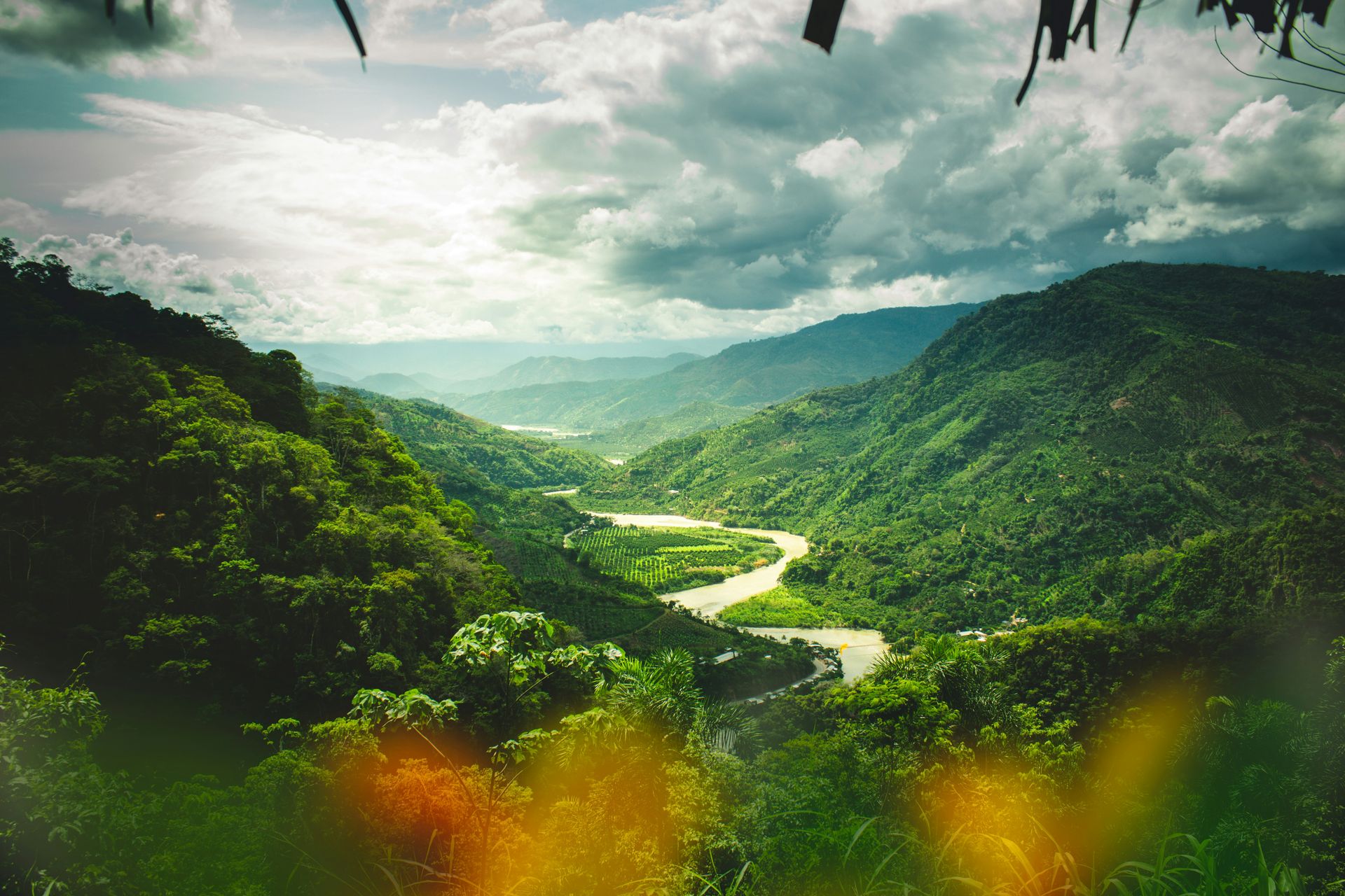
Peru rewards visitors who go beyond Machu Picchu. The country’s gastronomy has earned international recognition for good reason; its cultural legacy stretches back 5,000 years before the Incas even existed, and its biodiversity ranges from the Pacific coastline to Andean peaks to Amazon $AMZN rainforest within a single country’s borders. The terrain shifts dramatically depending on where you are: sky-scraping mountains in the Cordillera Blanca, untamed jungle in Madre de Dios, desert oases in Ica, and colonial cities built from volcanic rock in Arequipa.
The archaeological depth alone could occupy an entire trip. Pre-Hispanic civilizations built cities, fortresses, and temples across this terrain centuries before the Inca Empire existed, and many of those sites remain underexplored by international visitors who go straight to Cusco and Machu Picchu without detouring to Caral or Kuelap. Knowing where to start matters more in Peru than in most countries, simply because there’s so much worth seeing.
The 10 destinations below appear in Lonely Planet, written by Agnes Rivera, covering Peru’s essential mountains, deserts, jungles, and cities. The selections span the entire country, from coastal Lima to the high Andes to the Amazon basin, and several of them sit far enough off the standard tourist circuit that visiting requires genuine intent, not a default itinerary. A two-week trip can realistically cover four or five of these places without feeling rushed, though Peru’s distances and altitude changes mean internal flights are often more practical than overland travel between regions. Cusco and the Sacred Valley remain the logical anchor for most itineraries, with everything else built outward from there depending on time and interest. The country’s domestic flight network has expanded significantly in recent years, with new routes connecting regional hubs that previously required multi-day overland journeys, making it considerably more practical to combine far-flung destinations on a single trip than it was a decade ago.
Victor He / Unsplash
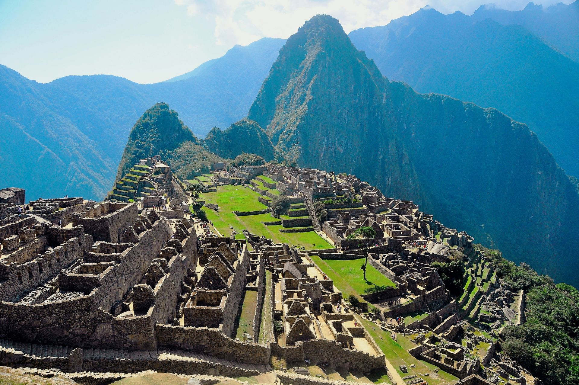
Machu Picchu earns its reputation as one of the New Seven Wonders of the World. The 15th-century Inca site sits 2,430 meters above sea level, built with a level of architectural precision that still confuses engineers trying to explain how the Incas moved and fitted stones this large without modern tools. The complex includes temples, residential quarters, and ceremonial platforms, all arranged with an attention to astronomical and geographic alignment that gives the site a deliberate, almost mathematical character beneath its mystical reputation.
The name means “old peak” in Quechua, and most visitors reach it by a two-hour train ride from Ollantaytambo in the Sacred Valley. The more demanding option is the classic Inca Trail, a four to five-day trek covering 42 kilometers along the same route that Inca messengers and pilgrims once walked. The trail requires permits booked months in advance during peak season, since daily visitor numbers are capped to protect the path.
The weather at Machu Picchu operates on two settings: heavy rain or intense, high-altitude sun, often within the same day. Rain gear and sunblock are not optional extras. The site’s elevation means temperatures can swing quickly once clouds move in, and the famous mist-shrouded photos of the ruins are usually taken in the minutes before a downpour. The site’s popularity means daily visitor caps are now strictly enforced, and tickets sell out weeks or months ahead during the June through August dry season. Visiting in the shoulder months, April or November, trades a slightly higher chance of rain for noticeably thinner crowds and a calmer experience among the ruins. Most visitors base themselves in Aguas Calientes, the small town at the base of the mountain, the night before climbing up at dawn to catch the site before the bulk of the day’s tour groups arrive. The early entry ticket, which opens the gates before the standard morning slot, costs the same as regular admission and is worth requesting specifically when booking. Huayna Picchu, the steep peak visible in most classic photographs of the site, requires a separate permit and a head for heights. The climb is short but exposed, and the views from the top justify the additional planning required to secure a spot.
Viajes con Astro Cartografía / Unsplash
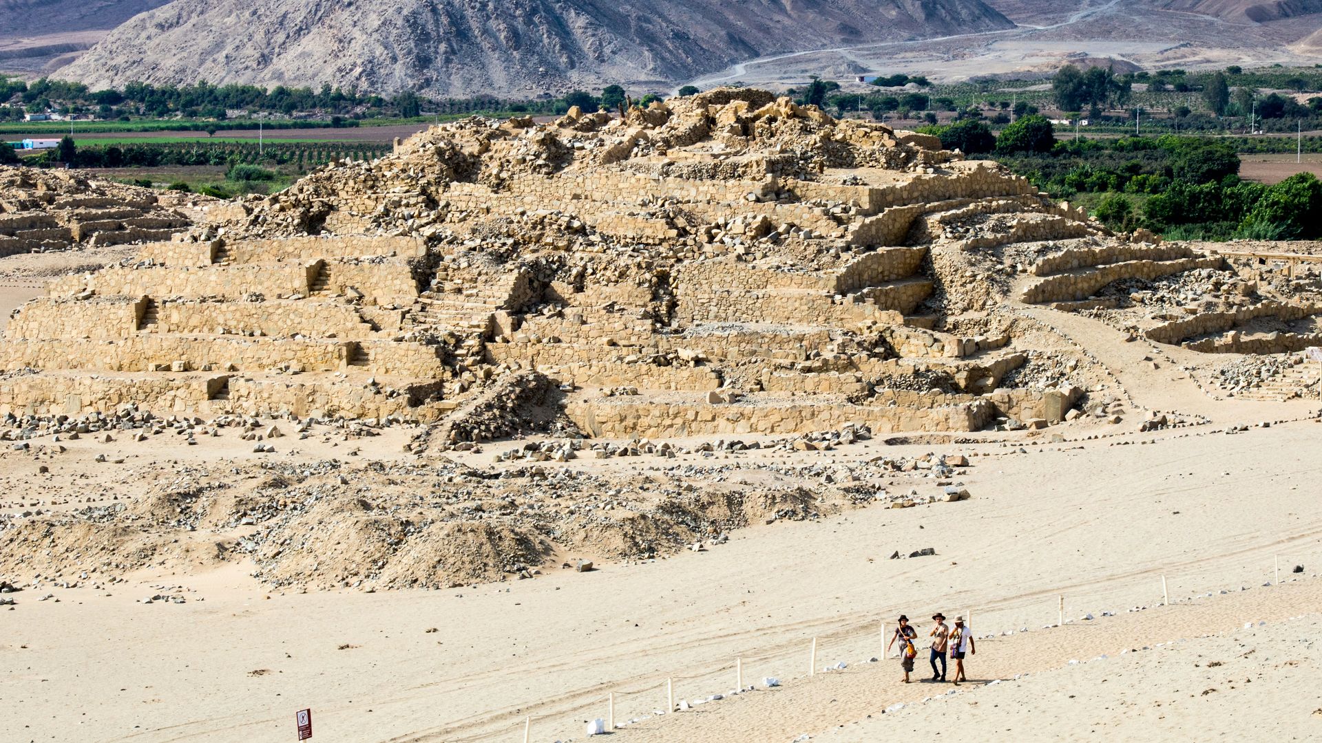
Caral is one of the least-visited sites in Peru relative to its actual historical importance, which is a genuine oddity. Built around 5,000 years ago in the high desert of the Supe Valley, a 3.5-hour drive from Lima, this UNESCO World Heritage Site predates ceramic pottery and the Inca Empire entirely. It’s the oldest known urban center in the Americas, and walking through it changes how you understand everything that came after.
The site reveals the moment Andean culture shifted from scattered tribal groups to an organized urban society. Mud-brick amphitheaters, ceremonial rooms, circular plazas, and the remains of six pyramids spread across the complex, all built by the Norte Chico culture, using urban planning and agricultural techniques that influenced every major civilization that followed in Peru, including the Incas.
A guide is essential here, both for context and for navigating a site without the infrastructure of better-known ruins. Without one, the mud-brick structures can look like undifferentiated rubble. With one, the layout reveals itself as a deliberately planned city whose builders were solving problems in water management, food storage, and ceremonial organization that no one in the Americas had solved at this scale before. Archaeologists continue to excavate sections of the site, and new findings periodically reshape understanding of how the Norte Chico culture organized labor, distributed food, and managed a population large enough to require such planning. The lack of fortifications anywhere at Caral is one of its more striking features: unlike most ancient cities, this one appears to have had no need for defensive walls, suggesting a level of regional stability rare in the early urban world. The site also produced some of the earliest known musical instruments in the Americas, flutes carved from condor and pelican bones, discovered in ceremonial contexts that suggest music played a formal role in Norte Chico religious life. Caral receives a fraction of the visitors that Machu Picchu sees in a single day, which makes the experience feel less like a tourist attraction and more like a genuine discovery, even though guided tours run regularly and the infrastructure for visitors is well established.
Elemaki / Wikimedia Commons (CC BY-SA 2.5)
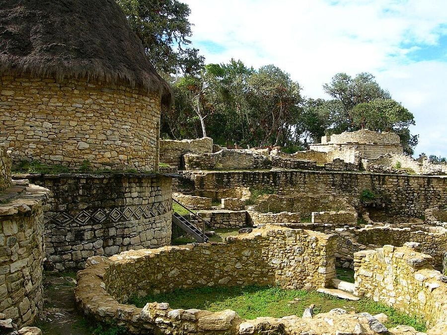
Kuelap has stood among the clouds in northern Peru’s Amazonas region since the 7th century, built by the Chachapoyas, a culture whose nickname, the Cloud Warriors, describes both their mountain-fortress architecture and their fierce resistance to Inca conquest. The walled settlement sits at 3,000 meters, higher than Machu Picchu, and predates the more famous citadel by at least 500 years. Hundreds of circular stone structures spread across the site, making it one of the largest collections of stone ruins anywhere in the Americas.
The Chachapoyas built defensively, and it shows: massive perimeter walls, narrow entry points designed to funnel and slow attackers, and a hilltop position that gives clear sightlines in every direction. The circular house foundations, many still decorated with geometric stone friezes, suggest a settlement that housed a substantial population, not just a military outpost.
Getting there used to require serious effort. Now a cable car runs from Chachapoyas directly to the site, turning what was once a multi-day expedition into an easy day trip. The cable car ride itself, suspended above deep river gorges and cloud forest, is worth the trip independent of what’s waiting at the top. The site’s preservation owes something to its remoteness: unlike many Inca-era ruins that were stripped for building material after the Spanish conquest, Kuelap’s distance from major colonial settlements left much of the original stonework intact. Local guides in Chachapoyas, many descended from families who’ve lived in the region for generations, bring a depth of context to the site that visitors touring independently tend to miss entirely. The Sarcófagos de Karajía, anthropomorphic burial sarcophagi perched on a cliff face not far from Kuelap, make a worthwhile add-on for visitors with an extra day in the region. The Chachapoyas culture’s funerary practices, distinct from both Inca and coastal Peruvian traditions, add another layer to a region whose archaeological richness extends well beyond the main fortress. Chachapoyas town itself, the regional base for most visitors, has a relaxed colonial center with decent hotels and restaurants, making it a comfortable place to spend a night or two while exploring the surrounding sites at a reasonable pace, rather than rushing through on a single long day trip.
Andy Salazar / Unsplash
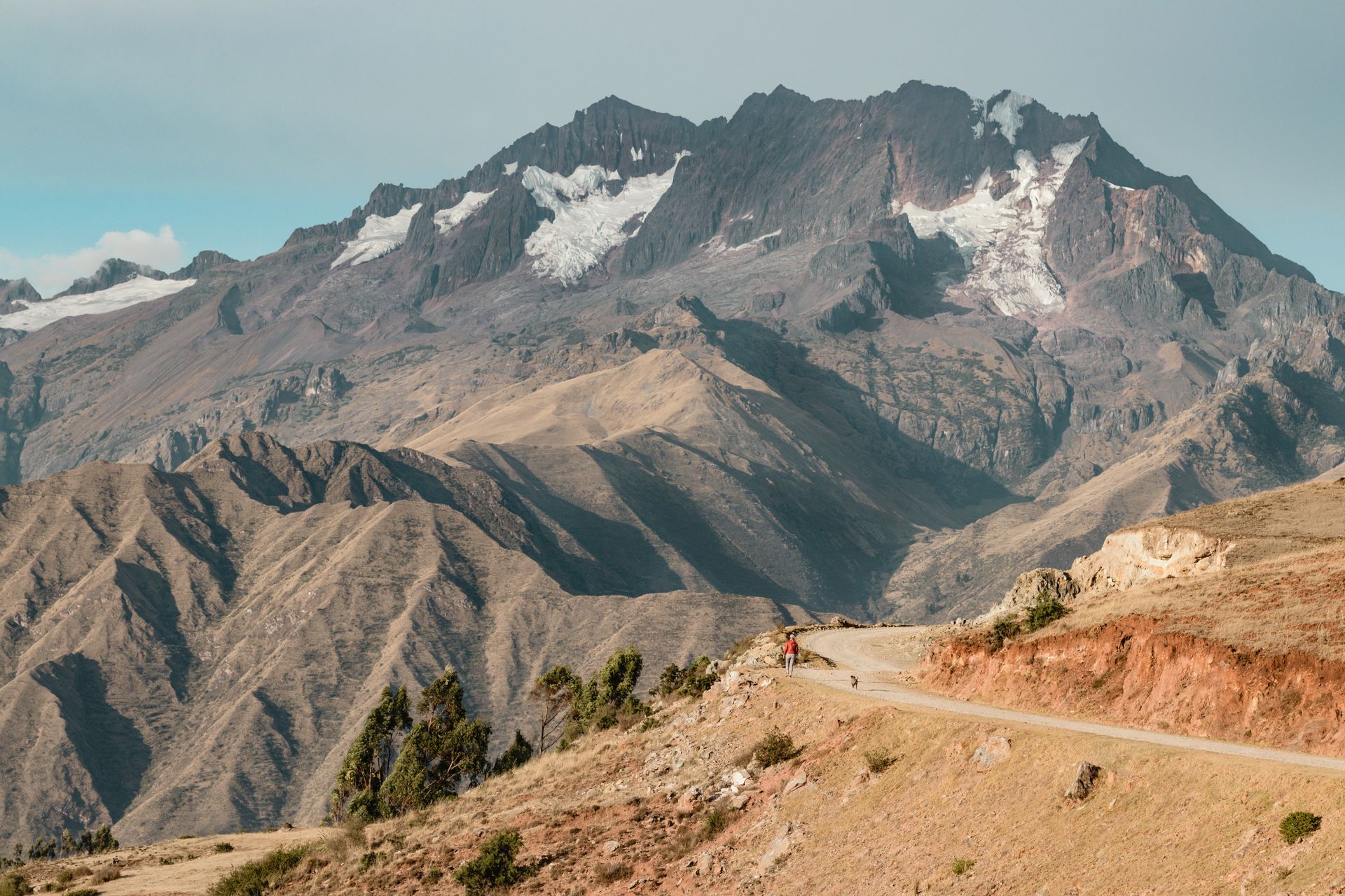
The Sacred Valley is the heart of the former Inca Empire and functions as the gateway to Machu Picchu, but travelers in a hurry to reach the famous citadel often miss the valley’s own substantial appeal. The villages here hold lesser-known archaeological sites, serious artisan workshops, and a living highland culture that’s easy to overlook when Machu Picchu is the only item on the itinerary.
Pisac, an hour from Cusco, has its own hilltop Inca citadel and one of the best handicraft markets in the region, where weavers and silversmiths sell their work directly, not through middlemen. Urubamba, to the northwest, has become the valley’s adventure sports hub: rock climbing, trekking, and downhill biking all operate out of town. Ollantaytambo, the neighboring village, is home to the fortress that shares its name, one of the few places where the Spanish lost a major battle against Inca forces.
Pisac has also become something else in recent years: a destination for an influx of expats and spiritual tourists seeking what they describe as an Andean Shangri-la. The local tourism industry has responded accordingly, with yoga retreats, cleanses, and guided ayahuasca ceremonies now operating alongside the traditional markets and ruins. The valley’s elevation, lower than Cusco by several hundred meters, makes it a sensible place to spend the first night or two of a Peru trip before attempting anything more strenuous at altitude. Chinchero, a smaller village often overlooked in favor of Pisac and Ollantaytambo, has its own Sunday market and a colonial church built directly atop an Inca temple foundation, a detail that captures the valley’s layered history in a single building. Maras and Moray, two sites near Chinchero, round out a fuller Sacred Valley itinerary: Maras has centuries-old salt pans terracing down a hillside, still actively worked by local families, and Moray has concentric agricultural terraces whose purpose, likely experimental crop cultivation at varying microclimates, remains a subject of ongoing archaeological debate. Both are easy stops on the way between Cusco and Ollantaytambo.
gonzolo iglesoas / Unsplash
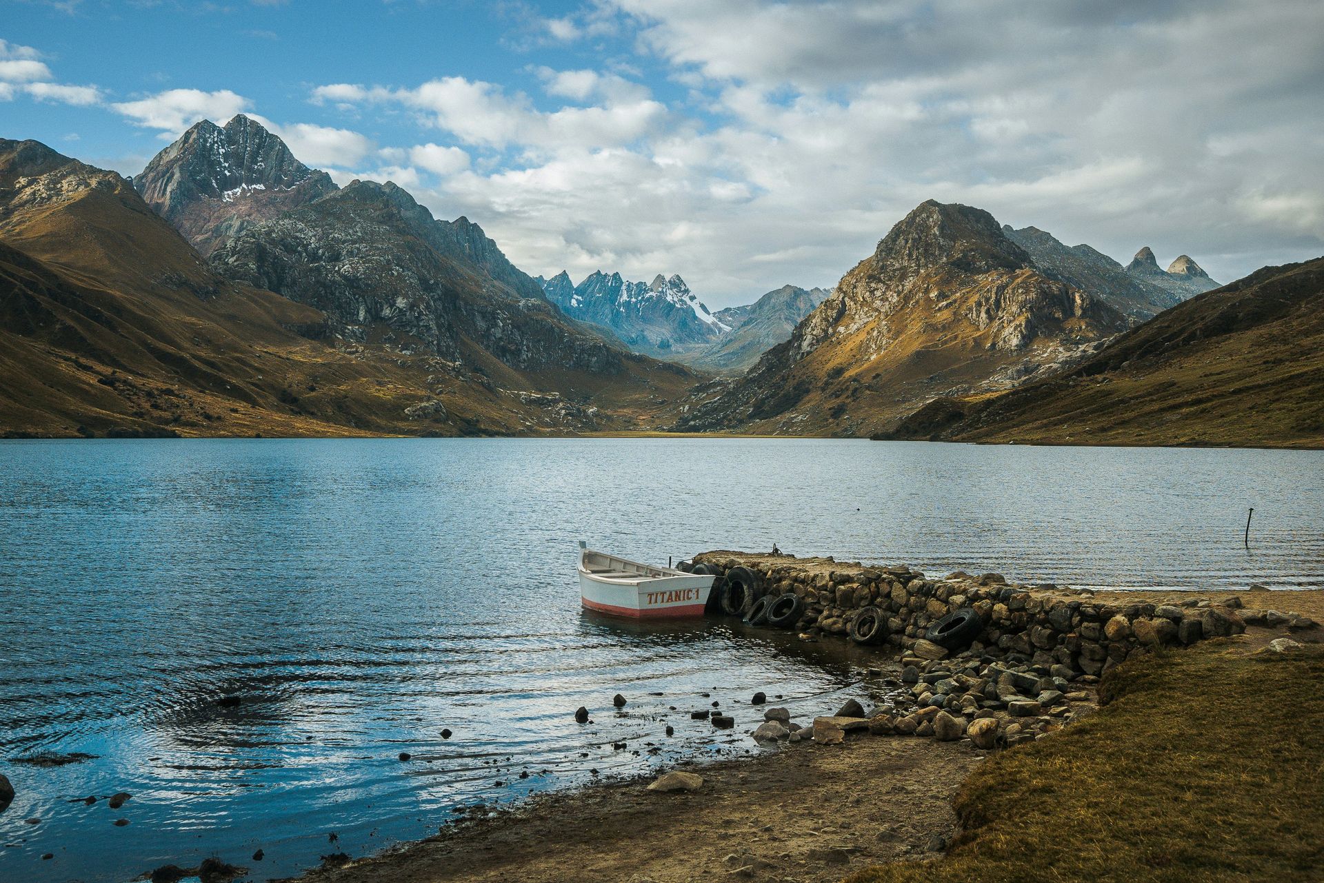
Huaraz sits beneath the Cordillera Blanca, one of the most dramatic mountain ranges on earth, and functions as the staging ground for Peru’s mountaineering and trekking scene. The town itself is unremarkable and low-key, which is precisely the point: nearly everyone here is using it as a base, not a destination.
The surrounding landscape moves from verdant valleys to snow-capped summits, with turquoise glacial lakes and natural springs scattered throughout. Experienced mountaineers aim for Huascarán’s 6,768-meter summit, Peru’s highest peak, a three-week expedition requiring great technical skill and acclimatization. Less ambitious visitors have plenty of options: day trips to Laguna Churup deliver spectacular alpine scenery without the multi-week commitment, and several moderate treks in the surrounding valleys suit hikers without mountaineering experience.
Altitude is the defining factor in any Huaraz itinerary. The town itself sits above 3,000 meters, and most of the surrounding trekking routes climb to considerably higher elevations. Spending a few days acclimatizing before attempting anything strenuous isn’t optional advice. It’s the difference between an enjoyable trip and a genuinely unpleasant one. Most visitors spend at least one full rest day in Huaraz before heading into the mountains, and the town has enough decent restaurants and a lively enough evening scene to make that downtime genuinely pleasant, not just a medical formality. Outfitters throughout town can arrange everything from single-day excursions to multi-week expeditions, and comparing a few operators before committing is worth the time, since guide quality varies considerably. The Cordillera Huayhuash, a separate range south of the Cordillera Blanca, offers a multi-day circuit trek considered by many experienced hikers to be among the most scenic in South America, rivaling anything in Patagonia. Laguna 69, a turquoise glacial lake reached by a demanding day hike from the Llanganuco valley, is the single most popular outing from Huaraz and earns that popularity through sheer visual payoff relative to the effort required. The town fills up considerably during the dry season from May through September, when trail conditions are at their best, and booking accommodation and guided treks ahead of arrival is worth doing instead of counting on availability once you’ve arrived.
Megan Kotlus / Unsplash
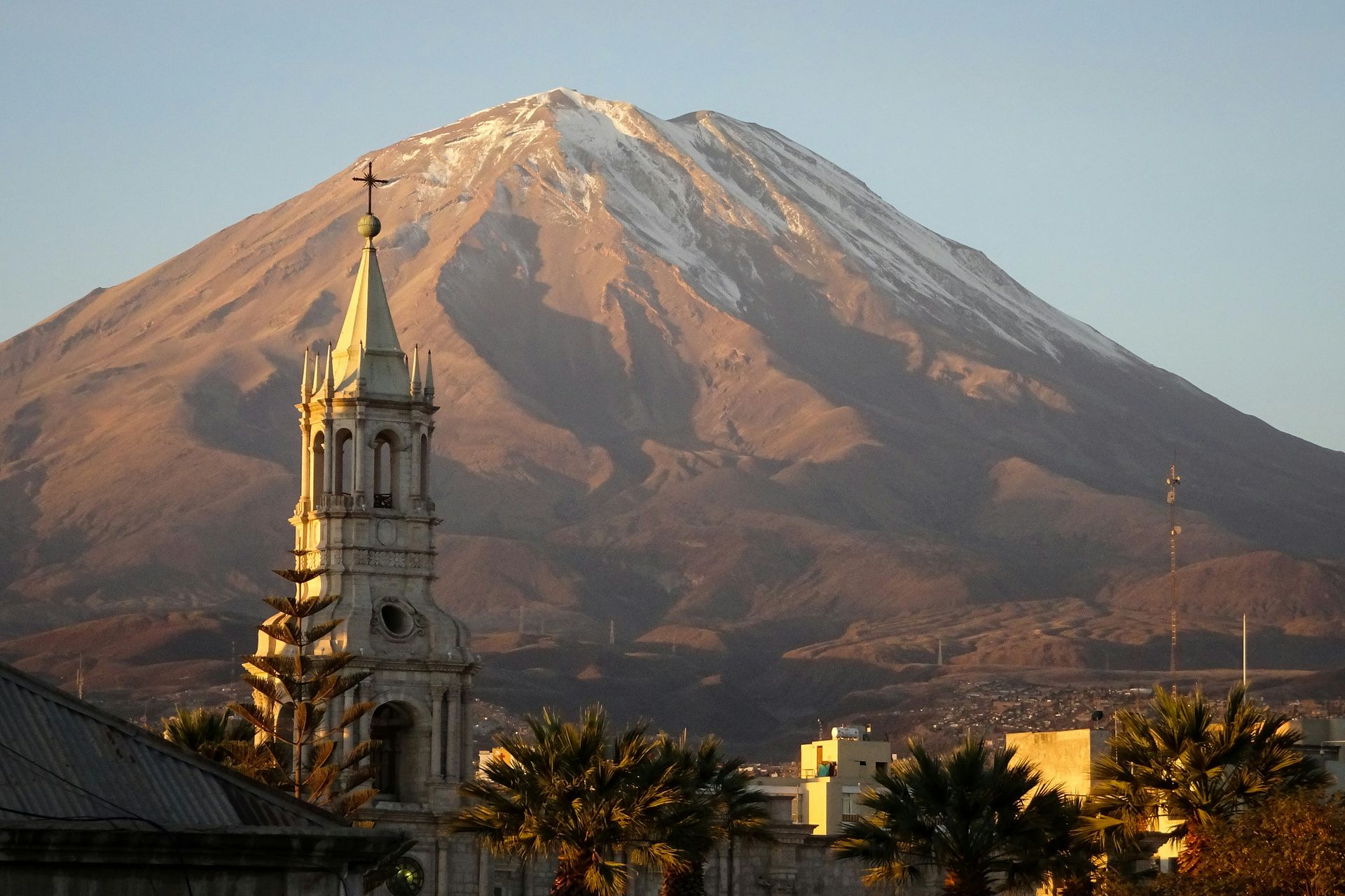
Arequipa earned its nickname, the White City, from the sillar volcanic rock used to build its colonial-era core, giving the historic center a pale, almost luminous quality, particularly at sunset. The main plaza’s chalky white buildings give way to deeper-hued landmarks nearby, including the blue-and-red Monasterio de Santa Catalina, built in 1579, and the city’s picanterías, traditional lunchtime restaurants serving some of southern Peru’s best regional cooking.
The Ruta del Sillar, on the city’s outskirts, traces the extraction and production of the volcanic rock that built Arequipa, along with the lives of the quarry workers who cut it. The route provides context for a city whose entire visual identity comes from a single material pulled from the ground nearby.
Colca Canyon, one of the deepest canyons in the world and a major trekking destination, sits within reach of the city. Visitors who time their arrival right can watch giant Andean condors launch from the canyon’s edge, riding thermals with a wingspan that makes the rest of the landscape look small by comparison. The condor viewing point at Cruz del Condor draws crowds early in the morning, when thermal currents are strongest and sightings are most reliable, and arriving before sunrise is the difference between watching condors soar at eye level and missing them entirely. Arequipa’s altitude, lower than Cusco's, makes it a more comfortable base than the Sacred Valley for travelers still adjusting to elevation, and the city’s restaurant scene, built around Arequipeño specialties like rocoto relleno, rewards a few extra days beyond the standard one-night stopover. The Santa Catalina monastery functions almost as a small city within the city, with cloisters, kitchens, and chapels spread across an entire block, and the nuns who lived there for centuries left behind enough domestic detail that a visit feels closer to walking through a preserved 16th-century neighborhood than touring a single building. Arequipa’s pisco sours, made with a local twist on the national cocktail, are worth seeking out specifically.
Michael / Unsplash
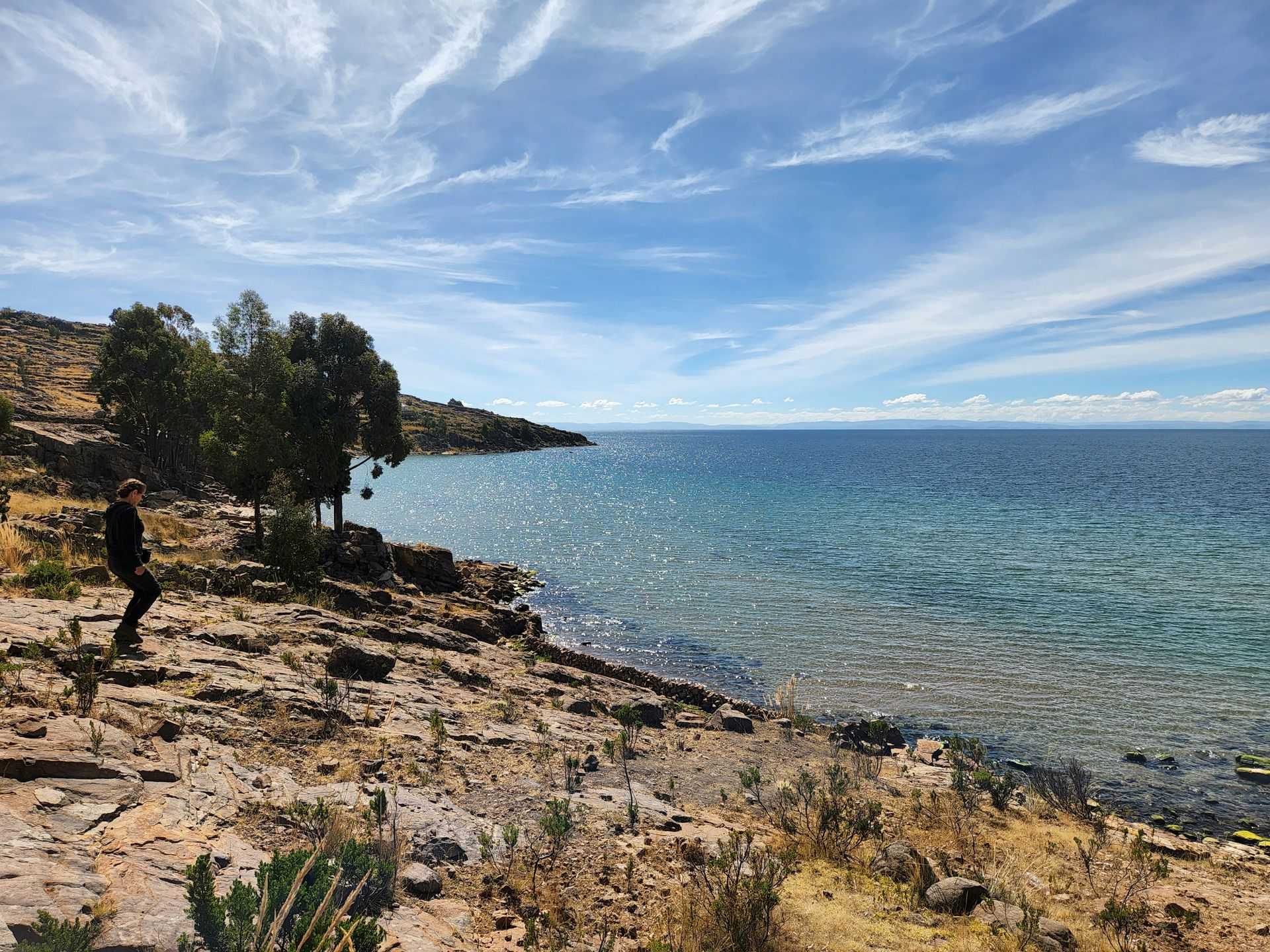
Lake Titicaca, straddling the border between Peru and Bolivia, held sacred status for the Incas, and Andean mythology places the lake as the birthplace of Manco Capac and Mama Ocllo, the first Inca rulers. The lake sits at 3,812 meters, the highest navigable body of water in the world, a geological fact that becomes viscerally apparent once you’re standing at the shore trying to catch your breath at altitude.
The floating reed islands are the lake’s most distinctive feature. The Uros people, who have lived on these handmade islands for generations, maintain a way of life built around traditional fishing and handicrafts. Tourism has become economically essential to these communities, and several families offer homestays for visitors seeking more than a brief boat tour.
Three boat types serve the lake, each with a different speed and price point: veloz high-speed boats, lancha rápida speedboats, and embarcaciones artesanales, traditional wooden boats that take roughly twice as long as the faster options. Warm layers are essential regardless of boat choice, since the lake’s altitude means cold wind even on sunny days, particularly once the boat is moving. Puno, the Peruvian city on the lake’s shore, serves as the standard departure point for most tours, and multi-day itineraries that include an overnight homestay on one of the islands offer a meaningfully deeper experience than the rushed day-trip version most large tour groups run. The lake’s scale is easy to underestimate from photographs: it covers more than 8,000 square kilometers, and the far shore is invisible from most points along the Peruvian side. Taquile Island, farther from Puno than the floating Uros islands, offers a different experience: a permanent stone-built community whose textile traditions earned UNESCO recognition, and whose hilltop walks reward visitors with sweeping views across the lake toward the snow-capped peaks of the Bolivian Cordillera Real in the distance. Puno itself hosts one of Peru’s most spectacular annual festivals, the Virgen de la Candelaria in early February, when thousands of dancers in elaborate costumes fill the streets for days of parades and music that draw visitors from across the country.
Guthrie Kuckes / Unsplash
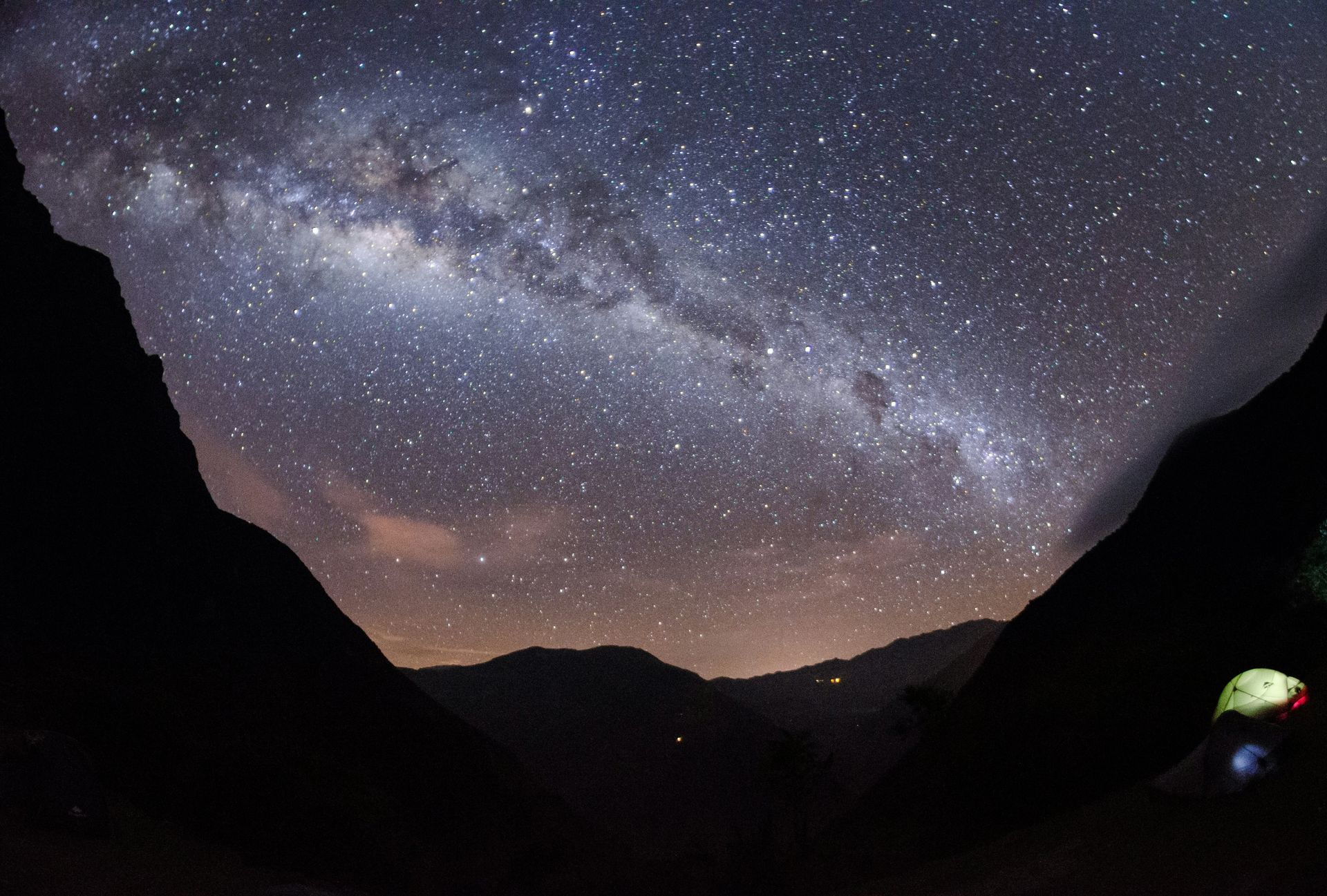
Choquequirao is often called a mini-Machu Picchu, which undersells it: the site is actually at least twice as large as the famous citadel and structurally similar. The only thing genuinely smaller about Choquequirao is the visitor count, a direct consequence of the access required to get there.
Reaching Choquequirao means a minimum four-day round-trip hike with steep, sustained climbs, a filter that keeps away all but the most committed hikers. The site sits at 3,050 meters, much of it still wrapped in thick jungle foliage that excavation has only partially cleared. Its Quechua name translates to “cradle of gold,” and finding this much history with almost no other tourists in sight feels close to literal treasure-hunting.
The trail has no reliable water sources for long stretches, and the available water isn’t potable without treatment. A water filter is essential gear, not a nice-to-have, and filling up whenever a water source appears is the only practical strategy on a route where the next opportunity might be hours away. The hike’s elevation gain and loss is brutal in both directions: the trail drops nearly 1,500 meters into the Apurímac canyon before climbing back up to the ruins, meaning every visitor experiences the descent’s relief followed immediately by the ascent’s grind. Camping along the route is the standard approach, with basic facilities at a few designated stops, and most guided tours include mules to carry the heavier gear so hikers can focus on the trail itself. Plans have circulated for years to build a cable car to Choquequirao, similar to the one now serving Kuelap, which would dramatically increase visitor numbers and fundamentally change the character of the site. For now, the hike remains the only way in, and that barrier is precisely what keeps the experience so different from the crowded reality of Machu Picchu. Hiring a local guide from Cusco or one of the nearby villages is strongly recommended, given the trail’s difficulty and the remoteness of help if something goes wrong, and most guides also carry detailed knowledge of the ruins that significantly enriches what would otherwise be a quiet, unstaffed site.
-900x506.jpg)
Heiner Amado Cadillo / Wikimedia Commons (CC BY-SA 3.0)
Oxapampa was founded by Austrian and German colonists in the 19th century, and the result is one of the stranger architectural combinations in Peru: Tyrolean-style buildings surrounded by Amazonian jungle. The main plaza retains the alpine character its founders brought with them, while the mountainsides just beyond town are pure cloud forest, best explored on foot or by bike.
Yanachaga-Chemillén National Park sits a short distance away, adding serious hiking and wildlife viewing to a town whose European architectural quirks might otherwise be the main draw. A wave of new residents, largely relocating from Lima over the past decade, has brought fresh investment into sustainable tourism ventures and renewed energy behind Selvámonos, the town’s annual music and culture festival.
Pozuzo, an 80-kilometer bus ride away, is Oxapampa’s smaller and older sister town, founded by the same wave of European colonists. It hosts its own version of Oktoberfest, called Pozuzofest, a genuinely unexpected cultural event to find this deep in the Peruvian Amazon $AMZN. Both towns sit within the broader Pasco region, an area still largely overlooked by international tourism despite its accessibility from Lima, a roughly seven-hour drive or a short domestic flight followed by a transfer. German and Austrian colonial heritage layered onto Amazonian biodiversity produces a genuinely unusual combination that few other places in South America can replicate. Local cuisine reflects the same blend: alongside standard Peruvian Amazonian fare, Oxapampa’s restaurants serve German-style sausages, beer brewed in small local breweries, and pastries that wouldn’t look out of place in an Austrian alpine town, all served within sight of cloud forest and macaw flocks. The Selvámonos festival, held annually and drawing performers and visitors from across Peru, has grown enough in recent years that booking accommodation well ahead of the dates is now genuinely necessary, not optional, a sign of how far the town’s profile has risen beyond its original status as a curiosity worth a brief detour on the way to somewhere else.
Andres Urena / Unsplash
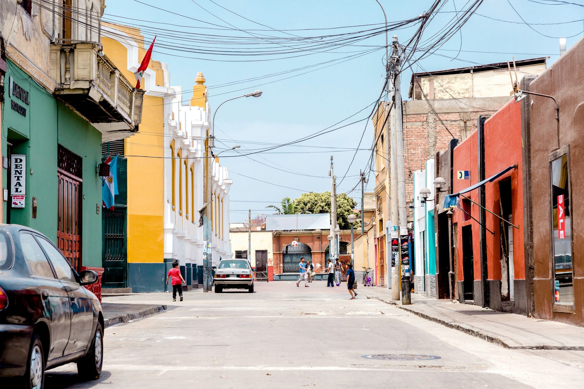
Barranco is the coastal Lima neighborhood that locals and visitors alike agree is the city’s most interesting place to spend an evening. The district is walkable, lined block after block with boutique shops, bars, and cafes, and home to some of the most internationally celebrated restaurants in the country: Central, Kjolle, Isolina, and Merito all operate here.
Artists live and work throughout Barranco, which means a gallery or exhibit is rarely more than a few blocks away. Jade Rivera World specializes in street-art-inspired pieces, the Museo de Arte Contemporáneo anchors the neighborhood’s more formal art scene, and smaller artisan shops like Puna, Dédalo, and Las Pallas round out a shopping circuit that rewards an unhurried afternoon.
Friday and Saturday nights belong to Parque Municipal, where vintage bars, converted mansions, and chic lounges fill with locals drinking pisco cocktails until late. The neighborhood’s nightlife has a specific texture: bohemian without trying too hard, lively without becoming a tourist circuit, and genuinely beloved by the residents who actually live there. The neighborhood’s street art deserves its own slow walking tour: murals cover entire building facades throughout Barranco, many commissioned, some not, and the quality and density rival any street art scene in South America. The Puente de los Suspiros, the Bridge of Sighs, is a small wooden footbridge that has become the neighborhood’s most photographed spot, particularly at sunset when the light over the Pacific turns the sky orange behind it. Barranco sits close enough to Miraflores, Lima’s more polished and touristy neighboring district, that combining both in a single day is easy, but the two have distinct personalities: Miraflores is glass towers and shopping malls, Barranco is converted mansions and graffiti-covered walls, and most visitors who spend time in both end up preferring Barranco’s rougher, more lived-in character. Central, chef Virgilio Martínez’s restaurant exploring Peru’s biodiversity through a tasting menu organized by altitude, has earned global recognition and routinely ranks among the best restaurants in the world, making a reservation here one of the more sought-after dining experiences anywhere in South America.
