A few specific places on Earth contain a disproportionate share of all known species — and understanding why those places are so productive explains a great deal about how life works
Nando Freitas / Pexels
Biodiversity is not evenly distributed across the Earth's surface. Of the estimated eight to ten million species of plants, animals, fungi, and microorganisms that exist on Earth, a disproportionate share — the estimates vary but consistently suggest that more than half of all described species occupy less than 2% of the Earth's land surface — is concentrated in a small number of specific ecosystem types. These are not simply the largest ecosystems or the most ancient ones; they are the ones whose specific combinations of climate, geology, water, and evolutionary history have produced the conditions under which new species form fastest, existing species persist longest, and the interactions between species generate the complexity that characterizes the most productive biological communities on Earth.
Understanding why biodiversity concentrates where it does is one of the central questions of ecology, and the answers are multiple and interacting. Stable climates over long geological periods allow species to accumulate without the periodic extinction events that reset diversity in harsher environments. High primary productivity — the amount of solar energy converted into organic matter by plants — supports more species at every level of the food web. Structural complexity in the habitat — the three-dimensional architecture of a forest canopy or a coral reef — provides more distinct niches for different species to occupy. Geographic isolation produces speciation. The convergence of multiple habitat types at their boundaries — ecotones — supports species from adjacent communities simultaneously.
This list covers 15 ecosystems that exemplify these principles — environments whose specific characteristics have made them among the most species-rich places on Earth, and whose loss or degradation would represent a disproportionate reduction in the planet's total biological diversity. Several are formally recognized as biodiversity hotspots under the criteria developed by ecologist Norman Myers and subsequently adopted by Conservation International: areas that contain at least 1,500 endemic vascular plant species and have lost at least 70% of their original habitat extent. Others are not formally designated as hotspots but are among the most ecologically productive and biologically diverse environments known.
Each slide covers what the ecosystem is, why it is so biologically productive, what it contains, and the specific pressures it faces. The pressures are real and in most cases severe. The ecosystems on this list are not static museum pieces — they are dynamic, threatened, and in many cases shrinking faster than the species they contain can be described.
Edy Ramirez / Pexels
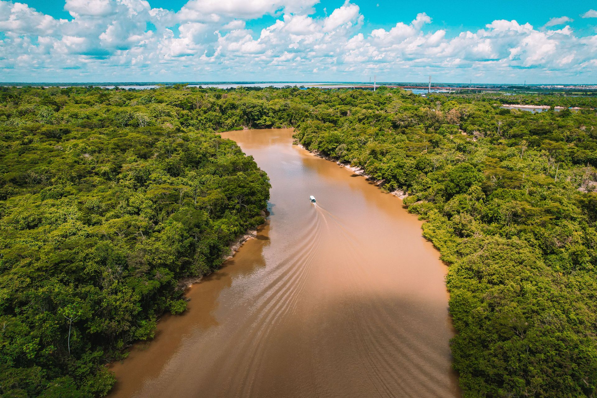
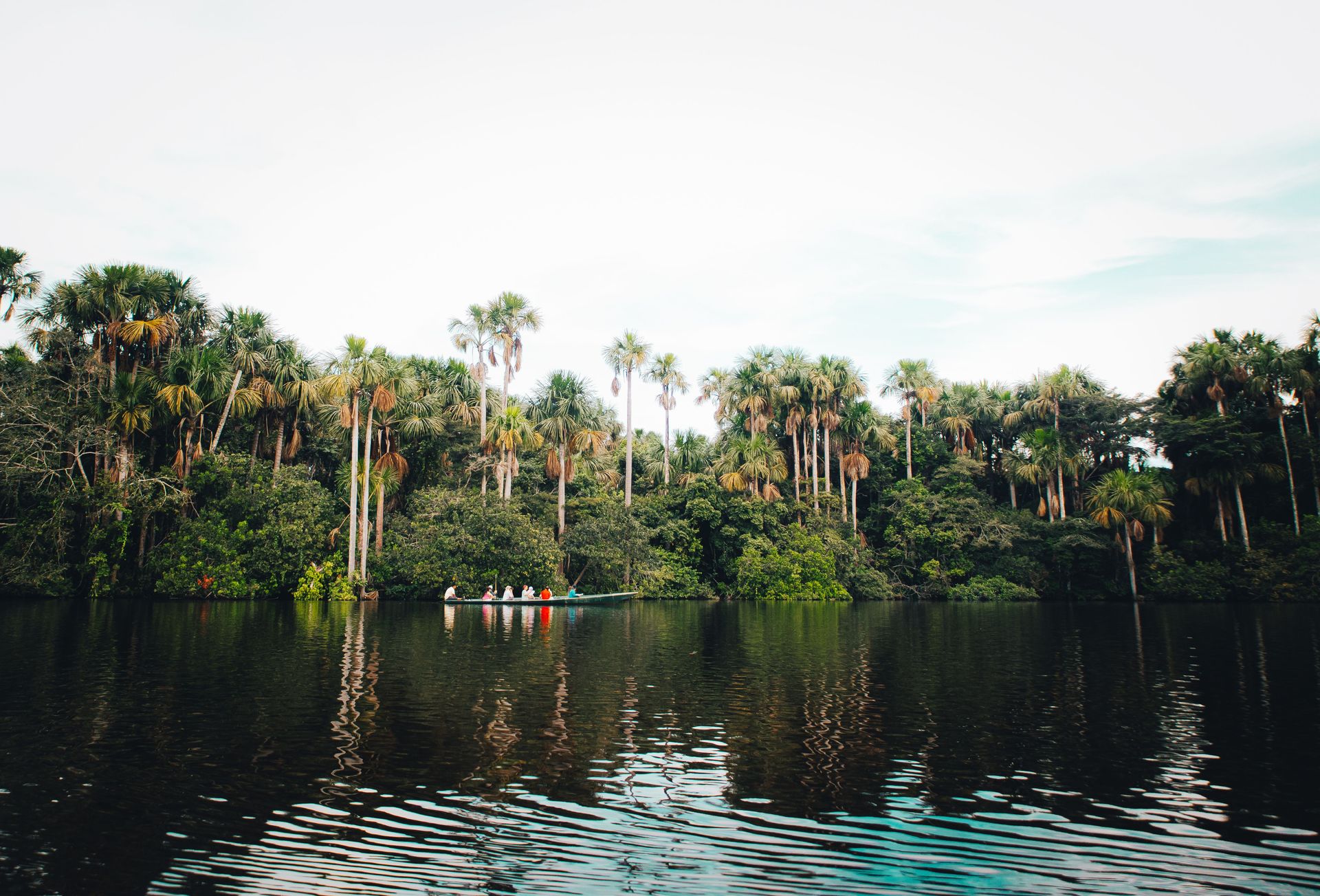
The Amazon $AMZN basin contains the largest tropical rainforest on Earth — approximately 5.5 million square kilometers of contiguous forest spanning nine South American countries, with Brazil containing approximately 60% of the total area. It is, by most measures, the most biodiverse terrestrial ecosystem on the planet: home to an estimated 10% of all species on Earth, including approximately 40,000 plant species, 1,300 bird species, 3,000 fish species, 430 mammal species, and an estimated two to three million insect species, of which the majority have not yet been formally described.
The Amazon's extraordinary biodiversity is a product of multiple interacting factors. The region has been continuously forested for tens of millions of years, providing the evolutionary stability that allows species to accumulate rather than being periodically reset by climate shifts or geological events. The uniformly warm, wet climate — most of the basin receives between 2,000 and 3,000 millimeters of rainfall annually — supports year-round primary productivity at rates that sustain an enormous biomass of plants and animals. The forest's three-dimensional structure — from the soil microbiome through the herb layer, understory, subcanopy, and emergent canopy trees reaching 50 meters or more — provides habitat niches of extraordinary variety.
The Amazon also generates its own climate. Approximately 20% of the water that falls as rain in the Amazon basin is water that was previously transpired by the forest itself — the trees pump water from the soil into the atmosphere, where it condenses and falls again in a self-sustaining cycle that the forest both depends on and creates. The hydrological cycle of the Amazon affects rainfall patterns across South America, including in the agricultural regions of southern Brazil and Argentina whose productivity depends on the rainfall that the intact Amazon generates.
Approximately 17% of the Amazon's original forest cover has been lost since 1970, with current deforestation rates fluctuating with Brazilian political cycles. Researchers at Brazil's National Institute for Space Research have estimated that the Amazon may be approaching a tipping point at approximately 20 to 25% deforestation, beyond which the hydrological cycle becomes self-disrupting and large areas of forest transition to savanna regardless of whether further deforestation occurs.
Tom Fisk / Pexels
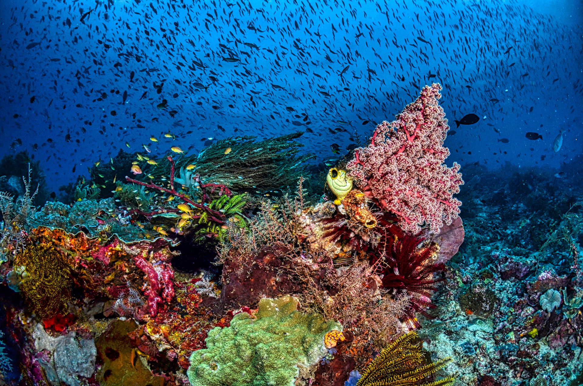
The Coral Triangle — the roughly triangular area of the western Pacific Ocean bounded by the Philippines, Indonesia, Malaysia, Papua New Guinea, the Solomon Islands, and Timor-Leste — is the global center of marine biodiversity, containing more coral species, fish species, and marine life generally than any other area of comparable size in the world's oceans. It covers approximately 6 million square kilometers of ocean and is home to approximately 76% of all known coral species, 37% of all known coral reef fish species, and six of the seven known marine turtle species.
The Coral Triangle's extraordinary biodiversity is the product of its position at the intersection of the Pacific and Indian Ocean basins, a location that has been at or near the center of tropical marine biodiversity for tens of millions of years. The region served as a refuge for marine life during glacial periods when sea levels dropped and other shallow water habitats were reduced or eliminated, and its position at the meeting point of two major ocean systems exposes it to the full range of Indo-Pacific marine species rather than the subset available in either ocean alone.
The reef systems within the Coral Triangle support the livelihoods of approximately 120 million people in the surrounding countries through fishing, coastal protection, and tourism. The Philippines alone has more fish species in its reefs than the entire Caribbean Sea, and the diversity of economically important fish species — grouper, tuna, snapper, and many others — makes the Coral Triangle one of the most important fisheries regions in the world.
The Coral Triangle faces multiple simultaneous threats: ocean warming, which produces coral bleaching events of increasing frequency and severity; ocean acidification, which reduces the ability of corals to build their calcium carbonate skeletons; destructive fishing practices including dynamite fishing and cyanide use; and coastal development. The 2016 mass bleaching event affected approximately 50% of the shallow-water corals on Australia's Great Barrier Reef, which lies adjacent to the Coral Triangle, in a demonstration of the speed at which climate change can produce large-scale ecosystem damage.
Magda Ehlers / Pexels
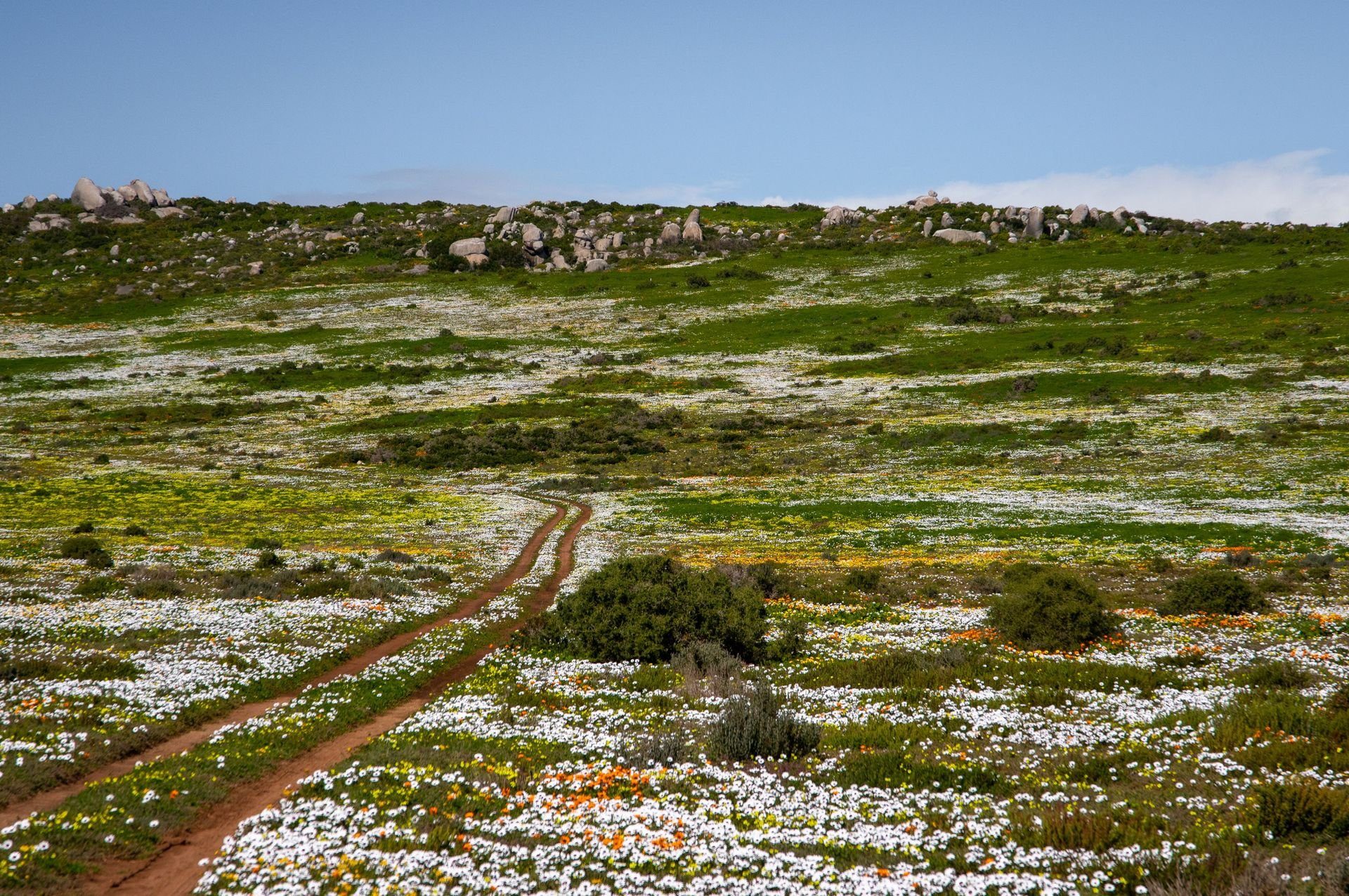
The Cape Floristic Region — the southwestern tip of South Africa, centered on the area around Cape Town and extending approximately 90,000 square kilometers — is the smallest of the world's six major plant kingdoms and one of the most species-rich plant communities on Earth, containing approximately 9,000 plant species, of which approximately 70% are endemic (found nowhere else). This level of plant endemism in a temperate region is extraordinary — the entire United Kingdom has approximately 1,500 native plant species across an area 27 times larger.
The Cape Floristic Region is dominated by fynbos — a fire-adapted shrubland characterized by fine-leaved plants, proteas, ericas (heathers), and restios (reed-like plants) — that has evolved a set of ecological adaptations to the Mediterranean-type climate of the region (wet winters, dry summers, periodic fire) over millions of years. The region's extraordinary plant diversity is partly a product of its geological stability — it has been above sea level and subject to a broadly similar climate for very long periods — and partly a product of the topographic complexity created by the Cape Fold Mountains, whose different aspects and elevations create a mosaic of microhabitats that support different species assemblages.
The fynbos ecosystem has an unusual relationship with fire. Many fynbos species require fire to germinate — their seeds lie dormant in the soil until heat cracks the seed coat, and without fire the seedbank is not activated. The ecosystem is therefore not merely fire-tolerant but fire-dependent: managed fire exclusion, counterintuitively, degrades rather than protects fynbos biodiversity.
More than 50% of the Cape Floristic Region's original extent has been converted to agriculture and urban development, with the area around Cape Town experiencing particularly rapid expansion. Invasive alien plants — Australian wattles, pine trees, and several other introduced species — have invaded large areas of fynbos, outcompeting the native vegetation and fundamentally altering the fire regime.
Nadirsyah Nadirsyah / Pexels
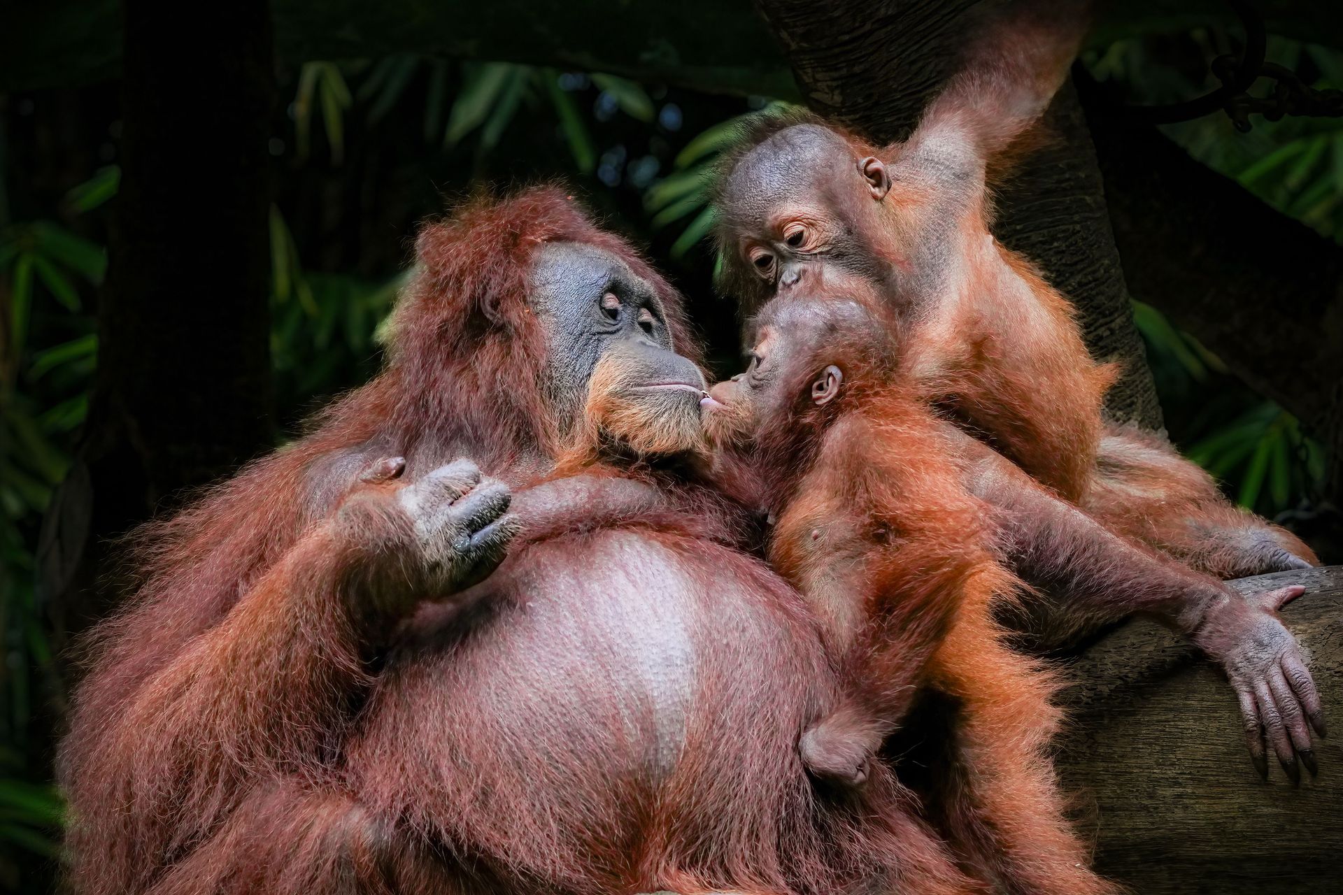
Sundaland — the biogeographic region encompassing the Malay Peninsula, Sumatra, Borneo, and Java, along with the smaller islands between them — is one of the world's most important biodiversity hotspots, containing extraordinary concentrations of endemic plant and animal species in ecosystems that range from lowland dipterocarp forest to montane cloud forest to peat swamp forest. The region contains approximately 25,000 plant species (of which 15,000 are endemic), 380 bird species, and many of the world's most charismatic and most threatened large mammals.
The lowland dipterocarp forests of Borneo and Sumatra are among the most structurally complex and species-rich forests on Earth outside the Amazon $AMZN. The dipterocarps — the family of large trees that dominate the canopy of Southeast Asian forests — are notable for their mast fruiting behavior, in which all the trees in a forest synchronize their fruit production in irregular intervals of two to ten years, producing a superabundance of seeds that overwhelms the ability of seed predators to consume them all, ensuring that some seeds survive to germinate. The timing mechanism — thought to involve climate cues related to El Niño events — coordinates fruiting across thousands of trees over vast areas in a phenomenon that restructures the food web of the forest for months at a time.
Sundaland contains the only habitat of the Sumatran orangutan, the Bornean orangutan, the Sumatran tiger, the Sumatran rhinoceros, the Sumatran elephant, and the pygmy elephant of Borneo — all critically endangered or endangered species whose wild populations are confined to this region. The specific threat driving their decline is deforestation for palm oil plantation, paper pulp production, and smallholder agriculture, which has converted approximately 80% of Sundaland's lowland forest over the past 50 years.
Mégane Ssu / Pexels
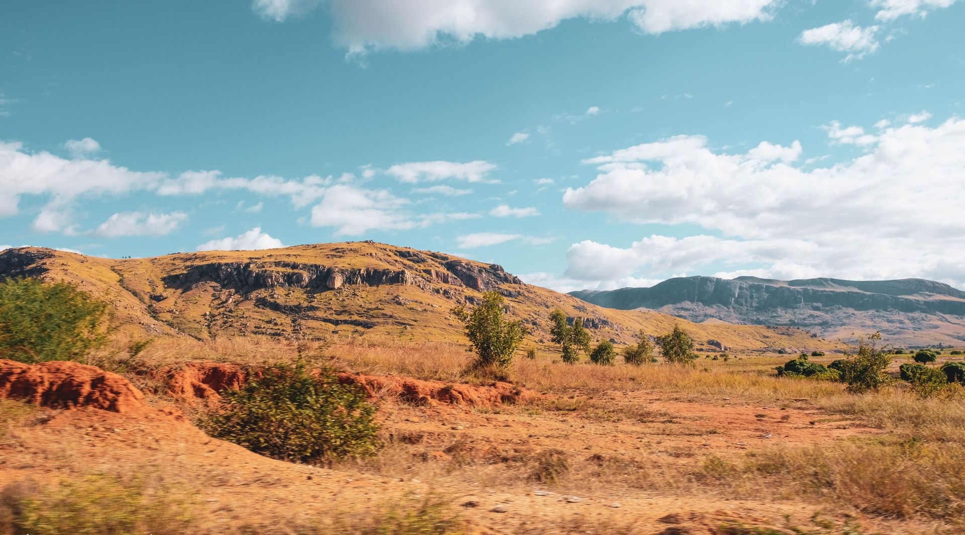
Madagascar — the island nation approximately 400 kilometers off the east coast of Africa — separated from the African continent approximately 88 million years ago and from India approximately 80 million years ago, producing a degree of evolutionary isolation that has generated one of the most extraordinary concentrations of endemic species in the world. Approximately 90% of Madagascar's wildlife is found nowhere else on Earth — a level of endemism that reflects 80 million years of independent evolutionary development rather than the selective colonization of an accessible island.
The island contains approximately 12,000 plant species (of which approximately 80% are endemic), five endemic families of birds, and the full surviving diversity of the lemur lineage — the group of primates that colonized Madagascar approximately 60 million years ago and diversified, in the absence of competing primates, into approximately 111 known species ranging from the 30-gram pygmy mouse lemur to the indri. The baobab trees of Madagascar — seven of the world's eight baobab species are endemic to the island — are among the most distinctive plant forms on Earth, their swollen trunks storing water against the seasonal drought and their flowers opening at night to be pollinated by hawk moths and lemurs.
Madagascar's evolutionary distinctiveness is matched by the severity of its biodiversity crisis. Approximately 90% of the island's original forest cover has been destroyed since human arrival approximately 2,000 years ago, primarily through slash-and-burn agriculture. The subfossil record documents the extinction of the giant lemurs — some the size of gorillas — the elephant birds (the largest birds to have ever lived), and pygmy hippopotamuses following human colonization. The currently surviving endemic fauna represents the survivors of a larger extinction event that is still ongoing.
Samson Bush / Pexels
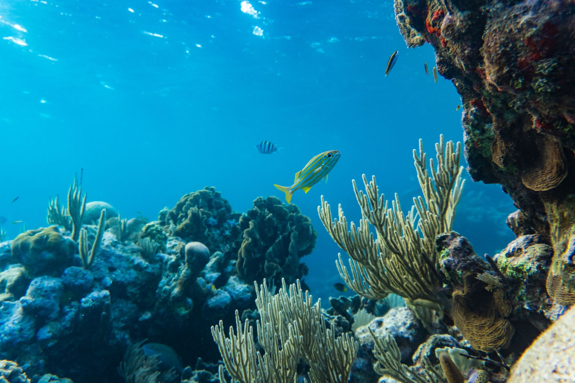
The Mesoamerican Reef — the reef system running approximately 1,000 kilometers along the Caribbean coast of Mexico, Belize, Guatemala, and Honduras — is the largest barrier reef in the Western Hemisphere and the second largest in the world, containing extraordinary marine biodiversity and supporting the livelihoods of hundreds of thousands of people in the four countries along its coast.
The reef contains more than 500 fish species, 65 coral species, 350 mollusk species, and critical habitat for endangered species including the West Indian manatee, the American crocodile, and four sea turtle species. The Belize section of the reef — the Belize Barrier Reef Reserve System — was designated a UNESCO World Heritage Site in 1996, though it was placed on the endangered list in 2009 due to inadequate coastal protection and removed from the endangered list in 2018 following improvements in Belize's marine protected area management.
The reef's ecological significance extends beyond its species diversity. Caribbean coral reefs provide coastal protection against hurricane storm surge — the physical barrier of the reef reduces wave energy before it reaches the coast, protecting low-lying coastal communities. The economic value of this coastal protection service, combined with the fisheries and tourism value of the reef, has been estimated in the billions of dollars annually for Belize alone — a country whose total GDP is approximately $2.5 billion.
Stony coral tissue loss disease — a rapidly spreading disease first detected in Florida in 2014 that has since spread throughout the Caribbean — has affected the Mesoamerican Reef with significant mortality of coral tissue across multiple species. Ocean warming events have produced bleaching in the reef, and agricultural and urban runoff from the adjacent coasts contributes chronic nutrient pollution that promotes algal overgrowth at the expense of coral.
Iqx Azmi / Pexels
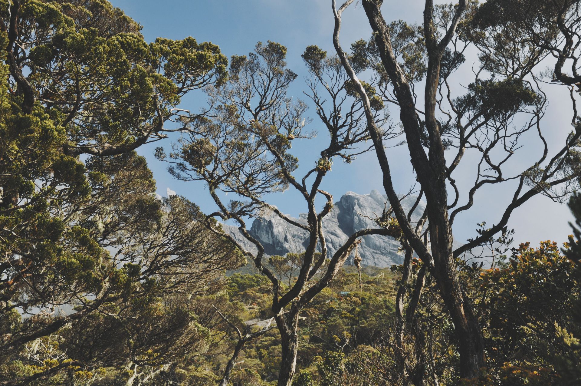
While the lowland forests of Borneo are covered under the Sundaland entry, the montane forests of Borneo's interior mountain ranges — particularly the Crocker Range and the Muller Mountains — deserve separate treatment as a biologically distinct ecosystem whose specific characteristics have produced their own concentrations of endemic species, particularly in the plant and invertebrate communities.
Borneo's mountains rise to over 4,000 meters at Gunung Kinabalu in Sabah, Malaysia — the highest peak between the Himalayas and New Guinea — and the cloud forests of the upper montane zone exist in conditions of permanent mist and high humidity that have allowed the evolution of plant communities of extraordinary richness. Kinabalu is estimated to contain more plant species than the whole of Europe, concentrated in an area of approximately 750 square kilometers.
The carnivorous plant diversity of Borneo's mountains is disproportionate to the island's geographic size. Borneo contains more species of Nepenthes pitcher plants — the large carnivorous plants that trap and digest insects in fluid-filled pitchers modified from leaf tips — than any other location, with some species producing pitchers large enough to drown small vertebrates. The pitchers of Nepenthes rajah, the largest carnivorous plant in the world, have been documented containing drowned rats, lizards, and frogs. The plants supplement the nutrient-poor soils of the ultramafic and sandstone substrates of Kinabalu's flanks with the digested remains of their prey.
The wildlife of Kinabalu includes a high proportion of species found nowhere else — including the Kinabalu giant red leech, the Kinabalu banded pit viper, and numerous endemic orchid and fern species — making the mountain a specific center of endemism within the broader Bornean biodiversity hotspot.
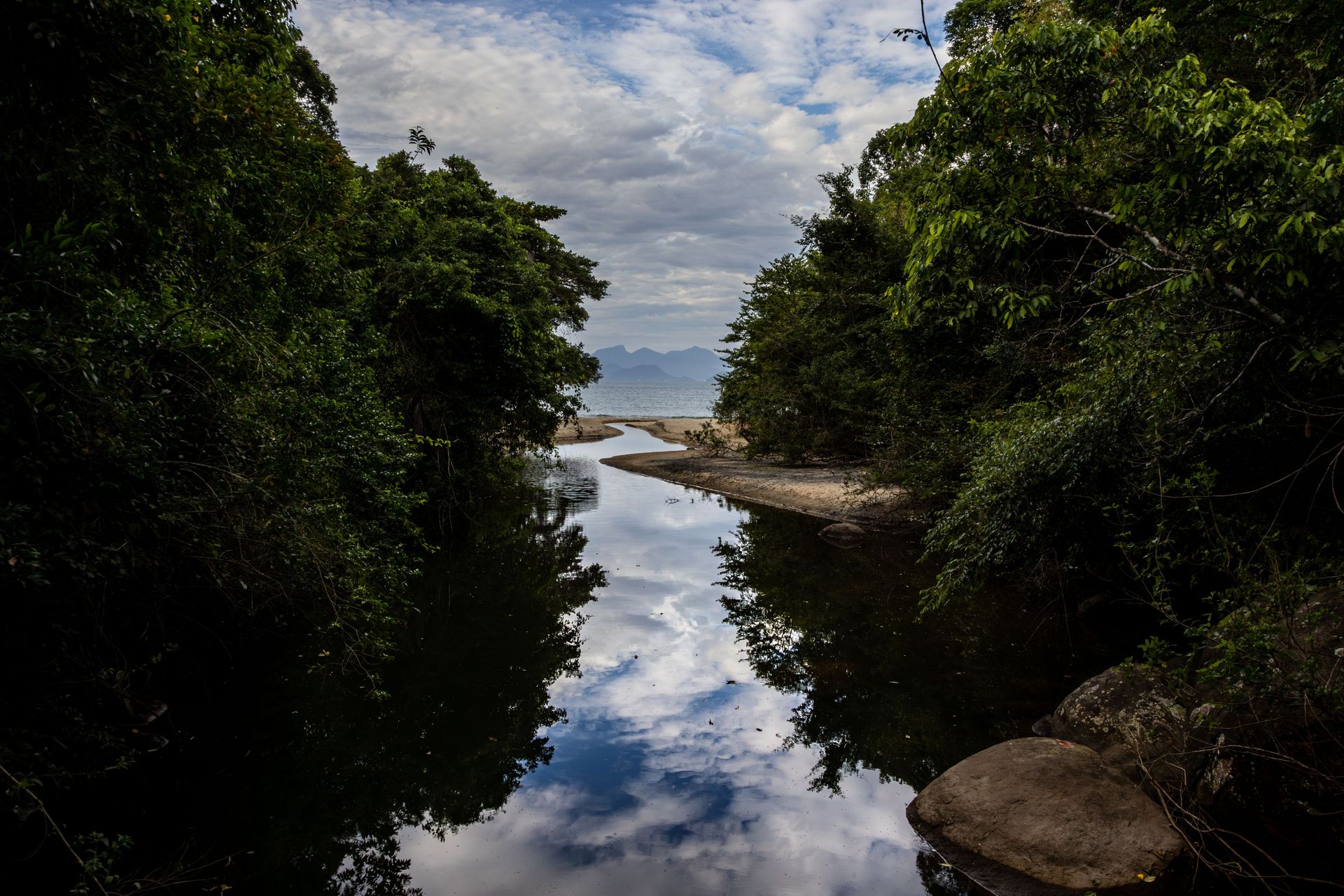
Rodrigo Menezes / Pexels
The Atlantic Forest — Mata Atlântica — is the coastal rainforest of Brazil, stretching approximately 4,000 kilometers along the Atlantic coast from the northeastern state of Rio Grande do Norte to the southernmost state of Rio Grande do Sul, with extensions into Paraguay and Argentina. It is biologically distinct from the Amazon $AMZN, separated from it by a corridor of savanna, and has been evolutionarily isolated for long enough to have developed its own endemic flora and fauna of extraordinary richness.
The Atlantic Forest contains approximately 20,000 plant species (of which approximately 40% are endemic), 950 bird species (including 200 endemic), 340 reptile species (60% endemic), and 270 amphibian species (73% endemic). The golden lion tamarin — one of the world's most recognizable and most studied primate conservation cases — is endemic to the Atlantic Forest, its wild population having recovered from fewer than 200 individuals in the 1970s to approximately 3,700 today through one of the most successful captive breeding and reintroduction programs in conservation history.
The Atlantic Forest is also one of the world's most severely degraded biodiversity hotspots. Approximately 88% of its original extent has been cleared — it was Brazil's primary agricultural and population expansion zone from colonial times through the 20th century — and what remains consists largely of fragments of various sizes embedded in a matrix of pasture, cropland, and urban development. Studies of Atlantic Forest fragments have produced some of the most important empirical work on the biology of fragmentation: the minimum viable size of forest patches, the edge effects that reduce habitat quality at fragment margins, and the extinction debt — the species loss that will occur from existing fragments even if no further deforestation takes place — that makes the conservation of even degraded fragments important.
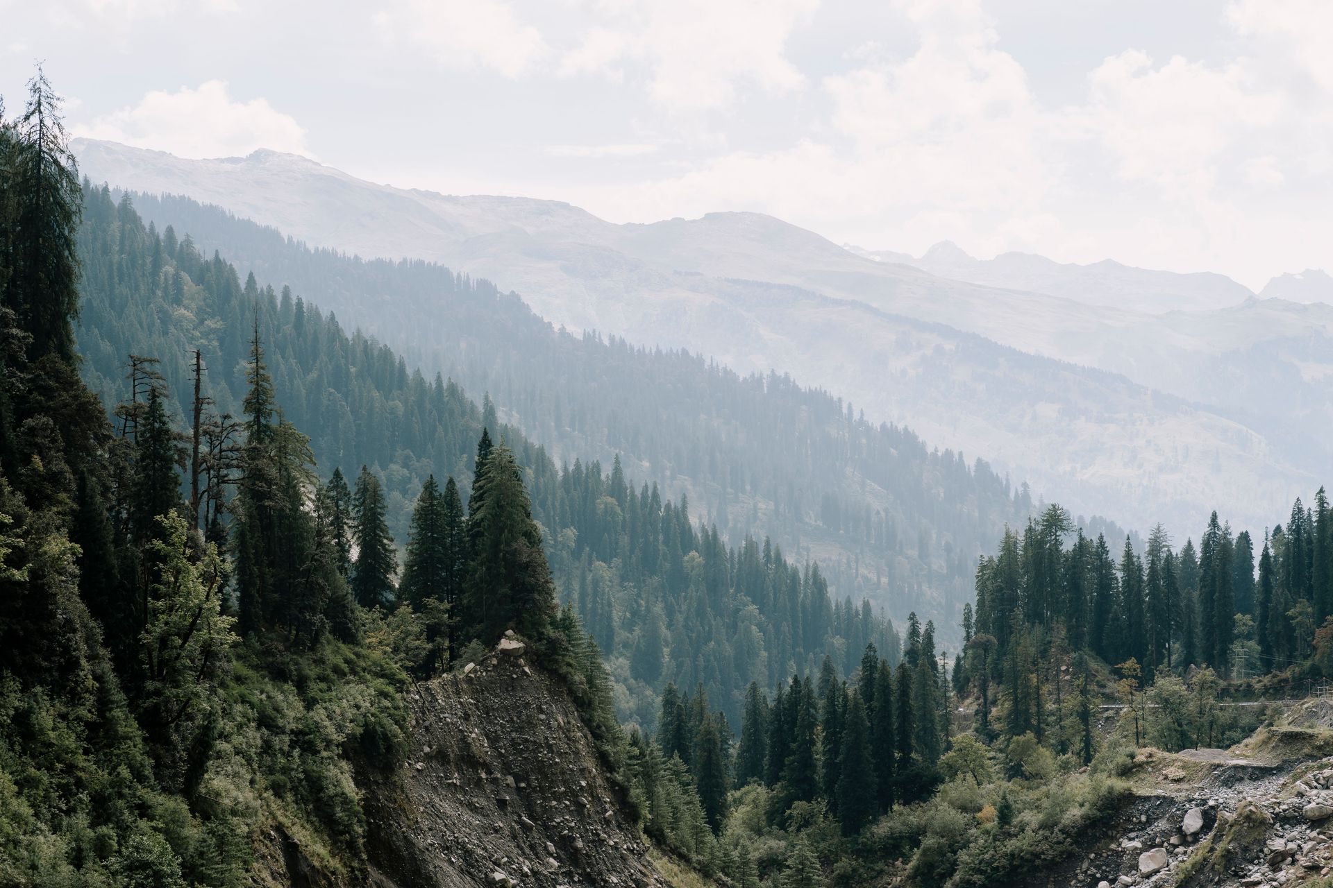
Harsh Kukadiya / Pexels
The Himalayan region — encompassing the mountain ranges from northern Pakistan and Afghanistan through Nepal, Bhutan, and the northeastern Indian states to the mountains of southwestern China — contains one of the most geographically and ecologically complex biodiversity hotspots on Earth, spanning an elevational gradient from subtropical foothills to alpine meadows and permanent snow, across a latitudinal range that encompasses multiple climate zones, and including some of the most isolated valleys on Earth that have served as evolutionary refugia for ancient lineages.
The Eastern Himalayas — the area spanning Bhutan, northeastern India, and adjacent parts of Nepal and southwestern China — are particularly species-rich, recognized as an independent biodiversity hotspot. The region contains approximately 10,000 plant species, including 3,500 that are endemic. It is the primary habitat of the red panda, the snow leopard, the clouded leopard, the Bengal tiger, and the one-horned rhinoceros in its Terai grassland habitats at the mountain foothills. Bhutan, which has protected approximately 51% of its land area and maintained constitutional requirements for forest cover, is often cited as one of the most successful examples of national-scale biodiversity conservation.
The specific ecological significance of the Himalayan forests extends beyond their resident biodiversity. The mountains are the water towers of Asia — the glaciers and snowfields of the Himalayas feed the major river systems of the continent, including the Ganges, the Brahmaputra, the Yangtze, the Yellow, the Mekong, and the Irrawaddy — river systems on which approximately two billion people depend for water, agriculture, and hydropower. The health of the Himalayan ecosystems is therefore directly connected to the water security of South and Southeast Asia.
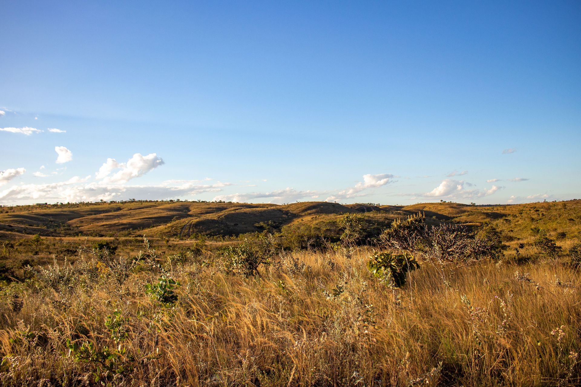
Hiago Rocha / Pexels
The Cerrado — the vast tropical savanna of central Brazil, covering approximately two million square kilometers — is the most biodiverse tropical savanna in the world and the second most species-rich biome in Brazil after the Amazon $AMZN, containing approximately 12,000 plant species (of which approximately 44% are endemic), 935 bird species, 300 mammal species, and the greatest diversity of freshwater fish of any savanna ecosystem on Earth.
The Cerrado's biodiversity is a product of its age and stability: it is one of the oldest tropical ecosystems on Earth, having existed in broadly its current form for tens of millions of years, and its plant communities have had extraordinary time to diversify. The deep, gnarled roots of Cerrado plants — adapted to survive the periodic fire and drought that characterize the ecosystem — can extend ten meters or more into the soil, giving individual plants access to deep water sources that surface-rooting species cannot reach.
The Cerrado is also the primary source of the rivers that feed the Amazon basin, the Pantanal wetland, and the Paraná basin — its headwater streams and underground aquifers sustain hydrology across a continent-spanning area. The Guarani Aquifer, one of the largest freshwater aquifers in the world, is recharged primarily through Cerrado soils.
Approximately 50% of the Cerrado has been converted to agriculture since the 1970s, when new crop varieties and fertilizer applications made the acid, nutrient-poor Cerrado soils productive for soya and maize. Brazil's agricultural transformation into a global soya and beef exporter has been achieved largely at the expense of the Cerrado, which receives significantly less international conservation attention than the Amazon despite comparable rates of habitat loss.

Martin Herick Puquio / Pexels
The Tropical Andes — the Andean mountain range from Venezuela and Colombia through Ecuador and Peru to Bolivia — is the world's most species-rich biodiversity hotspot and the region with the highest density of endemic species per unit area on Earth. The approximately 1.5 million square kilometers of the hotspot contain an estimated 45,000 plant species (approximately 20,000 endemic), 1,666 bird species, 414 mammal species, and extraordinary concentrations of amphibians — approximately 1,000 species, the majority endemic.
The Andes' biodiversity reflects the mountain's role as an evolutionary engine. As the Andes rose over the past 10 to 15 million years — reaching their current heights relatively recently in geological terms — they created new habitats at different elevations, provided barriers that isolated populations on different slopes and in different valleys, and generated a mosaic of climate zones from the tropical foothills through montane forest, cloud forest, high-altitude grassland (páramo and puna), and permanent snow. Each altitudinal zone has its own community of species adapted to its specific conditions, and the steep gradients between zones mean that a short horizontal distance can encompass the full range of tropical to arctic conditions.
The páramo — the high-altitude grassland ecosystem found above the cloud forest and below the permanent snowline — is one of the world's most important freshwater sources. The dense, spongy vegetation of the páramo absorbs rainfall and releases it slowly, regulating the flow of rivers that supply water to cities including Bogotá, Quito, and Lima, and to the agricultural systems of the Andean highlands. The biodiversity of the páramo — with its endemic Espeletia plants (giant groundsels that can live for centuries), its hummingbirds, its Andean spectacled bears, its mountain tapirs — is inseparable from its hydrological function.
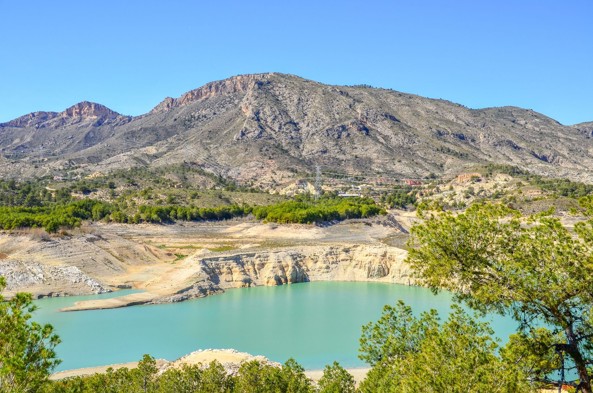
Emilio Sánchez Hernández / Pexels
The Mediterranean Basin — the lands surrounding the Mediterranean Sea, extending from the Iberian Peninsula and northwestern Africa through southern Europe, the Middle East, and the northern Maghreb — is one of the world's five Mediterranean-type climate zones and the largest and most biodiverse of them, containing approximately 25,000 plant species (of which approximately 13,000 are endemic) in an area that constitutes less than 2% of the world's land surface.
The Mediterranean climate — characterized by hot, dry summers and mild, wet winters — has been present in the basin for approximately five to seven million years, long enough for plant communities to have developed highly specialized adaptations to the specific combination of drought, heat, fire, and winter rain. The diversity of plant growth forms in Mediterranean scrubland — deep-rooted shrubs, bulbs and corms that store energy underground through summer drought, annual herbs that complete their life cycle in the wet season, sclerophyllous (hard-leaved) perennials resistant to water loss — is itself a measure of the evolutionary innovation that the challenging climate has driven.
The Mediterranean Basin is also the cradle of agriculture. Wheat, barley, lentils, chickpeas, olives, grapes, and many other foundational crops were domesticated in the Mediterranean Basin and its adjacent Near Eastern zone — the Fertile Crescent — making it the region whose biodiversity most directly underpins global food security through the wild relatives of domesticated crops that it harbors. Those wild relatives are repositories of genetic diversity that plant breeders draw on to develop drought-resistant, disease-resistant, and climate-adapted varieties of food crops.
Gis photography / Pexels
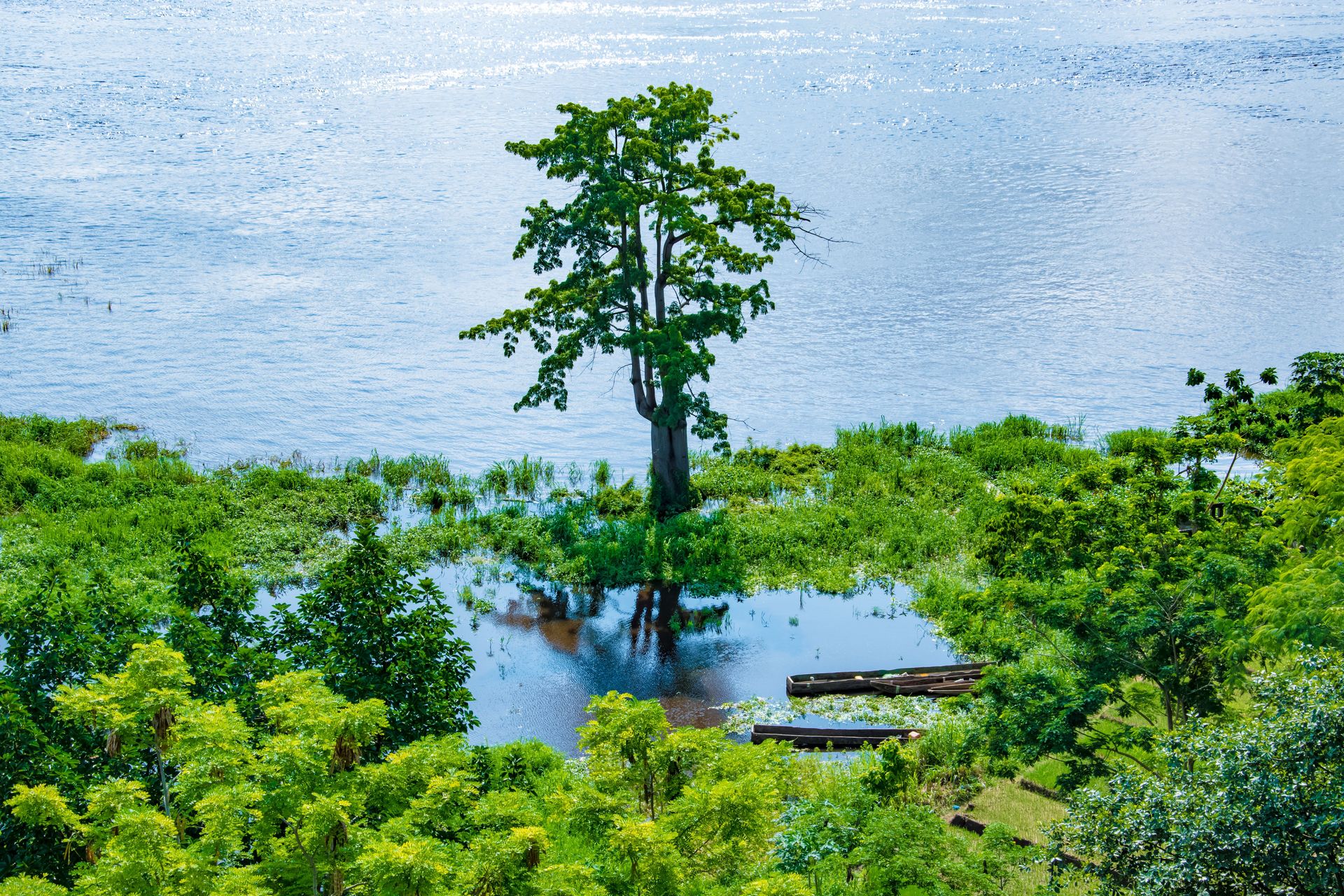
The Congo Basin — the second-largest tropical rainforest on Earth, covering approximately 3.7 million square kilometers across six central African countries — contains river and wetland systems of extraordinary biological richness that are largely unknown to the international public and understudied relative to their ecological significance. The Congo River itself is the world's deepest river, with depths exceeding 220 meters in places, and its discharge — second only to the Amazon $AMZN — sustains one of the world's most productive freshwater fisheries.
The freshwater biodiversity of the Congo Basin is exceptional. The river system contains approximately 700 known fish species, with new species described regularly as surveys of remote tributaries and deep-water habitats are conducted. The fish diversity is a product of the river's age, the variety of habitats it encompasses — from fast-flowing rocky cataracts to slow, dark flooded forest to deep, nutrient-rich channels — and the evolutionary isolation produced by cataracts and waterfalls that prevented the mixing of fish populations between major tributary systems for millions of years.
The Congo Basin also harbors unique wildlife found nowhere else, including the bonobo, the okapi, the Congo peacock, and the forest elephant. The Cuvette Centrale — a vast peatland in the heart of the basin — was discovered in 2017 to contain the world's largest tropical peatland, storing approximately 30 billion tonnes of carbon accumulated over millennia — a carbon store comparable in scale to three years of global fossil fuel emissions, whose protection is significant for global climate stability as well as for biodiversity.
Md Naimur Rahman Sazan / Pexels
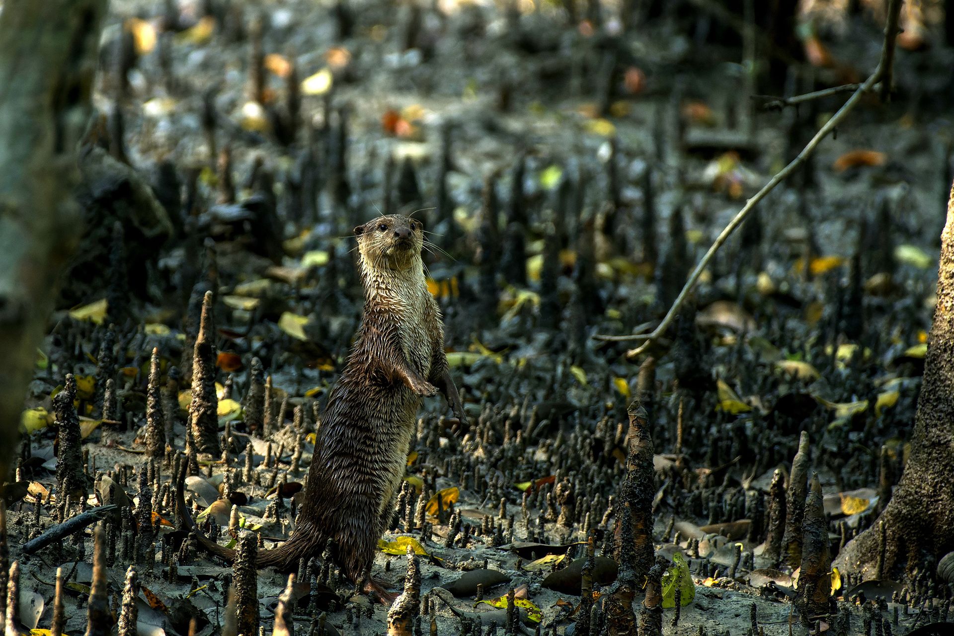
The Sundarbans — the mangrove forest at the delta of the Ganges, Brahmaputra, and Meghna rivers, straddling the border of Bangladesh and India across approximately 10,000 square kilometers — is the world's largest contiguous mangrove forest and one of the most ecologically productive coastal ecosystems on Earth. It is a UNESCO World Heritage Site in both Bangladesh and India and one of the last strongholds of the Bengal tiger, whose population in the Sundarbans is estimated at approximately 400 individuals.
Mangrove ecosystems are among the most productive and most threatened coastal ecosystems globally. Mangroves grow at the interface of land and sea, tolerating the salinity and low-oxygen conditions of tidal zones through specialized root structures — pneumatophores that protrude above the anaerobic sediment to allow gas exchange, and prop roots that stabilize the trees in unstable soft sediments. The root architecture creates a complex three-dimensional habitat that serves as nursery ground for the majority of commercially important tropical coastal fish and shrimp species, provides nesting and foraging habitat for hundreds of bird species, and physically protects coastlines from storm surge, erosion, and tsunami.
The Sundarbans' specific value as a biodiversity hotspot reflects both the mangrove ecosystem's general productivity and the specific evolutionary adaptations of its resident wildlife to the tidal, saline, dynamic environment. The Bengal tigers of the Sundarbans are unique among tiger populations in their regular swimming behavior — they move between islands by swimming across tidal channels and have been documented swimming distances of several kilometers — and in their consumption of fish, crabs, and monitor lizards alongside the deer and wild boar that constitute their primary prey elsewhere.
Approximately 35% of the world's mangrove area has been lost since 1980, primarily to aquaculture pond construction, coastal development, and wood harvesting. The loss of mangroves removes coastal protection for low-lying communities, eliminates nursery habitat for coastal fisheries, and releases the substantial carbon stocks that mangrove soils accumulate over centuries.
Hydrothermal vent ecosystems — found at mid-ocean ridges and other sites of volcanic activity on the deep ocean floor, at depths ranging from 1,500 to over 5,000 meters — represent a category of biodiversity that is entirely independent of sunlight, the energy source on which virtually all other ecosystems on this list depend. Discovered in 1977 near the Galápagos Rift by a team from the Woods Hole Oceanographic Institution, hydrothermal vent ecosystems were the first biological communities found to be based entirely on chemosynthesis — the conversion of chemical energy from hydrogen sulfide and other compounds emitted by the vents into organic matter by bacteria — rather than on photosynthesis.
The biological communities around hydrothermal vents are among the most productive on the deep ocean floor, supporting densities of animal life orders of magnitude greater than the surrounding sediment. Giant tube worms of the genus Riftia — up to 2.4 meters in length — anchor themselves to the rock and harbor chemosynthetic bacteria in a specialized internal organ, drawing sulfide from the vent water and oxygen from the surrounding deep ocean water and providing the bacteria with both in exchange for the organic matter they produce. Vent crabs, vent shrimp, and vent fish complete a food web that requires no sunlight at any point.
The biodiversity of individual vent fields is not numerically as large as the terrestrial and shallow-water ecosystems on this list — the total number of vent-endemic species is estimated in the hundreds rather than the thousands. What makes the hydrothermal vent ecosystem significant for a biodiversity list is its categorical uniqueness: it demonstrates that life can organize a complete, self-sustaining ecosystem without solar energy, in conditions of extreme temperature, pressure, and chemical toxicity that exclude all other forms of life. The implications for astrobiology — for the possibility of life in the ice-covered oceans of Europa and Enceladus, which may have hydrothermal activity at their seafloors — make the vent ecosystem one of the most conceptually important on Earth.
