Florida is entering a state of emergency as Hurricane Ian hurtles towards the sunshine state.
On Tuesday (Sept. 27), the category 3 hurricane, with wind speeds up to 195 km per hour or 120 miles per hour, left Cuba without electricity. Weather forecasters predicted the storm will strengthen as it finds a large supply of deep, warm water in the Gulf of Mexico. By the time it reaches Florida, it’s expected to morph into a category 4 giant, packing wind speeds of 250 km/h hour (156 miles per hour).
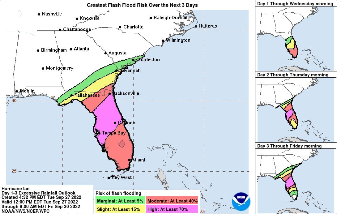
It is expected to “cause life-threatening storm surge, catastrophic winds, and flooding in the Florida Peninsula,” the national hurricane center (NHC) warned.
Many parts of the Florida coast will witness varying degrees of “flash, urban, and river flooding,” according to the NHC. In some areas where flooding happens, the water could reach 10 to 12 ft, the agency estimates.
A tornado warning issued to residents of the Palm Beach area in the wee hours of the morning suggests they “move to an interior room on the lowest floor or a sturdy building” and “avoid windows.” Those who are outdoors or in mobile homes should immediately seek shelter in order to protect themselves from flying debris and heavy rainfall.
“Tornadoes are extremely difficult to see and confirm at night. Do not wait to see or hear the tornado. Take cover now!” the advisory said.
🏫 Schools in areas that could be affected have been shut through Friday, Sept. 30.
🎢 Disney $DIS and Universal are shutting their Florida theme parks on today and tomorrow (Sept. 28 and 29).
🚢 Ports and airports are closing.
🛬 Airlines have scrapped 2,000 flights ahead of the landfall.
🛒 Grocery stores, low on supplies as people stocked up, resorted to rationing before closing today.
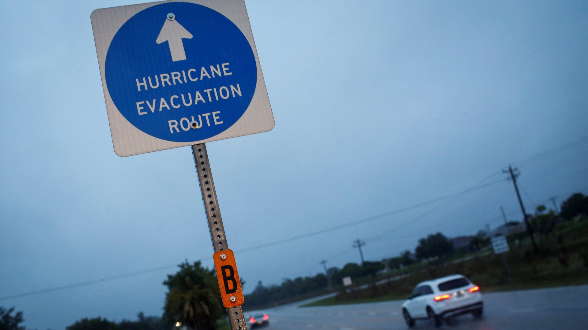
2.5 million: The number of Floridians who have been given evacuation orders
350: State Emergency Response members staffing the State Emergency Operations Center (SEOC)
27,000: Power restoration personnel on standby to assist impacted areas after the storm
360: Trailers equipped with over 2 million meals and over 1 million gallons of water in preparation for distribution to impacted areas
7,000: Guardsmen deployed and stationed at armories for tropical storm response; 5,000 from Florida and over 2,000 from Tennessee, Georgia and North Carolina
300+: Number of ambulances, paratransit busses, and support vehicles deployed to areas of anticipated landfall
$30: The one-way fare upper limit for the free round trips Uber $UBER is offering to state-approved evacuation shelters.
Hurricane Ian follows the path of 2004's Hurricane Charley—first of four storms to strike the state then. Only, it’s way bigger.
Its impact will be bigger, too. The warning includes areas like Fort Myers, Tampa and St. Petersburg, which haven’t been directly hit by a major hurricane in a century.
Florida has one billion tons of phosphogypsum—slightly radioactive waste from fertilizer mining that can’t really be disposed—stored in 24 stacks, government data show. Hurricane Ian is expected to make landfall very close to many of these pond-lookalikes, which could potentially spill over and contaminate other rivers and other wetlands.