India’s vital monsoon rains are changing—and not for the better
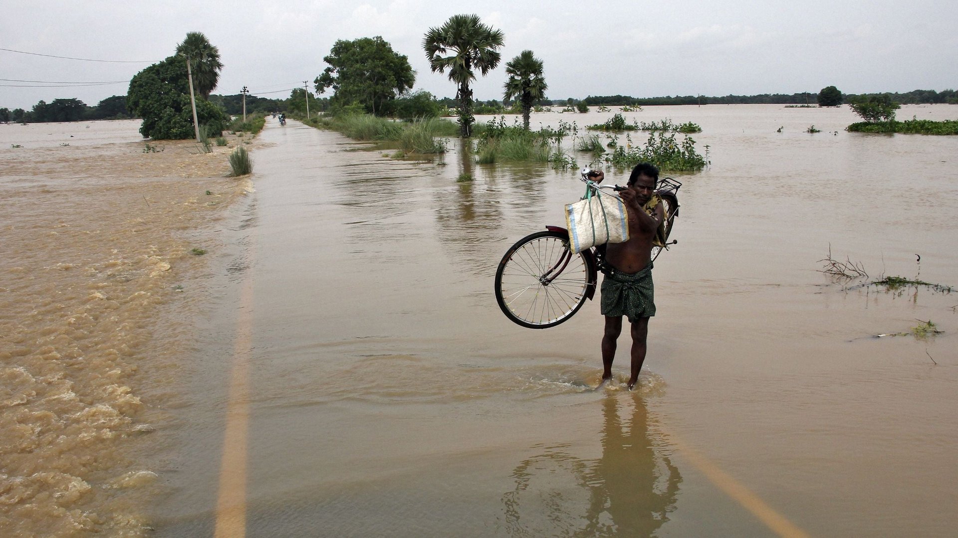
In 2013, over 1,000 people died and tens of thousands were left homeless after early monsoon rains in the northern Indian state of Uttarakhand triggered flash floods and landslides. The year before, late monsoon downpours in the country’s northeast left some two million people homeless. And the year before that, the eastern state of Odisha was hit by the worst flooding in three decades. This year, too, the state is under threat.


In 2013, over 1,000 people died and tens of thousands were left homeless after early monsoon rains in the northern Indian state of Uttarakhand triggered flash floods and landslides. The year before, late monsoon downpours in the country’s northeast left some two million people homeless. And the year before that, the eastern state of Odisha was hit by the worst flooding in three decades. This year, too, the state is under threat.
Taken together, the anecdotes suggest that India’s monsoons are undergoing a change in pattern—and science confirms it.
The monsoon rains, which provide about 85% of the country’s 108 centimeters of average yearly precipitation, typically arrive at the south Indian coast by early June, cover the entire country by mid-July and withdraw from the subcontinent around October. Within these months, different parts of the country receive varying amounts of rainfall with unequal frequency.
The problem in recent years is that the incidence of extreme events—either too much rain, or too little, over a limited period of time—is becoming more widespread. ”Heavy rain events [more than 10 centimeters a day] over central India are increasing while weak and moderate events are decreasing,” India’s minister for science and technology and earth sciences Jitendra Singh told the country’s Parliament on August 06.
This year, scientists at Stanford University released a study examining monsoon patterns over a 60-year period, and concluded that extreme weather events had increased. A news release summarizing the findings explained that “although the average total rainfall during the monsoon season has declined, the variability of rainfall during the peak monsoon months has increased.” In particular, the researchers observed increases in the intensity of wet spells and in the frequency of dry spells.
According to Singh, some areas of Kerala in the south are seeing a slight decrease in rainfall, while parts of West Bengal are recording an increase. Both are rice-growing regions, where change in rainfall patterns could have an impact on the crop.
The concern isn’t only about the extreme conditions and their ability to destroy a standing crop. About 60% of India’s agricultural lands—supporting more than half the subcontinent’s working population and about 13% of the country’s GDP—are primarily irrigated by rainfall. Established patterns of the monsoon rains typically dictate when farmers sow their crop; any unexpected variation has the potential to present a challenge.
With improved technology and data analysis, the ability to make accurate long-range forecasts (from 30 days up to two years) has become easier, according to Jatin Singh, CEO of Skymet, a private weather-forecasting firm.
Providing short-range forecasts (beyond 12 hours and up to 72 hours) is much more trickier. “You still can’t tell a farmer to sow, or not to sow,” Singh says. But increased variations in monsoon patterns mean that short-term predictions are becoming critical. Firms like Skymet—which just secured Rs 27.6 crore ($4.5 million) in venture capital funding—are ramping up to be able to provide those services.
“Short-range forecasts is an instrumentation challenge,” Singh says, alluding to a shortage of infrastructure.
But with new investment in machines and increased data analysis, Singh is optimistic that improved short-term predictions should be possible as early as 2017.
Until then, every time India’s farmers sow their crops with an eye on the monsoon rains, it’ll be a bigger gamble than they’ve typically taken in the past.