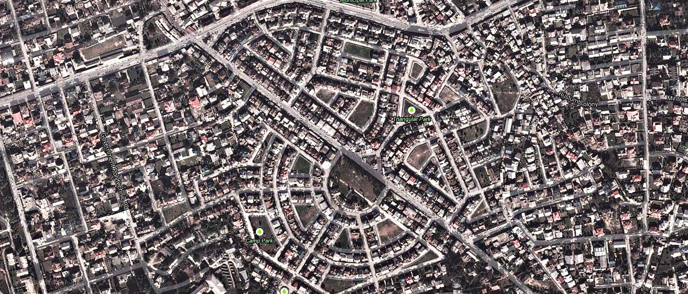
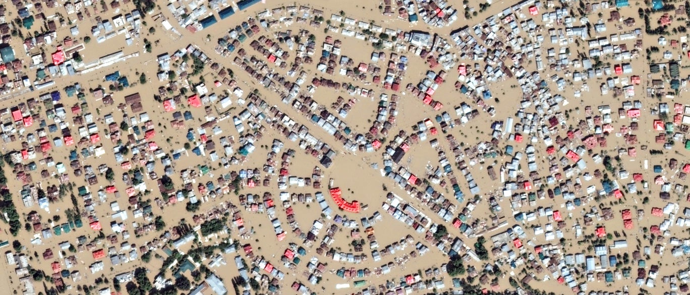
Terrifying before and after images of the Kashmir floods
It has been difficult to get a sense of the frightening scale of the destruction that Jammu and Kashmir has witnessed since torrential rains began pounding down more than 10 days ago.
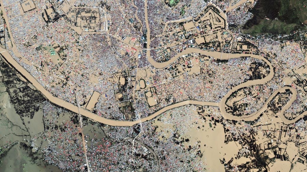

It has been difficult to get a sense of the frightening scale of the destruction that Jammu and Kashmir has witnessed since torrential rains began pounding down more than 10 days ago.
“Kashmir Valley was like an ocean,” an Indian Air Force officer said on Sunday, recalling how the thickly populated valley that surrounds Srinagar, the state’s capital, looked when the armed forces began their massive rescue and relief operation last week.
“We could not distinguish between Jhelum, Dal Lake and the inhabited areas. It was just one water body,” he said.
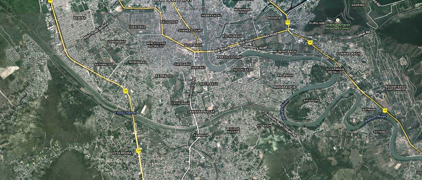
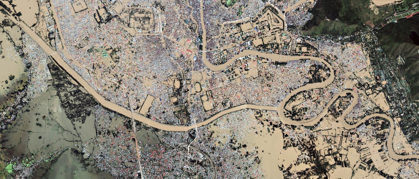
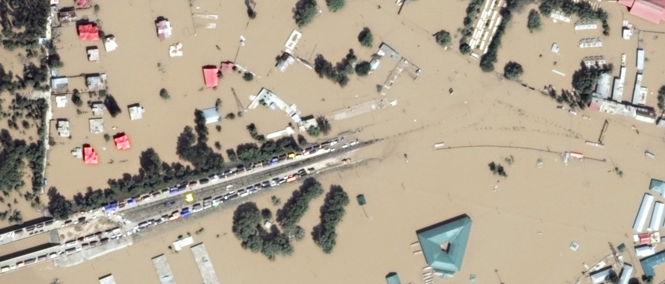
Sourced from Google Crisis Map on September 13, these satellite images show how Srinagar has been ravaged by the worst floods in over a century.
Srinagar
The capital city has been transformed from a bustling metropolis of over a million people into a flooded city where hundreds of thousands were marooned.
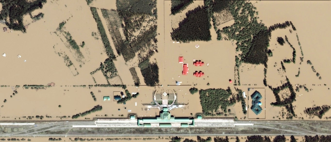
Railway Station
On the outskirts of Srinagar, the floods have inundated almost everything at the Nowgam Railway Station, except the railway tracks and the main terminal.

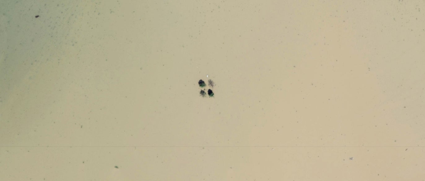
Char Chinar
Rising waters of the Dal Lake, Srinagar’s most famous lake, have almost entirely swallowed this little island known for its four Chinar trees.

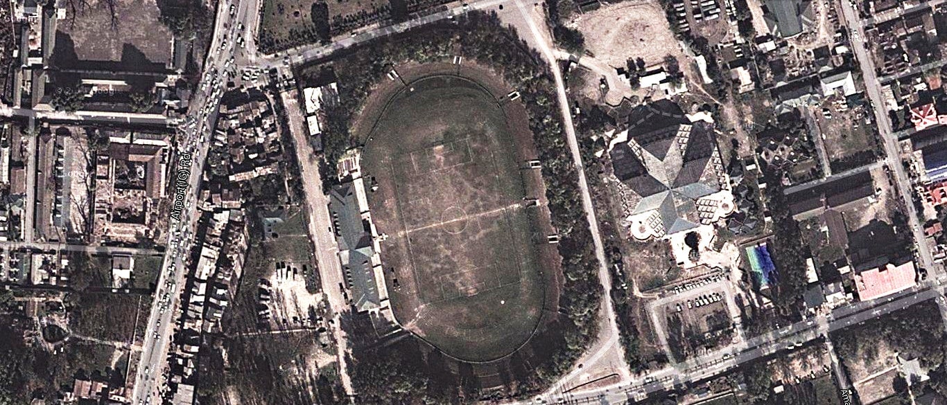
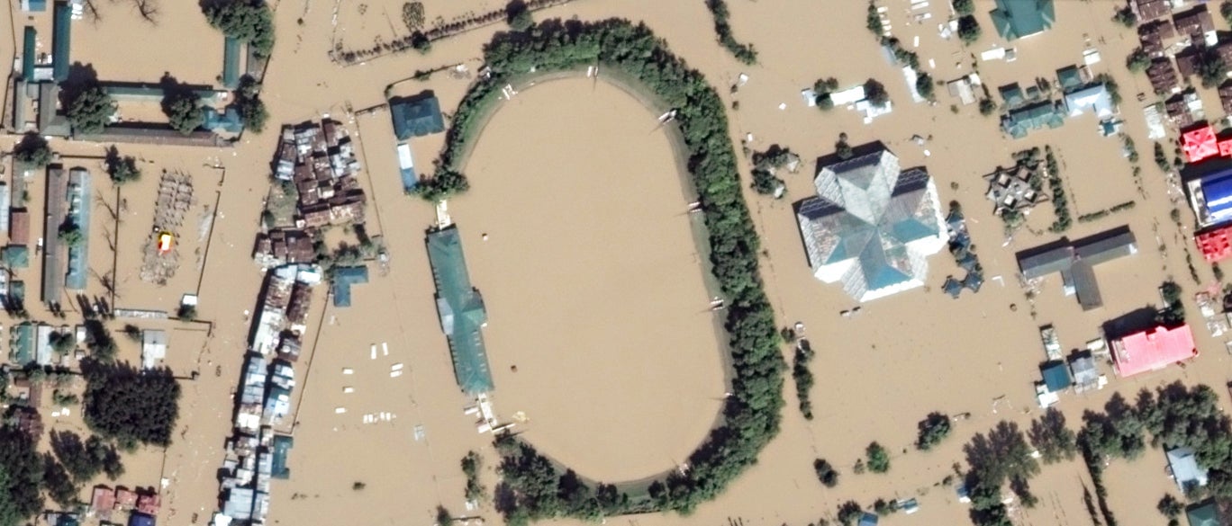
Bakshi Stadium
The state’s first synthetic football pitch was laid at the Bakshi stadium just days before it almost completely went under water.
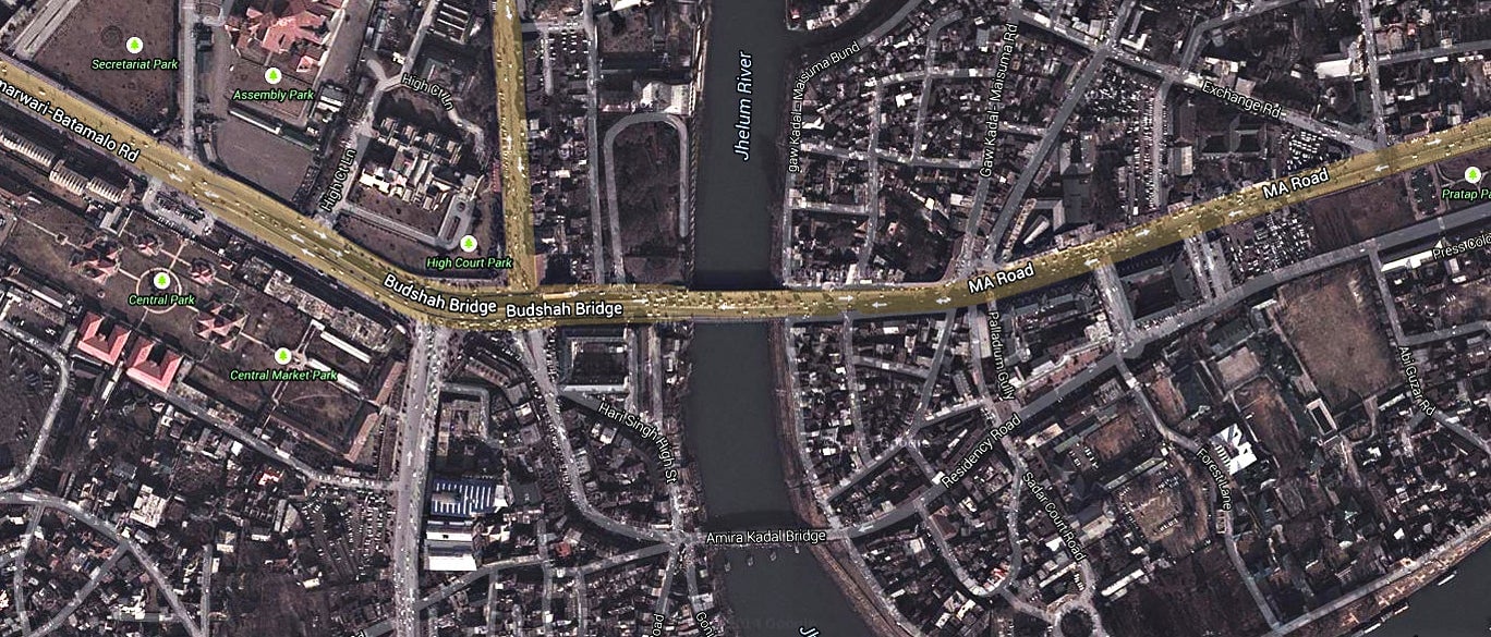
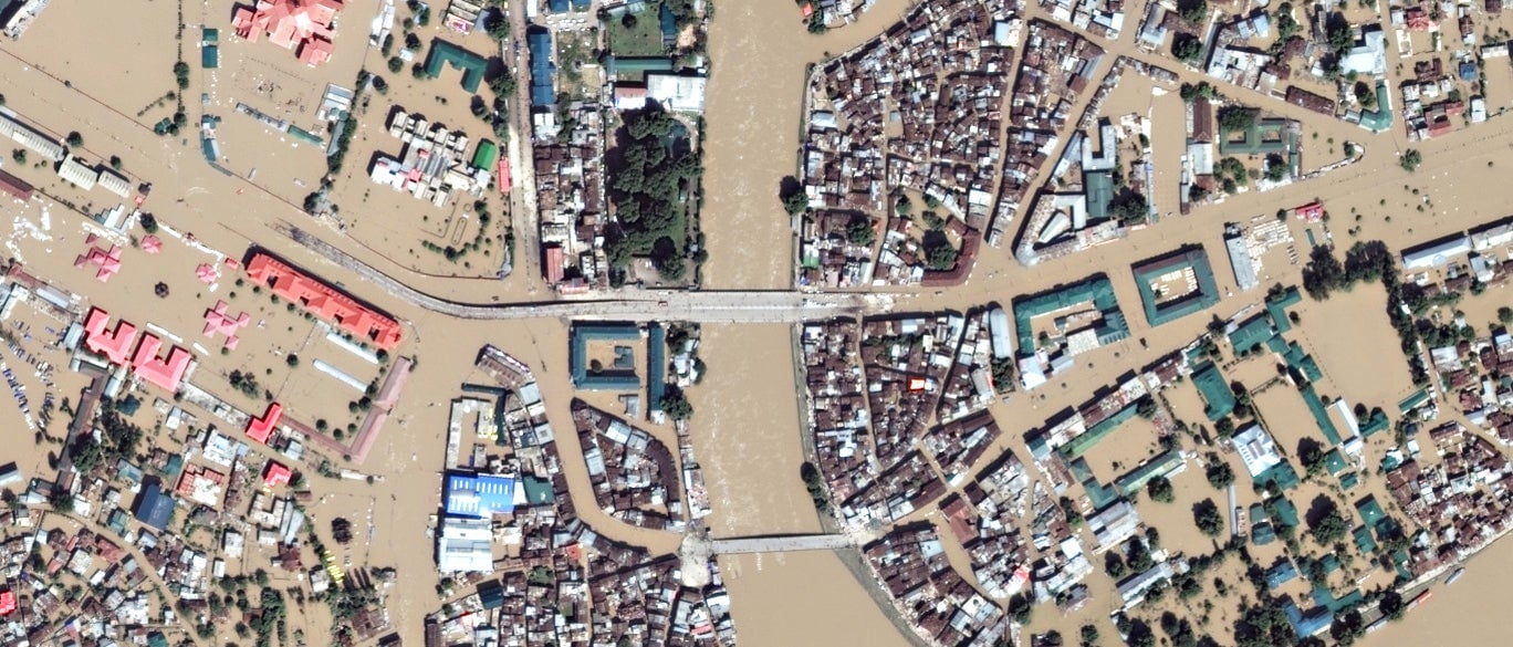
Budshah Bridge
Presumably named after Sultan Zain-ul-Abidin, or Bud Shah, approach roads to this bridge in the heart of Srinagar overflowed with water as the Jhelum river broke its banks.
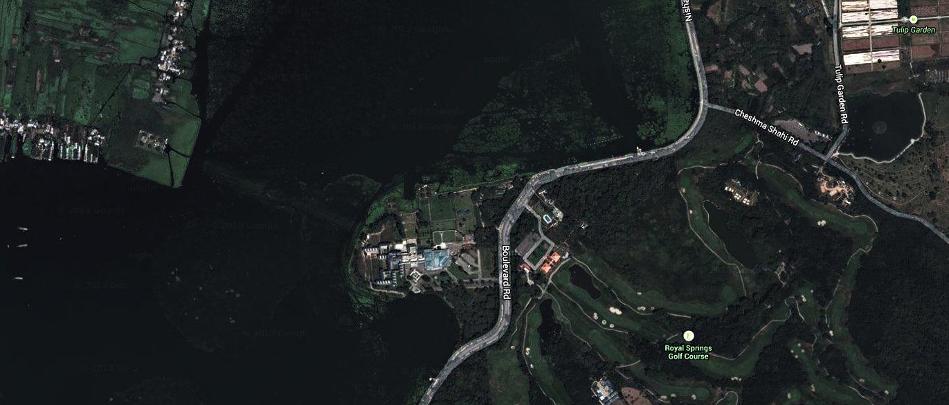
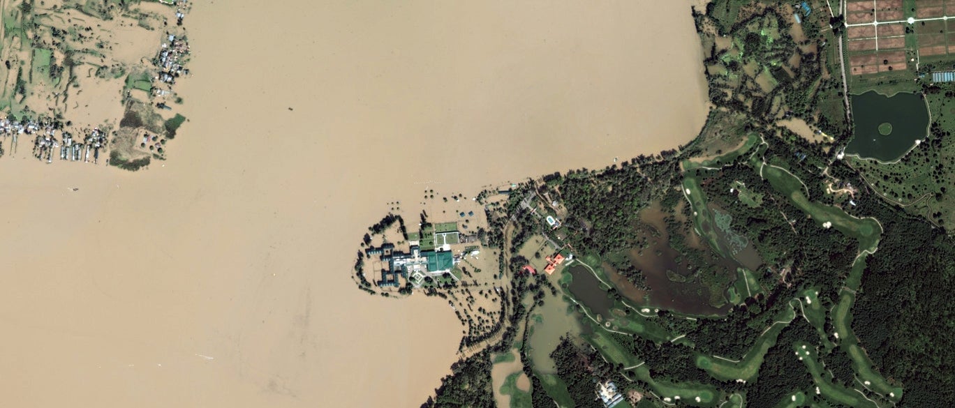
Royal Springs Golf Course
Among the country’s most picturesque golf courses, flood waters flowed into parts of the Royal Springs. Nearby is Gupkar Road, home to Jammu and Kashmir chief minister Omar Abdullah.
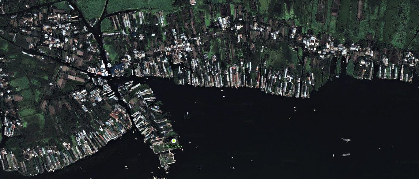
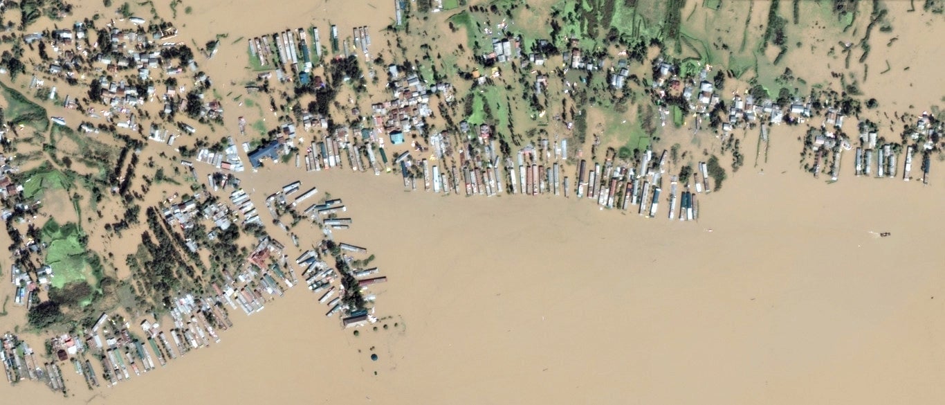
Nehru Park
On the banks of the Dal Lake, Srinagar’s Nehru Park ostensibly became a part of the lake itself, while houses in the neighbourhood were completely engulfed by flood waters.
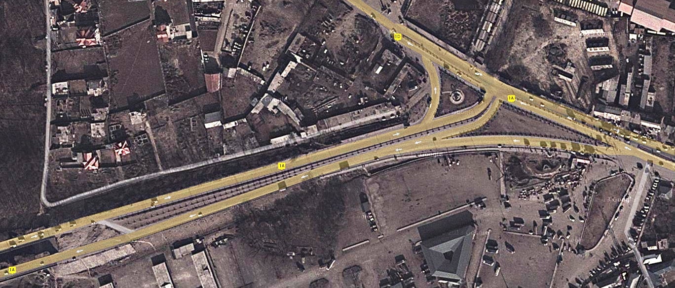
Intersection near Athwagan
Sections of national highways 1A and 1D went under water, leaving queues of vehicles trapped in both directions.
Triangular Park, Jawahar Nagar
Roads and parks in Srinagar were completely submerged, leaving only rooftops and a smattering of treetops visible from above.
