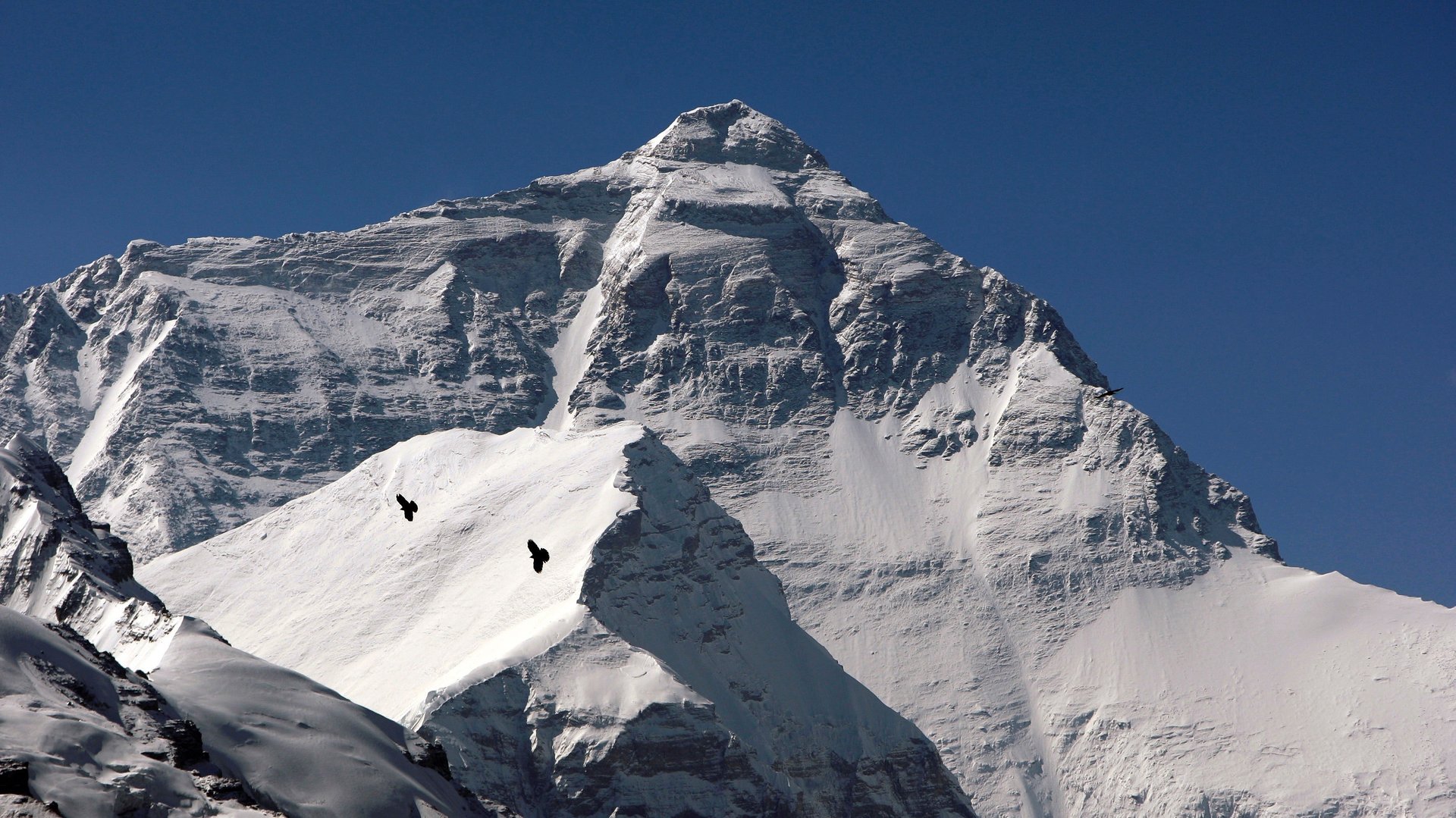
India is going to check if Mount Everest got a little bit shorter
In April 2015, an earthquake in Nepal killed nearly 9,000 people, destroyed buildings, and triggered a series of deadly landslides. It may also have knocked Mount Everest down an inch.


In April 2015, an earthquake in Nepal killed nearly 9,000 people, destroyed buildings, and triggered a series of deadly landslides. It may also have knocked Mount Everest down an inch.
Satellite readings taken in the aftermath of the 7.8-magnitude earthquake showed that large portions of Nepal had risen more than 30 feet, while others sank. Estimates for Mount Everest—measured at 8,848 meters (about 29,000 feet) by Indian surveyors in 1955—suggested it could have sunk anywhere from a few millimeters to a full inch. Now India is sending a team of mountaineers and researchers to check it out.
The team will be comprised of both professional mountaineers and officers from India’s central mapping agency (those “physically fit, able-bodied, and qualified to go,” India’s surveyor general, Swarna Subba Rao, told the Guardian). At Everest’s summit, researchers will collect GPS readings of the distance between their coordinates and the satellites orbiting above, providing measurements whose margin of error is a single centimeter. To double-check the results, they’ll also use the archaic ”triangulation” method, in which a surveyor stands on a horizontal surface at a known distance from the mountain and uses a high-powered, telescopic protractor to determine the angle between their location and Everest’s peak. That information is then used to calculate the mountain’s height. It’s a bit old-school, and only accurate within 30 feet.
There is no set date for the expedition yet, but Rao expects the team will be ready to depart in two months. The data will take a month to collect and another two weeks to process, and Rao expects the expedition to cost around $700,000 (£560,000).”We’re preparing our people, acclimatizing them, training them in mountaineering,” he said.
Everest has a history of height adjustments. In 1999, a US team pegged it at 8,850 meters (three higher than India’s estimate). Six years after that, a Chinese expedition determined it to be 8,844.43 meters. Some of those discrepancies might be attributable to snow buildup or tectonic shifts below the earth’s surface. None of them threaten Everest’s title as world’s tallest peak: The next tallest, K2 on the China-Pakistan border, is more than 200 meters (656 feet) shorter.
Another longstanding Everest tradition? Bickering between India and Nepal. While Rao told The Guardian that India’s team will work with the Nepalese government, Ganesh Bhatta, deputy chief of Nepal’s survey department, told the BBC that there is no agreement granting the Indian team access to Everest. He says Nepal is planning to send its own mapping professionals.