
These six island-hopping routes rely on public ferries and fast boats, not chartered yachts, to link some of the world's best-known island clusters
Credit: Alfiano Sutianto / Unsplash
A private boat charter in the Mediterranean or the Caribbean routinely runs several hundred dollars a day before fuel, crew tips, and mooring fees. That puts island-hopping out of reach for most travelers who don't own a yacht. Public ferries solve the same problem for a fraction of the cost. In many of the world's most visited island clusters, the ferry network is fast, frequent, and easy to book online months ahead. Island-hopping routes built entirely around public ferries have become the default way travelers move between the Cyclades, the Dalmatian coast, and the Andaman Sea. They aren't a fallback for people who couldn't afford something better.
The routes below share three things. Each runs on a fixed public timetable. Each offers at least one high-speed or catamaran option that cuts travel time compared with older ferries. None require hiring a skipper, a private captain, or a boat of your own. Some, like Greece's Cyclades, run dozens of daily departures at the height of summer. Others, like Scotland's Inner Hebrides, run on a tighter but still entirely public schedule that links islands most travelers assume need a chartered boat to reach.
Timing matters more than most guides admit. Ferry frequency in the Mediterranean and Southeast Asia drops sharply outside the May-to-October high season. Some Andaman Sea routes shut down entirely during the monsoon. Scotland's CalMac network runs year-round, but with far fewer winter sailings. Building a route around a public ferry schedule means checking the season before locking in a date, not after.
Each entry below names the hub port, the ferry operators that run the route, and the islands a traveler can realistically string together on a single trip without ever stepping onto a private vessel. None of it requires sailing experience, a boating license, or anyone else's yacht. It only takes a ticket, a timetable, and a pier.
Credit: Oliver LOK / Pexels
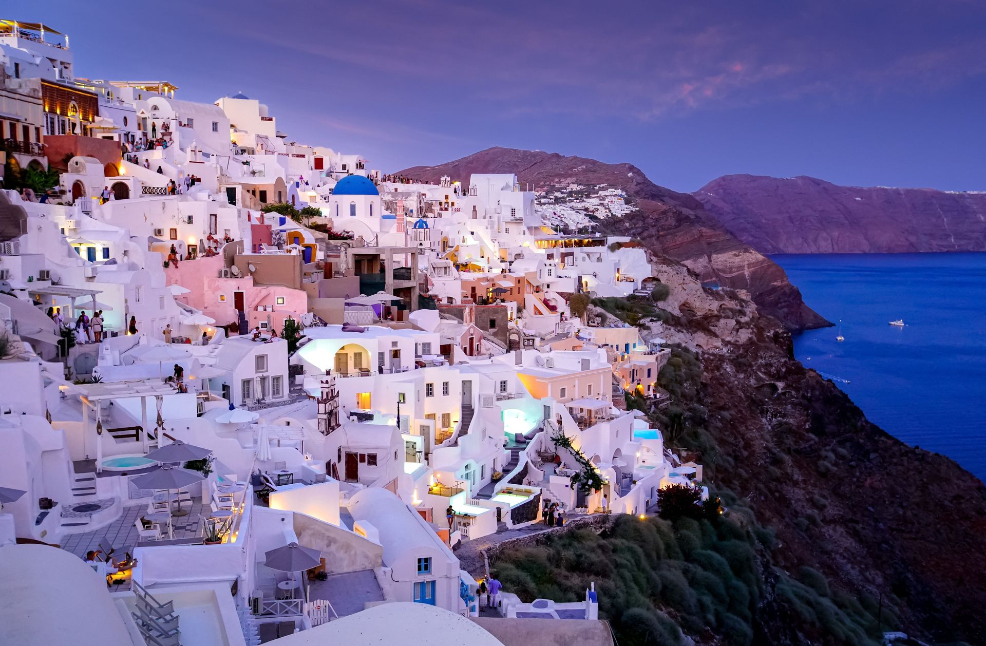
Athens' port of Piraeus is the hub for reaching the Cyclades. High-speed catamarans run by Blue Star Ferries, SeaJets, and Golden Star Ferries link Mykonos, Paros, Naxos, Ios, and Santorini on a public timetable with multiple daily departures each summer.
A traveler can book a multi-stop route online and move between four or five islands in a single week without chartering anything. The classic loop starts in Mykonos. It moves next to Paros, known for calmer beaches and the marble-quarrying village of Lefkes. From there it continues to Naxos, with its mountain villages and Venetian old town. The final stop is Santorini, for the caldera views over Fira and Oia.
High-speed ferries cover the Piraeus-to-Mykonos leg directly. Island-to-island hops within the Cyclades typically run under two hours. Conventional, slower ferries serve every stop on this route too, and they cost less than the catamarans, which matters on a longer trip with several legs.
The trade-off is time. A conventional ferry from Piraeus to Santorini takes roughly eight hours, compared with about five on a high-speed boat. Travelers $TRV building a tight itinerary usually pay for speed on the longer open-water legs. They take the slower option for short island-to-island hops, where the time difference barely registers.
Ferry schedules in the Cyclades peak between June and September, when departures run several times a day on the busiest routes. Outside that window, particularly from November through March, service drops to a handful of weekly sailings on some islands. Rough winter seas occasionally cancel departures with little notice.
Booking through an aggregator site such as Ferryhopper lets travelers compare every operator serving a given route side by side, rather than checking each company's own site separately. A standard passenger ticket, bought in advance during peak season, is enough to string together a five-island route entirely on public ferries.
Credit: Joonseok Park / Pexels
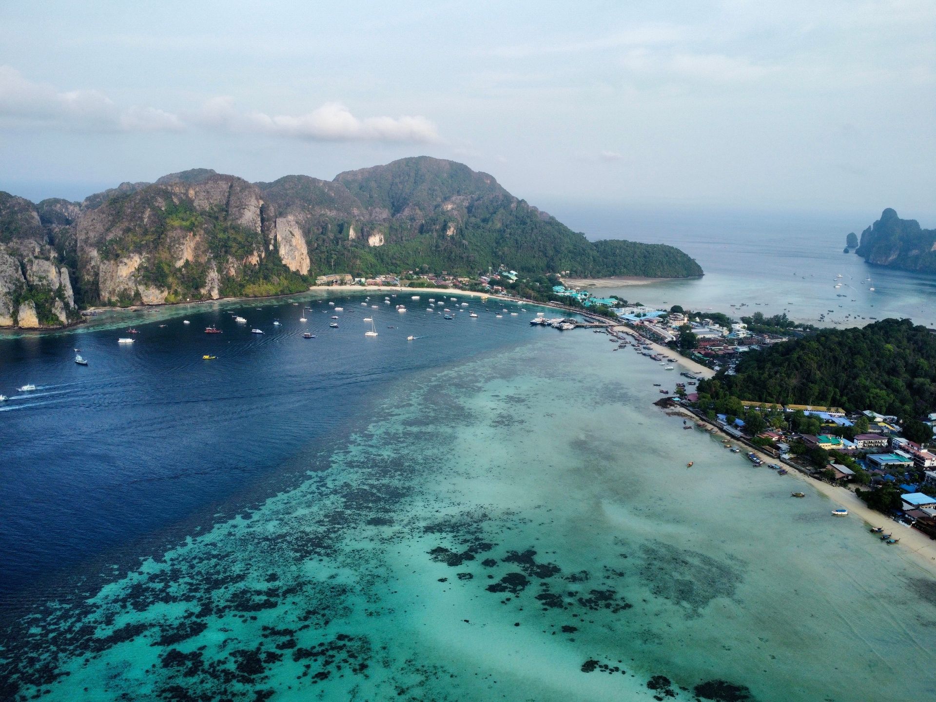
Phuket and Krabi together form the main gateway to Thailand's Andaman coast. Public ferry operators including Phi Phi Cruiser, Chao Koh Cruiser, and Bangrak Marine run daily service linking Phuket, Phi Phi Don, Krabi's Ao Nang and Railay beaches, and Koh Lanta, with no private long-tail boat or chartered speedboat required.
The typical route starts in Phuket and crosses to Phi Phi Don in about 90 minutes by speedboat. It continues south to Koh Lanta, with Krabi town or Ao Nang as an easy stop along the way. Railay, a peninsula cut off from the road network by limestone cliffs, is reachable only by boat. Short public longtail and speedboat shuttles run there from Ao Nang rather than from a private charter.
Phi Phi Leh, the uninhabited island famous for Maya Bay, isn't a ferry stop itself. No one lives there, and there's no pier for overnight stays. It's typically visited on a day trip booked separately from Phi Phi Don or Phuket. Travelers $TRV hopping between the inhabited islands on this route can skip that add-on and still cover four distinct stops using only scheduled ferries.
Seasonality shapes this route more than most. The Andaman Sea's dry season runs roughly November through April, when ferry frequency is highest and seas are calmest. During the southwest monsoon, from around May through October, some smaller operators suspend service altogether. Rougher water can delay or cancel the Phuket-to-Phi Phi crossing specifically, since it covers more open water than the sheltered legs near Krabi.
Tickets are sold at pier counters and through online platforms that cover multiple operators at once. Same-day tickets are usually available outside Thai public holidays and the Chinese New Year travel period, when demand spikes. No captain's license, deposit, or private hire is involved on this route. Every leg runs as a shared public service alongside other travelers and local commuters.
Credit: Butch Aleksich / Pexels
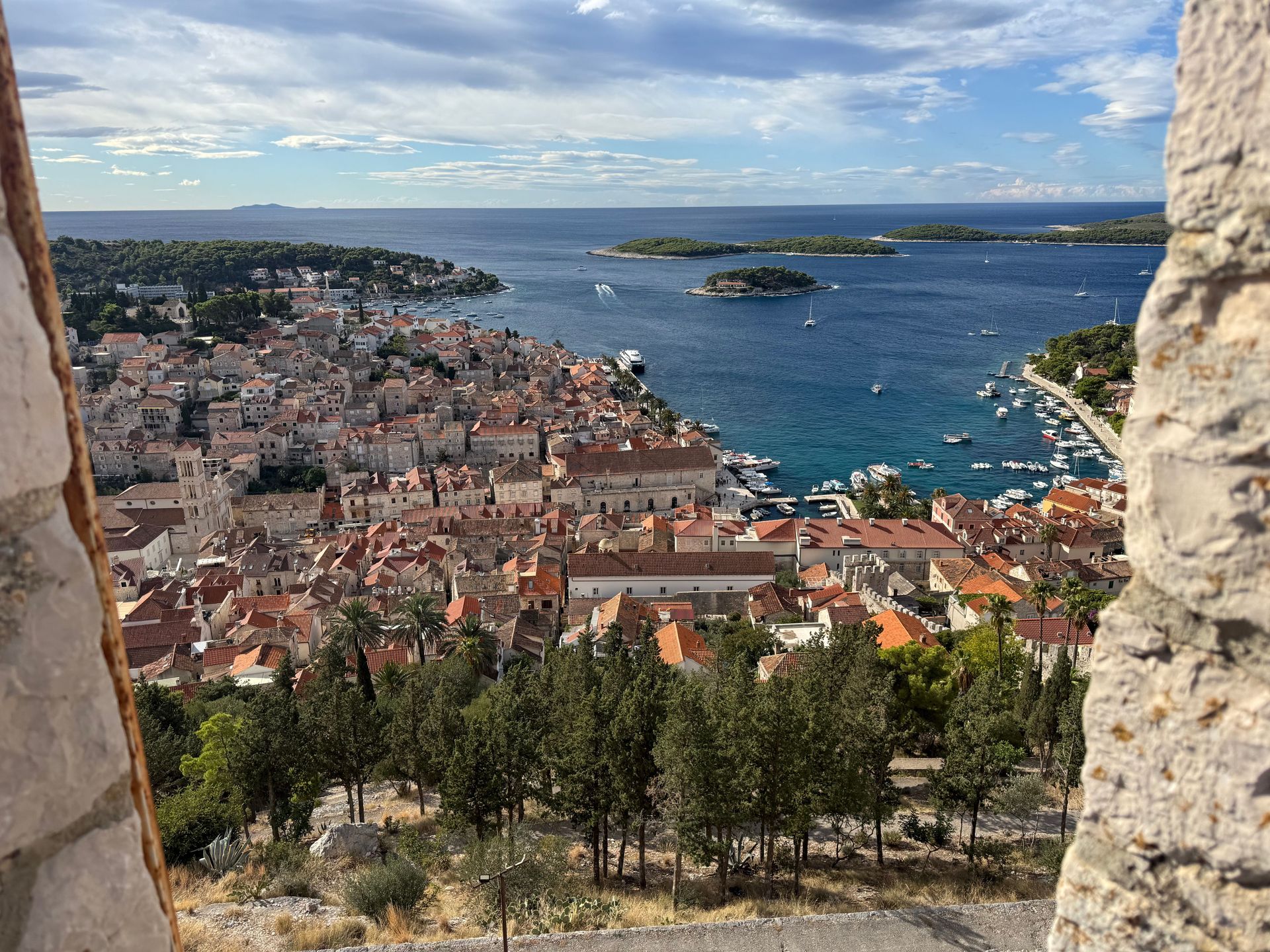
Split is the main hub for Croatia's Dalmatian coast. Jadrolinija, the state ferry company, runs car ferries and passenger catamarans linking Split to Hvar, Korčula, Brač, and Vis on a fixed public timetable, with no private boat needed at any stage.
A common route starts in Split, crosses to Brač and its town of Supetar for a short first stop, then continues to Hvar town. Hvar is known for its lavender fields and a fortress overlooking the harbor that dates to the 13th century. From Hvar, catamarans continue on to Korčula, the walled old town that claims a connection to Marco Polo. From there, travelers double back toward Split or continue south toward Dubrovnik by land or a separate ferry connection.
Vis, the most remote of the group, sits farther offshore. It had restricted civilian access until the 1990s, when it was still used as a Yugoslav military base. It's reachable from Split by a direct Jadrolinija catamaran that takes a few hours longer than the Hvar or Korčula legs. That makes it a better fit for a slower itinerary than a tight, multi-island week.
South of Split, Dubrovnik's port of Gruž runs its own separate local ferry network to the Elaphiti Islands: Koločep, Lopud, and Šipan. These islands sit close enough to shore for short, frequent crossings, unlike the longer open-water hops used farther north. They aren't connected to the Split-based route by ferry. Travelers $TRV covering both legs typically drive or bus between Split and Dubrovnik, then pick up each region's ferries locally.
Summer, from June through September, brings the most frequent sailings and the widest range of catamaran options. Winter service drops to a reduced timetable aimed more at residents than tourists, with some smaller island connections cut back to just a few sailings a week. Jadrolinija's own website lists every timetable and allows advance booking. Tickets for the shorter hops are often sold directly at the pier with no reservation needed.
Credit: Johnny Briggs / Unsplash
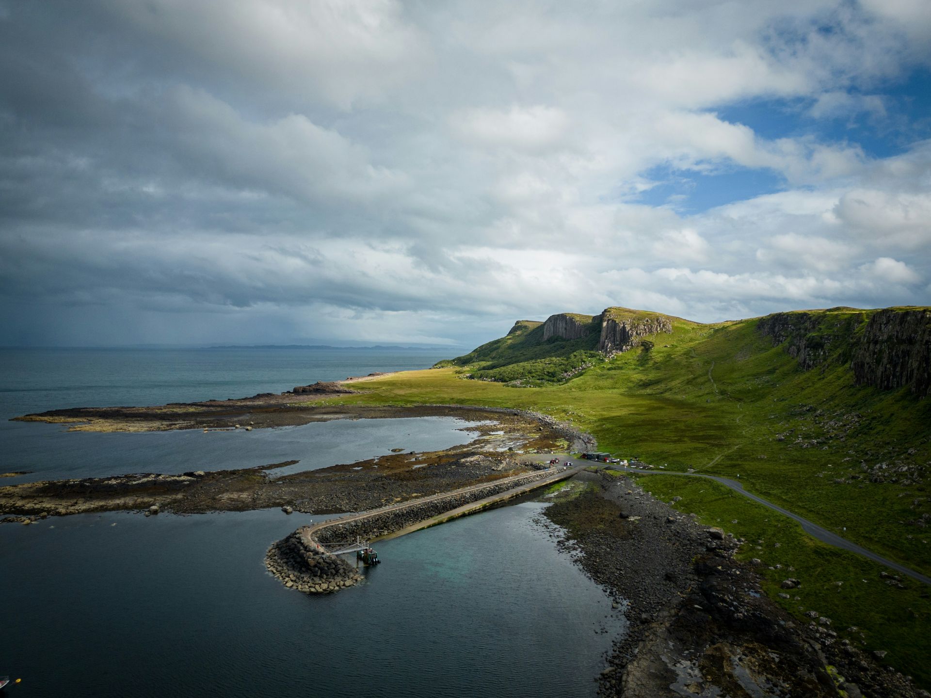
Caledonian MacBrayne, known as CalMac, operates the public ferry network linking Scotland's Inner Hebrides to the mainland. Its ships out of Oban and Mallaig reach Mull, Iona, Skye, and Colonsay, with no private boat required.
Oban functions as the main southern gateway and is often called the gateway to the isles. From there, a car and passenger ferry crosses to Craignure on the Isle of Mull in under an hour. It's one of the shortest and most frequent crossings in the network. Mull's own roads lead to Fionnphort, on the island's western tip, where a separate, much shorter passenger ferry crosses the Sound of Iona in just a few minutes. It reaches the tiny island of Iona, site of a sixth-century abbey founded by Saint Columba.
Skye, the largest of the Inner Hebrides, is connected to the mainland by a road bridge as well as a ferry option. Travelers $TRV building a ferry-only route often treat it as an optional extension reached from Mallaig, rather than a required stop. Colonsay, smaller and farther out, is served by a less frequent CalMac sailing from Oban that runs a few times a week rather than daily. That makes it a stop for a slower, more deliberate itinerary rather than a quick loop.
CalMac's timetable shifts by season. The fullest schedule runs from Easter through October, with a reduced winter service on some routes, particularly to smaller islands like Colonsay. Bookings open several months ahead, and car spaces on the busiest summer crossings, especially to Mull, sell out well before the sailing date. Foot passengers can usually still board without a reservation.
Weather cancels Hebridean ferries more often than the routes farther south on this list. The Atlantic crossing from Oban and Mallaig is exposed to open water and winter storms. Checking CalMac's live disruption page before travel is a standard part of planning any Hebridean route, summer included.
Credit: Zainal Azrin Mohamad Saari / Unsplash
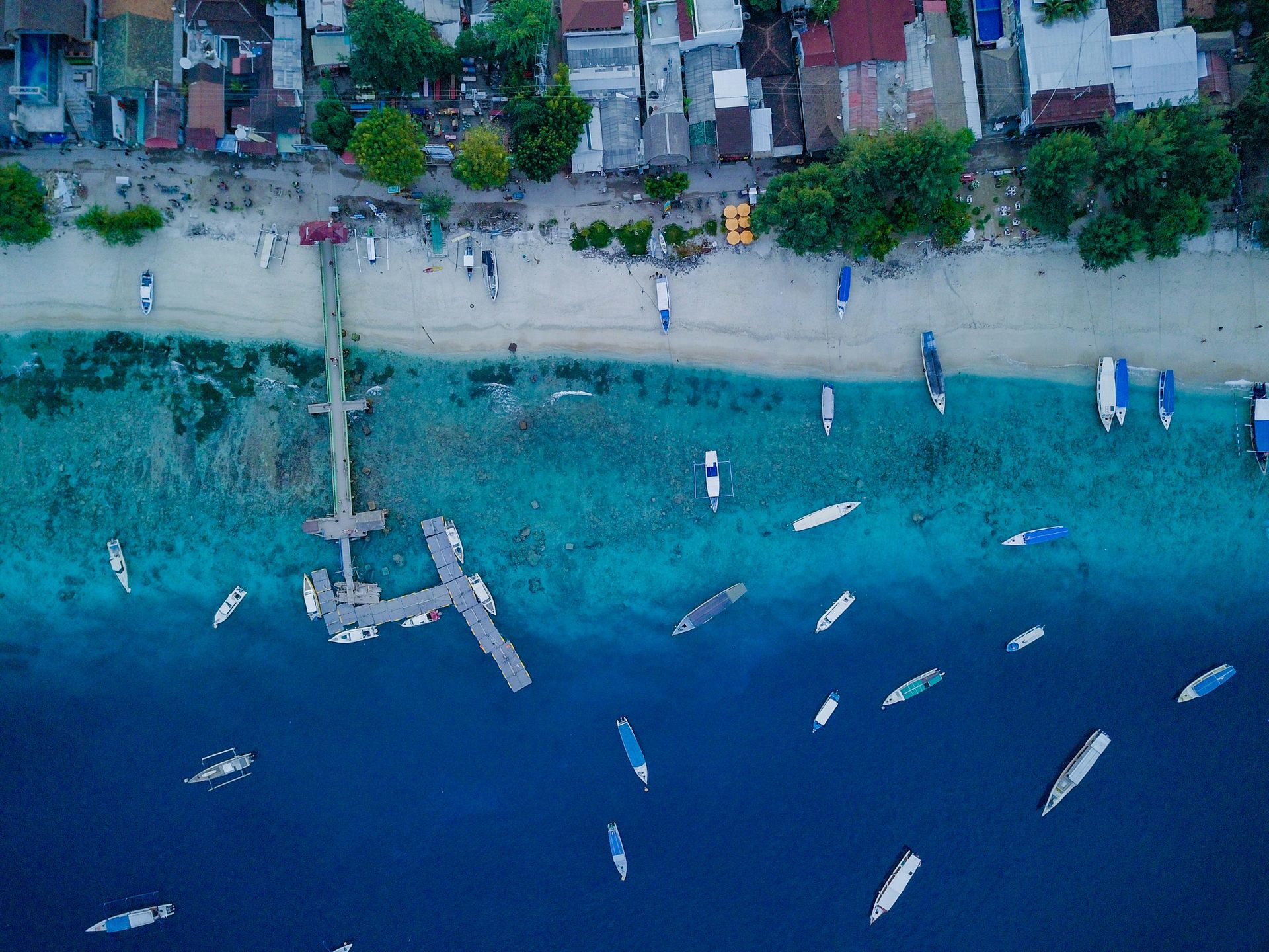
Public fast boats from Bali's Padangbai and Sanur harbors reach the Gili Islands and Lombok in under two hours. Operators including Gili Cat, Blue Water Express, and Scoot Cruise run these routes, and no private charter is needed at any point.
The typical order is Gili Trawangan first, the largest and busiest of the three, known for its nightlife and dive shops. Next comes Gili Meno, the smallest and quietest, with far less built-up shoreline. Gili Air comes last, closest to Lombok and a middle ground between the other two in both size and pace. Small public boats shuttle between the three Gilis on their own short timetable, separate from the longer Bali-to-Gili services, and those inter-island hops run cheaply and often throughout the day.
None of the Gili Islands allow motor vehicles. Transport on land is limited to bicycles and horse-drawn carts called cidomo. That's part of why the islands built a reputation as a slower, boat-dependent stop compared with Bali or Lombok itself.
From the Gilis, the same fast boat operators continue on to Lombok, landing at Bangsal or Teluk Nare on the island's northwest coast. Both are close enough to reach Senggigi or continue toward Mount Rinjani's trailheads by road. A traveler can treat Lombok as the final stop on this route or loop back to Bali on a return sailing from the same harbor.
Sea conditions shift with the monsoon. The roughest water tends to arrive between December and March, when some smaller operators reduce sailings or delay departures until conditions calm. The busier months of July, August, and the Christmas and New Year period sell out fast boat seats days in advance. Booking online ahead of the trip is standard practice, not an extra precaution.
Tickets are sold per leg, per operator, directly on each company's website or through booking aggregators that list several at once. Every seat on these routes is public and shared, with no captain's license, deposit, or private hire required.
Credit: Wren Chai / Unsplash
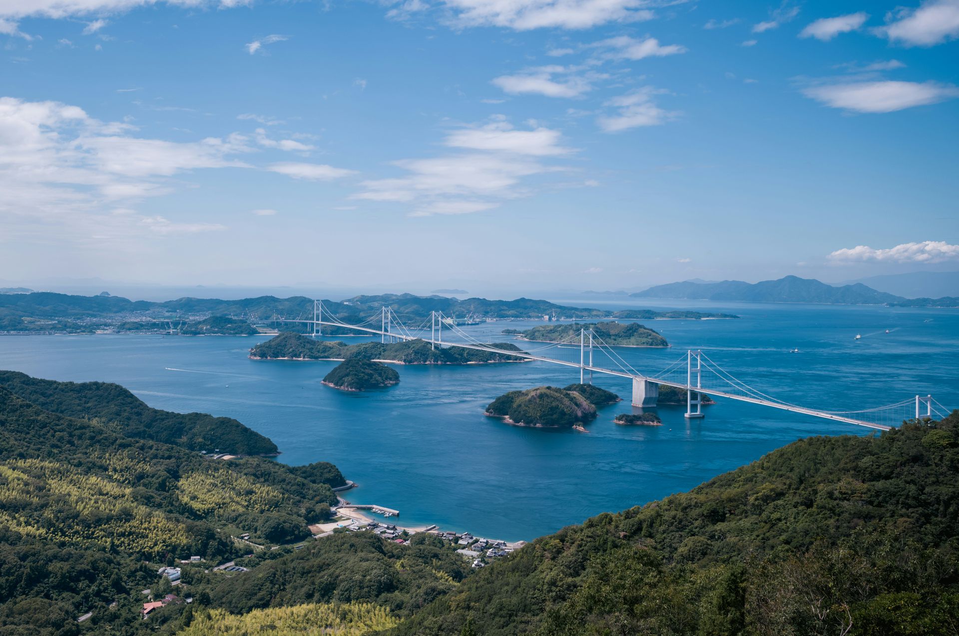
Public ferries from Uno Port in Okayama and from Takamatsu in Kagawa reach Naoshima, Teshima, and Inujima across Japan's Seto Inland Sea. The entire route runs on scheduled passenger ferries, with no private boat involved at any stage.
Naoshima is the best known stop. It's home to the Benesse Art Site and the Chichu Art Museum, built partly underground to a design by architect Tadao Ando, along with Yayoi Kusama's yellow pumpkin sculpture on the island's southern pier. The short ferry crossing from Uno Port takes about 20 minutes, which makes Naoshima the easiest of the three islands to reach on a day trip from mainland Japan.
Teshima sits a short additional ferry ride from Naoshima. It holds the Teshima Art Museum, a single-room concrete structure shaped around water rather than conventional exhibits. Inujima, the smallest of the three, converts a former copper refinery into an art space. It draws far fewer visitors than Naoshima, which makes its ferry schedule the most limited of the group, often just a handful of sailings a day.
All three islands are part of the Setouchi Triennale, an art festival held roughly every three years. The festival expands ferry frequency and adds temporary art installations across the region during its run. Every stop on this route still operates as a public ferry destination in non-festival years too.
Takamatsu, on the island of Shikoku, offers a second set of ferry connections to the same three islands. It works as an alternative starting point for travelers approaching from western Japan rather than from Okayama and the main island of Honshu. Ferry operators post schedules that shift by season, with reduced winter sailings to Inujima in particular, since it draws the smallest number of visitors of the three.
Tickets are bought at the pier or through Japan's regional ferry company websites. The entire route, from mainland port to island to island, runs on public passenger boats that any traveler can book without a group tour, a guide, or a private vessel.