The most beautiful Caribbean islands to visit in 2026
From St. Lucia's twin volcanic Pitons to Dominica's boiling volcanic lake deep in the most intact rainforest in the Caribbean
Tom Podmore / Unsplash
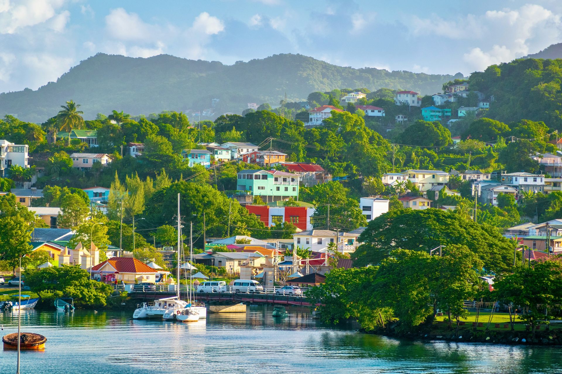
The Caribbean’s islands share a climate and a general aesthetic that the most famous beaches have taught the rest of the world to recognize: turquoise water, white sand, palm trees. But the similarities are the starting point, not the full picture. St. Lucia’s Pitons, the twin volcanic peaks rising from the southwest coast, have no equivalent elsewhere in the region. Dominica’s rain forest interior, the most ecologically intact in the Caribbean, produces a landscape whose hiking and waterfall program makes it a fundamentally different destination from the pure-beach islands around it. Barbados’s Scotland District, with its dramatic rocky terrain, belongs in a different visual category from the flat coral limestone of Grand Cayman. The Caribbean’s diversity is more significant than the common postcard imagery suggests, and the traveler who chooses between islands based on that imagery alone is making a less informed decision than the landscape differences warrant.
The practical geography of Caribbean island travel requires one more distinction: not all of the region’s most beautiful islands are easily reached. Some, like St. Barts and Canouan in St. Vincent and the Grenadines, require an inter-island flight, ferry, or private charter that adds logistics to the visit. Others, like Cozumel and Barbados, offer direct international flights, making them more accessible. The remoteness of the harder-to-reach islands is often directly related to their most appealing quality: the absence of mass tourism infrastructure that keeps Canouan’s beaches largely to those willing to make the effort to get there.
The 10 islands below appear in Travel + Leisure, selected from a larger list covering the full range of the Caribbean’s geographic, cultural, and ecological diversity. Some require an inter-island flight or ferry. Others have direct international service. The effort of reaching the harder-to-reach islands is almost always proportional to the seclusion and natural beauty that make them worth visiting.
1 / 10
1. St. Lucia has the Pitons, hot springs, and reef diving
Corinne Kutz / Unsplash
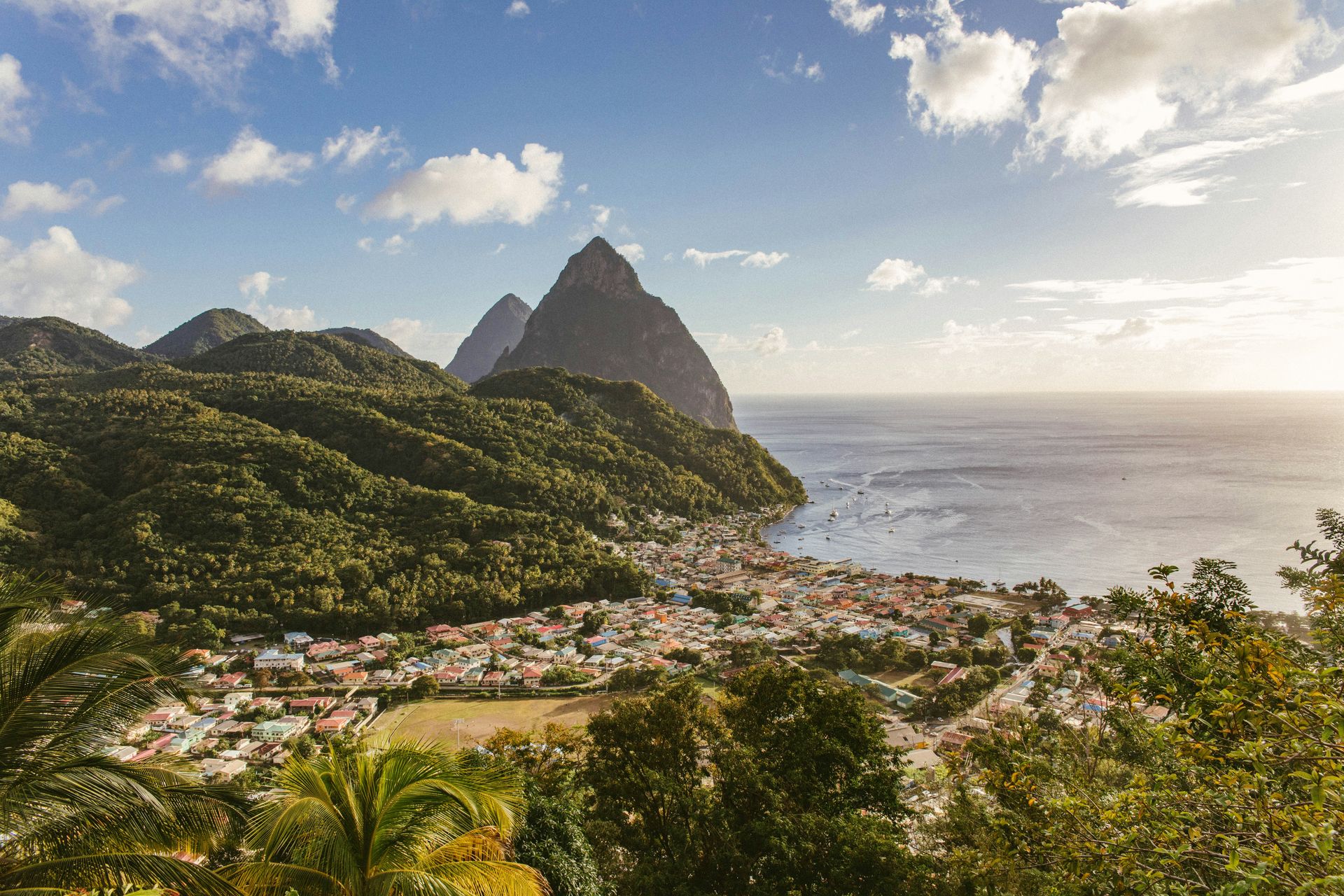
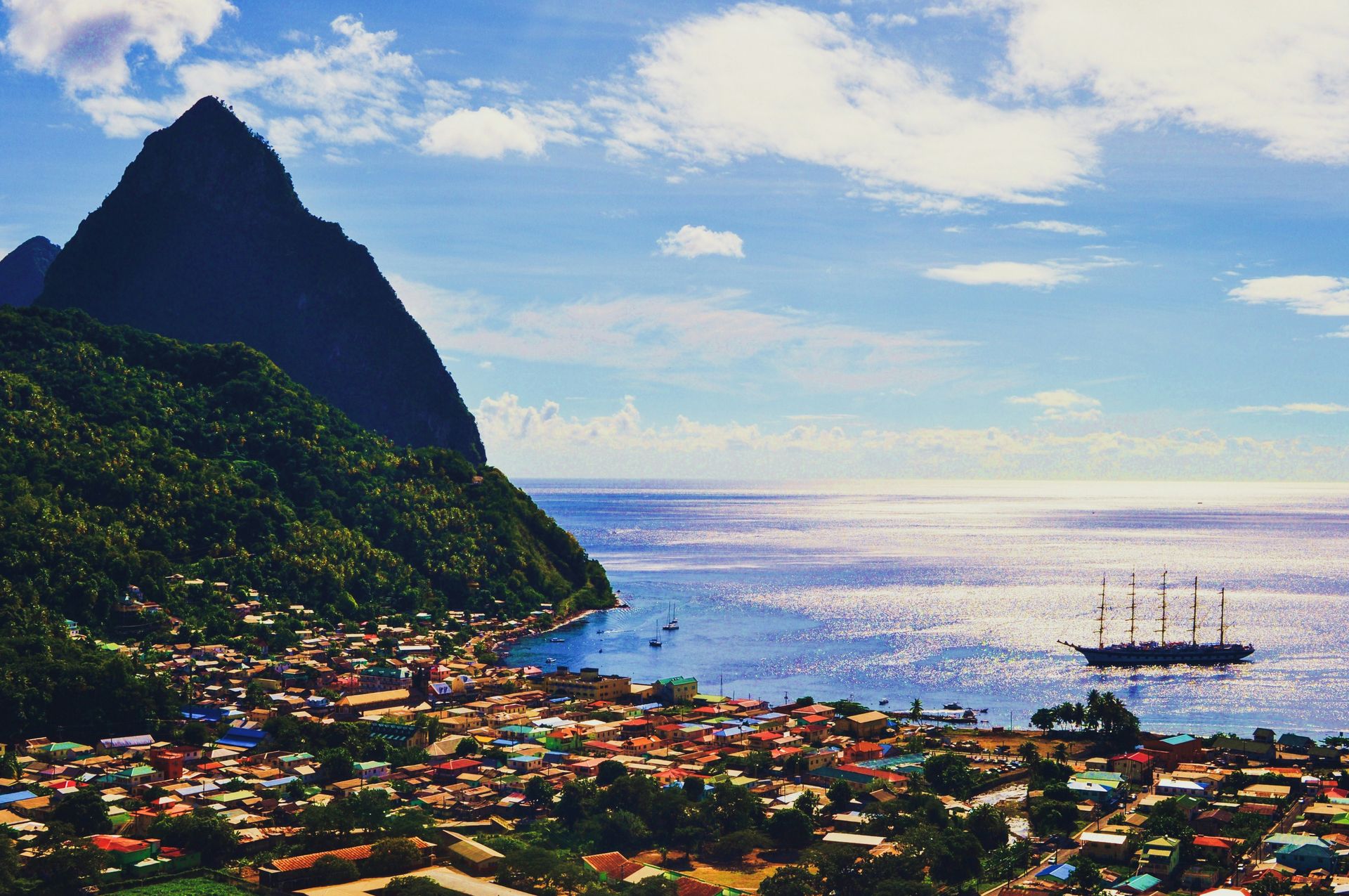
St. Lucia gives the Caribbean its most dramatic vertical landscape: the Pitons, Gros Piton at 2,619 feet and Petit Piton at 2,438 feet, rise directly from the island’s southwest coast in a shape specific to the volcanic geology of the Lesser Antilles, and their silhouette against the Caribbean Sea gives the island a visual identity unlike any other in the region. The UNESCO World Heritage designation that covers the Pitons Management Area reflects both the geological significance of the volcanic structure and the biodiversity of the rain forest that covers both peaks, and the climb that gives visitors a summit perspective on the island and the sea below requires a guide and rewards the physical investment with one of the most complete Caribbean panoramas available anywhere in the region.
The lush interior rain forest that covers St. Lucia’s mountainous center is home to the St. Lucia parrot, an endemic species found nowhere else in the world, whose population has recovered significantly from habitat destruction in previous decades, thanks to conservation programs sustained by the national parks system. The mineral-rich mud pools, thermal baths, and sulfur springs accessible in the Soufrière area give the volcanic geology a spa dimension specific to this island, and the drive-in volcano at Sulphur Springs, where visitors can approach the steaming vents by car, gives the geological program its most viscerally accessible form.
The coral reefs offshore give St. Lucia an underwater program that complements the dramatic terrestrial landscape: tropical fish and sea turtles inhabit the reefs accessible from shore in the island’s protected bays, and the dive sites around the Pitons give experienced divers access to the volcanic underwater terrain that the peaks continue below the surface. The island’s botanical gardens, including the Diamond Botanical Gardens in the Soufrière area, give the terrestrial program a cultivated natural dimension alongside the wild rain forest, which is home to the island's endemic parrot. The Tet Paul Nature Trail in the southern highlands gives a shorter but panoramic hiking alternative to the Pitons climb, with views across to Martinique on clear days and through the volcanic landscape of the island’s southern quarter.
2 / 10
2. Barbados holds 80-plus beaches and a rum culture heritage
Tom Jur / Unsplash
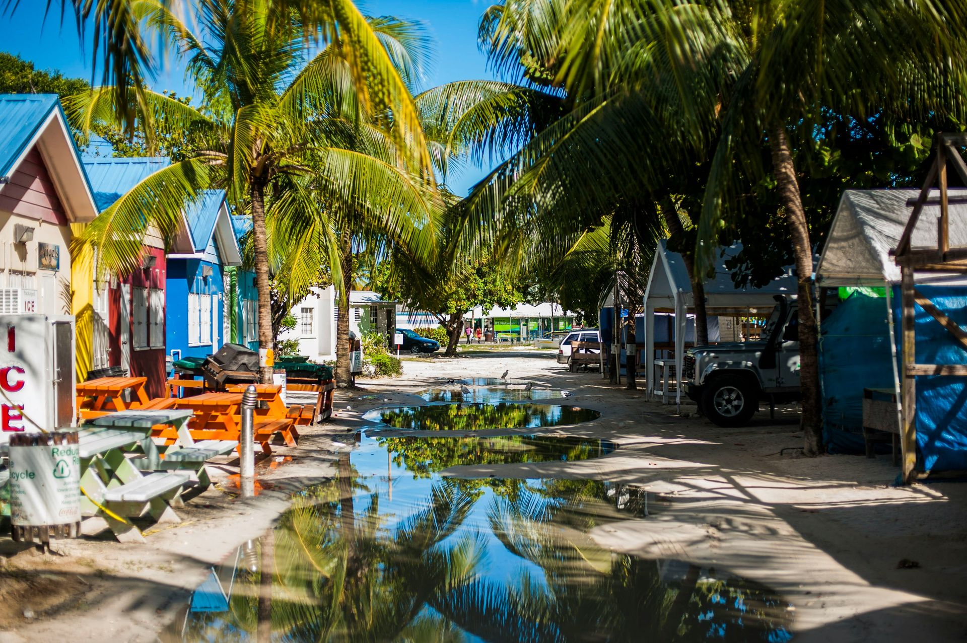
Barbados is the easternmost Caribbean island, positioned far enough into the Atlantic to give it a distinct character from the more sheltered Leeward Islands: the windward east coast, battered by the Atlantic’s open-ocean swells, produces the surf that gives the island’s surfing culture its energy, while the calmer Caribbean side gives the majority of beach resorts their protected, swimmable conditions. The more than 80 white-sand beaches that line the island’s coast, plus the distinctive pink-sand Crane Beach on the southeast coast, give the beach program a variety that few Caribbean islands of comparable size can match, and the snorkeling and diving among marine life and shipwrecks give the underwater program its depth.
The Scotland District in Barbados’s northeastern interior is the island’s geological anomaly: the dramatic rocky terrain, with eroded gullies and cliffs that genuinely recall the Scottish Highlands in their stark, treeless character, stands in dramatic contrast to the beach-and-palm imagery of the island’s more photographed western coast. The district’s character reflects the specific geological history of this exposed, windward corner of the island, and a drive through it gives the visitor a Barbados that the resort zone does not suggest.
The rum culture gives Barbados its most globally recognized culinary credential: the island claims to be the birthplace of rum, and the Mount Gay Rum Distillery, founded in 1703 and the world’s oldest continuously operating rum producer, gives the rum tourism program a historical depth and a tasting experience specific to this island’s contribution to the spirit’s history. The rum shops that dot the island’s rural roads, where the local population gathers as much for the social environment as for the drinks, give the visitor willing to engage with the non-resort side of the island a cultural experience specific to Barbadian daily life. The Garrison Historic Area near Bridgetown, the island’s capital and a UNESCO World Heritage site, offers a concentrated architectural presence of colonial history, with 17th-century military buildings repurposed for contemporary use.
3 / 10
3. The Bahamas has 700 islands with pink sand and sailing
Renato / Unsplash
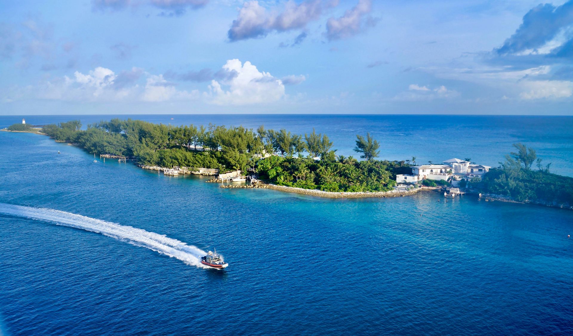
The Bahamas is not one island experience but dozens, spread across approximately 700 islands that each carry a distinct personality within the broader Bahamian identity. New Providence, home to Nassau and Paradise Island, gives the visitor the full commercial resort spectrum: modern hotels, casinos, nightlife, and the cruise ship infrastructure that makes it the country’s most visited and most economically developed island. Eleuthera offers something different: the pink-sand beaches produced by the island’s unique sand composition, the historic architecture of the old settlements, and a quieter pace that Nassau's resort density does not approach.
The Exumas give the Bahamas its most unexpected natural attraction: the swimming pigs of Big Major Spot island, a colony of feral pigs that have learned to swim out to visiting boats in expectation of food, have become one of the Caribbean’s most shared wildlife encounters, and give the Exumas a specific celebrity that the archipelago’s marine reserve and exceptional snorkeling quality also deserve. The Exuma Cays Land and Sea Park, the first marine reserve in the Bahamas, protects the underwater ecosystem of the central Exumas to a standard that the more commercially developed Bahamian waters do not maintain.
The Abaco Islands give sailing the most concentrated program in the Bahamas: the protected Sea of Abaco between the main island and its offshore cays gives sailors a calm, predictable sailing environment whose island-hopping potential, with the painted clapboard towns of Hope Town and Man-O-War Cay as its cultural anchors, gives the region a character that the broader Caribbean sailing circuit consistently ranks among its most rewarding destinations. Harbour Island in Eleuthera, whose pink-sand beach on the island’s Atlantic shore is among the most celebrated in the Caribbean, gives the Bahamas a beach destination at the luxury end of the country’s accommodation range. The specific pink coloring of Harbour Island’s beach comes from fragments of coral, shell, and the pink foraminifera that the Atlantic currents deposit on this particular stretch of sand, and the color is most pronounced and most photogenic in the early morning and late afternoon light.
4 / 10
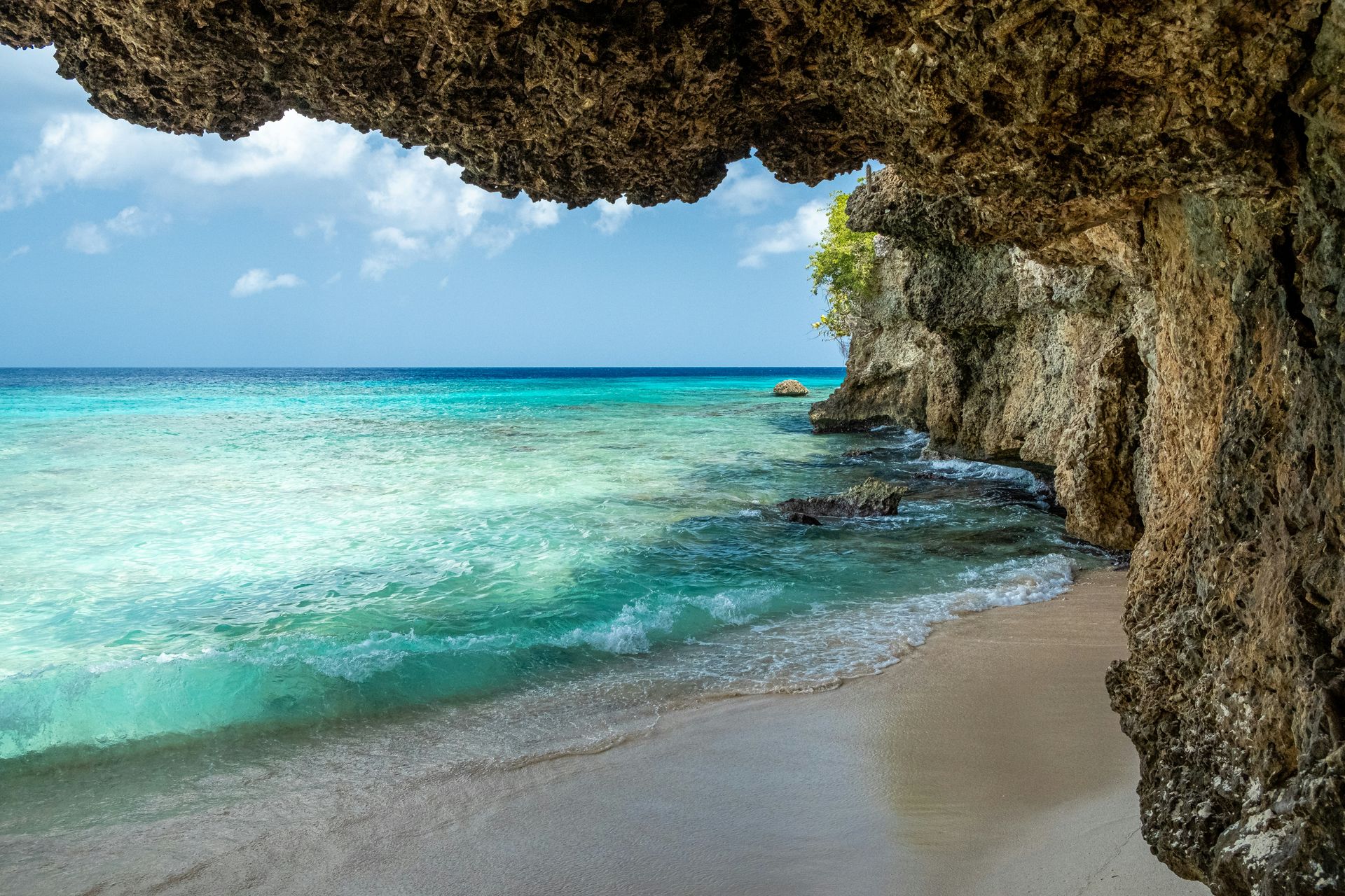
4. Curaçao sits below hurricanes with Dutch color and reefs
Den Harrson / Unsplash
Curaçao sits in the southern Caribbean, off the Venezuelan coast and below the main hurricane belt, which gives it a weather reliability that the more northerly islands cannot match. The Dutch colonial heritage that the island shares with Aruba and Bonaire, the ABC Islands of the Lesser Antilles, gives Curaçao its most immediately distinctive visual identity: the colorful merchants’ houses along Willemstad’s Handelskade waterfront, painted in the yellows, pinks, and oranges that the colonial merchants applied to a regulation that banned bright white facades, give the harbor front a visual character specific to this corner of the Caribbean and unlike anything in the region’s former British or French colonial zones.
Shete Boka National Park gives the island’s northern coast a geological dimension specific to the coral rock landscape of Curaçao: the blowholes, sea caves, and craggy formations carved by the trade wind swells into the island’s limestone edge give the northern coast a dramatic character that the calm diving beaches of the south do not share. Christoffel National Park, covering the island’s northwestern quarter, gives the ecological program its mountainous anchor: the summit of Mount Christoffel at 1,227 feet gives a view across the island and the Venezuelan coast, and the wild orchids and native deer that the park supports give the hiking a natural history dimension beyond the physical achievement of the climb.
The coral reef diving along Curaçao’s sheltered southern coast gives the island its strongest underwater credential in the region: the reef runs close to shore along most of the western coastline, making shore diving possible without a boat and giving even non-certified snorkelers access to the reef’s edge from the beach. The visibility in the calm, protected southern waters frequently exceeds 30 meters, and the reef’s health, relative to more heavily visited Caribbean dive destinations, offers experienced divers a level of coral and fish diversity that justifies a trip specifically for the underwater program.
5 / 10
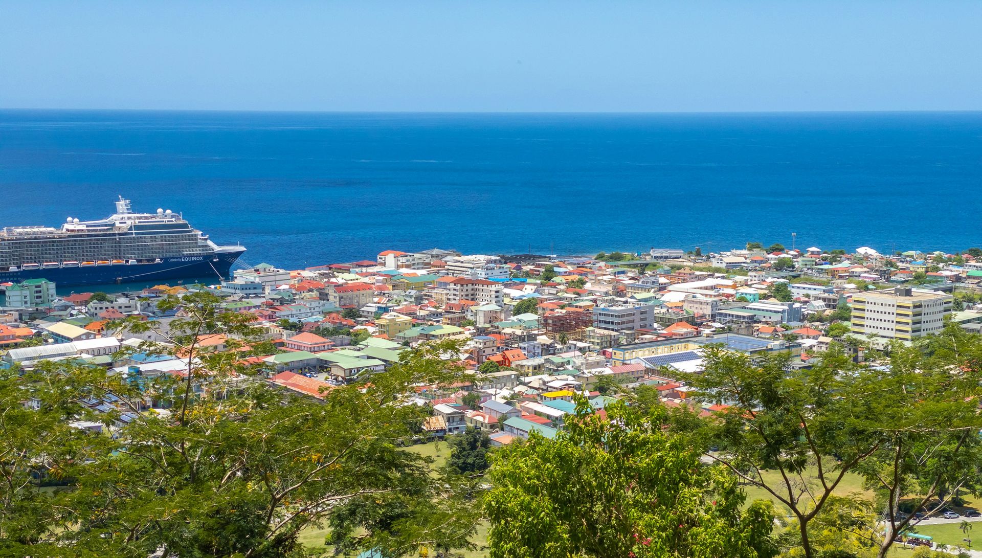
5. Dominica protects the rainforest and a volcanic boiling lake
Nario Espirit / Unsplash
Dominica is not a beach destination by the standards of its neighbors, and the absence of extensive white-sand beaches is the characteristic that has protected the island from the mass tourism that has changed the more beach-oriented Caribbean islands around it. What Dominica offers instead is the most ecologically intact interior in the Caribbean: rainforests that cover the island’s mountainous interior produce a landscape of waterfalls, rivers, endemic wildlife, and volcanic features whose combination is unavailable elsewhere in the region at the same density and in the same state of preservation.
Boiling Lake, a flooded volcanic fumarole in the island’s interior accessible via a strenuous five-to-six-hour round-trip hike, gives Dominica its most geologically specific attraction: the lake bubbles continuously from the molten magma below, and the hike through the Valley of Desolation that precedes it gives the approach a visual preparation for the lake’s drama through a landscape of steaming fumaroles and sulfurous vents. The hike requires a guide and a reasonable level of fitness, and both reflect the seriousness of the terrain the route traverses.
The whale watching from Dominica gives the island a marine wildlife dimension that few Caribbean islands can match: the offshore waters are among the most reliably productive sperm whale watching grounds in the Atlantic, and the year-round whale presence, the possibility of in-water encounters with snorkelers, and the island’s commitment to marine mammal protection together give the whale watching program a depth that the more resort-focused Caribbean competitors cannot provide. The diving among the island’s volcanic underwater terrain, including hot springs and sulfur vents visible through clear water, gives the underwater program a geological specificity unique to Dominica. The Kalinago Territory, a legally recognized reserve on the island’s northeastern coast where the indigenous Kalinago people maintain traditional practices, gives Dominica a living indigenous cultural dimension, making it the only Caribbean island with a legally recognized indigenous territory whose population continues traditional craft, fishing, and agricultural practices.
6 / 10
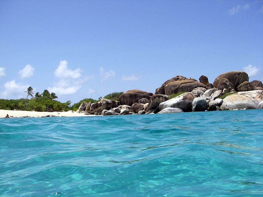
6. Virgin Gorda features The Baths and pristine BVI beaches
Daniel Lobo / Wikimedia Commons (CC BY 2.0)
Virgin Gorda is the third-largest of the British Virgin Islands, accessible by ferry from Tortola or by boat from the wider BVI sailing circuit, and its most celebrated single feature is The Baths National Park: a beach and natural pool environment created by massive granite boulders that were deposited by geological activity and erosion into the configurations that visitors now navigate between, through, and around. The rock formations create a series of pools and seawater grottos whose granite, turquoise water, and white sand give the setting a distinct character found nowhere else in the Caribbean, and the swimming and snorkeling within the boulder formations add an active dimension alongside the visual spectacle.
Spring Bay, adjacent to The Baths, gives visitors a less crowded alternative with clear, calm water for snorkeling and a natural swimming pool formed by its own circle of boulders. The beach at Spring Bay and the grass and picnic facilities on the adjacent lawn give the visit a relaxed, low-infrastructure quality that the more resort-developed Caribbean beaches have traded away in the construction of their facilities, and the absence of that infrastructure is itself a specific quality of the British Virgin Islands’ tourism model. Virgin Gorda’s Bitter End Yacht Club, rebuilt after hurricane damage and a fixture of the BVI sailing circuit, gives the North Sound its social anchor and gives the visiting sailor a specific destination whose mooring, dining, and water sports have defined the Sound’s character for decades.
The wider BVI sailing circuit that connects Virgin Gorda to Tortola, Norman Island, and the outer islands gives the destination its most complete exploration format: the protected Sir Francis Drake Channel and the BVI’s consistent trade winds give the sailing conditions that have made this archipelago a global sailing destination, and Virgin Gorda’s North Sound, with its collection of mooring buoys and beach bars accessible only by water, gives the sailing visitor a specific social and scenic environment specific to British Virgin Islands maritime culture.
7 / 10
7. Grenada earns its Spice Isle name in the rainforest and reef
Priscilla Du Perez / Unsplash
Grenada’s nickname, the Spice Isle, reflects the specific agricultural production that has shaped the island’s economy and identity since the colonial period: nutmeg, cloves, cinnamon, allspice, pepper, and vanilla have been grown in Grenada’s rain forest interior for centuries, and the nutmeg processing facility at Gouyave, where the spice is sorted, dried, and prepared for export in a process visible on a tour, gives the visitor the most direct encounter with the agricultural tradition that names the island. The scent of nutmeg that drifts through the farming areas of St. Patrick parish in the north gives the driving day its most specifically Grenadian sensory dimension.
The beaches along the island’s 75 miles of coastline give Grenada the conventional Caribbean beauty that the spice history and rain forest interior complement without replacing: Grand Anse Beach on the southwest coast, with its two miles of white sand and calm Caribbean water, is consistently cited among the best beaches in the Caribbean and gives the beach program its most celebrated anchor. The diving around Grenada gives the underwater program its most distinctive feature: the Molinere Underwater Sculpture Park, an artificial reef created by artist Jason deCaires Taylor, whose life-size human figures have become colonized by coral over the years since installation, giving the dive a conceptual and visual experience that the natural reef program elsewhere in the Caribbean cannot replicate.
The rum distilleries give the Grenada visit its most socially embedded program: the River Antoine Rum Distillery, the oldest continuously operating water-powered rum distillery in the Caribbean, has been operating since 1785 and gives visitors a production process whose technology and methods connect directly to the 18th-century tradition from which Caribbean rum culture descends. Grand Anse Beach on the southwest coast gives Grenada the conventional beach appeal that the spice history and rainforest interior might obscure: two miles of white sand with calm Caribbean water, consistently cited among the best beaches in the Lesser Antilles.
8 / 10
8. Cozumel dives the Mesoamerican Reef off the Yucatan coast
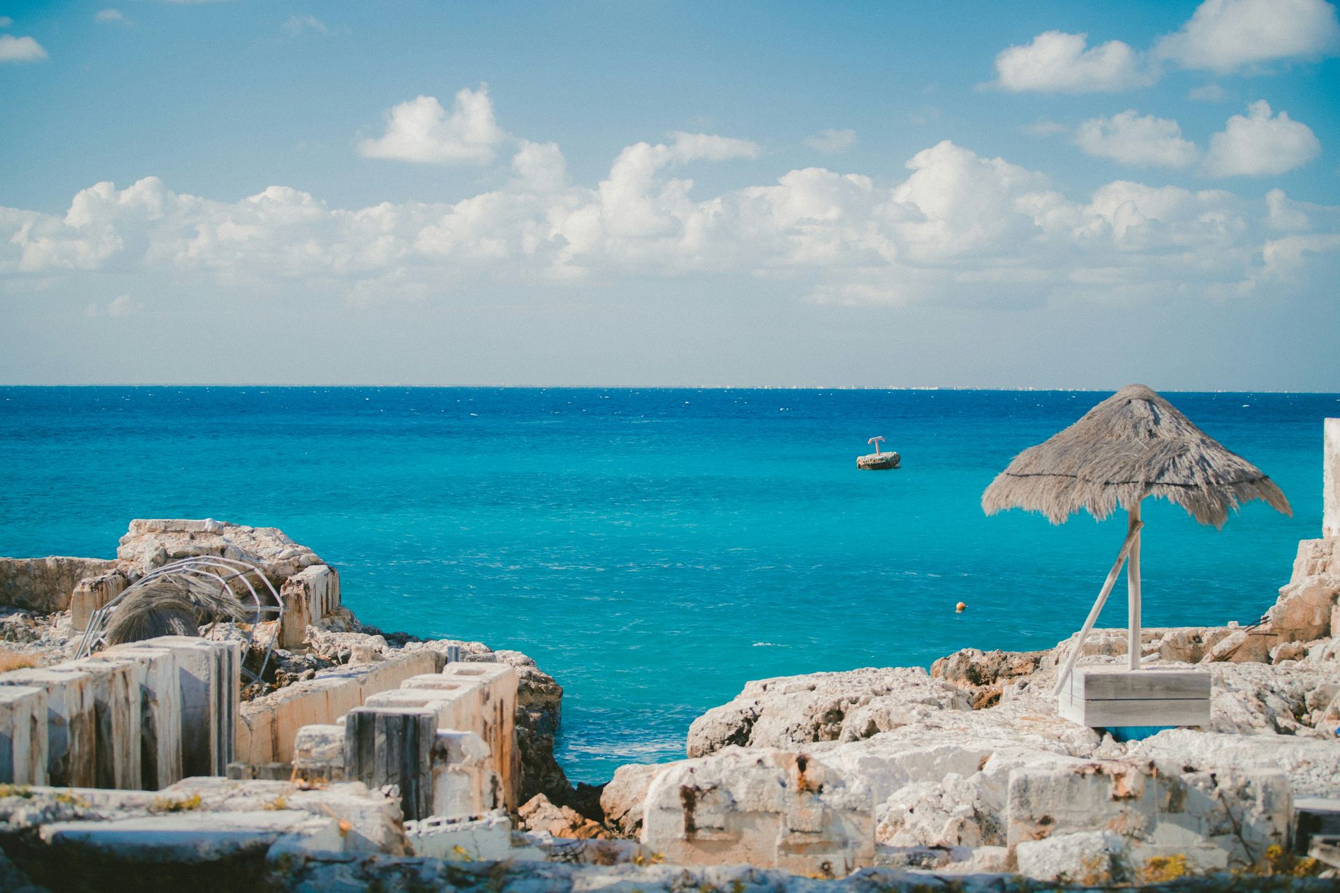
Jakob Owens / Unsplash
Cozumel is a Mexican island off the eastern coast of the Yucatán Peninsula, positioned on the Mesoamerican Barrier Reef, the second-largest barrier reef system in the world, and the quality of the diving and snorkeling that this position makes available gives Cozumel a specific claim on the dive travel market that few Caribbean destinations can match in terms of reef size, water clarity, and fish diversity. The reef runs along the island’s western shore in an unbroken structure accessible from shore dives, boat dives, and snorkeling trips whose operators work the same reef system from multiple entry points at different depths and conditions.
The current that runs along the reef, driven by the Yucatán Channel’s circulation, gives the drift diving a specific character whose passive flow carries divers along the reef wall without finning effort, giving the underwater observation a relaxed, cinema-quality engagement with the marine life, not the active navigation that the drift-free Caribbean reef dives require. The coral formations in the best-preserved sections of the reef, particularly in the Palancar and Colombia reef zones designated as protected areas within the Cozumel Reefs National Marine Park, give the dive a coral structure density that the Caribbean’s degraded reef systems rarely produce at the same scale.
Punta Sur Ecological Park on the island’s southern tip gives the terrestrial program its most concentrated form: the white-sand beaches, the crocodile-inhabited lagoons, the lighthouse whose summit gives coastal views across the reef-fringed southern coast, and the kayaking and snorkeling access from the park’s beach give the visitor a full-day program in a protected natural area whose ecological character differs from the resort beach zones that cover most of the island’s western coast. The ferry connection from Cozumel to the mainland city of Playa del Carmen, running regularly throughout the day, gives the island a practical link to the Riviera Maya’s broader attractions for travelers who want to combine island and mainland experiences. The island’s San Gervasio archaeological site, a Maya ceremonial center dedicated to the goddess Ix Chel, adds a cultural and historical dimension to the visit alongside the marine program.
9 / 10
9. Anguilla offers the Caribbean’s finest white sand beaches
-1920x1272.jpg)
Steve Adams / Unsplash
Anguilla is a small, flat island in the eastern Caribbean whose primary appeal rests on a specific quality of beach sand that visitors consistently describe as the finest and whitest in the Caribbean: the island’s beaches, including Shoal Bay East, Meads Bay, and Rendezvous Bay, produce a texture underfoot and an appearance against the turquoise water that gives the beach experience a visual standard that even the most celebrated Caribbean alternatives have difficulty matching in direct comparison. The island’s position in the Leeward Islands gives the Caribbean side a calm, warm-water environment whose swimming and water-sports conditions are reliable year-round.
Shoal Bay Beach, on the island’s eastern coast, is the most celebrated of the Anguilla beaches: a long, crescent-shaped stretch whose fine white sand and the turquoise clarity of the water immediately offshore give the setting the photographic perfection that Caribbean beach travel promises and delivers inconsistently. The beach bars and restaurants at Shoal Bay’s edges give the beach day its social dimension without the commercial density that the more heavily developed Caribbean beaches impose on the same setting.
The Wallblake House, dating from the late 1700s and considered the oldest structure on the island, gives Anguilla a colonial historical dimension alongside the beach culture: the restored plantation great house and its grounds give the visitor an encounter with the island’s sugar plantation history that the resort culture and the modern luxury hotel development around the beaches do not address in the same terms, and the contrast between the plantation history and the contemporary luxury tourism that has made Anguilla a high-end Caribbean destination gives the island’s cultural program a specific historical tension worth engaging. The Anguilla Heritage Trust maintains several of the island’s historical sites, and the local archaeological museum provides a documentary complement to the plantation house visit, focusing on Amerindian and colonial history. The island’s off-season from May through November brings lower accommodation rates without significantly compromising the beach experience that the year-round warm water and reliable sunshine provide.
10 / 10
10. Grand Cayman pairs Seven Mile Beach with an iguana park
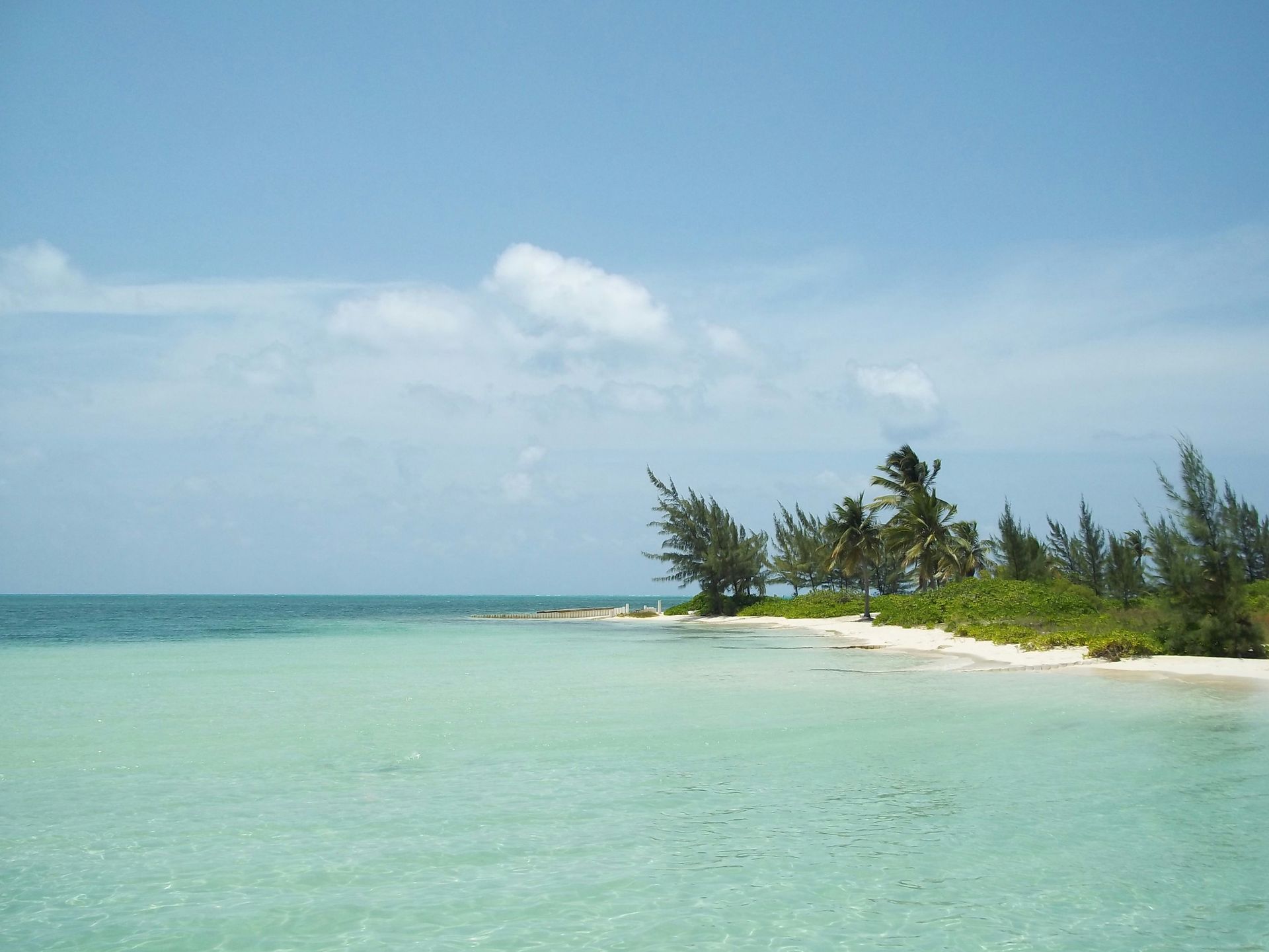
Becky Vogel / Unsplash
Grand Cayman is the largest of the Cayman Islands, a British Overseas Territory in the western Caribbean, and its most celebrated single feature is Seven Mile Beach: a continuous stretch of powdery white sand on the island’s western coast flanked by the turquoise calm of the Caribbean Sea, lined with the resort and restaurant infrastructure that Grand Cayman’s high-end tourism model has concentrated along this coastal corridor. The beach’s sand quality, water color, and calm swimming conditions give it a consistent ranking among the Caribbean’s best, and the dining and bar scene that runs parallel to the sand gives the beach day its evening continuation without requiring transport.
The Queen Elizabeth II Botanic Park on the island’s eastern end gives Grand Cayman a natural dimension that the Seven Mile Beach resort zone does not provide: the tropical gardens and the two-acre lake at the park’s center support the endemic blue iguana, a critically endangered reptile found only on Grand Cayman, whose breeding population at the park has been instrumental in recovering the species from near-extinction. The iguana encounters that the park’s program makes possible, with the large lizards visible at close range on the garden paths, give the wildlife visit a specific Grand Cayman experience unavailable elsewhere in the Caribbean.
The George Town duty-free shopping that has given Grand Cayman a commercial identity distinct from its natural assets gives the island a specific appeal for the visitor whose travel goals include both natural beauty and retail opportunity, and the stingray interactions at Stingray City in the North Sound, where Atlantic stingrays congregate in shallow water that visitors can wade into and touch, give Grand Cayman its most widely shared wildlife encounter. The island’s dive sites give the underwater program its professional quality: the clarity of the Cayman Islands’ water and the proximity of the reef wall to shore provide conditions that the island’s substantial scuba tourism industry reflects.
