Yasuaki Uechi / Unsplash
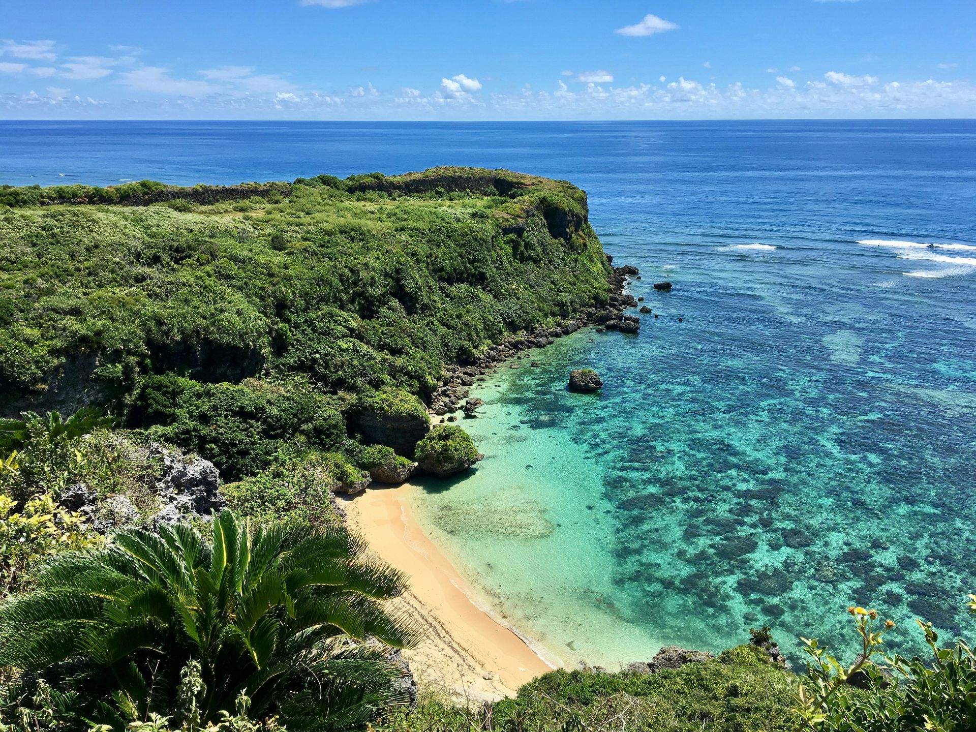
Japan’s island geography is among the most varied on Earth. The country’s main four islands, Honshu, Hokkaido, Kyushu, and Shikoku, are familiar to most travelers, but the thousands of smaller islands that extend across nearly 25 degrees of latitude from the subtropical south to the subarctic north represent a natural diversity that few countries can concentrate within a single political boundary. The Okinawa archipelago’s coral reefs and turquoise shallows belong to the same country as Hokkaido’s powder snow ski resorts. The ancient cedar forests of Yakushima Island, whose trees predate the oldest human structures in Europe, grow alongside the volcanic alpine flower fields of the remote northern islands.
The practical implication of this geographic range is that Japan’s island travel rewards the specificity of intent. The traveler who wants to see wild dolphins and migratory whales in the Pacific will find the Ogasawara Islands the specific destination that produces that experience. The traveler who wants to snorkel an untouched coral reef ecosystem will find that Tokashiki Island and the Kerama group offer the most pristine access available in Japan. The traveler who wants to hike through a landscape that looks like a fantasy novel illustration will find that Yakushima offers exactly that, with moss-covered cedar trees up to 7,000 years old.
The 10 islands below appear in Travel + Leisure, selected from across Japan’s full geographic range from the subarctic north to the subtropical Yaeyama archipelago. The list covers the full spectrum of what Japanese island travel offers: UNESCO natural heritage, tropical marine ecosystems, volcanic terrain, ancient cultural traditions, and the specific quality of remoteness that a 24-hour ferry crossing across the open Pacific can deliver exclusively to those willing to make the journey.
1 / 10
Marek Piwnicki / Unsplash
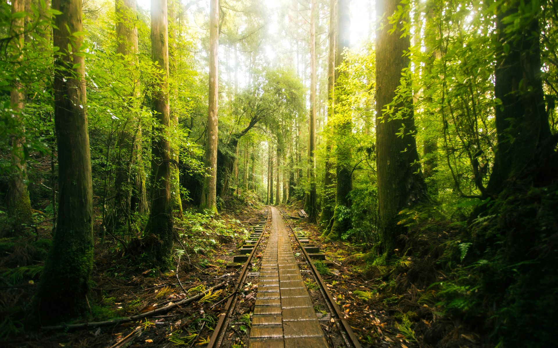
Yakushima Island sits off the southern tip of Kyushu and holds a UNESCO Natural World Heritage designation earned by the specific character of its interior mountain forest: the ancient moss-covered cedar trees, known as yakusugi, grow at elevations above 1,600 meters and reach ages of between 1,000 and 7,000 years, making them among the oldest living organisms on the island’s surface. The most celebrated individual tree, Jomon Sugi, is estimated to be at least 2,170 years old and possibly as old as 7,200, and the roughly four-hour round-trip hike to reach it adds a physical investment appropriate to encountering something that old.
The island’s geography compresses a remarkable range of ecosystems into a small area: the coastal villages sit in warm subtropical conditions, the mid-elevation forest is temperate, and the mountain summits above 1,900 meters are cold and frequently cloud-wrapped. The rainfall this compression produces, among the highest in Japan, feeds the waterfalls and natural hot springs that give Yakushima its otherworldly, almost permanently damp atmosphere. The mist that clings to the yakusugi forest at altitude gives the island its most visually specific quality and inspired the artistic direction of Studio Ghibli’s Princess Mononoke, whose forest environment is a direct response to Yakushima’s ancient cedar landscape.
Wildlife on Yakushima includes the island’s two endemic subspecies: the Yakushima macaque and the Yakushima sika deer, both smaller than their mainland cousins and visible throughout the island’s trails without particular effort. The island’s remoteness from the main tourism circuits of Kyushu gives it a quietness that the natural environment’s size and complexity amplify, and the small guesthouses and ryokan in the coastal village of Miyanoura give the overnight visitor the accommodation appropriate to an island whose scale and character are best understood across multiple days, not condensed into a single day trip from the mainland. The Shiratani Unsuikyo ravine trail, a shorter alternative to the Jomon Sugi route, offers an ancient forest atmosphere on a three-to-four-hour round-trip accessible to hikers without the overnight trail permit required for the longer route.
2 / 10
Takashi Miyazaki / Unsplash
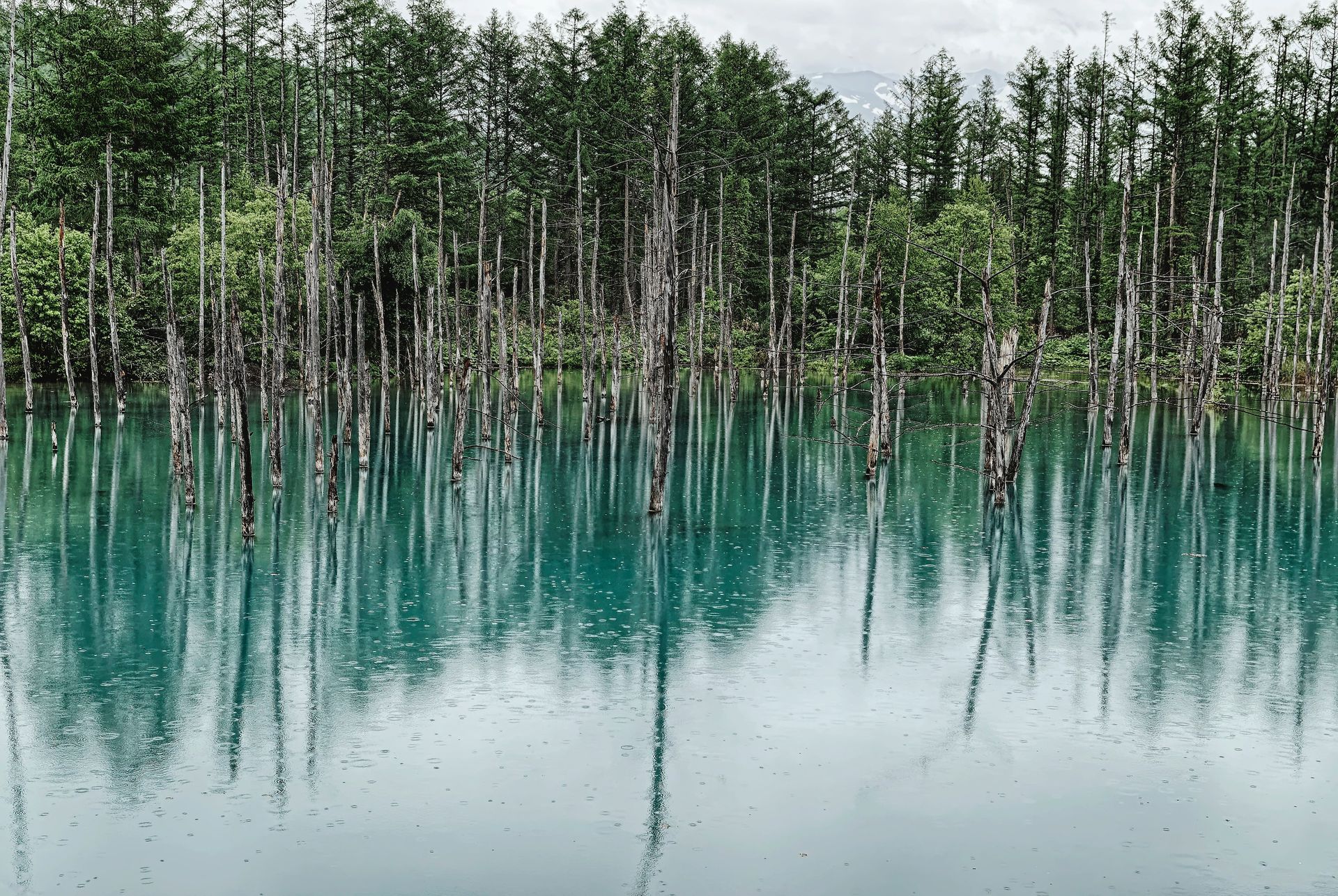
Hokkaido is the northernmost of Japan’s four main islands and the one whose landscape most completely departs from the country’s subtropical and temperate stereotypes. The island’s subarctic position, with winters that deliver consistent cold-smoke powder snow across a mountain terrain that several internationally ranked ski resorts have developed into some of the best skiing on earth, gives Hokkaido a winter travel identity specific to Japan’s northern geography. Niseko, the most internationally recognized of the Hokkaido ski areas, receives an average annual snowfall of over 15 meters, much of it in the dry, light powder that the Siberian weather systems deliver to Hokkaido before passing south toward Honshu.
The summer landscape reverses the visual logic entirely: Hokkaido’s lavender fields in Furano, the wild lupine meadows along the northern coastal roads, and the alpine flower carpets on the island’s volcanic peaks give the warm-weather months a botanical spectacle that winter’s white uniformity does not predict. The summer wildflower season in Daisetsuzan National Park, Japan’s largest national park by area, gives the high-altitude landscape its most expansive expression, with alpine flowers covering the plateau terrain between the volcanic summits in a seasonal display specific to the island’s latitude.
Hokkaido’s autumn offers a third visual program: the hardwood forests of the interior, a rarity in Japan, where conifers dominate the mountain landscape, turn orange and yellow in a color display whose intensity is determined by the island’s specific tree composition and the timing of the first frosts. The island’s food culture, centered on dairy products, seafood from the cold northern waters, and the soup curry that the Sapporo restaurant culture developed into a regional dish, gives the visit a culinary dimension specific to Japan’s northernmost prefecture. Hokkaido’s fresh uni, the sea urchin harvested from the cold northern waters and served in sushi restaurants from Sapporo to the coastal fishing towns, is a specific product whose quality reflects the cold, clean sea conditions that the island’s northern latitude produces and that the warmer southern waters do not replicate.
3 / 10
Wataru Sato / Unsplash
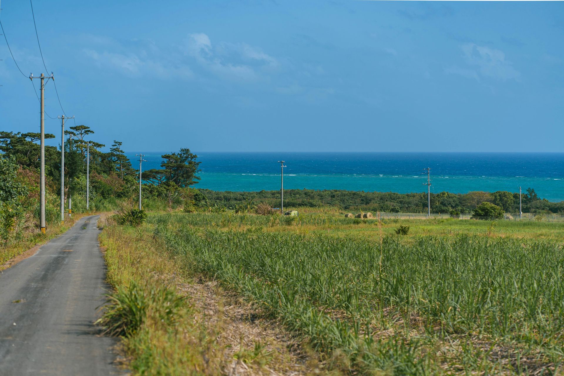
Iriomote Island is the largest of the subtropical Yaeyama Islands, positioned at the southwestern extreme of Japan near the Taiwan coast, and its primary character is the opposite of the beach resort that the surrounding turquoise water might suggest: approximately 90 percent of the island is covered in dense subtropical jungle, mangrove forest, and river systems whose terrestrial wildlife and botanical richness give Iriomote a natural history depth specific to an island whose remoteness has limited development pressure. The Iriomote wildcat, an endangered subspecies found only on this island, is an endemic species, with an estimated population of fewer than 100 individuals, making Iriomote one of the most significant small cat conservation sites in Asia.
The Urauchi River, the longest river in Okinawa Prefecture, gives the island’s interior its most accessible exploration route: boat tours that navigate the river’s mangrove-lined lower course and hiking trails that continue beyond the boat terminus toward the Kanpire Falls deep in the jungle interior give the visitor a progression from water-based to foot-based travel that covers two distinct versions of the island’s interior ecosystem in a single day’s excursion. The mangrove forest at the river’s mouth, one of the largest in Japan, supports a specific tidal flat ecology, whose wading birds and mud-flat crabs give the estuary a wildlife observation dimension that open-water beaches do not.
The beaches on Iriomote’s coast are genuinely spectacular, with the white sand and turquoise water typical of the Yaeyama group, and the coral reefs that surround the island give snorkelers and divers a marine environment whose health reflects the island’s limited coastal development. Sea kayaking through the mangrove channels and the star sand beaches, where the sand is composed of the exoskeletons of single-celled organisms rather than ground mineral particles, gives Iriomote the specific natural features that distinguish it from the more accessible Okinawa islands to the north. The Pinaisara Falls, the highest waterfall in Okinawa Prefecture, is accessible by kayak through the mangrove channels, offering a unique approach to the waterfall that makes the destination as memorable as the waterfall itself.
4 / 10
Leo Rivas / Unsplash
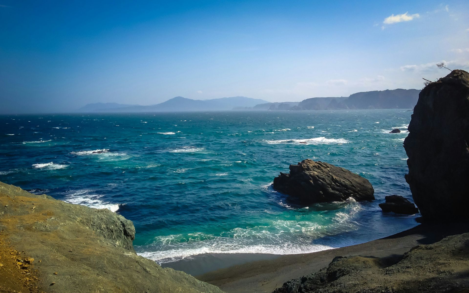
Miyako Island is the largest island in the Miyako archipelago within the broader Okinawa group, and its most consistent claim on visitors is the clarity of the water that surrounds it: the coral reef ecosystem and the specific oceanographic conditions of this stretch of the Pacific produce water visibility that snorkelers and divers report exceeding 30 meters on calm days, giving the underwater world a visual openness that the murkier inshore waters of the main Okinawa islands do not approach. The powdery white beaches that line the island’s coast, including the frequently cited Maehama Beach, whose shallow, gently sloping floor extends the swimmable zone far from the shore, give the surface program its most conventionally paradisical expression.
The Irabu Bridge, opened in 2015 and connecting Miyako Island to the neighboring Irabu Island by road, is the longest toll-free bridge in Japan at just under 3.5 kilometers, and the drive across it gives the visitor the specific visual experience of crossing open ocean by car with a coral reef visible through the bridge’s grating beneath the tires. The combined exploration of Miyako and Irabu gives the visit a two-island geography that a single day’s driving can cover in full, with the quieter Irabu’s beaches and dive sites offering an alternative to Miyako’s more visited spots.
The sunsets over the East China Sea from Miyako’s western shores give the island its most photographed daily event: the flat horizon and the absence of islands to the west give the sunset an unobstructed arc that the more enclosed bays and harbor settings of other Okinawa islands interrupt. The island’s agricultural identity, centered on sugarcane cultivation that covers much of the flat inland terrain, gives the interior a pastoral character that contrasts with the coastal brilliance and adds a specifically Miyako dimension to the visual landscape beyond the beach. The Miyako Island Ocean Park at the island’s northern tip gives snorkelers direct access to a coral reef from a beach with a reef monitoring program that tracks the health of the surrounding marine ecosystem.
5 / 10
Hiroko Yoshii / Unsplash
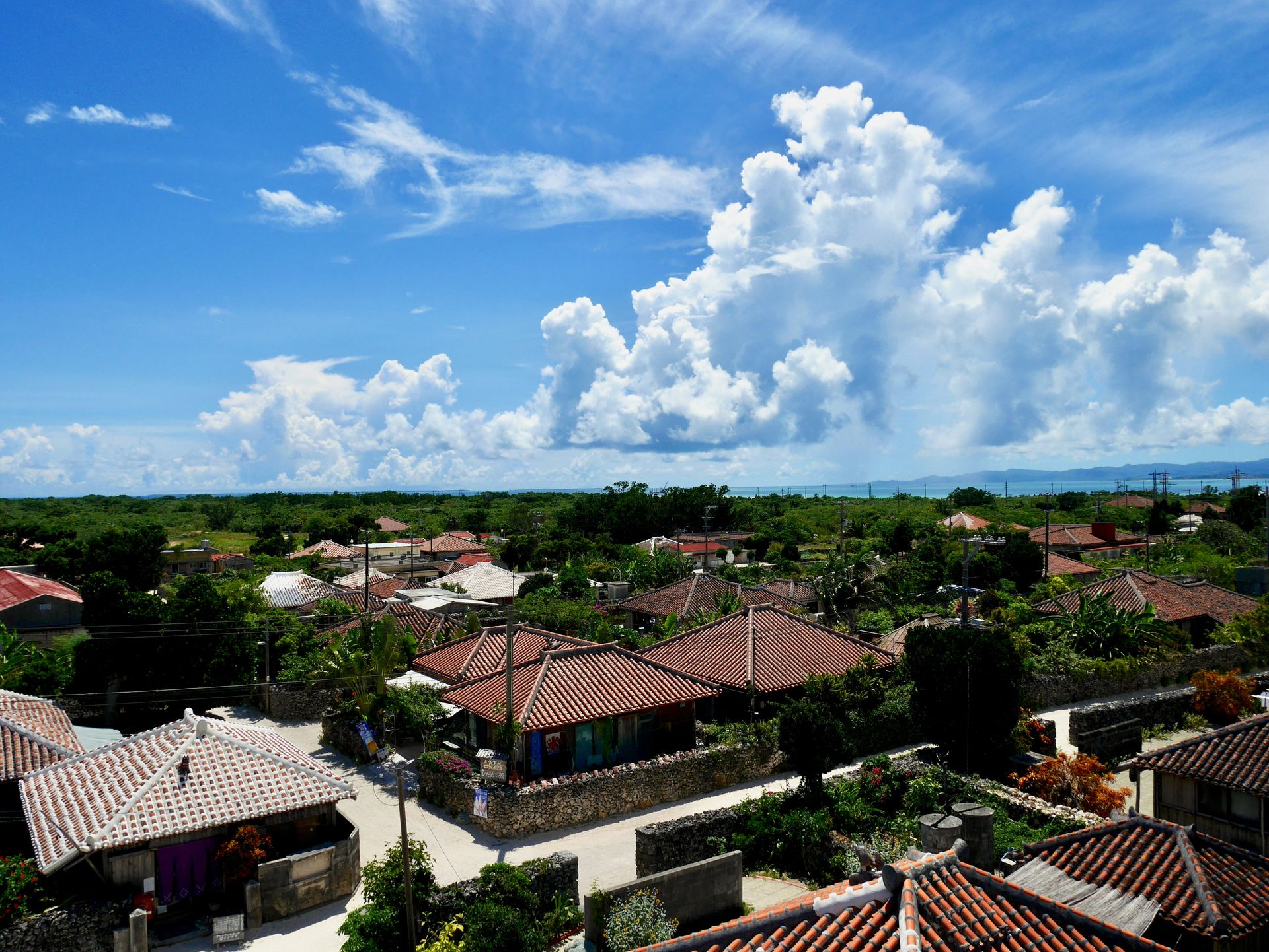
Taketomi Island is a tiny island within the Yaeyama archipelago accessible by a 10-minute ferry from the Ishigaki port, and its specific appeal rests on the preservation of a traditional Ryukyuan village that has maintained its architectural character, with red-tiled roofs, whitewashed coral walls, and flower-filled lanes, in a form that the more developed Okinawa islands have not sustained. The village, whose lanes are swept by residents who maintain a communal pride in the island’s appearance, offers the visitor a living cultural heritage, not a reconstructed museum version of Ryukyuan domestic architecture.
The sacred utaki scattered around the island, stone-enclosed shrines dedicated to the local gods of the Ryukyuan spiritual tradition, give Taketomi a religious and cultural dimension specific to the pre-Japanese Okinawan civilizations that the island has preserved alongside the village architecture. The utaki are treated as active sacred spaces, not historical sites, which gives them a living significance that the similar stone enclosures at more touristy destinations have lost through excessive visitation and the resulting cultural distancing.
The surrounding water gives Taketomi the visual qualities that make it a consistent presence on Japan’s most beautiful island lists: the turquoise-green shallows over the coral reef, the white sand beaches, and the clarity that the Yaeyama’s clean ocean environment maintains give the island a visual context whose natural quality the village’s cultural richness complements. The buffalo cart rides through the village lanes, a tourism activity that might seem superficial elsewhere, are conducted at the pace of a working animal moving through lanes designed for human foot traffic, which gives the ride a specific quality of deceleration appropriate to an island whose entire character is built around the rejection of modern speed. Taketomi’s beach, Kondoi Beach, offers the white-sand-and-turquoise-water combination at its most accessible from the village, a short cycle ride away, and the shallow, calm water of the protected cove provides a swimming environment suitable for all ages.
6 / 10
Romeo A. / Unsplash
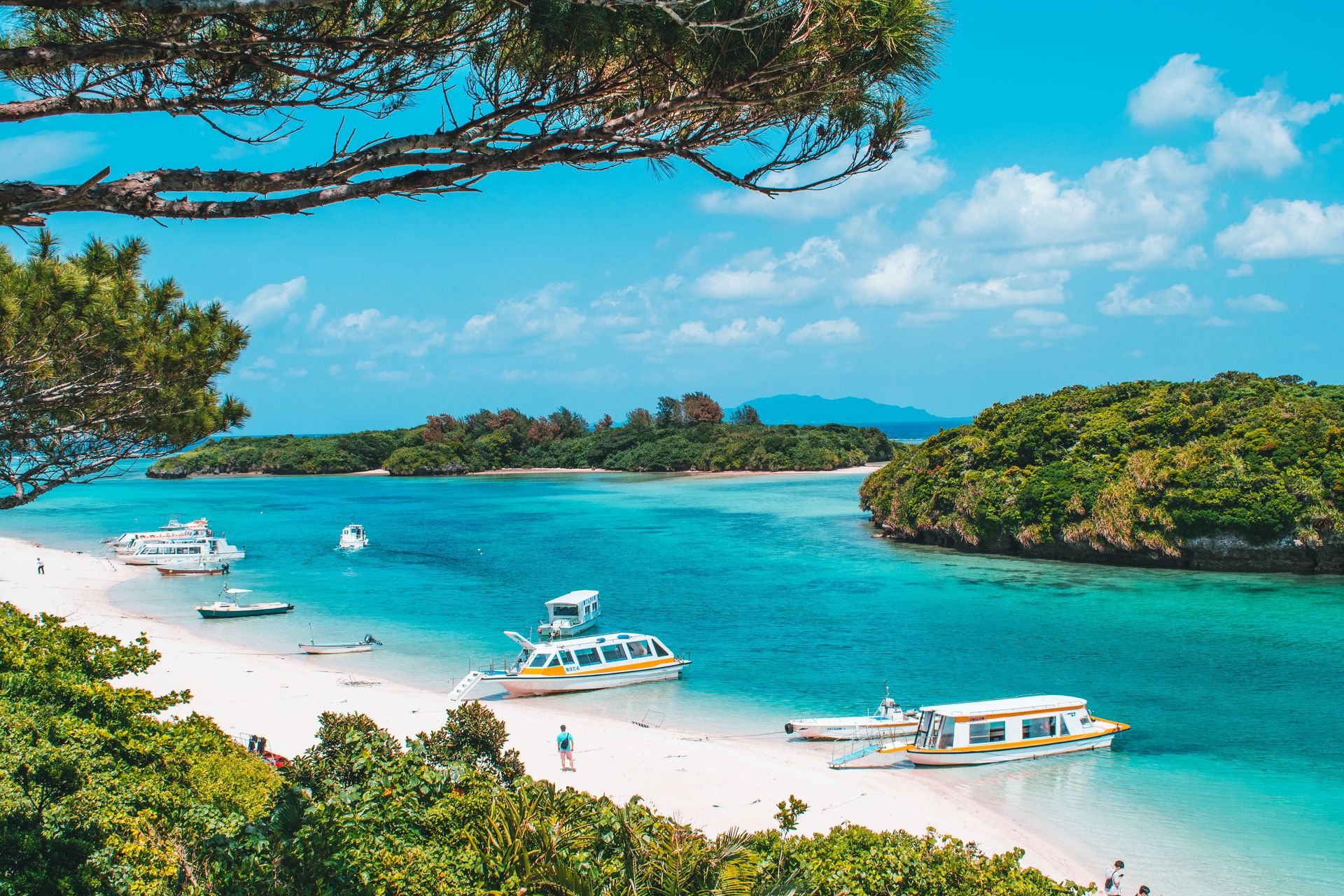
Ishigaki Island is the hub of the Yaeyama archipelago, with an airport and a port that connect the surrounding smaller islands to the wider world, and that give Ishigaki itself a commercial and social vitality that distinguishes it from its quieter neighbors. The island has a functioning urban center with restaurants, markets, and nightlife alongside the secluded coves, white-sand beaches, and coral reef environments that the surrounding water provides, which makes it the most practically complete base for Yaeyama exploration: the ferries to Taketomi, Iriomote, and Kohama islands all depart from the Ishigaki port, giving the visitor a day-trip range that covers the archipelago’s most compelling destinations from a single comfortable base.
The pineapple plantations that cover parts of Ishigaki’s interior give the island an agricultural identity specific to the subtropical climate zone: the sweetness and quality of the locally grown pineapples, available at roadside stands and market stalls throughout the island, give the food program a local product that the more northerly Japanese islands cannot grow in the same terms. The sugarcane fields that fill the spaces between pineapple cultivation give the interior a tropical agricultural landscape whose seasonal harvest activity, visible from the island’s road network, gives the driving visitor a productive working landscape alongside the coastal scenery.
The Shiraho reef on Ishigaki’s eastern coast, one of the largest and most biologically diverse coral reefs in Japan, is the diving and snorkeling program's most significant natural attraction. The reef has been the subject of conservation efforts whose success has maintained the coral cover at a level that development pressure has reduced at comparable sites across the Okinawa group, and the dive operators who work the Ishigaki reefs give visitors access to the reef’s most productive sections through guided programs whose environmental commitment reflects the reef’s conservation significance. The manta ray aggregations at Manta Way on Ishigaki’s western coast from June through November give the diving calendar its most wildlife-specific window, making Ishigaki one of Asia’s most consistent manta ray encounter destinations.
7 / 10
Siraj Shahjahan / Unsplash
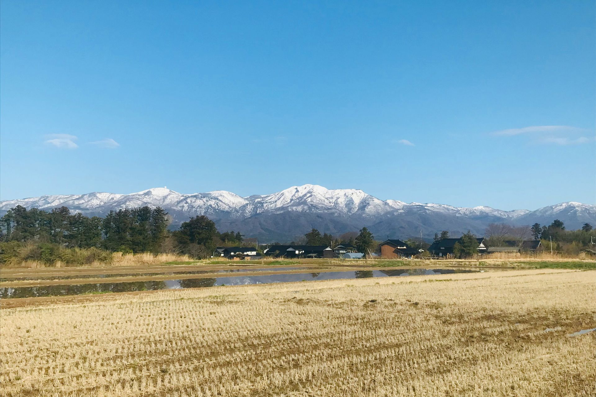
Sado Island sits in the Sea of Japan off the Niigata coast of Honshu and has a history more complex and culturally layered than any of the tropical islands in the south: the island served as a place of political exile during Japan’s imperial period, receiving scholars, poets, and eventually gold miners whose presence over centuries gave Sado a cultural depth that the southern islands’ natural focus does not approach in the same terms. The Sado gold mine, operated from 1601 until 1989, and, at its peak,, the largest gold mine in Japan, gives the island’s economic history a specific industrial archaeology, which the mine’s museum and accessible underground sections make available to visitors.
The coastal geology gives Sado its most visually dramatic natural feature: the rocky coves and cliffs that line the island’s coast, carved by the Sea of Japan’s winter storms into formations whose jagged, erosion-sculpted character gives the shoreline a visual violence specific to the exposed northern coast. The emerald water that fills the coves between the cliffs gives the contrast between rock and water a distinct quality, a quality that the calmer conditions of summer, when the winter’s waves subside, make accessible for kayaking and diving.
The cedar forests that cover Sado’s mountainous interior, ancient in parts and imbued with an atmosphere by the fog that the Sea of Japan weather systems deliver to the island, give the terrestrial landscape a haunting quality that the source specifically identifies as equally dramatic as the coastal scenery. The Toki, the Japanese crested ibis, was once extinct in Japan’s wild population but has been successfully reintroduced on Sado through a captive breeding program that has made the island the center of one of Japan’s most celebrated wildlife conservation success stories, and the birds are now visible in the island’s rice paddies during the agricultural seasons. The Sado Kinzan gold mine museum, whose underground tour guides visitors through the full 388-year history of the mine’s operations, offers the island’s economic and social history in a physical encounter whose depth the coastal scenery alone cannot deliver.
8 / 10
erika m / Unsplash
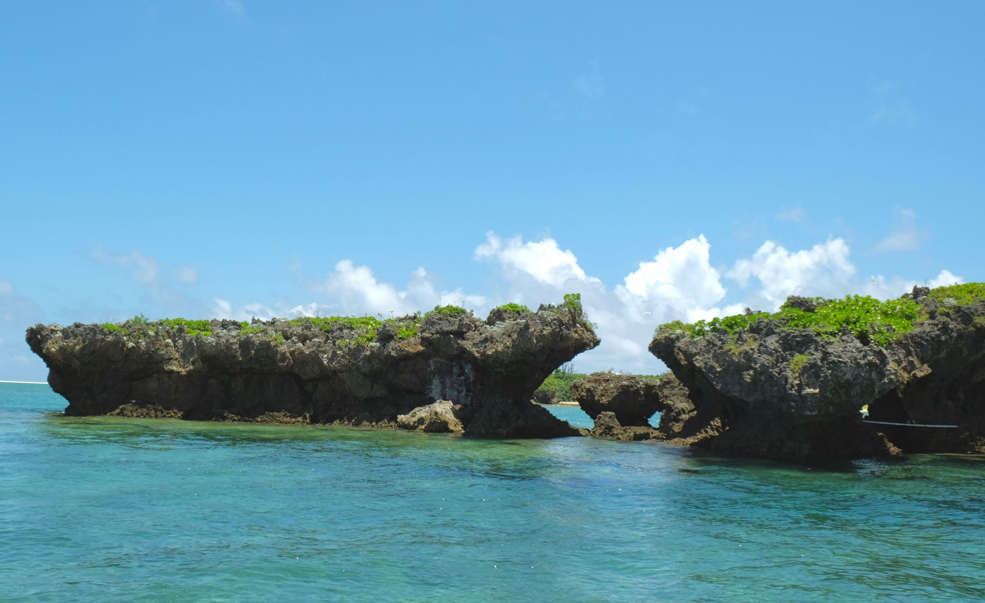
Kume Island is a small, quiet island within the Okinawa island group, whose natural features are more geologically specific than the coral reef and white-sand formula that define the Yaeyama and southern Okinawa islands. The rock formations produced by contracting lava, whose surface patterns give them the name tatami-ishi, cover a coastal reef platform and create a natural spectacle specific to the volcanic geology of this part of the Pacific island arc. The tatami-ishi sit at the waterline and are accessible on foot at low tide, giving the visitor a direct encounter with a geological formation whose pattern and scale make it unlike anything in the surrounding island group.
The craggy pools that dot the island’s volcanic coastline hold tropical fish in isolated tidal environments whose species composition reflects both the warm Okinawa current water temperature and the local availability of food and shelter specific to each pool’s geometry. The pools offer snorkelers a contained, calm-water alternative to the open-reef dives the surrounding sea provides, and the fish density in some of the more established pools gives visitors a close encounter with reef fish species that the open water disperses across a larger hunting range.
Hatenohama Beach, a 4.5-mile sandbar that extends east from the island’s coast into the surrounding sea, gives Kume its most specifically unusual natural feature: the sandbar is accessible only by boat, and its isolation from the island’s coast gives the beach experience a remoteness whose sky, sea, and sand horizon in every direction produces a spatial sensation unavailable at any beach attached to a larger landmass. The sandbar’s position within the Okinawa island group’s productive fishing waters means that the boat operators who run Hatenohama excursions frequently encounter sea turtles and flying fish on the crossing. Kume Island’s Eef Beach, facing the China Sea on the island’s southern coast, offers the classic beach experience: a long, gently curving stretch of white sand with calm, clear water, whose shallow gradient makes it one of the most family-friendly beaches in Okinawa.
9 / 10
Stefanie Akkerman / Unsplash
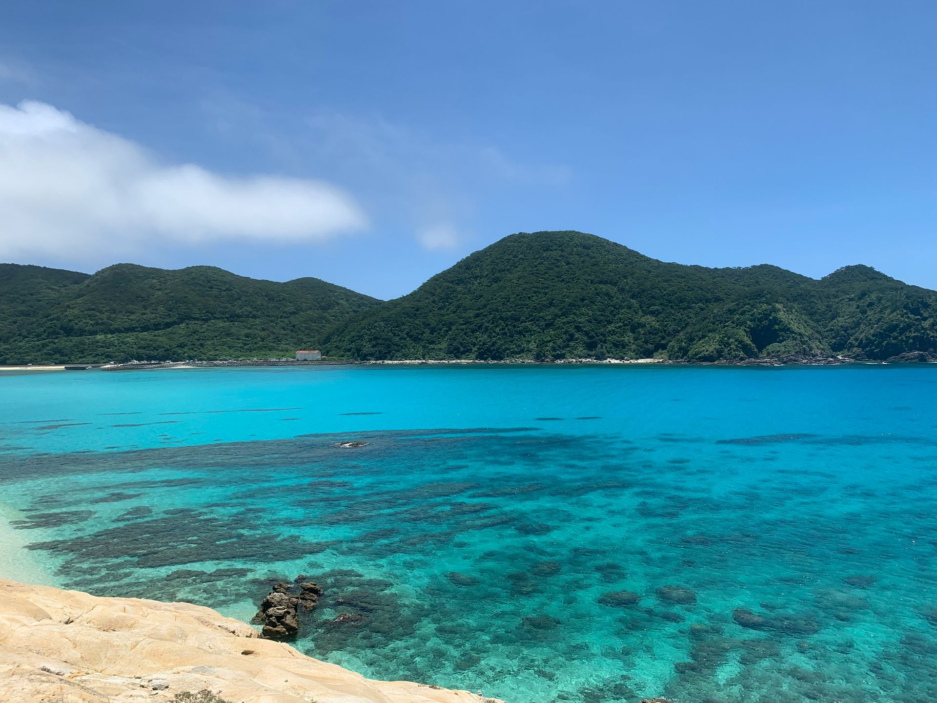
Tokashiki Island is the largest of the Kerama Islands, a group of small islands about 35 kilometers west of Naha, accessible by high-speed ferry in approximately 70 minutes from the Okinawa main island port. The Kerama Islands were designated a National Park in 2014, and the designation reflects the quality of the marine environment that the group’s coral reefs represent: approximately 250 different coral species cover the Kerama reefs, giving the underwater ecosystem a biological diversity that the more heavily visited Okinawa main island reefs cannot sustain at the same completeness after decades of pressure from coastal development and increased recreational use.
The Kerama blue, the specific color that the water surrounding the Kerama Islands produces through the interaction of the white sandy seafloor, the coral reef structure, and the particular clarity of the water in this offshore zone, is recognized in Japan as a distinct color category specific to this archipelago. The clarity that produces this color gives the snorkeler a visual experience from the surface that the coral reef environment typically requires a mask and fins to access: the fish, coral formations, and occasional sea turtles are visible from above the surface in the Kerama’s shallowest reef zones.
The hiking on Tokashiki’s rugged interior gives the island a terrestrial program that the pure beach destination model neglects: the trails through the lush vegetation of the island’s hills give views across the Kerama group’s island scatter that the beaches’ inward orientation cannot provide, and the elevation gives the wind-exposed hilltops a specific atmosphere whose contrast with the sheltered cove beaches below makes the same island feel like two different environments within the same walk. The island’s whale watching season in winter, when humpback whales breed in the Kerama’s protected waters, gives Tokashiki a second seasonal identity alongside the summer diving and snorkeling program. The Kerama Islands’ designation as a National Park includes marine protected area status for sections of the surrounding reef, giving the coral legal protection that helps maintain the ecosystem quality reflected in the 250 coral species count.
10 / 10
Shino Nakamura / Unsplash
Chichijima Island is the main inhabited island of the Ogasawara archipelago, a group of volcanic islands approximately 1,000 kilometers south of Tokyo in the open Pacific, accessible only by a 24-hour ferry journey from Tokyo’s Takeshiba pier. The distance and the single transport link give the Ogasawara Islands a remoteness that filters out casual day-trippers and concentrates the visitor population among those specifically motivated by the islands’ wildlife and natural history, and the 24-hour ferry crossing that this remoteness requires gives the arrival an earned quality specific to genuinely remote island travel.
The Ogasawara Islands were uninhabited until the 19th century and have never been connected to a continental landmass, which means the islands' flora and fauna evolved in isolation, producing numerous endemic species not found anywhere else on Earth. UNESCO recognized the Ogasawara Islands as a World Natural Heritage Site in 2011, citing the islands’ evolutionary significance as a living laboratory of island biogeography. The dolphins that inhabit the surrounding waters, including spinner, bottlenose, and spotted dolphins, approach boats and swimmers with little wariness, reflecting the absence of historical hunting pressure in these waters. The whale-watching season brings sperm whales and humpbacks into the waters around the island.
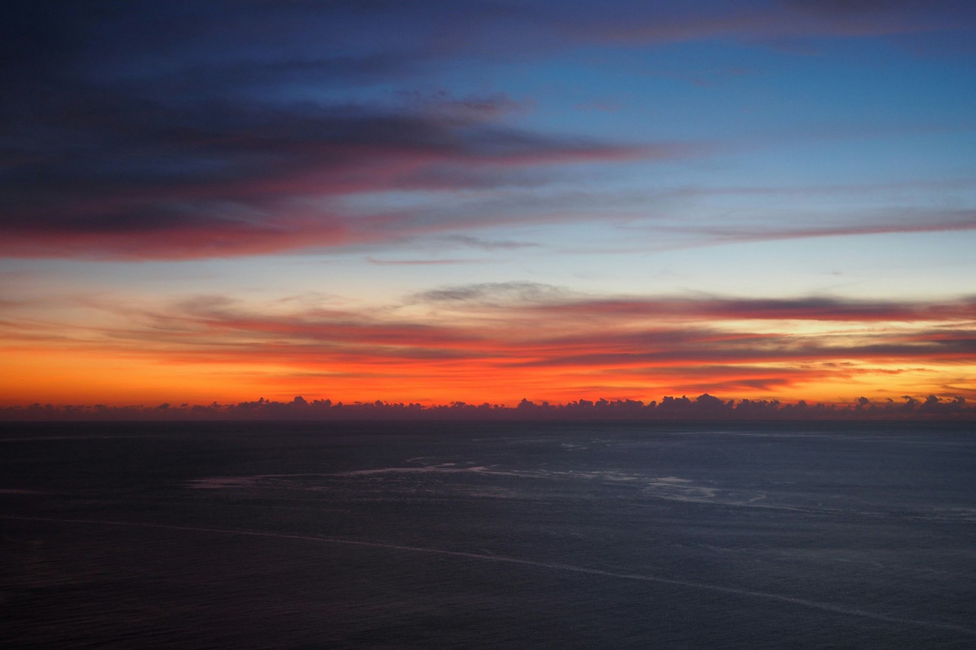
The star-filled night skies above Chichijima, where the distance from the light pollution of the Japanese mainland provides an astronomical environment darker than that of the country’s more populated islands, give the evening program a natural spectacle specific to the island’s remote Pacific position. The green turtles that breed on Chichijima’s beaches, nesting in numbers that the island’s protected status has sustained, offer the summer visitor a wildlife encounter whose scale and accessibility, within a short walk of the island’s small town, make Chichijima's natural attractions most memorable. The island’s only town, Oomura, provides the visitor with the accommodation and food infrastructure appropriate to its remote location: the guesthouses, restaurants serving fish caught that morning, and the dive shops that equip the underwater program are all within the town’s compact, walkable footprint.
