From Yosemite's El Capitan views at Upper Pines to Big Bend's Rio Grande canyons 322 miles from the nearest city
Dave Hoefler / Unsplash
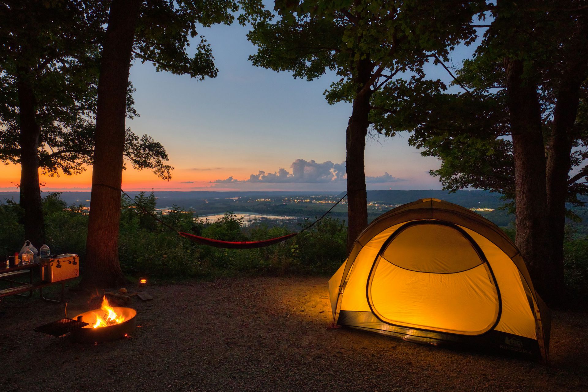
American public land is one of the country’s most extraordinary civic achievements: 640 million acres of national parks, national forests, national recreation areas, and state parks that belong to every citizen and that any person can access with a tent, a sleeping bag, and a reservation made at the right moment. The camping experience in that landscape ranges from developed campgrounds with running water, electricity, and shuttle service to the park visitor center, to first-come, first-served dispersed camping on a dirt track with no water, no facilities, and no other people for miles. The diversity of that spectrum is the point. The buyer who wants a plug-in site with restrooms and a ranger station a short walk away and the buyer who wants a backcountry permit and five days of silence, both find what they need in the American public land system.
The planning requirements vary considerably by destination. Some of the most sought-after campgrounds in the country, including Yosemite’s Upper Pines and the Dry Tortugas, require reservations that open months in advance and sell out within hours of becoming available. Others, including Badlands’ Sage Creek and some Glacier National Park sites, operate on a first-come, first-served basis that rewards the traveler willing to arrive early and accept uncertainty. Both systems have their specific pleasures, and the traveler who understands the reservation landscape before planning a trip avoids the most common and most avoidable disappointment in American camping.
The 10 destinations below appear in Travel + Leisure, drawn from a longer list covering camping destinations across every region of the United States. Crater Lake National Park, which appears on the original list, has been excluded here because the Crater Lake itself and the Cleetwood Cove Trail are closed to visitors through 2029 for construction.
Jeffrey Keenan / Unsplash
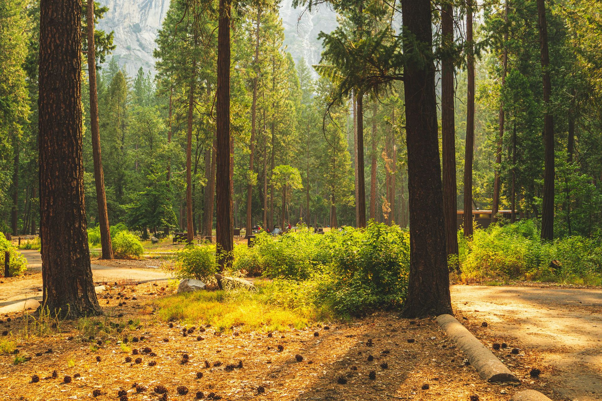
Yosemite National Park is the destination that appears first on most lists of American camping, and the reputation is earned: the 759,620-acre park, 95 percent of which is designated wilderness, contains 13 campgrounds for tents and RVs and a backcountry system that rewards the planning required to access it. The Upper Pines campground in Yosemite Valley offers the car camper the park’s most iconic single view: El Capitan and Half Dome are both visible from the campground, providing the tent site with a granite backdrop that no campground in North America replicates at the same scale. Upper Pines also sits on the free Valley shuttle route, giving campers access to the Valley’s services and trailheads without driving.
The planning requirement is real and must be taken seriously: campsite reservations open five months in advance and can sell out within minutes of becoming available. The demand reflects the park’s position as the most visited national park in the western United States, and the opening moments of the reservation window attract a volume of traffic that requires a specific strategy. The alternative is a backcountry wilderness permit, which requires a separate application but opens access to the park’s vast roadless interior, whose solitude and scenery offer a wilderness experience fundamentally different from the Valley floor.
The park’s position three hours from both San Francisco and Sacramento gives it the most accessible wilderness camping proximity of any major national park in California, and the enormous diversity of its terrain, from the Valley floor’s meadows and waterfalls to the high country’s granite passes and truly spectacular alpine lakes, gives the multi-day camper an itinerary whose variety justifies a full week’s stay. The Tuolumne Meadows campground, accessible via the Tioga Road in summer, gives the high-country camper a base whose elevation, at 8,600 feet, and the surrounding landscape of domes and passes offer a Yosemite that is completely different and equally spectacular than the Valley’s famous vertical walls.
Riccardo Tuninato / Unsplash
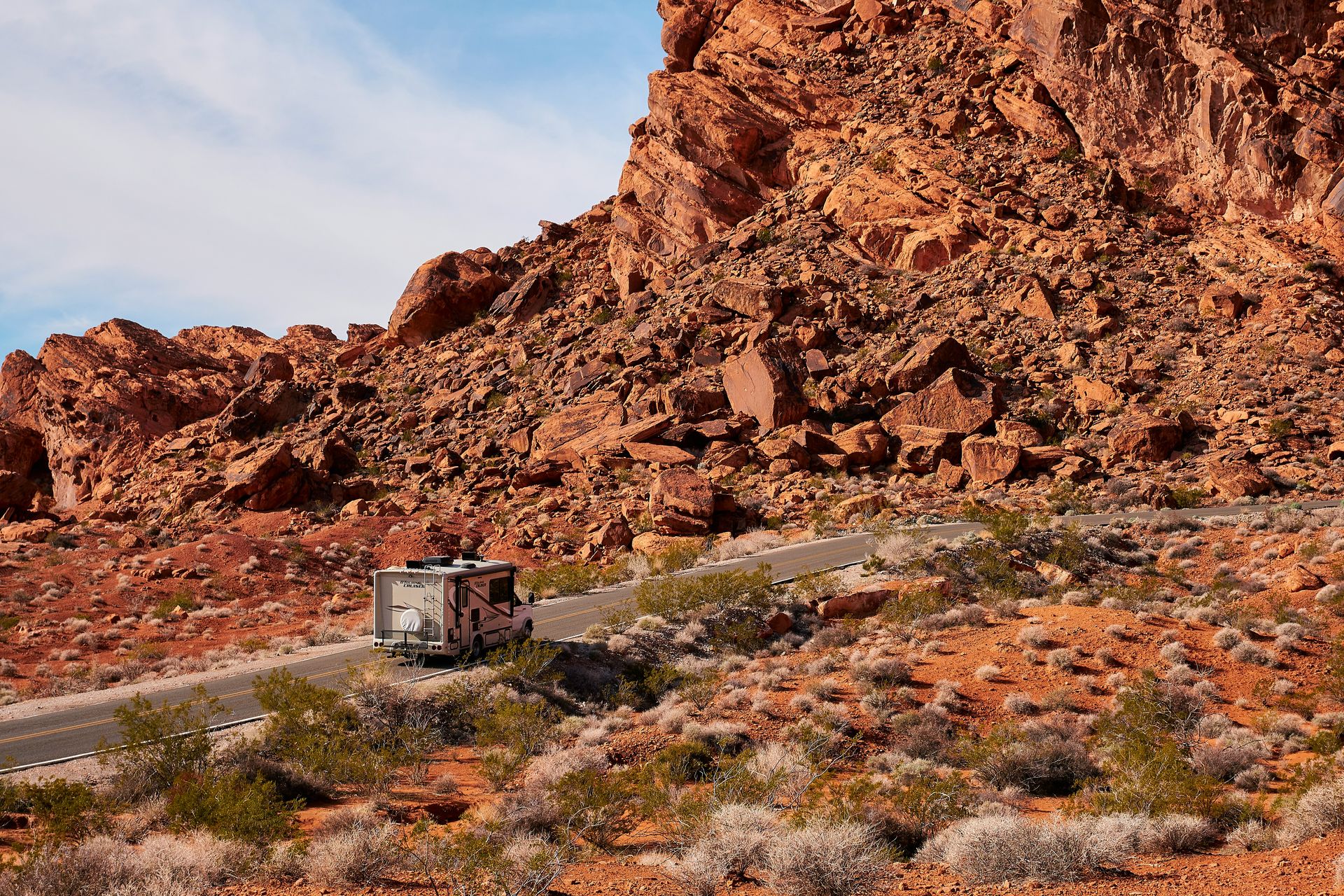
Valley of Fire State Park gives the Las Vegas visitor an unlikely contrast: 45 minutes north of the Strip, the red Aztec Sandstone formations, whose geological age exceeds 150 million years, give the camping landscape a visual drama whose scale and color are specific to the Mojave Desert environment and unrelated to the manufactured spectacle of the city nearby. The park’s petroglyphs, some dating back 3,000 years, give the cultural program its most ancient single credential, while the park's red rock formations, including Elephant Rock and the beehives, lend the hiking and photography program a surreal, wind-sculpted quality.
Two campgrounds serve the park: Arch Rock Campground with 29 sites and Atlatl Rock Campground with 44 sites. Both offer drinking water, shaded tables, and restrooms, which gives the park a basic amenity standard appropriate to the desert environment, whose heat makes shade and water the primary infrastructure priorities. The Atlatl Rock campground also offers hot showers, making it a more comfortable option for campers with limited tolerance for camping discomfort. Both campgrounds permit group camping, offering a social camping format for organized groups seeking the desert experience within a day trip of Nevada’s urban infrastructure.
The park’s relative obscurity compared to Utah’s more famous red rock destinations gives it a crowd profile well below Arches or Zion, and its 40,000 acres give the visitor who explores beyond the main road a desert experience whose quiet and space reflect the Nevada desert’s specific character. The park is open year-round, but the summer heat, which regularly exceeds 100 degrees Fahrenheit, makes the shoulder seasons of spring and fall the optimal camping windows. The park’s position as a day trip from Las Vegas gives it a specific recreational role: the camper who wants wilderness proximity to the city’s infrastructure can use Valley of Fire as a base, whose desert character provides a distinct Nevada sense of place that the Strip’s manufactured environment does not.
Sara Cottle / Unsplash
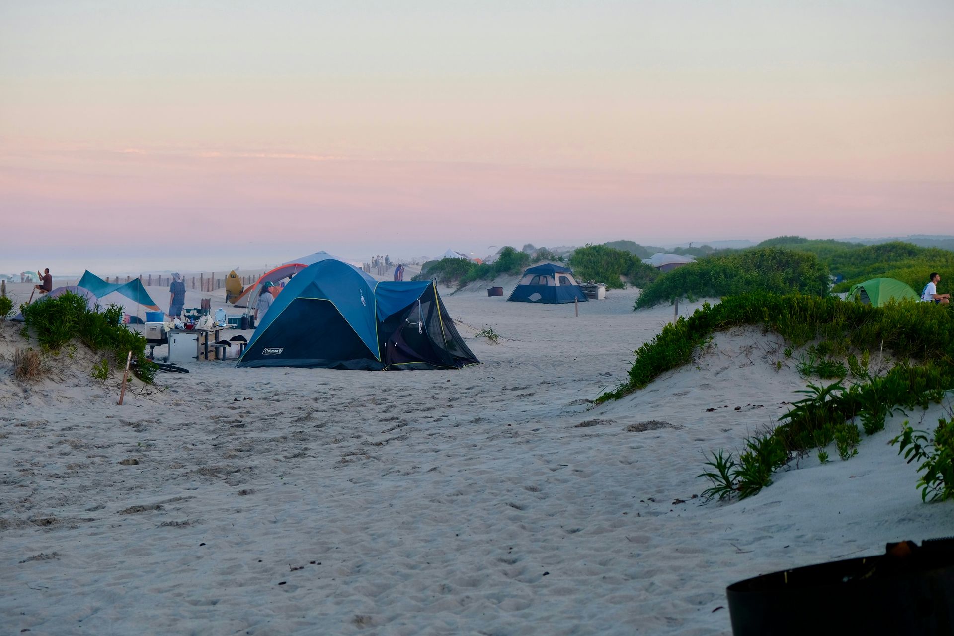
Assateague Island National Seashore is the beach camping destination that gives the East Coast camper something the developed resort beaches of the Atlantic coast cannot provide: oceanfront tent sites with direct sand access, and the free-roaming wild ponies of Assateague, whose presence at the campsite is one of the most specific and unexpected wildlife encounters available at any American campground. The ponies, descended from horses left to graze on the island centuries ago, move through the campground with the complete indifference of an animal that has never been required to fear the human presence, and the experience of waking to find a pony investigating the outside of the tent gives the Assateague camp morning its most memorable routine.
The 37-mile barrier island runs along the Maryland-Virginia border, but camping is available only on the Maryland side, where the National Park Service manages the oceanfront sites. Each site includes a picnic table and fire ring, and the primitive camping format, with no hookups and no permanent structures, gives the beach camping a directness appropriate to an island whose natural state is the primary attraction. Reservations are required during the high season from mid-March to mid-November, and they open six months in advance.
The island’s recreational program extends beyond the camping site: crabbing, kayaking, biking the island’s trails, and swimming from the same beach where the tent is pitched give the multi-day Assateague stay a varied activity calendar whose simplicity and quality reflect the specific pleasure of a place where the natural environment is the entertainment. The park is accessible year-round, and the off-season camping, from November through mid-March, offers the island at its quietest and most atmospheric, with fewer visitors and the possibility of seeing the ponies with no other humans in sight. The nearby Ocean City boardwalk, accessible by car in minutes from the park entrance, gives the Assateague camping trip an unusual hybrid option: wilderness beach camping with a developed seaside resort immediately adjacent.
Jeff King / Unsplash
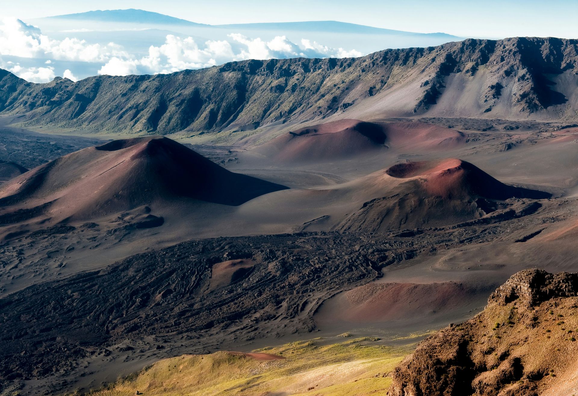
Haleakalā National Park occupies the upper slopes and summit of the Haleakalā volcano on Maui, whose 10,023-foot summit provides the park's most dramatic single feature and its most extreme camping environment. The designated campgrounds at Kīpahulu and Hosmer Grove give the tent camper access to the park’s distinctive ecological zones: Kīpahulu sits in the wet, coastal section of the park below the Pīpīwai Trail and its bamboo forest, and Hosmer Grove, at a higher elevation, gives the camper an environment of introduced conifers above the native shrubland. The park’s wilderness cabins, available by reservation, offer a more comfort-oriented visitor a historic backcountry structure whose wood stoves and bunks provide a specific luxury for the high-altitude overnight.
The Hōlua and Palikū wilderness camping areas inside the volcano’s crater give the most committed camper the most specifically extraordinary sleeping environment available at any campground in the United States: camping inside an active volcanic landscape at over 6,000 feet, surrounded by cinder cones and lava formations, under skies whose altitude and distance from the island’s coastal light pollution give the night sky a clarity specific to a Maui elevation that no coastal camping position approaches. Reservations are required for all camping in the park for stays of up to three nights per 30-day period throughout the year.
The drive to the Haleakalā summit along the Haleakalā Highway from the coast offers a dramatic approach, with an altitude gain of over 10,000 feet in 38 miles, and the early morning predawn arrival at the summit for the sunrise adds a specific physiological and visual drama. The summit sunrise, for which the park is famous well beyond the camping context, gives the camper staying at the park’s high-elevation sites the most convenient and natural possible access to what many visitors consistently describe as one of the most extraordinary and deeply moving natural light experiences available to a visitor anywhere across the entire Pacific Basin region.
Praswin Prakashan / Unsplash
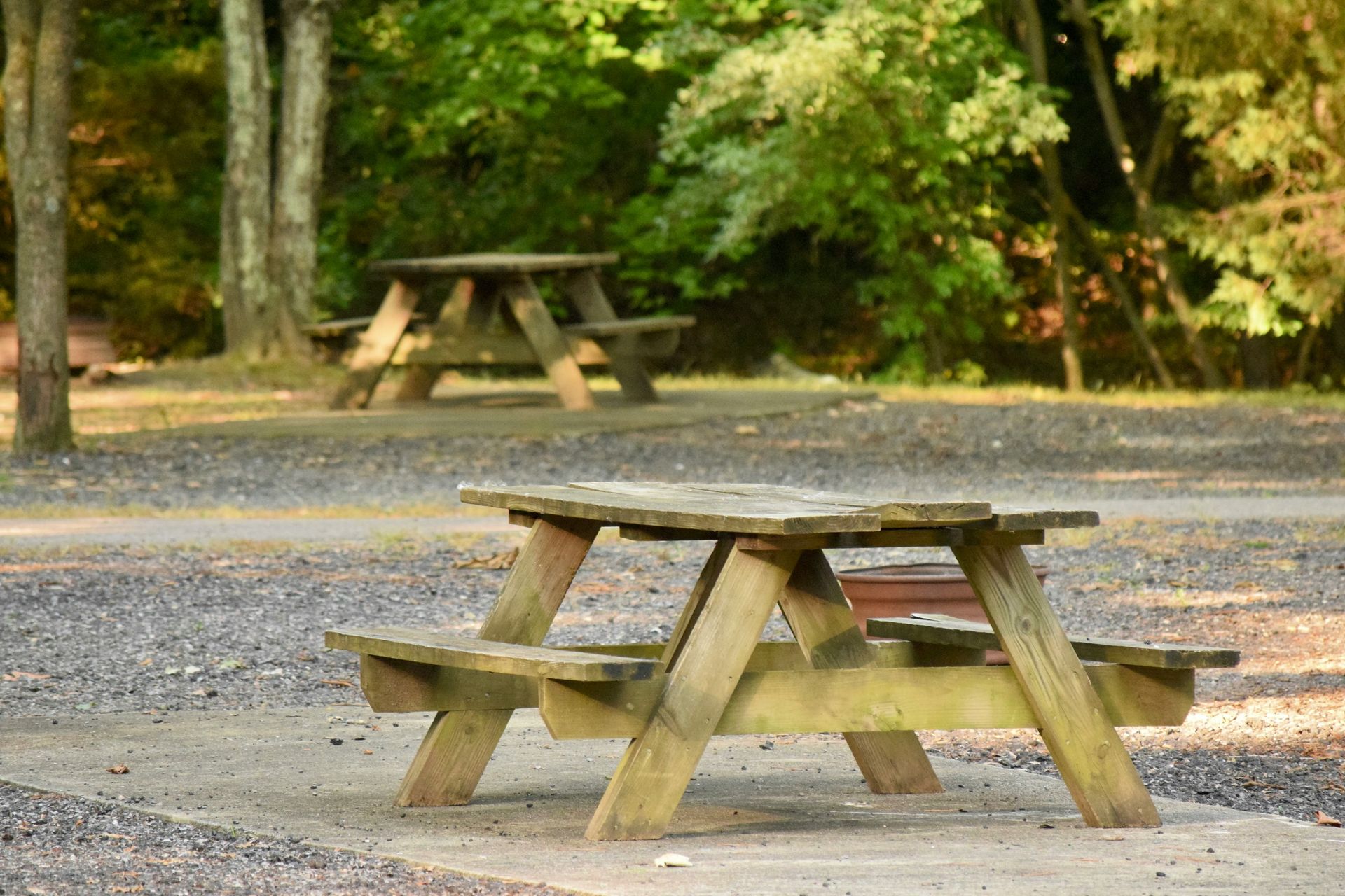
Shenandoah National Park is the national park whose proximity to the Washington D.C. metropolitan area, roughly 90 minutes of driving, gives it the highest urban-adjacency-to-wilderness ratio of any major national park east of the Mississippi. The 200,000-acre park’s Skyline Drive gives car campers and drivers a 105-mile spine road whose overlooks provide the Blue Ridge Mountain views without a trail hike, and the park’s more than 500 miles of hiking trails give the serious hiker a backcountry program whose density gives a multi-week itinerary more options than can be completed in a single visit.
The five campgrounds, all open from early spring to late fall, offer a full range of developed camping sites distributed along the park’s length. Most sites can be reserved up to six months in advance, but a portion operate on a first-come, first-served basis, giving the spontaneous camper an entry point that fully reservable parks do not. The Old Rag Mountain circuit, at 9.4 miles with significant boulder scrambling near the summit, gives the serious hiker the park’s most celebrated single challenge. Day-use tickets for the trail should be booked in advance due to its consistent popularity.
The park’s accessible location relative to major East Coast population centers, including Washington, D.C., Baltimore, and Richmond, gives Shenandoah a distinct value as a wilderness experience that does not require a cross-country flight to reach. The waterfalls, including Dark Hollow Falls and Lewis Falls, give the moderate hiker specific destinations whose payoffs are proportionate to the modest effort the trails require, and the park’s deer, black bear, and bird populations give the wildlife-watching program a density that the more heavily visited western parks, where human pressure has altered wildlife behavior over decades, cannot consistently provide. The Appalachian Trail traverses the park’s full length along the ridge, providing a dedicated long-distance footpath for through-hikers and section hikers, with overnight shelters and designated camping areas that offer an alternative to the developed campground system.
Colombe redon / Unsplash
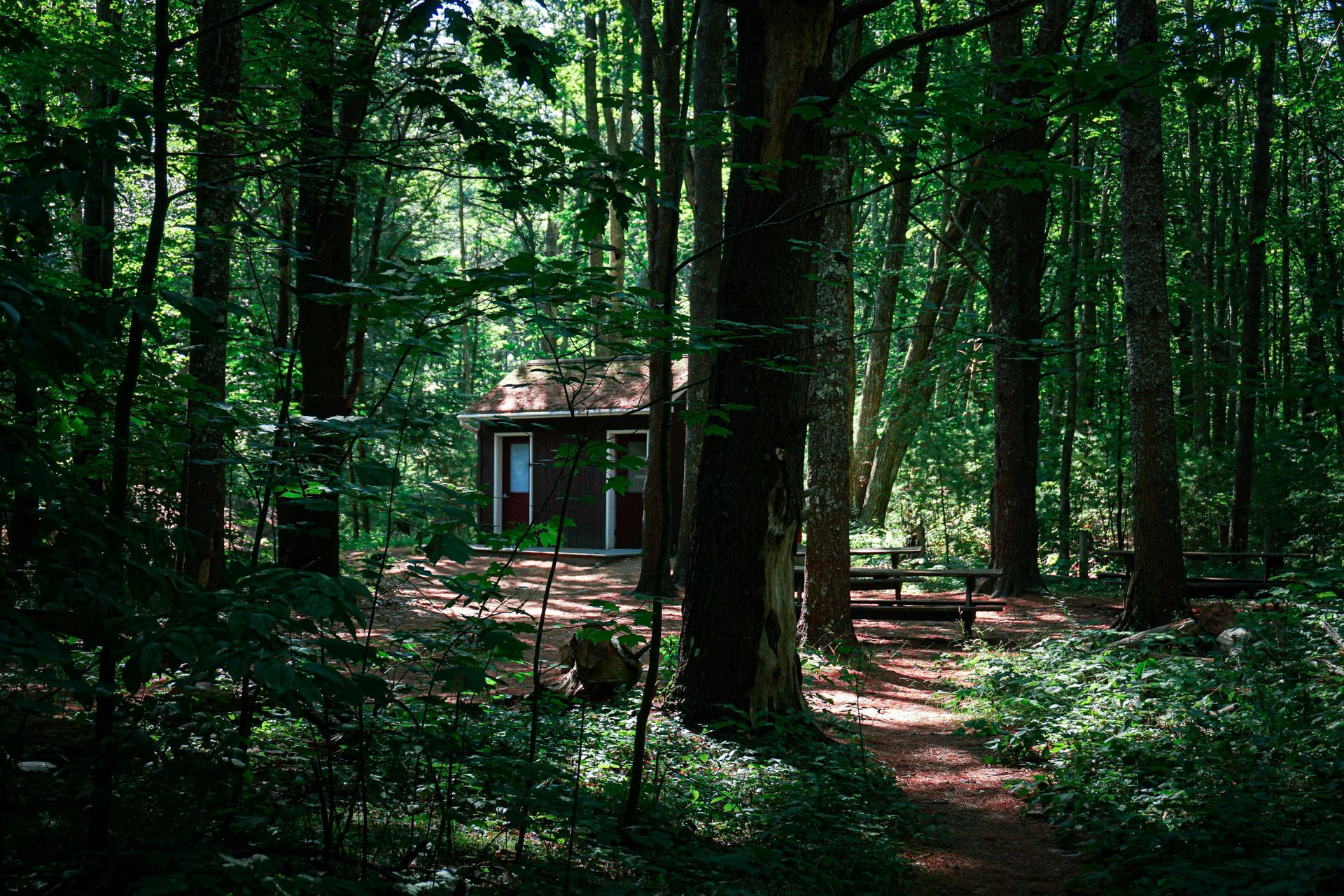
Acadia National Park is the easternmost national park in the contiguous United States and gives the New England coastal landscape its most concentrated public land preservation: the park encompasses parts of Mount Desert Island, the Schoodic Peninsula, and the island of Isle au Haut, whose collective 49,000 acres of granite peaks, forest, and ocean shoreline give the visitor a landscape whose variety across a small geography rewards the multi-day exploration that the park’s five campgrounds support.
The campground options offer visitors genuine choices across different character types and access levels. Blackwoods gives the most convenient access to Bar Harbor and the park’s central facilities. Seawall, on the quieter western side of Mount Desert Island, offers a less crowded atmosphere. Schoodic Woods on the Schoodic Peninsula gives the visitor who crosses the water the most remote of the park’s car-accessible campgrounds. Duck Harbor on Isle au Haut, reachable only by mailboat from the town of Stonington, offers a backcountry-adjacent camping experience that delivers a genuine island experience, with access limited to keep the crowd level minimal. Wildwood Stables serves the specific constituency of visitors who arrive on horseback. All campgrounds close in winter and reopen in May, and reservations open six months in advance.
The park’s 24 lakes and ponds, 158 miles of hiking trails, and 45 miles of carriage roads offer a recreational program whose density of options within the park’s relatively compact geography gives the multi-day visitor more to do than can be accomplished in a single visit. The summit of Cadillac Mountain, accessible by road and trail, is among the first places in the eastern United States to receive the sunrise from mid-October through early March, giving the early riser in the Blackwoods campground a morning drive whose destination gives the camping trip its most specifically timed natural event and one of the most consistently celebrated and most emotionally resonant single moments available at any campground in the northeastern United States.
Fredlyfish4 / Wikimedia Commons (CC BY-SA 4.0)
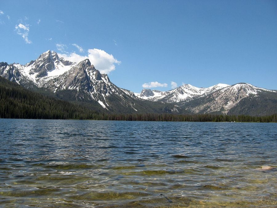
Sawtooth National Recreation Area is the Idaho public land that gives the Rocky Mountain camping experience its most visually spectacular single setting: the jagged granite peaks of the Sawtooth Mountains rising above a series of alpine lakes give the camping landscape a visual character that photographers consistently describe as comparable to a landscape painting in its improbable beauty. The 756,000-acre recreation area offers hikers, canoeists, and cyclists a public land with trail density and lakeside camping options that create an itinerary whose depth rewards the week-long stay more than the weekend visit.
The camping options span the full spectrum: developed campgrounds can be reserved in advance, undeveloped sites in the forest are available first-come, first-served and free of charge, and dispersed camping in designated areas provides fire rings and tables with minimal infrastructure. The camping season runs from late May through mid-September, with the snow-free window in the high alpine terrain defining the outer boundaries. The Redfish Lake campground, one of the recreation area’s most celebrated, offers tent sites with a lakeside setting below the Sawtooth Mountains, whose reflections in the clear lake give the morning view its most distinctly Sawtooth quality.
The recreation area’s position between Stanley and Ketchum gives the camping trip access to two small towns whose services, gear shops, and restaurants provide the multi-day wilderness stay with its most practical resupply and social opportunities. The Salmon River, which runs through the Stanley Basin directly adjacent to the recreation area, offers an additional river program, with Class III and Class IV rapids in the canyon sections, providing a specific intensity that the lake-and-trail camping experience complements across the full summer season. The Idaho wilderness that surrounds the Sawtooth recreation area, whose federally designated roadless character gives it the protection specific to the Wilderness designation, provides the dispersed camper the largest contiguous protected and genuinely roadless and permanently protected wilderness territory in the lower 48 states outside of the broader Yellowstone Greater Ecosystem’s established federal boundaries.
David Morris / Unsplash
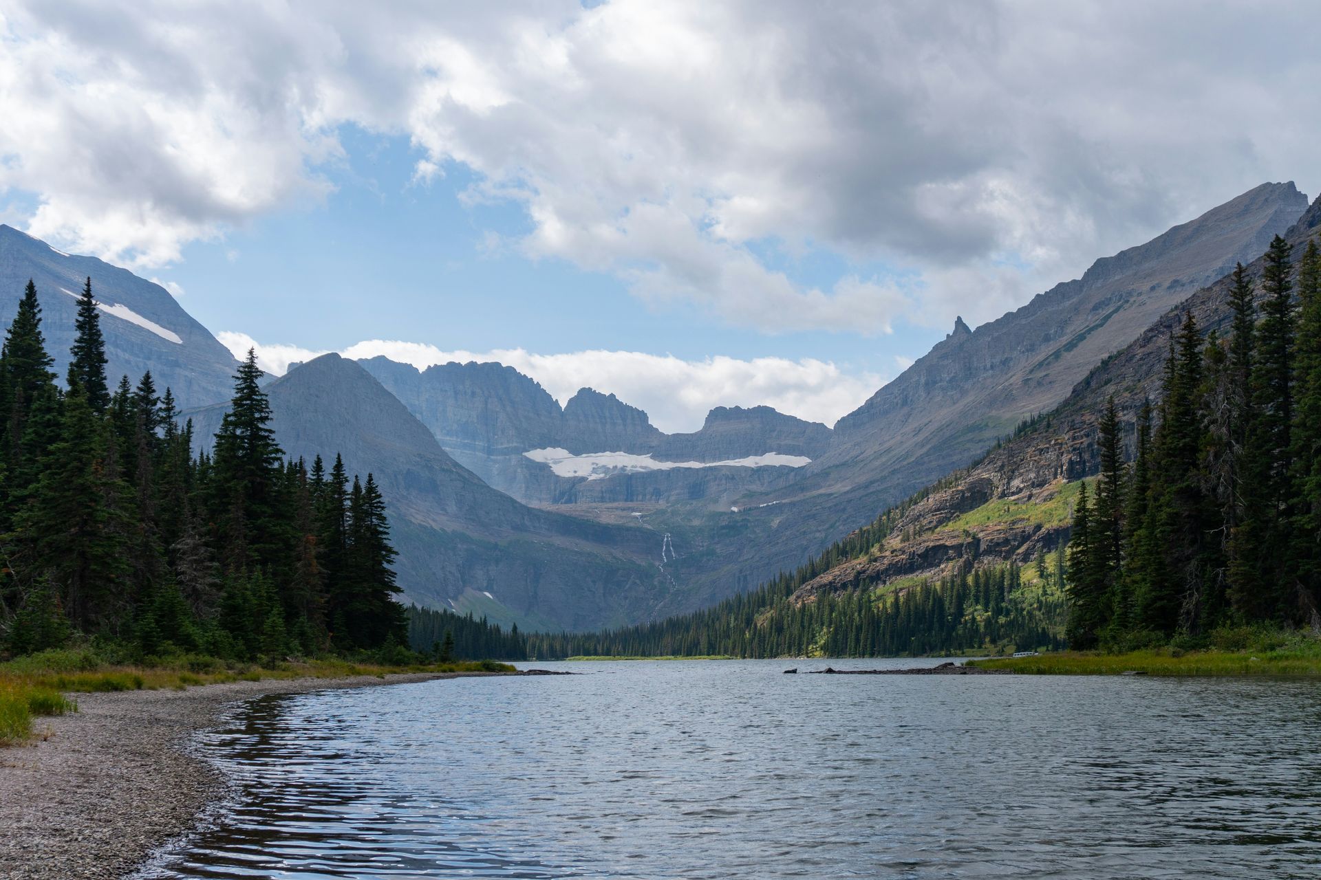
Glacier National Park is the Montana wilderness that the phrase “Crown of the Continent” describes with unusual accuracy: the park’s 1,013,572 acres of glaciated mountain terrain, bordering Canada’s Waterton Lakes National Park in a shared international peace park, give the camping landscape a scale and a visual grandeur specific to a mountain system whose ice-carved geology gives the hiking terrain a sculptural drama that the younger volcanic peaks of the Cascades and the more rounded Appalachians do not produce in the same terms. The 13 developed campgrounds, with over 1,000 combined sites, offer visitors a broad selection that spans the park’s eastern and western sides, each with a distinct character reflecting the different ecological zones of the Continental Divide.
Half of Glacier’s campgrounds operate on a first-come, first-served basis, accessible via bumpy dirt roads whose filtering effect keeps the crowd level at these sites meaningfully below the reservable campgrounds’ population. The remaining campgrounds require advance reservations and offer the accessibility, amenities, and proximity to the park’s main visitor services that the spontaneous first-come visitor cannot plan around. The main camping season runs from spring through fall, with limited wintertime wilderness camping available at select sites.
The Going-to-the-Sun Road, the 50-mile mountain highway that crosses the Continental Divide at Logan Pass, offers the park's most famous drive and the most spectacular access to its campgrounds. The road’s seasonal opening, typically late June, gives the summer camper the specific pleasure of driving through snowfields still present at the 6,646-foot pass in early summer, and the wildlife viewing along the road, where mountain goats, bighorn sheep, bears, and moose are regularly sighted from the vehicle, gives the transit itself the quality of a wildlife tour. The Many Glacier Valley on the park’s east side, whose campground sits below the Grinnell Glacier and the surrounding amphitheater of peaks, gives the east-side camper the most visually concentrated glacier landscape accessible by road in the entire park.
Toan Chu / Unsplash
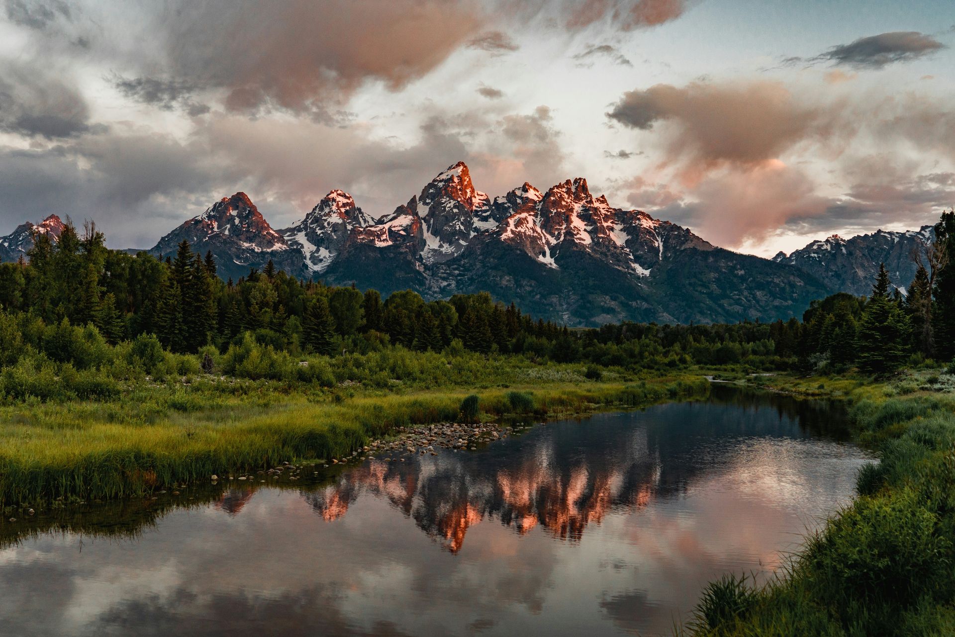
Grand Teton National Park sits immediately north of Jackson Hole and gives the Wyoming camping landscape its most dramatically vertical foreground: the Teton Range’s unobstructed rise from the Jackson Hole valley floor, without the foothills that most mountain ranges use to build to their full height, gives the campground views of one of the most direct human-to-mountain visual relationships available at any American campground. The park’s position adjacent to the National Elk Refuge, where hundreds of elk congregate from mid-winter through spring, gives the winter wildlife program a specific proximity that the summer camping season cannot replicate in the same numbers.
The Signal Mountain Campground gives the tent camper the most celebrated single view in the park: Mount Moran and the Northern Tetons visible directly from the campsite, with the Snake River and Jackson Lake in the middle distance, and the campground’s proximity to restaurants, showers, and laundry services gives the developed camping amenity its most complete package in the park. The more than 1,000 campsites across the park offer visitors sufficient selection to find a site that matches the trip’s ambitions, and online reservations open 6 months in advance for the most popular campgrounds.
The Colter Bay Tent Village gives the camping trip an unusual alternative between conventional tent camping and cabin accommodation: tent cabins with wood-burning stoves and walls of logs and weatherproof canvas give the campground a structure whose protection from the Wyoming weather exceeds the conventional tent’s, and the shared campground infrastructure of Colter Bay’s full amenity complex gives the glamping-adjacent visitor the wilderness setting with a comfort floor higher than unassisted tent camping provides. The park’s wildlife program, including roaming bison, mule deer, moose, and black bears, gives every site in every campground the potential for wildlife encounters that the Tetons’ ecological health sustains. The Snake River float trip, operated by multiple licensed outfitters from the park’s launch sites, adds a water-based program to the camping trip, offering views of the Teton Range from the river level that give the same peaks a completely different perspective from the campground’s ground-level view.
Caleb Fisher / Unsplash
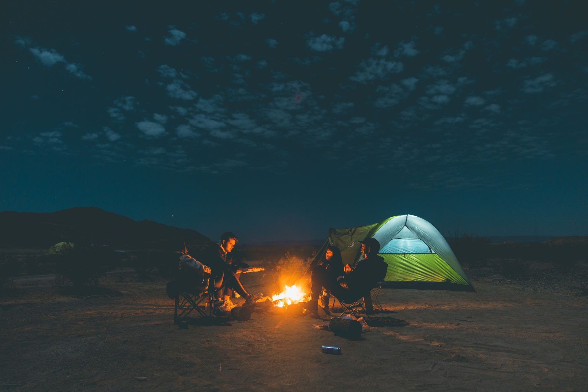
Big Bend National Park occupies the great bend of the Rio Grande in far west Texas and gives the American camping landscape its most genuinely remote major national park experience south of Alaska: the nearest large city, El Paso, is 322 miles away, and the park’s 801,163 acres of Chihuahuan Desert, mountain terrain, and river canyon give the camping landscape a physical and cultural isolation that the eastern and western parks, however wild, cannot match in the same degree of practical distance from the urban grid. The park’s four developed campgrounds, Chisos Basin, Rio Grande Village, Cottonwood, and Rio Grande Village RV Park, give the car camper a range of settings whose specific character reflects the diversity of the park’s terrain.
Chisos Basin, the campground inside the mountain range at the park’s center, offers a sky-island setting at 5,400 feet, with pine-oak woodland and mountain views that create a completely different environment from the desert floor’s campgrounds. The Rio Grande Village campground sits at the river’s edge, giving the tent the proximity to the Rio Grande’s cottonwood gallery forest and the Mexican mountains of the Sierra del Carmen across the water. The backcountry permit system, available for the park’s extensive primitive camping program, gives the wilderness camper access to the full scope of the park’s terrain. All campgrounds require reservations.
The river program gives Big Bend its most activity-specific single attraction: the Santa Elena Canyon, whose 1,500-foot limestone walls rise directly above the Rio Grande’s surface, giving the rafting and canoeing visitor a canyon environment whose enclosed scale gives the water experience a specific drama unmatched at any other accessible Texas river. The park’s designation as an International Dark Sky Park gives the camping trip its most celebrated nocturnal program, and the Milky Way visible from any of the park’s campgrounds on a clear moonless night gives the stargazing experience a darkness and clarity specific to the park’s 322-mile separation from the nearest urban light pollution.
