
The top 10 new national parks in the U.S., ranked
From New River Gorge's 1,500 climbing routes and Class V rapids to Death Valley's 134-degree record and the lowest point in the Western Hemisphere
Mo / Unsplash
New River Gorge became West Virginia’s first national park and the nation’s 63rd on December 27, 2020, adding one more genuinely good reason to explore the great outdoors across the United States. Most travelers already know the country’s more famous parks, including the Great Smoky Mountains, Grand Canyon, Yellowstone, and Yosemite, though far fewer know much about the 10 newer parks designated since 1994, which are covered in detail here.
These newer additions to the National Park System span everything from glistening desert dunes to swampy southern floodplains to a canyon plunging thousands of feet below its own rim. Several sat protected for decades as national monuments before eventually earning full park status, reflecting a slow, deliberate process that often takes far longer than most visitors realize when they assume park designation happens quickly.
The 10 parks below appear in Lonely Planet and cover the newest national parks designated across the United States since 1994. Each one offers a genuinely different landscape and history, from coal country to gypsum dunes to a canyon carved by a single relentless river. Checking each park’s current road and seasonal conditions before a trip helps travelers plan around whichever specific park they choose to visit. Some of these destinations, such as White Sands and Death Valley, reward visitors most during the cooler shoulder seasons, while others, including Congaree and New River Gorge, offer their own distinct appeal across nearly every month of the year. Reading through each park’s specific highlights before booking a trip remains the best way to match the right destination to a traveler’s available dates and personal interests. A single road trip could realistically link several of these parks, depending on the region, giving travelers genuine flexibility to build a considerably longer itinerary around them at once.
1. New River Gorge channels world-class white water
Credit: U.S. National Park Service
West Virginia often gets overlooked by travelers exploring the United States, which is genuinely unfortunate, given how ruggedly beautiful the state is. New River Gorge National Park and Preserve, colloquially known as the New, seems likely to change that reputation, drawing considerably more visitors toward the Mountain State with each passing year.
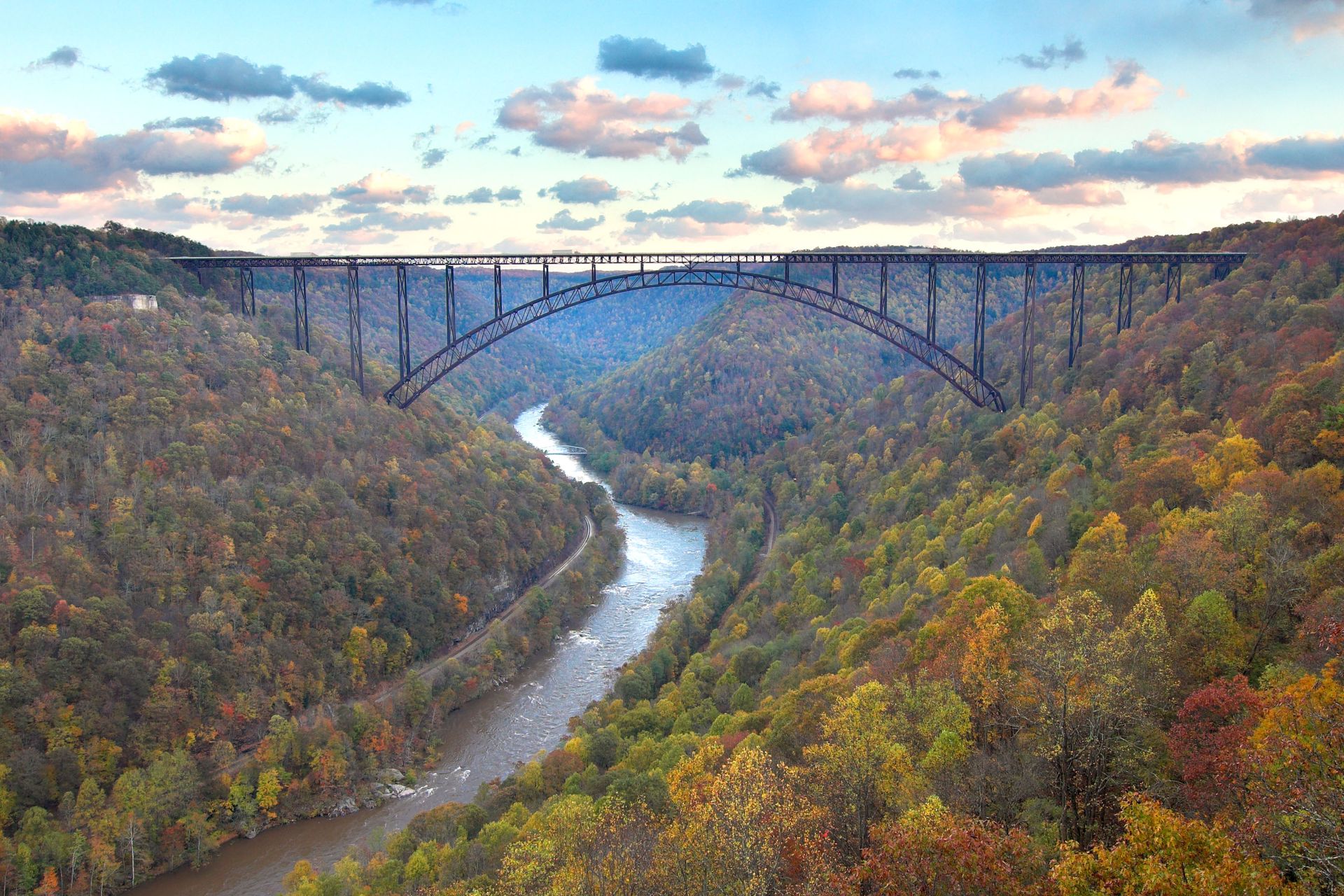
The New River Gorge holds 53 miles of white water rafting opportunities, including a genuinely action-packed 13-mile stretch of Class IV and V rapids that draws serious rafters from across the country. A network of mountain-bike trails stretching more than a dozen miles winds through the surrounding terrain, and rock climbers can scramble up sheer limestone cliffs across more than 1,500 established routes throughout the gorge.
Once a genuine hub of the coal mining industry, the New also functions as an outdoor museum documenting the people who lived and worked there throughout the 18th and 19th centuries, supplying the lumber and coal that fueled American industrial growth. Among those workers were Black coal miners and rail workers whose lives are recounted along a scenic drive winding through the park.
Visitors planning a rafting trip should book with a licensed outfitter well in advance during the peak summer season, since demand for guided trips down the gorge’s most famous rapids climbs considerably once warmer weather arrives each year. The park’s New River Gorge Bridge, once the world’s longest single-span steel arch bridge, offers a genuinely dramatic backdrop for visitors watching rafters far below from an overlook. Bridge Day, held each October, closes the span to traffic and lets BASE jumpers leap from the structure, drawing large crowds to watch from the gorge below. The park’s Sandstone Falls, a wide waterfall along the river’s lower section, offers a genuinely scenic stop for visitors not planning a full rafting trip. Fall foliage throughout the gorge peaks in mid-October, drawing photographers alongside the rafters and climbers already visiting then.
2. White Sands shifts gypsum dunes through changing light
Carrie Borden / Unsplash
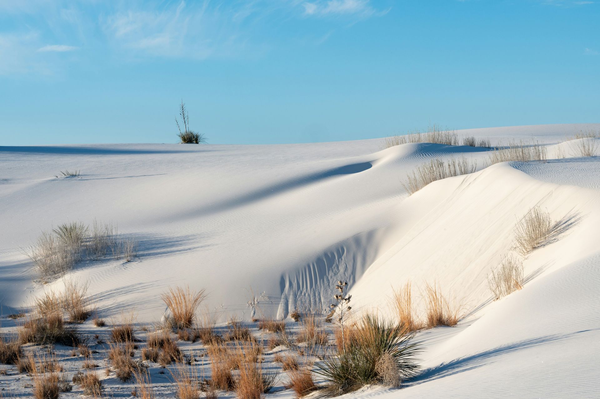
New Mexico’s White Sands has long ranked as a fixture on landscape photographers’ itineraries thanks to its genuinely otherworldly hues, especially at sunrise or sunset. The gypsum dunes shift from hot orange to bright white to cool lavender as day turns into night, creating a dramatically different visual experience depending on exactly when a visitor arrives.
Visitors can go backcountry camping directly among the glistening dunes or explore the area’s rich flora, including the genuinely strange soaptree yucca, within the Native Plant Garden near the visitor center. In the evening, rangers lead sunset strolls alongside moonlight and full-moon hikes, giving visitors structured ways to experience the dunes beyond simply wandering on their own.
The powdery white sand throughout the park proves genuinely perfect for sledding, and barreling down the side of a dune on a plastic snow saucer, available for purchase at the gift shop, ranks among the park’s single most popular activities. This particular activity gives White Sands a genuinely playful character rarely found at other desert parks focused purely on scenic hiking.
Visitors should plan their visit around sunrise or sunset for the most dramatic photographic conditions, and bringing plenty of water remains essential regardless of timing, since the reflective white sand intensifies heat considerably even on otherwise mild desert days. The park sits adjacent to an active military testing range, and visitors should check current road and access conditions before a trip, since portions occasionally close for scheduled testing. Visitors should download offline maps before entering the dune field, since the shifting white landscape can disorient hikers, and cell service throughout the park remains unreliable. Visitors should apply sunscreen generously even on cooler days, since the bright white sand reflects sunlight so intensely that it can cause sunburn from both below and above. Pets on leashes remain welcome throughout most of the park, though owners should bring extra water for their animals, given how quickly the sand’s heat can affect paws.
3. Indiana Dunes hides biodiversity next to steel mills
Steven Van Elk / Unsplash
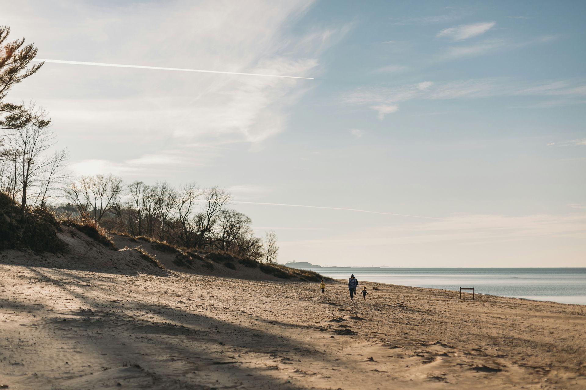
Indiana Dunes functions as a decidedly urban park, surrounded by industrialized neighbors including a power plant, a steel mill, and the entire city of Gary, Indiana, visible just beyond the park’s boundaries. Visitors can see Chicago across the lake, and while bear spray isn’t necessary here, the park holds genuinely incredible biodiversity that has attracted ecologists for more than a century.
The variety of flora and fauna throughout Indiana Dunes surprisingly rivals that of Hawaii, and thanks to its city-adjacent location combined with its elevated national park status, the site now draws roughly 2.6 million visitors each year. This surprising ecological richness alongside heavy industry gives Indiana Dunes a genuinely unusual character compared with more remote wilderness parks elsewhere in the country.
The West Beach Trails offer a genuinely perfect mix of lake swimming, birding, wildflowers, and views across both Lake Michigan and Long Lake, all packed within a single 3.4-mile hike well suited to a half-day visit. This trail alone captures much of what makes the Indiana Dunes worth visiting, even for travelers with limited time available.
Visitors specifically interested in birding should time a spring or fall visit to peak migration season, since the park’s position along Lake Michigan makes it a significant stopover for numerous migratory bird species passing through the region. The park’s Paul H. Douglas Center for Environmental Education offers hands-on exhibits well suited to families traveling with younger children curious about the surrounding ecosystem. The park’s Great Marsh Trail offers a quieter, less-visited alternative to the beach areas, winding through wetland habitat that supports a genuinely different set of species. The park’s dune succession trail illustrates how plant life gradually stabilizes shifting sand over time, offering a genuinely educational stop for curious visitors. Winter visits reward patient visitors with a genuinely different look at the dunes, when snow blankets the landscape and crowds thin considerably compared with summer. Layered clothing helps considerably for winter visits, given the lakefront wind.
4. Gateway Arch anchors St Louis with soaring architecture

Kenny Nguyen / Unsplash
First protected as the Jefferson National Expansion Memorial in 1935, though more commonly known simply as the St Louis Arch, given its location right in the middle of the city, Gateway Arch delivers a genuinely moving experience well beyond its striking silhouette. From the towering arch itself and the tram ride to its top, to the underground museum honoring the country’s genuinely complicated history of westward migration, the park offers considerably more depth than simple architecture or St Louis’s civic pride alone.
This particular addition to the National Parks System has drawn its share of controversy, since some critics question whether an urban monument built around a single structure truly fits the traditional definition of a national park. Regardless of that debate, the site’s pairing of engineering achievement and genuine historical reckoning gives it real substance beyond a simple photo opportunity.
Riverboat cruises along the Mississippi offer visitors an excellent way to see the Gateway Arch from entirely different perspectives, often while enjoying a meal or live music aboard. This river-based vantage point gives visitors a genuinely different sense of scale compared with viewing the arch purely from ground level within the park itself.
Visitors should book tram tickets to the top of the arch well in advance during peak tourist season, as same-day availability can be limited, particularly on weekends and during major St. Louis events downtown. The surrounding Gateway Arch National Park grounds also include a restored courthouse where the Dred Scott case was originally argued, adding a somber historical layer to the site. Visitors should book tram tickets and museum entry together when possible, since combined tickets often save time compared with purchasing each separately at the counter. The park’s underground museum uses interactive exhibits to explore perspectives often left out of traditional westward expansion narratives, including those of Native Americans and enslaved people. Free admission to the grounds makes a quick visit genuinely feasible, even for travelers passing through St. Louis with limited time to spare.
5. Pinnacles guards eroded spires near the San Andreas Fault
Credit: U.S. National Park Service
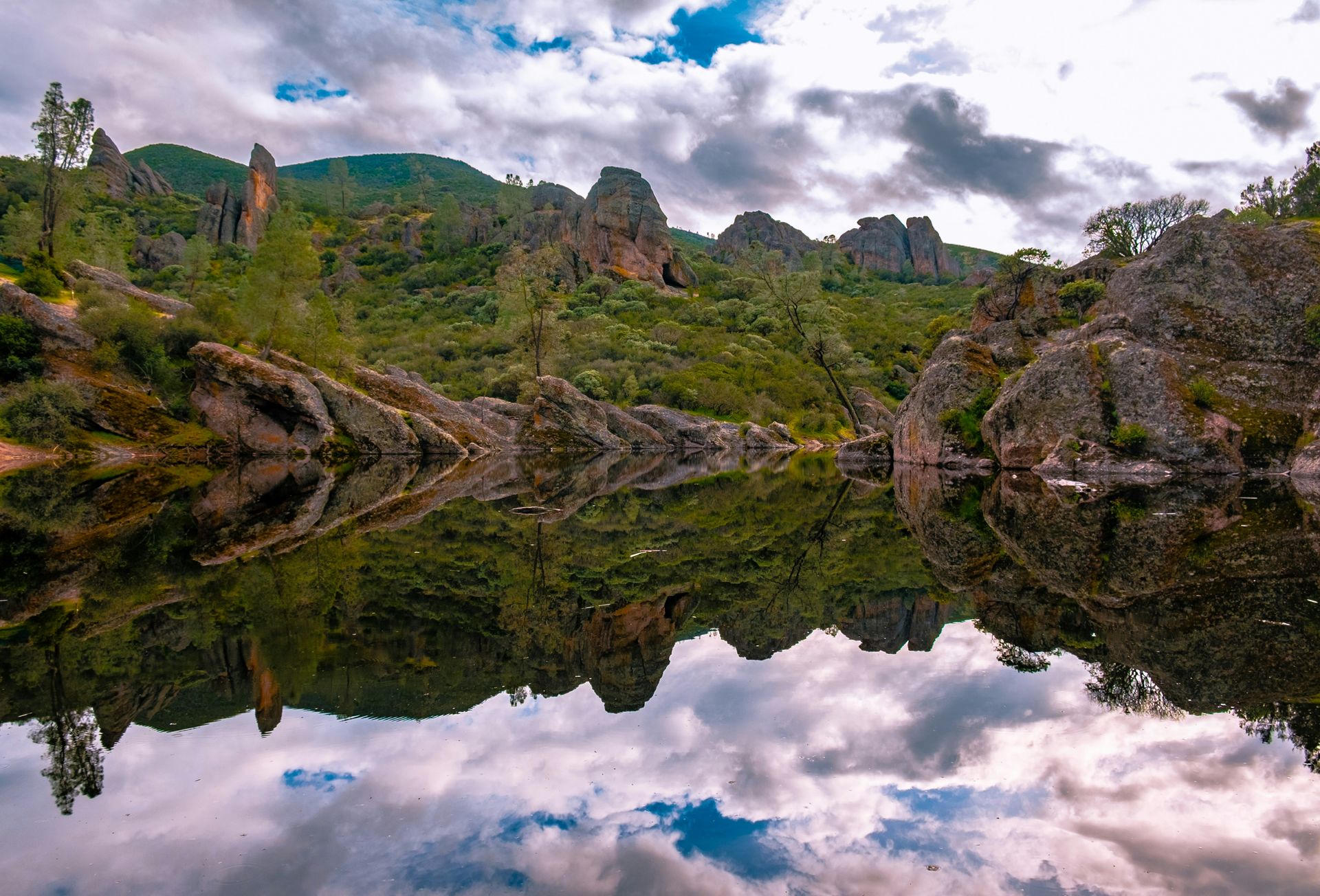
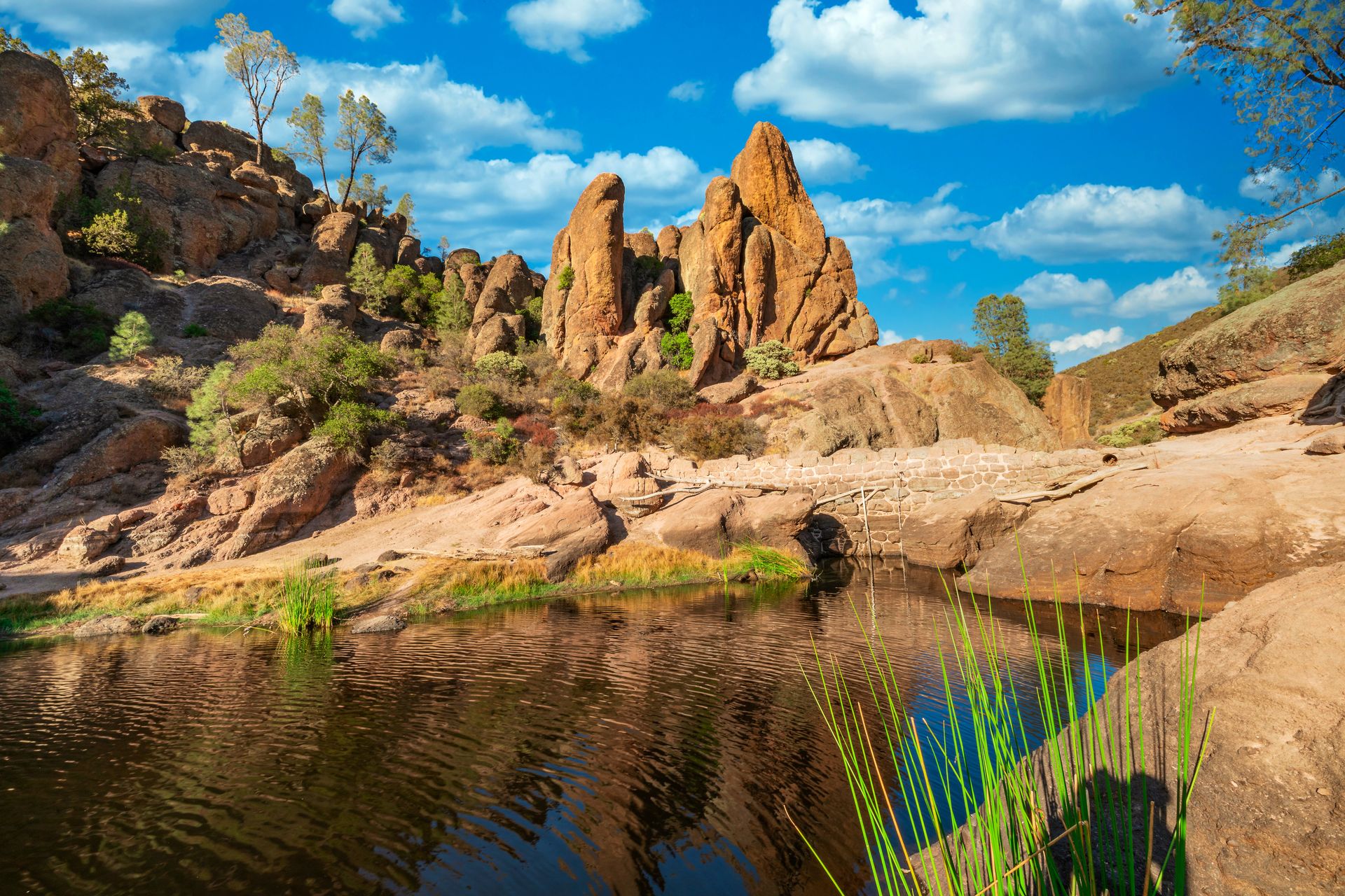
Roughly 30% of the newest national parks are located in California, one of the most disproportionately beautiful and scenic states in the country. Pinnacles waited a genuinely long time for its own moment in the spotlight, though, since the site was first designated a national monument back in 1908 and didn’t actually become a national park until 2013.
Today, Pinnacles draws visitors specifically for its eroded rock spires, an extinct volcano, and unusual talus caves, all products of the area’s unique seismic history near the San Andreas Fault. The park also protects genuinely notable flora and fauna, including endangered California condors that soar above the rugged terrain. Sitting just 80 miles from San Francisco, Pinnacles has become genuinely popular for excellent camping, hiking, and rock climbing within easy reach of the Bay Area.
Birders especially appreciate the Condor Gulch Trail, a hike just shy of two miles that leads to a sweeping overlook, where visitors might spot some of the roughly 200 bird species that call this region home year-round. This relatively short trail gives casual visitors genuine access to some of the park’s best wildlife viewing without requiring a full day of hiking.
Visitors hoping to spot condors specifically should visit during cooler months when thermal updrafts carry the birds higher and make them considerably easier to spot circling above the rock formations. The park’s talus caves require a flashlight to explore properly, and seasonal closures sometimes protect resident bat colonies during sensitive breeding periods. Summer temperatures throughout the park can climb dangerously high, making spring and fall the more comfortable seasons for longer hikes among the rock formations. The park’s east and west entrances don’t connect by road internally, so visitors planning to explore both sides should expect a lengthy drive around instead of a direct crossing. Water sources throughout the backcountry stay limited, so hikers should carry enough for a full day instead of counting on refilling along the trail.
6. Great Sand Dunes towers over Colorado’s tallest dunes
Credit: U.S. National Parks Service
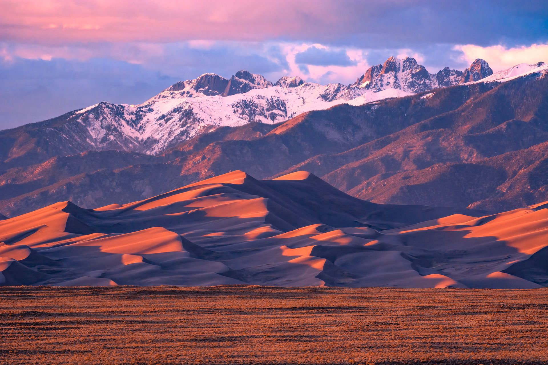
At 750 feet tall, Colorado’s Great Sand Dunes rank as the tallest sand dunes found anywhere in North America, formed by centuries of erosion from the surrounding Sangre de Cristo and San Juan Mountains that left sediment trapped in the valley between the two ranges, gradually piled higher by prevailing winds over countless years. This unusual geological process gives visitors a genuinely unique opportunity to sandboard down steep dune peaks with snow-capped mountains rising dramatically in the background, an activity unavailable in many other places.
First preserved as a national monument in 1932 and later designated a full national park in 2004, the Great Sand Dunes doesn’t attract the large crowds found at other western parks, such as the Rockies. Visitors who do make the trip find plenty of fun available with considerably more elbow room than busier, more famous parks typically offer.
Playing in the park’s Medano Creek offers a genuinely nice way to cool off after a session of sandboarding, and off-roading the Medano Pass Primitive Road gives adventurous visitors with the right vehicle an additional way to explore the surrounding terrain beyond the main dune field itself.
Visitors planning a sandboarding trip should rent or bring a dedicated sand sled or board specifically, since standard snowboards and sleds don’t glide effectively across sand and can leave visitors disappointed with their equipment choice. Medano Creek’s flow varies dramatically by season, and late spring typically offers the best snowmelt-fed water levels for wading alongside the dunes themselves. Visitors should start dune hikes early in the day during summer, since sand surface temperatures can climb high enough to burn exposed skin by midafternoon. Visitors should wear closed-toe shoes for the hike up the dunes, since loose sand can hide sharp debris, and the surface itself can burn bare feet. Stargazing here also rewards visitors well after sandboarding ends, since the park’s remote location keeps night skies genuinely dark and clear. A warm layer helps for evening stargazing once desert temperatures drop.
7. Congaree floods a forest of ancient cypress trees
Credit: U.S. National Park Service
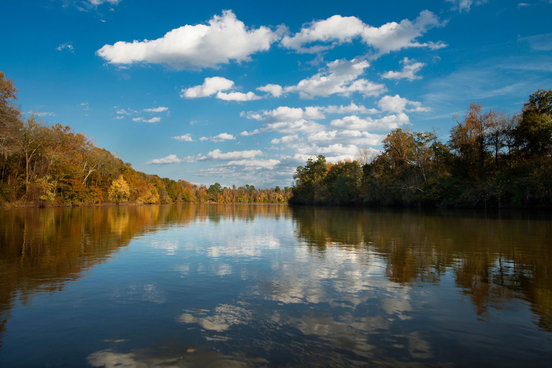
A southern swamp filled with strange root sculptures rising from giant old-growth cypress trees offers the simplest description of Congaree, which became a national park in 2003 after first earning protection as a National Monument in 1976 and later a UNESCO biosphere reserve designation in 1983. Technically speaking, the 27,000-acre park isn’t actually a true swamp, but rather a long-standing floodplain, ranking among the last remaining examples of old-growth bottomland hardwood forest that once covered much of the southeastern United States.
Congaree remains a genuine Southern belle regardless of the technical distinction, especially given its popular boardwalk and canoe trails winding through stands of loblolly pine, persimmon, water tupelo, and bald cypress throughout the park. This mix of accessible boardwalk and more adventurous canoe routes gives Congaree genuine appeal across a wide range of visitor interests and physical abilities.
Instead of driving the standard 30 minutes from Columbia, South Carolina, to reach Congaree, visitors can paddle and float directly to the park along the Congaree River Blue Trail, a 50-mile waterway running from the West Columbia Riverwalk to the Bates Bridge landing within the park itself, with numerous put-ins and take-outs scattered along the route.
Visitors planning a canoe trip through Congaree should check current water levels before setting out, since the park’s floodplain nature means conditions can shift considerably depending on recent rainfall throughout the surrounding region. The park’s firefly synchronization event each spring draws visitors specifically hoping to witness one of only a few known locations in the country where fireflies flash in unison. Mosquitoes throughout the floodplain can grow genuinely intense during warmer months, and the park even publishes a seasonal mosquito meter to help visitors plan accordingly. The park’s 2.4-mile boardwalk loop stays elevated above the floodplain, giving visitors a dry, accessible way to experience the forest even during wetter parts of the year. Insect repellent remains genuinely essential throughout the warmer months here at Congaree.
8. Cuyahoga Valley carves calm into Ohio’s industrial belt
Ryan Grewell / Unsplash
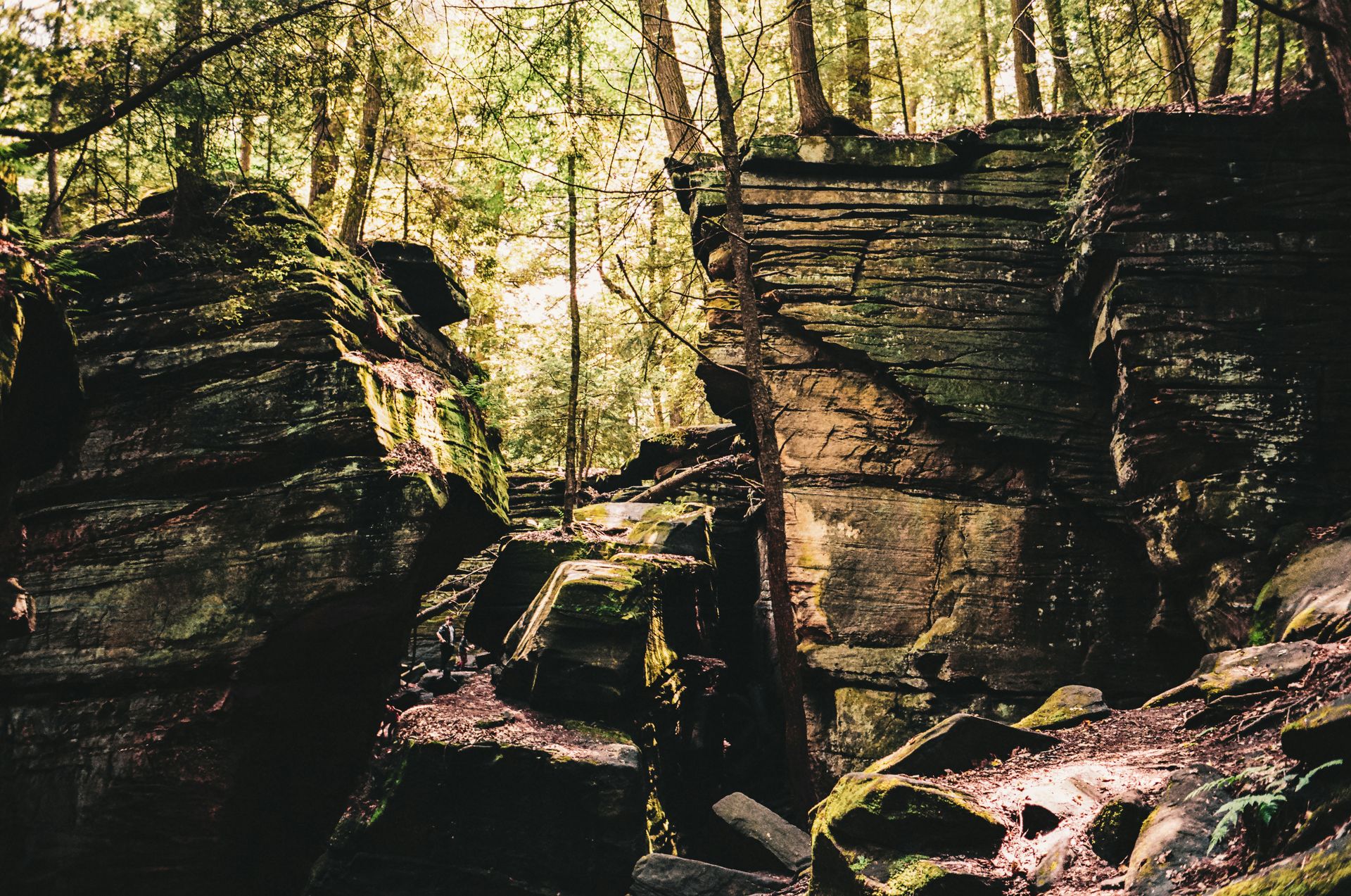
Cuyahoga Valley functions more as an urban oasis than a traditional, remote national park, despite being highly rated by regular visitors. First designated a national recreation area in 1974 before achieving full park status in 2000, the sanctuary offers genuine peace and numerous waterfalls, though its proximity to both Cleveland and Akron means the park stays crisscrossed by roads, city parks, private homes, and other human development that might disappoint visitors specifically seeking untouched wilderness.
Some of these reminders of the region’s former industrial heyday actually make Cuyahoga a genuinely fun place for outdoor recreation, including hiking and biking the Ohio and Erie Canal Towpath Trail, which traces a historic transportation route directly through the park. This blend of natural scenery and industrial history gives Cuyahoga a genuinely different character than most other national parks in the system.
The Cuyahoga Valley Scenic Railroad offers a genuinely fun way to see the park, particularly for families traveling with small children who might struggle with longer hikes. Cyclists and backpackers also appreciate the option to hop aboard the train with their gear after riding the Towpath Trail, rather than having to turn around and retrace their entire route on foot or by bike.
Visitors planning a trip on the scenic railroad should check the seasonal schedule in advance, as service and specific routes can change depending on the time of year and any ongoing track maintenance. Brandywine Falls, one of the park’s most photographed waterfalls, is an easy walk from its own dedicated parking area, making it accessible even to visitors with little hiking experience. The Boston Store Visitor Center, housed in a restored 19th-century building, offers historical exhibits well worth a stop for visitors interested in the valley’s canal-era past. Farmers' markets held seasonally throughout the valley connect visitors directly with local growers, adding a genuinely community-oriented dimension to a park visit. Comfortable walking shoes help considerably along the Towpath Trail’s gravel surface.
9. Black Canyon plunges thousands of feet into darkness
Credit: U.S. National Park Service
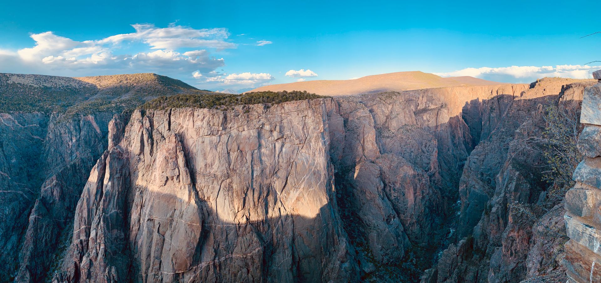
Officially known since 1999 as Black Canyon of the Gunnison National Park, the park’s namesake rock walls drop a dizzying 2,600 feet below to the river, carving through the canyon floor. Stacking the Empire State Building in New York atop the Willis Tower in Chicago would still leave the combined structures two stories short of reaching the canyon’s rim, giving visitors a genuine sense of just how deep this particular canyon actually runs.
The overlook at Warner Point, just a mile and a half down the trail from the visitor center, overlooks the deepest section of Black Canyon, which measures 2,722 feet at its most extreme point. Driving the North Rim Road and stopping at the Narrows View overlook reveals exactly how Black Canyon earned its name, thanks to the knife-thin gouge the river has carved over centuries, narrowing to just 40 feet wide in some sections, where parts of the canyon receive only 30 minutes of direct sunlight each day.
This pairing of extreme depth and narrowness gives Black Canyon a genuinely dramatic character distinct from wider, more open canyons found elsewhere in the American Southwest. Few other national parks anywhere in the country combine this much vertical drama within such a narrow physical footprint.
Visitors hoping to photograph the canyon at its most dramatic should specifically target the narrow window each day when direct sunlight actually reaches the canyon floor, since lighting conditions shift dramatically throughout even a single afternoon here. The park’s South Rim Road offers the most developed access for visitors with limited time, while the North Rim requires a longer, considerably rougher drive. Visitors hoping to hike down to the river itself should know that no maintained trails lead to the bottom, and the unmarked routes that exist demand a genuine wilderness experience. Stargazing throughout the park ranks among the best in Colorado, since the canyon’s remote location and minimal light pollution create genuinely dark night skies.
10. Death Valley bakes Earth’s hottest recorded ground
Johannes Plenio / Unsplash
Death Valley still held status as a national monument, the second-highest protection level within the National Park Service at the time, when George Lucas first directed the original Star Wars here in 1977. Named by gold rushers passing through in 1849, the Great Basin Desert, the hottest place on Earth, carried its monument designation from 1933 until 1994, when it officially became a full national park.
Today, Death Valley remains the driest and lowest place in North America, and the hottest place on Earth, having recorded a temperature of 134 degrees Fahrenheit in the shade. This pairing of extreme heat, extreme dryness, and extreme elevation gives Death Valley a genuinely unmatched collection of environmental superlatives among American national parks.
Badwater Basin is the lowest point on land in the Western Hemisphere, sitting 277 feet below sea level and reachable via a quarter-mile boardwalk leading out from the Furnace Creek Visitor Center. This easy, accessible walk lets even casual visitors experience one of the park’s most significant geographic superlatives without requiring any strenuous hiking.
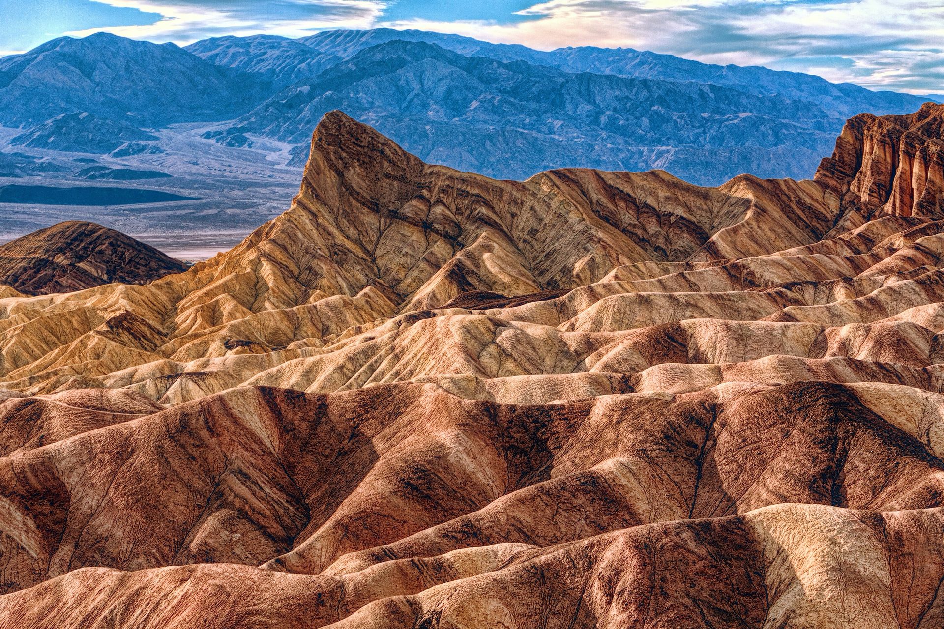
Visitors planning a Death Valley trip should avoid summer entirely if possible, since daytime temperatures during the hottest months can turn genuinely dangerous even for short excursions away from an air-conditioned vehicle. Dante’s View, reachable by a paved road, offers a sweeping overlook across the entire valley floor and ranks among the park’s most rewarding stops for visitors short on time. Visitors should carry considerably more water than they think necessary, since the combination of heat and dry air dehydrates people faster than most realize until symptoms set in. Zabriskie Point, a short walk from its own parking area, offers sweeping views across eroded badlands and ranks among the park’s most photographed sunrise spots. Checking a vehicle’s cooling system before the drive also matters, given the extreme heat, since a roadside breakdown in this particular heat can turn genuinely dangerous quickly.