C.C. Francis / Unsplash
The Caribbean’s visual signature, the turquoise water and powdery white sand that appear in practically every travel advertisement and screen saver, is reproduced in the United States more faithfully and more frequently than most domestic travelers realize. The mechanism is geological and optical: fine white quartz sand reflects light at a frequency that shifts shallow clear water from blue toward the turquoise-green end of the spectrum, and the same geological conditions that produce the Caribbean’s most celebrated beaches exist in Florida, Georgia, North Carolina, and, perhaps most surprisingly, along the freshwater shores of Lake Michigan. The Caribbean does not have a monopoly on turquoise water and white sand.
The distance advantage is real and substantial. The beaches of the Florida Panhandle, which offer some of the most genuinely Caribbean-like scenery in the continental United States, are a direct drive from major southeastern population centers. Caladesi Island, the barrier island off the Gulf Coast, is a ferry ride from Dunedin. The Florida Keys’ Bahia Honda $HMC State Park is a 45-minute drive from Key West. The practical appeal of the domestic Caribbean equivalent extends beyond mere aesthetics: the logistics are simpler, the costs are lower, and for travelers who are either unable or unwilling to obtain or carry a passport, the options are numerous and genuinely beautiful.
The 10 beaches below appear in Travel + Leisure, selected by the publication’s editors and its A-List Advisors as the U.S. beaches whose scenery most closely approaches the Caribbean experience without requiring an international departure. Several carry specific endorsements from travel advisors with direct Caribbean experience, giving the comparisons professional credibility from the travel advisors who have personally visited both the Caribbean originals and the domestic destinations being compared to them in each case.
1 / 10
Credit: Caladesi Island State Park
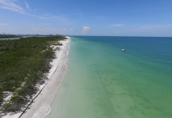
Caladesi Island State Park on Florida’s Gulf Coast gives the Caribbean comparison its most direct and credentialed expression: Travel + Leisure A-List Advisor Jim Augerinos describes the island’s water as having the calm, crystal-clear turquoise color people specifically associate with the Caribbean, and the silky soft sand as rival to beaches normally found much further south. Augerinos goes further, noting that on the right day, especially in the late afternoon light, the island genuinely feels more like Turks and Caicos or the Bahamas than mainland Florida. The island is accessible only by boat from Dunedin, which gives it a natural crowd filter that keeps commercial development and resort infrastructure off the beach.
The island’s pristine shoreline reflects its designation as a state park: no large resorts, no commercial development, and a natural landscape whose Gulf of Mexico location gives the water its distinctive clarity and calm. The Gulf’s shallow, warm, and protected character on this stretch of the Florida coast produces the swimming conditions whose tranquility is the Caribbean reference’s most practically accurate element, and the white sand’s composition, similar to the quartz-dominant beaches further along the Florida Panhandle, gives the visual experience its most compelling credential.
The ferry from Honeymoon Island State Park, the most practical public access point, offers a 15-minute crossing, whose distance from the mainland is sufficient to make the island feel genuinely separate from the developed coast it faces. Reservations for the ferry are recommended during peak summer weekends, when the park’s popularity and capacity limits together give the unplanned visitor a meaningful chance of missing the last ferry back to the mainland. The kayak trails through the mangrove system on the island’s bay side give the active visitor a second ecological program alongside the beach, and the naturalist interest in the island’s bird populations, including the osprey nests visible from the boardwalk, gives the wildlife watching its most accessible format for the visitor who arrives without specific gear.
2 / 10
AlaskaDave / Wikimedia Commons (CC BY-SA 3.0)
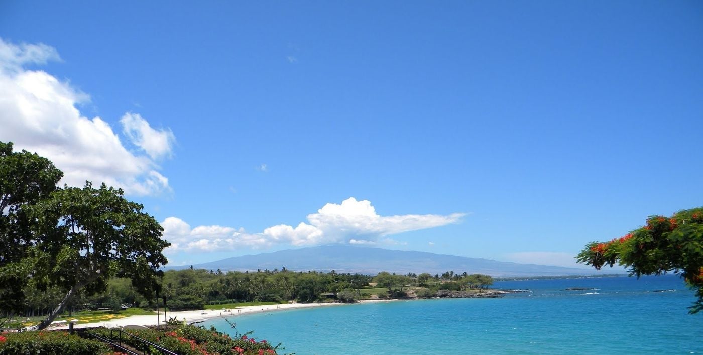
Kaunaoa Beach, also known as Mauna Kea Beach, occupies a crescent-shaped bay on the Kohala Coast of the Big Island of Hawaii and gives the Pacific-coast traveler a tropical beach whose visual quality, powdery white sand, translucent turquoise water, and calm swimming conditions produce the Caribbean comparison without the additional transoceanic flight that the actual Caribbean would require from a Los Angeles or Seattle departure. The beach’s protected bay position gives the swimming conditions their specific calm, and the clarity of the water gives the snorkeling its most productive visual access to the reef ecosystem.
The snorkeling program includes colorful reef fish, coral formations, sea turtles, and, in the evening, the manta ray encounters for which this stretch of the Kohala Coast is internationally known. The manta rays that feed at night in the illuminated shallows off the Mauna Kea Beach Hotel give the after-dark visitor an aquatic wildlife experience specific to this coastline and unavailable at any comparable Caribbean beach. The sea turtles that rest on the beach and feed in the adjacent reef give the daytime program its most celebrated single wildlife encounter.
The Mauna Kea Beach Hotel, which occupies the hillside above the beach, gives the visitor who stays there direct beach access at times when the public access parking is filled, but the beach itself, like all Hawaiian beaches, is public land, and the public parking lot gives the day visitor an access route whose morning arrival timing gives the best chance of securing a space. The beach’s fame has grown with its travel media coverage, which means the early morning arrival recommendation reflects a genuinely competitive access environment during peak summer and holiday weekends. The Parker Ranch and the Kohala Mountain road behind the beach give the visitor who extends the day trip beyond the beach a dramatic landscape of high-elevation grasslands and volcanic mountain terrain whose visual contrast with the tropical coastline below gives the Big Island its most concentrated geographic variety in a single half-day itinerary.
3 / 10
Credit: California Beaches
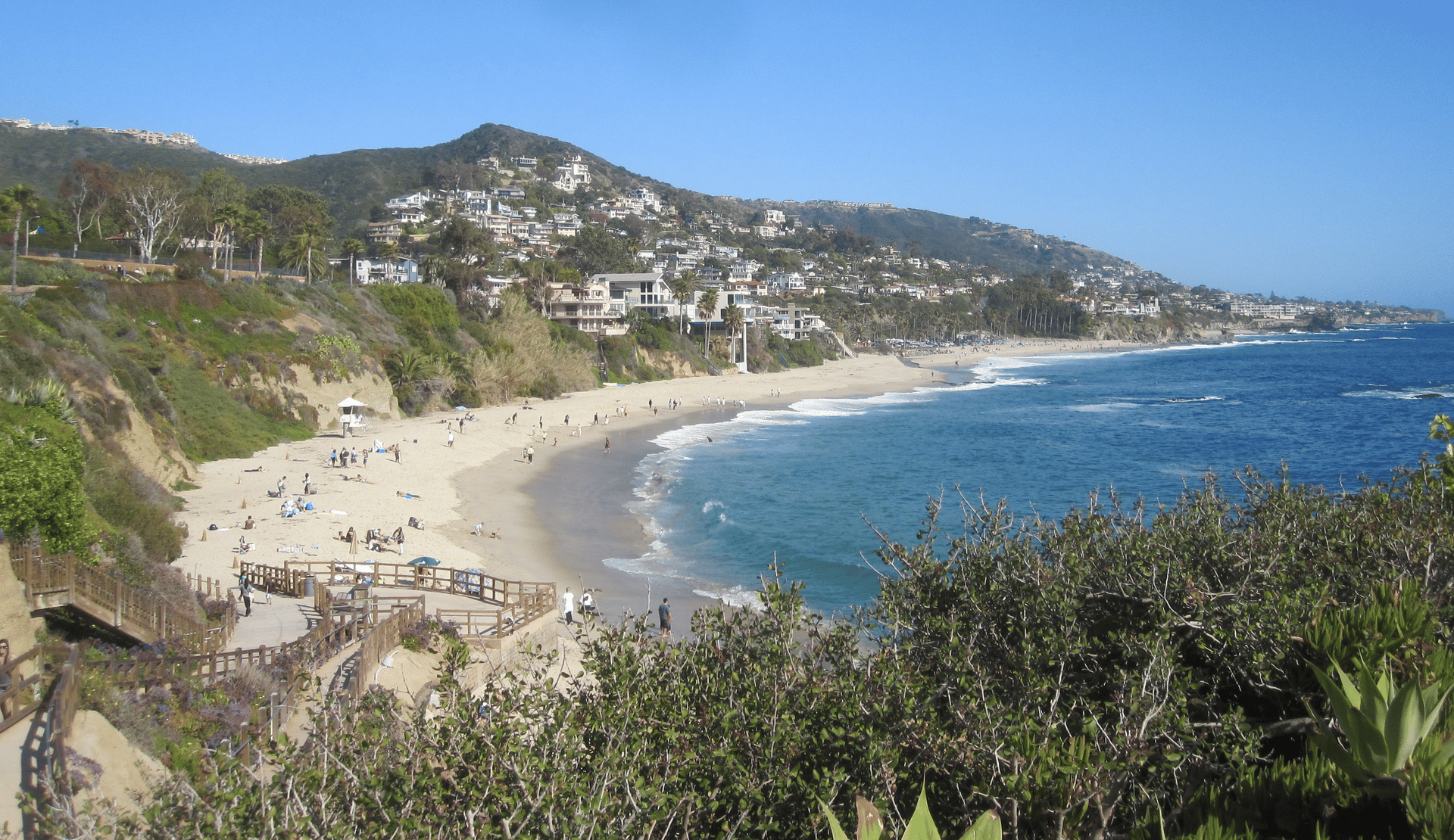
Treasure Island Beach is a roughly 1,300-foot beach tucked below the Montage Laguna Beach resort in Orange County, offering Southern California beach visitors the most distinctly Caribbean coastal environment accessible from Los Angeles. The Travel + Leisure A-List Advisor Kara Bebell describes the area as feeling like a hidden cove of a luxurious Caribbean island, where salty waves crash against stunning rock formations and a soft-sand beach invites visitors to slow down. The beach’s specific visual quality comes from the rocky cove’s enclosure, whose cliff walls give the beach its sheltered character, and the water’s deep blue-green color, which the offshore kelp forest and the rocky bottom intensify toward the teal end of the spectrum.
The tide pools give the beach its most distinctive natural feature at low tide: the rocky coves and channels exposed by the receding water give the beachcomber and the young child a natural aquarium whose inhabitants, sea anemones, hermit crabs, periwinkles, and small fish, give the rock pool exploration a specific natural history program unavailable at the wide sand beaches to the north and south. Snorkeling off the beach’s rocky points provides the water-based natural history program with its most immersive experience.
The beach’s position below the Montage resort requires specific logistics consideration: the resort’s beach access is for guests, but public access via the park and parking area at the north end of the beach provides the general visitor's approach route. The beach’s relative obscurity compared to the more heavily marketed Laguna Beach main beach and Thousand Steps Beach gives Treasure Island the specific crowd advantage that the cove’s beautiful and famous neighbors have surrendered to their own popularity. The Laguna Beach arts community, whose galleries and the annual Pageant of the Masters event give the town its cultural identity alongside the coastal scenery, provides a cultural program that extends the Treasure Island day trip beyond the beach hours.
4 / 10
Larry D. Moore / Wikimedia Commons (CC BY 4.0)
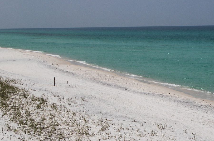
Grayton Beach State Park in the Florida Panhandle gives the emerald-green water and sugar-white sand combination its most protected and most geologically specific expression in the continental United States. The 99 percent quartz sand that characterizes the Panhandle beaches gives the sunlight-sand interaction its most brilliant reflective effect, and the Panhandle’s specific coastal geometry, shallow Gulf water over the bright sand bottom, gives the water its distinctive emerald-green color, whose shade varies with depth and angle of light. The nearly 2,000 acres of protected shoreline, pine flatwoods, and coastal dune lakes give the park a scale and diversity of natural environments that the beach alone, however beautiful, cannot fully represent.
The coastal dune lakes are the park’s most geologically unique feature: the shallow lakes that form between the coastal dunes and the inland landscape are a natural phenomenon found in only a handful of places worldwide, and the Grayton Beach area contains one of the most concentrated clusters outside of western Africa. The lakes periodically overflow their berms and connect to the Gulf of Mexico, creating brackish water bodies whose specific ecology reflects the intermittent mixing of fresh and salt water. Kayaking and paddleboarding on the dune lakes give the active visitor a water experience specific to this unusual geology.
The park’s position along the Scenic Highway 30A corridor gives it convenient access from the beach communities of Seaside, Rosemary Beach, and WaterColor, whose visitor populations give the park its crowd pattern: weekends in summer can be busy, and the early morning or late afternoon visit avoids the peak heat and the peak crowd simultaneously. Camping within the park offers the overnight visitor a sunrise program tailored to the beach’s eastern horizon view. The park’s position within the Scenic Highway 30A corridor gives it a convenient base in one of Florida’s most celebrated beach town clusters, and the restaurants, boutiques, and galleries of Seaside, Rosemary Beach, and WaterColor give the Grayton Beach camping trip a day trip program whose cultural quality reflects the specific design and community ambitions of the 30A towns.
5 / 10
Moriah Bender / Unsplash
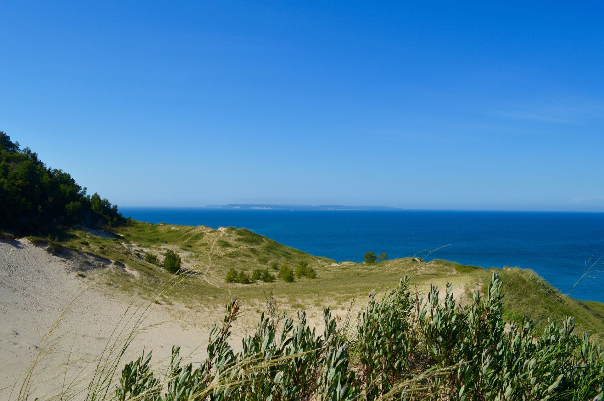
Sleeping Bear Dunes National Lakeshore gives the Caribbean-beach-in-the-United-States premise its most geographically improbable and most visually convincing inland expression: the turquoise water visible from the Lake Michigan shoreline of this northwestern Michigan national park is genuinely turquoise, and the mechanism is the same as in the Caribbean. The clean, glacially scoured freshwater of Lake Michigan, one of the clearest large lakes in North America, reflects light over the sandy bottom, producing a blue-green color whose Caribbean associations make first-time viewers doubt what they are seeing. The lake’s freshwater composition and the absence of marine algae give it a clarity that tropical ocean waters, even when warm and bio-productive, do not consistently maintain.
The dune system gives the park its most dramatic landscape feature: the largest freshwater dune system in the world, whose towering sand faces rise directly from the lake’s shore, providing the beach with the most vertically dramatic backdrop of any American lakeside beach. The dune climb, notoriously steep and physically demanding in the heat, rewards the summit with a view across the lake whose breadth, 75 miles to the Wisconsin shore, gives it the visual scale of an ocean horizon. The descent to the lake at the dune base gives the hiker a specific payoff whose swim in the turquoise water makes the climb’s effort feel precisely proportionate.
The park’s 35-mile lakeshore offers a beach length that ranges from the developed access points near Glen Haven and Sleeping Bear Point to the more remote stretches accessible only by foot or kayak. The fall color season, when the beech and maple forests that back the dunes turn gold and orange, gives the September and October visitor a visual program that the Caribbean comparison cannot offer at any price. The nearby Leelanau Peninsula wine country, whose climate is moderated by the lake, adds a culinary and agricultural dimension to the Sleeping Bear Dunes visit.
6 / 10
Darren Tolley / Unsplash
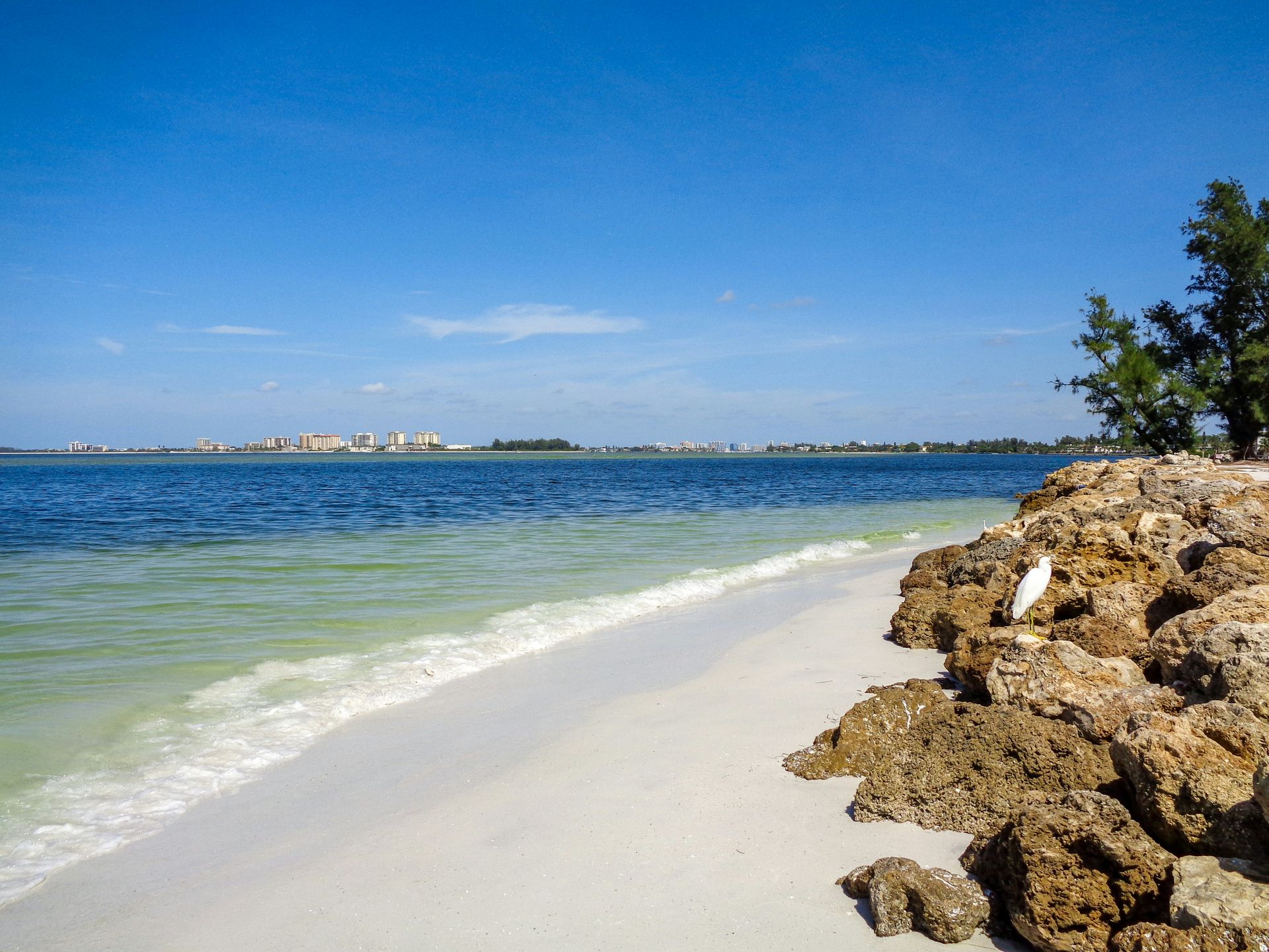
Siesta Beach on Siesta Key near Sarasota holds the most recently bestowed best beach in the United States designation and earns the Caribbean comparison through the specific physical properties of its sand: 99 percent quartz crystal, whose extreme fineness and low heat absorption give the beach its two most celebrated characteristics, the powdery texture and the cool-to-touch surface that allows barefoot walking in full Florida summer sun without pain. The quartz composition is the same as that of the Panhandle’s famous white beaches, but the concentration and fineness of Siesta give the sensory experience its most specific expression on the Gulf Coast.
The calm, shallow water adjacent to the beach gives the swimming conditions their Caribbean reference: the Gulf of Mexico’s protected geometry on this stretch of the Sarasota coastline gives the inshore water its specific tranquility, and the turquoise color produced by the shallow depth over the white sand bottom gives the visual program its most photogenic expression in the Sarasota area. The water’s warmth, maintained by the Gulf’s shallow-water heating across the summer months, gives the swimming a comfort level unavailable at the colder Atlantic beaches.
The beach’s development offers visitors a full-service experience alongside the natural beauty: water-sports rentals, beachfront dining, lifeguard coverage, and the social atmosphere of a widely popular public beach provide Siesta with a range of activities and conveniences that the more remote natural beaches on this list do not. The village of Siesta Key, immediately adjacent, gives the dining and shopping program its most pedestrian-accessible options, and the sunset views from the beach’s western exposure give the evening visitor the Gulf of Mexico’s most celebrated atmospheric display. The drum circle that forms on the beach at Sunday sunset gives the Siesta Key evening its most specifically social and cultural program: the weekly gathering, which has been occurring spontaneously for decades, gives the visit its most locally distinctive single experience and a social spectacle whose regularity and energy give the Siesta Key Sunday evening a specific reason to stay.
7 / 10
Credit: U.S. National Park Service
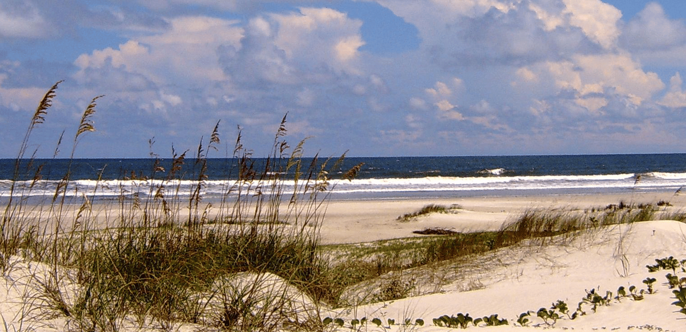
Cumberland Island National Seashore is accessible only by passenger ferry or private boat from the coastal Georgia town of St. Marys, and the access filter gives Georgia’s largest and southernmost barrier island the specific character that makes it the most appropriate Caribbean comparison in the southeastern United States outside of Florida. The maritime forests of live oaks draped in Spanish moss, the expansive salt marshes, the shimmering coastal waters, and the wild horses that roam the dunes give the island a visual and ecological program whose tropical and temperate elements together create a character for the Cumberland Island experience unlike any other National Seashore.
The wild horses, descended from domestic horses brought to the island by early European settlers and subsequently feral, move through the dunes and the maritime forest with an indifference to human presence specific to an animal that has lived without predators or management for generations. The Dungeness ruins, the remains of a Carnegie family mansion on the island’s southern end, serve as the cultural program's most photogenic single destination and the island's most frequently visited historical site. The architectural ruin and natural reclamation together, where the mansion’s walls are now pierced by fig trees and draped with climbing plants, give the visit a distinct visual quality that the purely natural beaches do not.
The famous celebrity connection, the site of John F. Kennedy Jr. and Carolyn Bessette’s 1996 wedding at the First African Baptist Church, gives the island a specific cultural resonance that travel media consistently references. The church itself, a small white-painted structure in the island’s interior, gives the visitor a destination beyond the beach whose historical significance, as one of the oldest Black-congregation churches in Georgia, extends well beyond the celebrity association. The Cumberland Island ferry schedule, which limits the daily visitor count to the island, gives the National Seashore an inherent crowd control that most coastal parks cannot achieve through management alone.
8 / 10
Credit: U.S. National Park Service
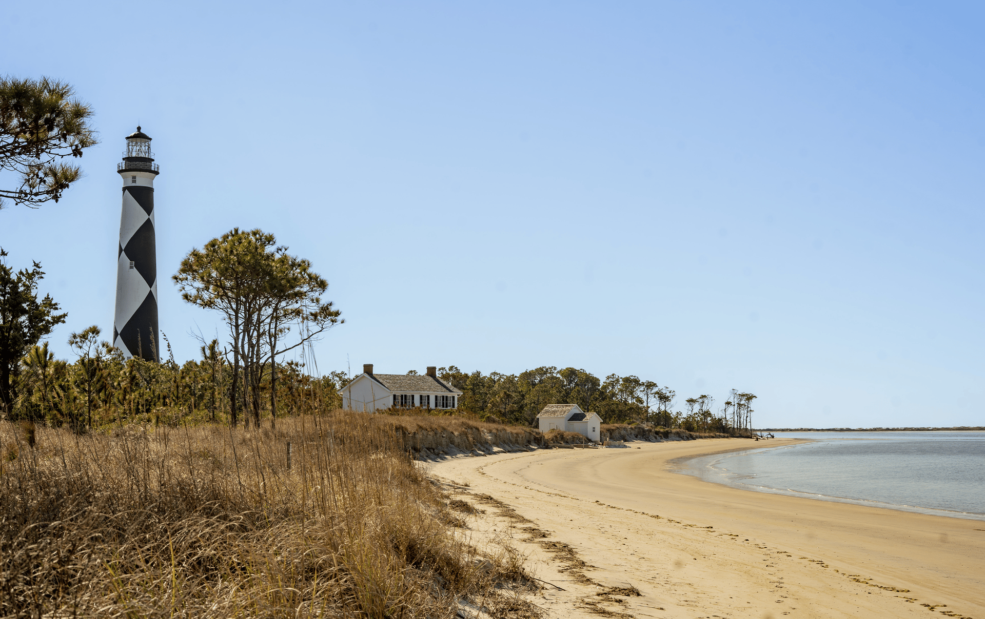
Cape Lookout National Seashore stretches 56 miles along the Crystal Coast of North Carolina, and it gives the Caribbean comparison its most geographically surprising entry on this list: a barrier island seashore on the outer coast of North Carolina, where the prevailing assumption places the beach firmly in the cool-water, mid-Atlantic category, that consistently produces clear blue-green water, wide sandy shoreline, and rolling dunes. Shackleford Banks, an 8.5-mile barrier island that forms part of the National Seashore, is home to wild horses, whose presence along the Atlantic Coast barrier islands gives the North Carolina and Georgia entries on this list their most specifically American wildlife credential.
The complete absence of commercial development along the 56-mile seashore, no shops, no restaurants, no paved roads, gives the Cape Lookout visit a level of natural immersion unavailable at the developed coastal parks whose amenities and crowds the traveler seeking seclusion is specifically trying to avoid. The access by ferry from Harkers Island and the Outer Banks gives the seashore its crowd filter, and the multiple ferry operators serving different sections of the seashore give the visitor choices about which stretch of beach to target for the day. The lighthouse at Cape Lookout, whose distinctive diamond-pattern paint job gives it the most immediately recognizable silhouette of any lighthouse on the Atlantic Coast, provides the visit's most photographed single subject.
The loggerhead sea turtles that nest on the seashore’s beaches from May through August give the summer visit a wildlife program whose nighttime nest-monitoring activities, managed by the National Park Service, give the visitor willing to participate a direct encounter with a natural process whose fragility and beauty give the wildlife experience its most emotionally resonant quality on the North Carolina coast. The access from the Outer Banks ferry connections gives the Cape Lookout visit a scenic approach, whose Hatteras Island passage and the Cedar Island ferry crossing provide the travel day with its own substantial visual program.
9 / 10
Credit: Florida State Parks
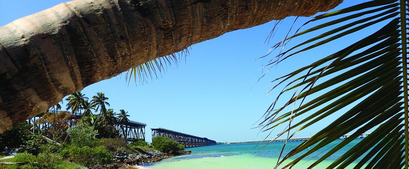
Bahia Honda $HMC State Park occupies a stretch of the Florida Keys whose beaches represent the most dramatic exception to the Keys’ general reputation for rocky shorelines and mediocre beach access. Travel advisor Allison Holmes describes it as one of Florida’s best-kept secrets and a rare exception to the notion that the Keys are not known for their beaches. Located about 45 minutes northeast of Key West on the Overseas Highway, the park gives the Florida Keys itinerary a beach component whose soft sand and calm, shallow water in the Keys’ signature blue-green color provide a specific natural payoff for the day trip from the more developed Lower Keys.
The park’s specific position in the Keys, at a widening in the islands’ narrow geometry that gives the park more beach than the surrounding Keys can provide, gives Bahia Honda its most distinctive structural credential: it is not a typical Keys beach because the typical Keys do not have beaches of this quality. The park’s old Bahia Honda Railroad Bridge, the remnant of Henry Flagler’s Florida East Coast Railway,, whose concrete arches rise above the water adjacent to the park, provides a historical program with a specific industrial-era artifact whose scale and age give it a visual presence unique to the Keys’ engineering history.
Snorkeling access to Looe Key Reef, one of the most celebrated coral reef systems in the Florida Keys, adds a marine program to the Bahia Honda day trip, extending the beach experience into the underwater environment. The reef’s coral formations and fish populations, protected within the Florida Keys National Marine Sanctuary, give the snorkel or dive excursion a distinct ecological quality, and the distance from the park’s beach, accessible by boat from the marina, makes the full-day Bahia Honda visit as complete as possible. The park’s campground offers the overnight visitor a unique Florida Keys experience, with its proximity to the water and the sky’s lack of light pollution making the Milky Way its most accessible Keys expression.
10 / 10
C.C. Francis / Unsplash
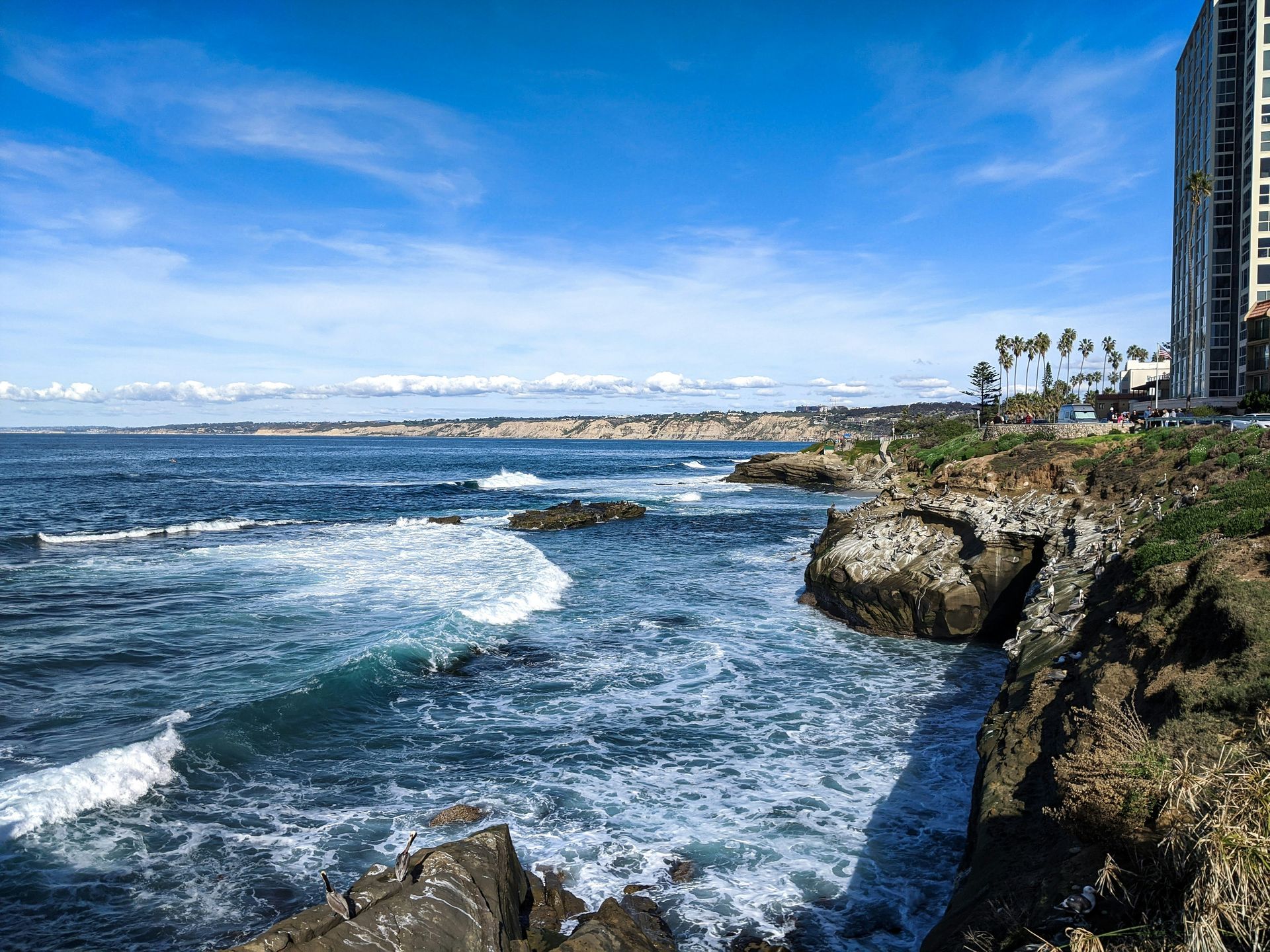
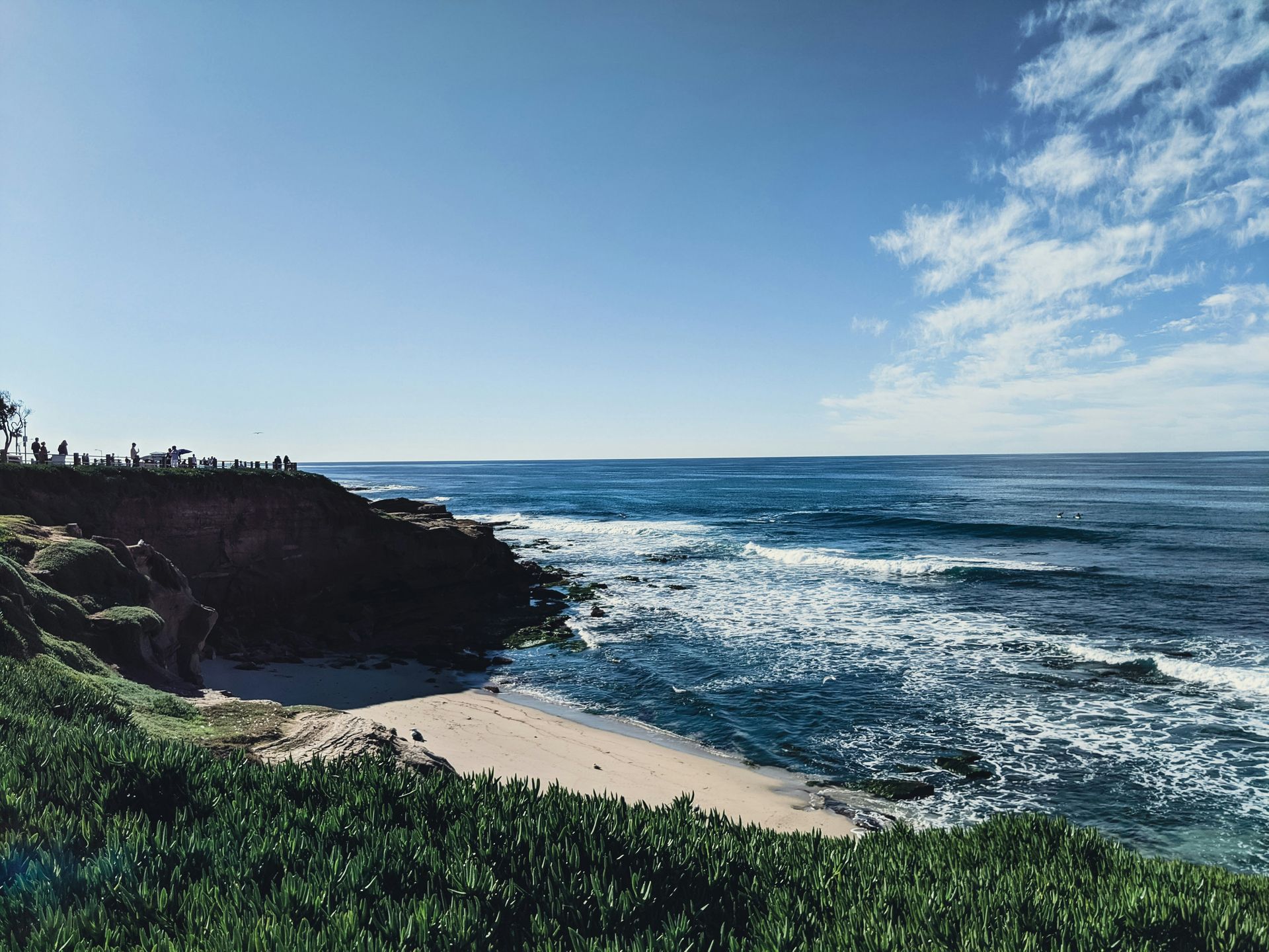
La Jolla Cove in San Diego gives the California Caribbean comparison its most marine-biologically productive expression: the underwater environment of the cove and the adjacent La Jolla Underwater Park, a protected ecological reserve, gives the snorkeler and the diver a water clarity that can exceed 30 feet of visibility and a marine wildlife inventory that includes sea lions, harbor seals, dolphins, Garibaldi fish, and leopard sharks. The Garibaldi, California’s state marine fish, gives the underwater visual program its most California-specific element: the brilliant orange fish, a protected species in California waters, inhabit the kelp forest and rocky reef of the cove in numbers that ensure every snorkeling session has multiple encounters.
The sea lions that use the cove’s rocks as a haul-out give the above-water program its most charismatic and loudest single feature: the colony’s barking, the animals’ characteristic indolence on the rocks, and their occasional cooperative foraging behavior visible from the cliffside overlooks give the visitor a wildlife encounter whose immediacy requires no equipment and no planning. The cove’s dramatic coastal geology, whose sandstone cliffs descend to the water in layered formations characteristic of the Torrey sandstone, provides a visual setting, while its cliffs and sea caves offer the kayaker and swimmer a physical environment specific to the San Diego coastline’s geology.
The Ellen Browning Scripps Park, the clifftop green space above the cove, provides a setting for the picnic and sunset viewing that offers a panoramic Pacific view and proximity to the marine reserve, giving La Jolla Cove its most complete visitor experience from the land-based perspective. The Prospect Street dining and gallery district, immediately adjacent, offers a restaurant program whose variety and quality reflect La Jolla’s unique position as one of the most affluent and culinarily sophisticated neighborhoods on the California coast. The Birch Aquarium at Scripps Institution of Oceanography, a short walk from the cove, provides a scientific context for the marine life encounter, with exhibits on the California Current ecosystem that give the visit an educational dimension specific to the research institution that has studied this coastline for more than a century.
