The best beaches to visit in Wales — from dolphin-watching at Mwnt to romantic views at Llanddwyn Beach
Nick Russill / Unsplash
Wales has more than 500 miles of designated Heritage Coastline, and the beaches along it span a range that surprises most visitors expecting a single type of seaside. There are wide, surf-ready bays on the Gower Peninsula, sheltered dolphin-watching coves in Cardigan Bay, remote headland inlets on the Lleyn Peninsula, and a classic Victorian pier resort in the north. The weather runs from bracing to genuinely warm in summer, but the landscape rewards visits in every season, and the off-season crowds at most beaches here are a fraction of what comparable beaches in England experience.
The common thread across Wales’s best beaches is how undeveloped most of them remain. Many are accessible only on foot. Several sit within designated Areas of Outstanding Natural Beauty or national parks. A few involve tidal windows that shape the visit around nature’s schedule. That last quality specifically distinguishes a Welsh beach day from anything a resort beach can offer: arriving at the right tide to walk to an island, or catching a seal colony in breeding season, or timing a sunrise visit to an otherwise crowded cove, produces experiences that no amenity package can replicate.
The 10 beaches below appear in Lonely Planet, written by Emma Sparks, covering Wales’s most rewarding coastal destinations from the Gower to Anglesey. All of the beaches listed here are accessible without specialist equipment or outdoor experience, though several require a modest level of fitness for the walking approach. The Wales Coast Path connects most of them, which means visitors with more than a day or two can build multi-beach itineraries along the trail. The Wales Coast Path runs for 870 miles around the entire Welsh coastline and passes through most of the areas covered by this list, giving walkers a framework for connecting these beaches into a longer journey rather than a series of separate car trips.
Ifeoluwa B. / Unsplash
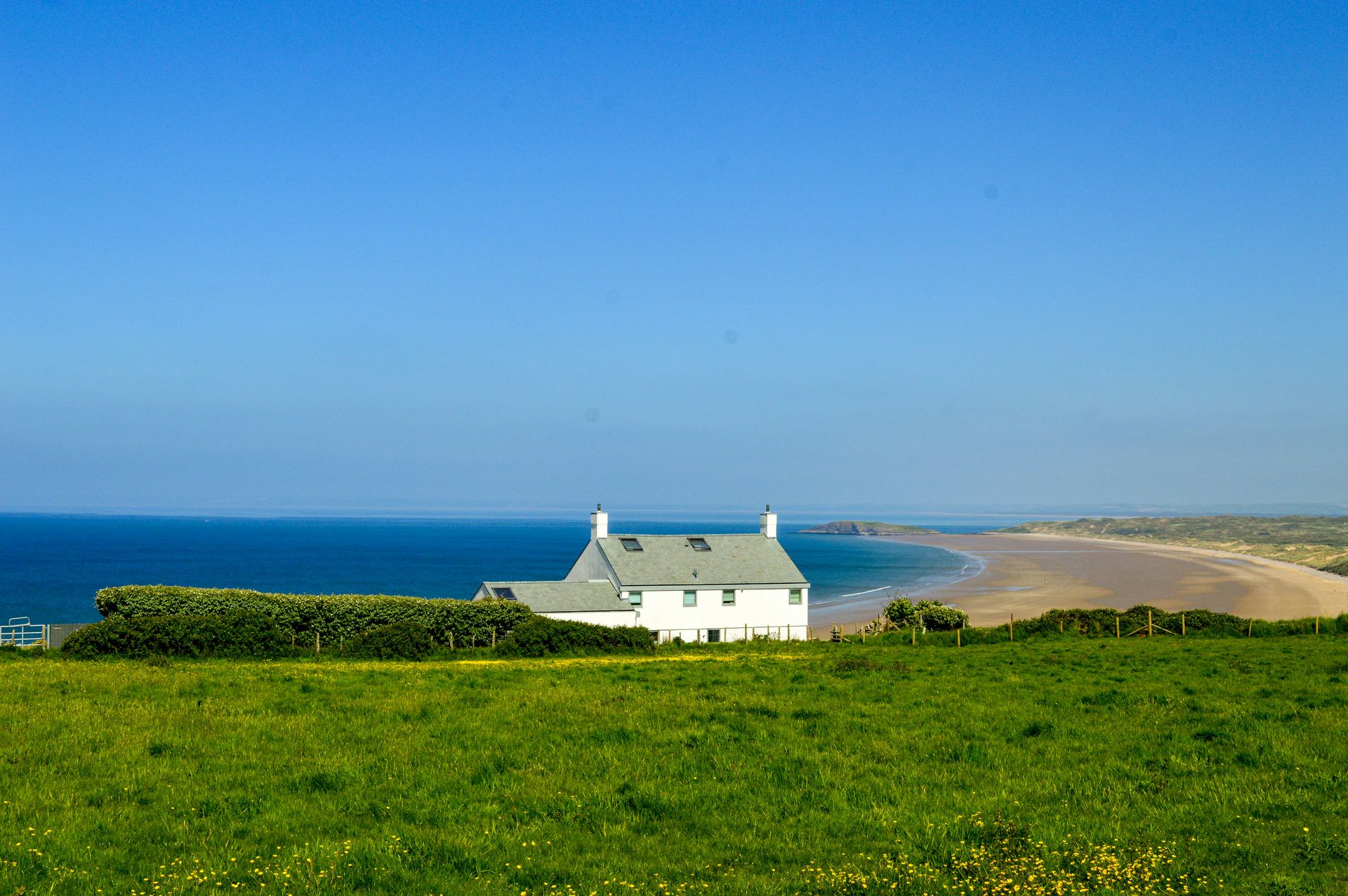
Rhossili Bay’s 3-mile stretch of golden sand on the Gower Peninsula has earned enough accolades to fill its own list, and the breadth and quality of the beach justify every one of them. The scale is best understood from the surrounding heather-covered clifftops, where the full sweep of sand and surf below becomes apparent in a way that standing on the beach itself doesn’t convey. Waves are consistent year-round, which makes this an all-season destination for surfers and a reliable spectacle for anyone who simply wants to watch the sea in motion.
Beginner surfers should stay at the slightly sheltered southern end, where conditions are more forgiving. More experienced surfers should head north for bigger swells. PJ’s Surf Shop in Llangennith rents boards and wetsuits and has the local knowledge to point visitors toward the best conditions on a given day. The Old Rectory, a pretty whitewashed cottage overlooking the bay and owned by the National Trust, is one of the most sought-after holiday lets in Wales and is rarely available on short notice.
The clifftop walk above Rhossili Bay is one of the finest short walks on the Gower, with views extending to Worm’s Head, the tidal island at the bay’s southern tip that is accessible by causeway for a limited window around low tide. The beach below and the headland above make Rhossili a full-day stop, not a half-day one, and most visitors who come specifically for the surf find themselves lingering well past their planned departure. The Worm’s Head tidal island at Rhossili’s southern end is accessible via a causeway for a two-and-a-half-hour window either side of low tide, and the crossing and scramble across the rocks to the island’s far end is one of the more distinctive short adventures on the Gower. The Gower Peninsula holds the distinction of being Britain’s first Area of Outstanding Natural Beauty, designated in 1956, and the quality of its beaches is a direct reflection of the development restrictions that status has imposed on the peninsula since then.
Holly Hoare / Unsplash
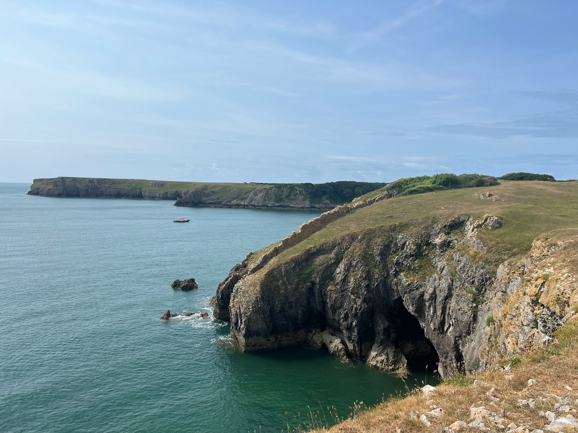
Barafundle Bay earns its reputation as South Pembrokeshire’s most celebrated beach through its size, setting, and access conditions that keep the crowd density lower than its fame would suggest. The bay is perfectly proportioned: sheltered enough to make it usable in moderate weather, large enough to absorb the summer visitors who make it their mission to reach it, and positioned within a National Trust coastal estate that limits the development its neighbors have accepted. The beach is accessible only on foot via the Wales Coast Path and a steep set of stone stairs, which deters the car-dependent day-tripper demographic that defines summer crowds elsewhere.
The water at Barafundle is notably clear for a Welsh beach, and the sand is fine and pale. The surrounding limestone cliffs and the woodland behind the bay create an enclosed, sheltered atmosphere that makes the beach feel discovered rather than managed. The Wales Coast Path that accesses the beach continues west to Stackpole Quay and east to the broad dunes of Freshwater West, giving visitors who want more than a day at one beach a genuinely rewarding multi-day walking option.
Weekday visits outside July and August produce the seclusion that weekend visitors in peak season rarely find. The lack of facilities beyond the beach itself, no café, no toilets at the beach, means coming prepared with food and water, which further reduces the casual visitor count. Pembroke Castle and the medieval walled town of Pembroke are within easy driving distance for visitors who want to add a historical dimension to their trip. The National Trust manages much of the Stackpole Estate surrounding Barafundle, including the Bosherton lily ponds, which are worth exploring as a complementary stop on the day of a beach visit. The ponds bloom with white water lilies from May through June and are accessed on a circular walk that passes through the estate’s woodland. The Pembroke Dock ferry terminal, serving routes to Rosslare in Ireland, is within 20 minutes’ drive of the Stackpole Estate, which makes Barafundle a viable stop on a broader itinerary that includes crossing to or from Ireland.
Jamie Chapman / Unsplash
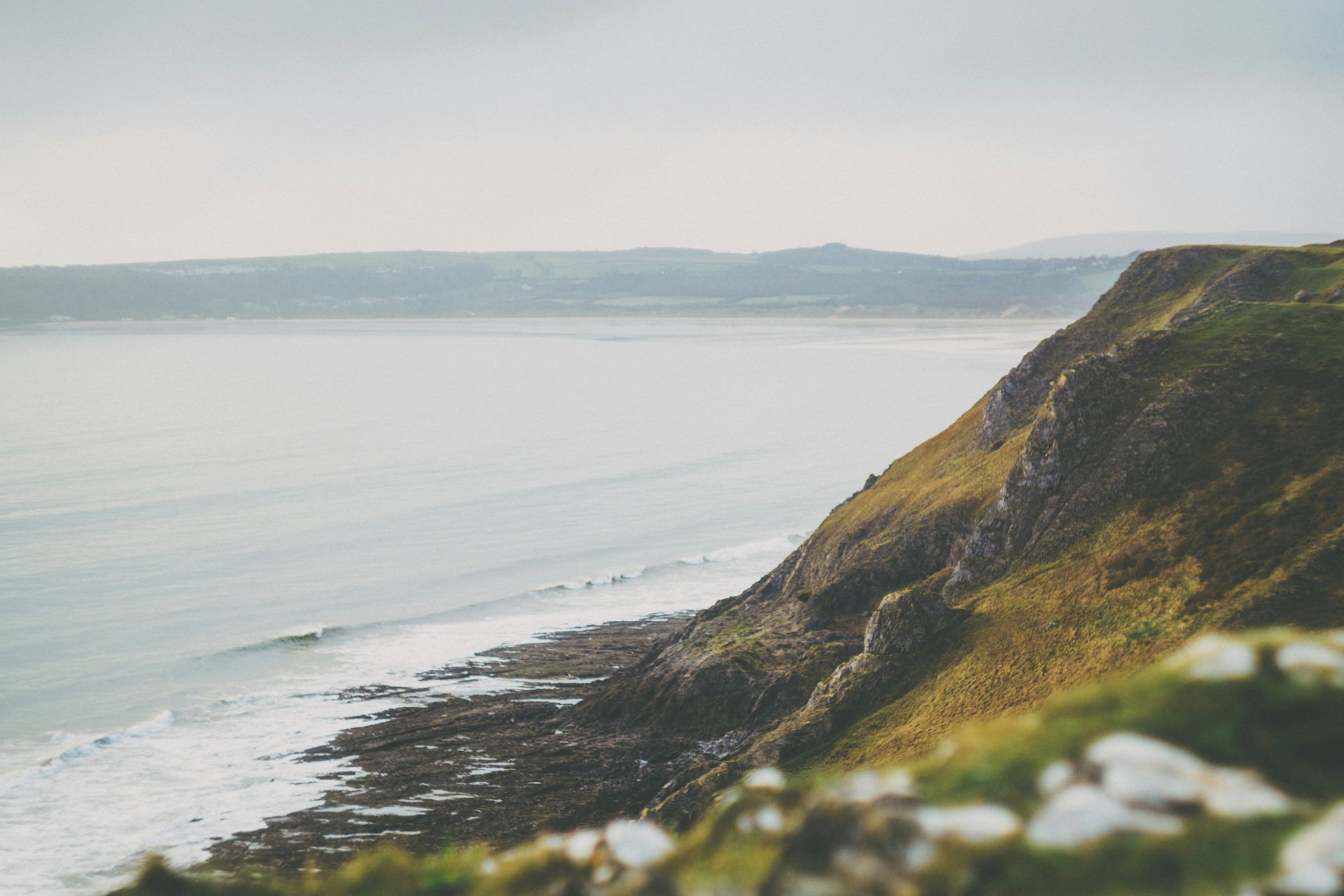
Three Cliffs Bay takes its name from the three jagged limestone cliffs that protrude from the sand like shark teeth, and the compositional gift they provide to photographers shooting at sunset is what has made the beach one of Wales’s most photographed. The bay sits on the Gower Peninsula south of Swansea and is accessible only on foot, which preserves its wild character despite its fame and relative proximity to a major city. Backed by rolling dunes, the beach maintains a genuine natural texture that easier-access beaches lose to heavy footfall.
The approach on foot adds to the experience, not detracting from it: the walk down from the National Trust car park at Penmaen takes about 20 minutes through agricultural land and along the clifftop, and the arrival at the bay from above gives the first view of the three cliffs in their full context. The tidal Pennard Pill stream crosses the beach and can prevent crossing to the main strand at high tide, which is worth checking before planning the visit.
Swimming at Three Cliffs Bay carries a specific warning worth taking seriously: the currents are strong and deceptive, particularly in the off-season when lifeguard cover is absent. The Lonely Planet writer specifically advises against swimming without a lifeguard present in those conditions. The beach is one of the more genuinely dangerous for swimming on this list, despite its visual appeal, and the activities to prioritize here are walking, photography, and watching the sea from the sand. The sunset views from the clifftop above Three Cliffs Bay, with the limestone formations lit orange and the tide pushing across the lower sand, are among the most photographed coastal scenes in Wales and consistently deliver on the expectation they create. The Gower’s Oxwich Bay, a broad, sheltered bay to the east, is a less dramatic beach in terms of photography but considerably easier for swimming and family use, and the two beaches complement each other for visitors spending multiple days in the area.
Bradley Pritchard Jones / Unsplash
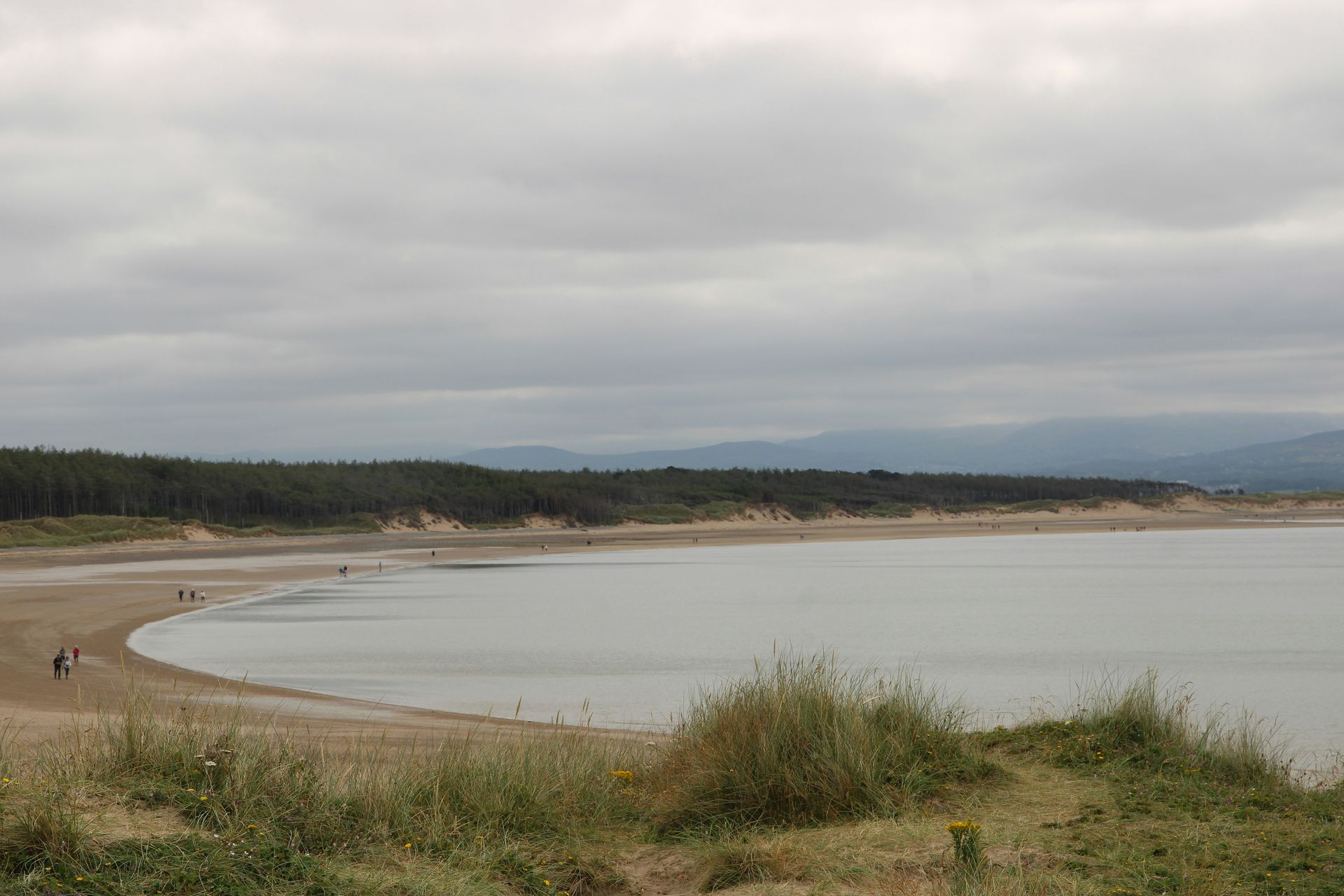
Llanddwyn Beach on Anglesey, also known as Newborough Beach, has a visual character that reads more like coastal Scandinavia than Wales: abundant Scots pines behind the dunes, a quality of light that shifts dramatically across the day, and a sense of geographic remove that the beach’s proximity to the Menai Strait makes surprising. The adjacent Llanddwyn Island, reachable on foot at low tide, is where St Dwynwen, the Welsh patron saint of lovers, lived in the 5th century, lending the beach a distinctive romantic mythology that makes it popular for marriage proposals.
The 3.5-mile circular walk along the Wales Coast Path that approaches the island is the recommended route, giving the visit a structured shape that ends at one of the most photogenic lighthouse settings in Wales. The island’s two lighthouses, one dating from 1873, are visible from the beach and from the mainland path, and the sea views from the island itself extend across Cardigan Bay toward the Lleyn Peninsula on clear days.
Newborough Forest, the Corsican pine forest that backs the beach and extends across much of this corner of Anglesey, has its own trail network worth exploring as a complement to the beach visit. Natural Resources Wales manages the forest and maintains a car park and facilities at Newborough village, which serve as the practical starting point for both forest and beach access. The beach itself runs for several kilometers and rarely feels crowded even in summer, given the scale of the shoreline relative to visitor numbers. The Royal Commission on the Ancient and Historical Monuments of Wales has recorded several sites along the beach’s approach path, including the remains of the early medieval settlement at Newborough that preceded the village’s current form, giving the walk a historical layering that complements the natural setting. Newborough National Nature Reserve, which encompasses the beach and the forest behind it, is managed by Natural Resources Wales. Its website provides current access information and seasonal notes on wildlife activity, worth checking before visiting in spring, when ground-nesting birds may restrict access to parts of the dune system.
Nick Russill / Unsplash
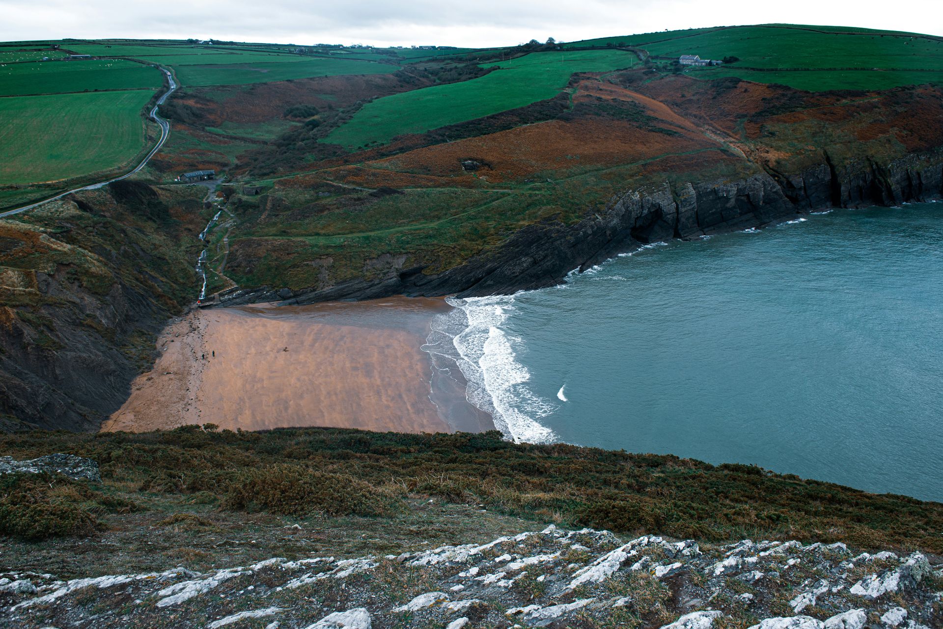
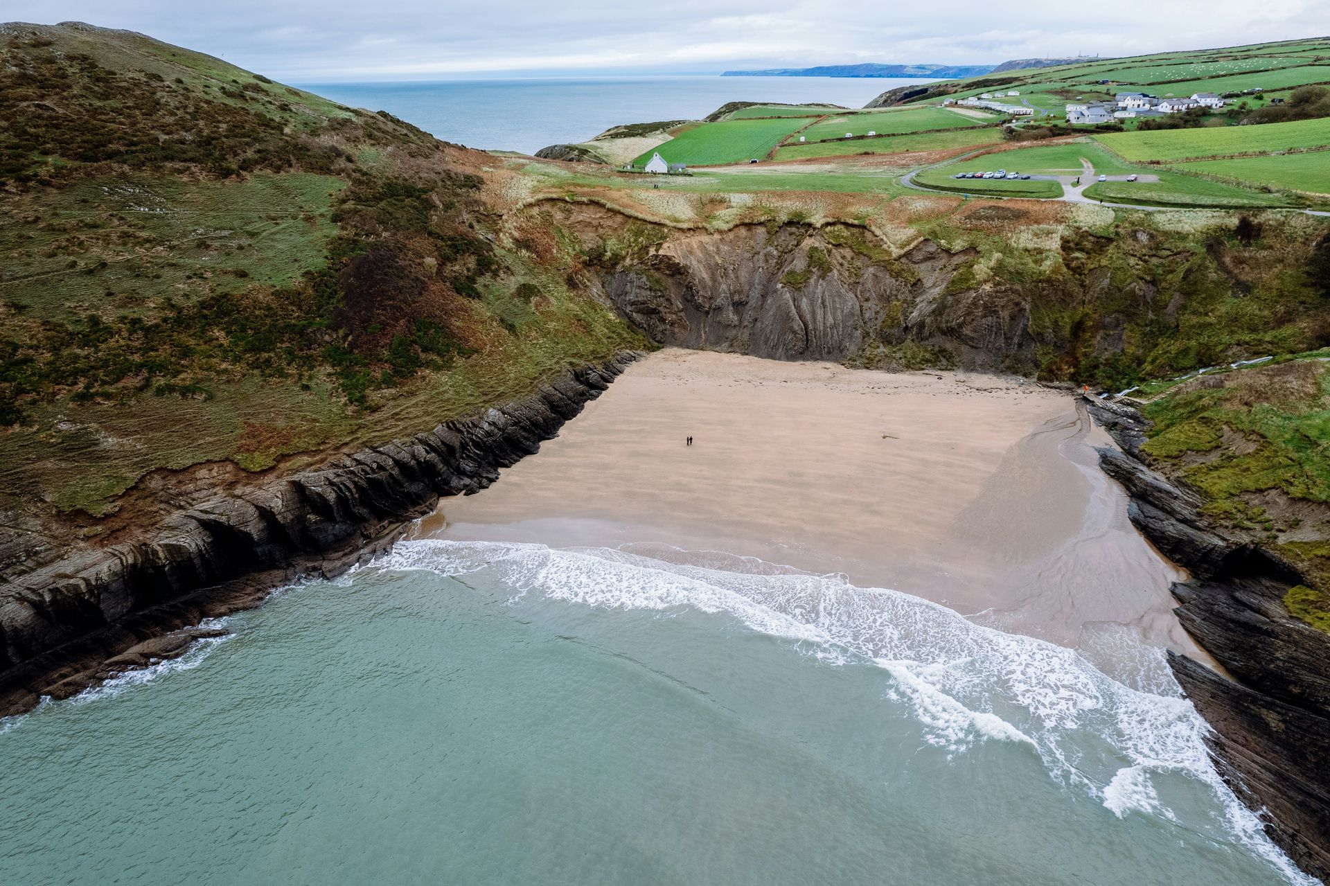
Mwnt is a sheltered cove on the Ceredigion coast where a conical hill, Foel y Mwnt, drops sharply to a sandy beach that the surrounding headlands protect from the stronger Atlantic conditions to the south and west. The beach was once genuinely undiscovered, but its word-of-mouth reputation has brought enough visitors that summer weekends now require early arrival for any sense of solitude. Early mornings and off-season visits return the cove to something close to its original character, with the grass of Foel y Mwnt’s slopes grazed by sheep and the sea below often perfectly flat.
The Cardigan Bay population of bottlenose dolphins makes Mwnt one of the better free dolphin-watching points on the Welsh coast. The dolphins frequently feed close to shore during the warmer months, and sitting on the headland at the right time produces close sightings without any tour boat or organized excursion. The Wales Coast Path connects Mwnt to the wider coastal walking network, and the walk north toward Cardigan Bay gives additional elevated viewpoints for marine wildlife watching.
From August through December, grey seals haul out on the rocks around the cove to breed, and pups are occasionally visible on the beach itself. The National Trust asks visitors to maintain a substantial distance from the seal colony, both for the seals’ welfare and because grey seals can move faster than they appear to and will defend their space. Dolphins, seals, and the specific quality of the cove’s setting together make Mwnt one of the richest wildlife beaches in Wales. The 14th-century Church of the Holy Cross at Mwnt, one of the oldest surviving medieval churches in Ceredigion, sits at the top of Foel y Mwnt and adds an historical dimension to the climb that the views alone already justify. The church’s whitewashed exterior is visible from the sea in clear conditions. Cardigan town, about eight miles north of Mwnt along the coast, has seen significant regeneration in recent years and now hosts good independent restaurants and a revived market alongside the castle that commands the Teifi estuary, making it a practical base for a multi-day stay that includes Mwnt and the surrounding Ceredigion coast.
Mick Garratt / Wikimedia Commons (CC BY-SA 2.0)
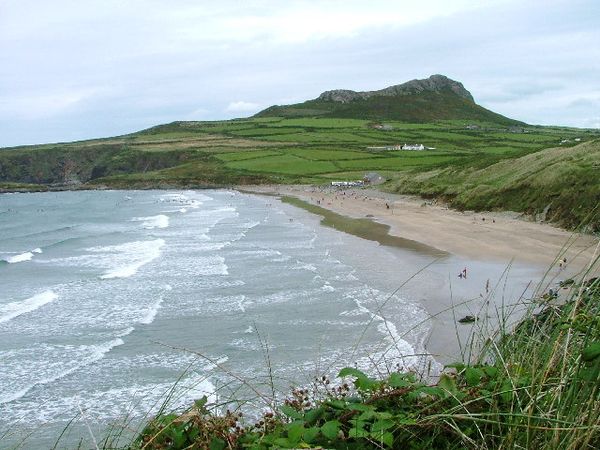
Whitesands Bay sits at the tip of the St Davids Peninsula within Pembrokeshire Coast National Park, and its practical accessibility distinguishes it from most of the beaches on this list. The slipway is accessible to strollers and wheelchairs; bathrooms are available; a café serves the beach; and the surf is consistently manageable for bodyboarding and beginner surfing, alongside recreational swimming. The beach works for the full range of family ages in a way that the more remote and facility-free beaches in Pembrokeshire don’t.
The beach faces northwest and takes the Atlantic swell directly, producing conditions that challenge confident swimmers and bodyboarders while remaining accessible enough for families with young children to enjoy the shallower water near the shore. Lifeguard cover operates during the summer season. The surrounding clifftop walks, including the path to Carn Llidi’s summit with views across the peninsula to the sea beyond, extend the day well past the beach itself for family members who want more than sand and surf.
St Davids itself, Britain’s smallest city by population, is worth the short drive or shuttle bus ride from the beach. The 12th-century Cathedral and Bishop’s Palace sit in a natural hollow below the city’s main street, visible only on approach, which gives the historic center an unusually intimate character for a UNESCO-recognized heritage site. The city’s independent restaurants, cafés, and galleries make it a genuinely rewarding stop for an evening after a beach day. The Pembrokeshire Coast National Park authority provides detailed tide tables and swimming safety information for beaches within the park, which is worth consulting before any visit that includes swimming at Whitesands or any other park beach, since conditions vary significantly with the tide cycle. The slipway and accessible facilities at Whitesands make it the most genuinely inclusive beach in Pembrokeshire for visitors with mobility limitations, a practical consideration that the more remote and accessible-only-on-foot beaches elsewhere in the park cannot address.
Taylor George / Unsplash
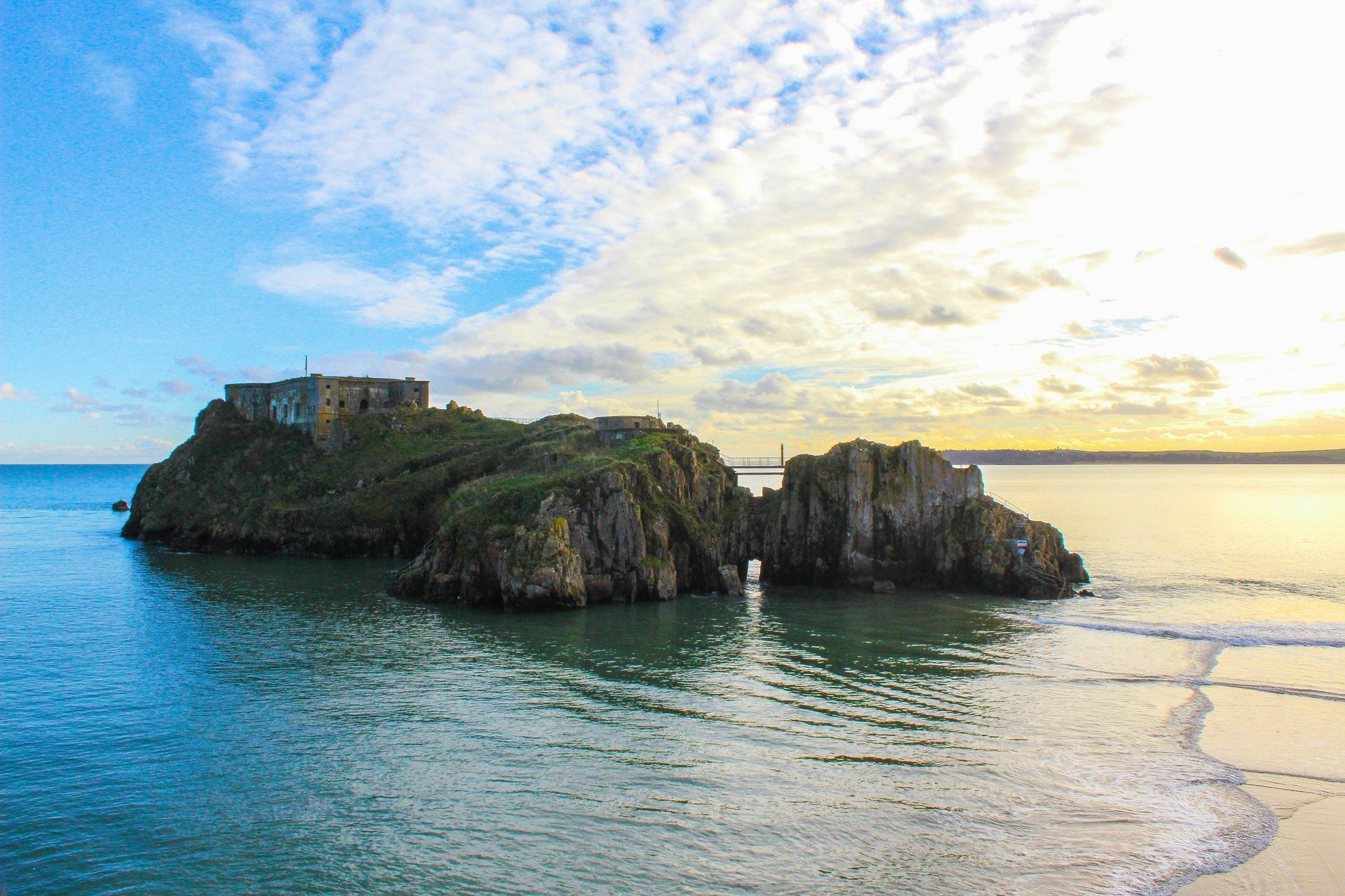
Tenby has three beaches, but Castle Beach, flanked by two hilltop ruins and a fortified headland, is the most historically interesting and the most rewarding to visit at low tide. At low tide, St Catherine’s Island becomes accessible on foot across the exposed sand, and the 19th-century fort built on it by the British government during Palmerston’s coastal fortification program can be explored. The fort was built to defend against a French invasion that never came, and the island’s small size gives the whole structure a specific abandoned-project quality.
The main harbor north of the headland dries at low tide, and boats to Caldey Island depart from the beach itself, which adds another tidal-window opportunity to an already timing-dependent visit. Caldey Island, home to a Cistercian monastery whose monks produce chocolate, perfume, and cream liqueur, is worth the short crossing for both the monastic atmosphere and the separate beach accessible from the island’s southern side.
The town of Tenby, with its medieval walls still largely intact, pastel-colored Georgian townhouses, and genuinely good restaurant scene, has become one of the most visited towns in Wales and fills significantly in summer. Arriving in May or September captures the amenities and atmosphere without the August crowds that make the narrow streets difficult to navigate. The three beaches spread the visitor numbers enough that even in summer, it’s possible to find a relatively quiet patch. Caldey Island’s short crossing takes about 20 minutes on the boat and lands at the island’s small village, where the monastery shop sells the monks’ products and a tearoom serves visitors before the return boat. The island’s bird life, particularly the nesting population of gulls and cormorants on the western cliffs, is visible without any walking beyond the main path. The Tenby Arts Festival in late September draws a significant independent arts and music program to the town each year, and timing a visit around the festival gives the post-summer visit to Castle Beach and the town the cultural program that makes the trip more complete.
Chris Morriss / Flickr (CC BY 2.0)
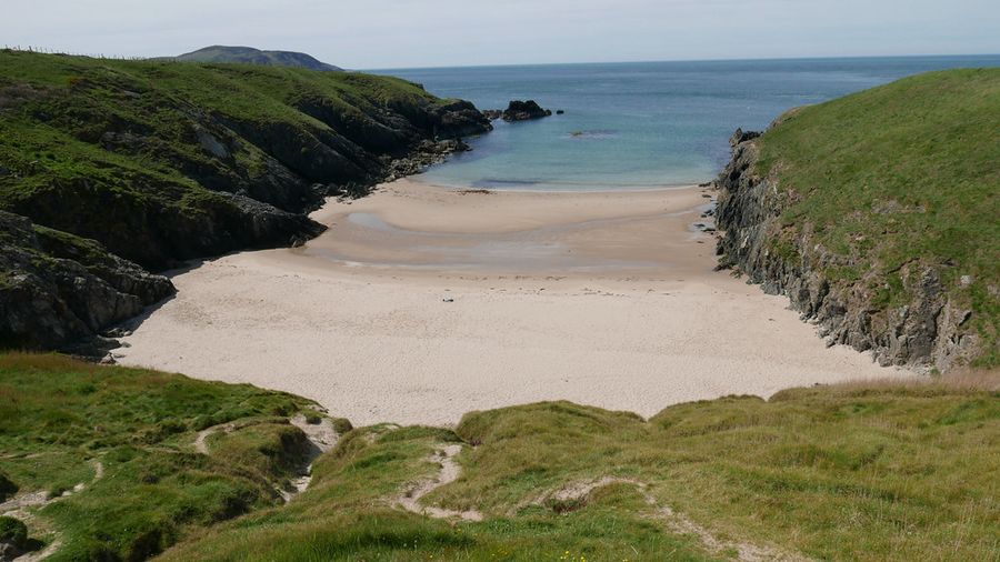
Porth Iago is a small inlet on the northern shore of the Lleyn Peninsula where a narrow beach, sheltered by surrounding grassy headlands, provides calm and clear water alongside a working farm campsite that charges for both parking and pitching. The facilities are basic but functional: the farmers have added toilets and running water, making a night or two genuinely comfortable without turning the experience into a managed campground. The wildness that makes Porth Iago worth visiting survives intact amid the amenity additions.
The Lleyn Peninsula as a whole is one of Wales’s least-touristed coastal areas, with an Area of Outstanding Natural Beauty designation protecting much of its landscape and a strong Welsh-speaking culture that gives the peninsula a distinct character from the anglicized south. The driving distances from most of England make it less accessible than the Gower or Pembrokeshire, which contributes to lower visitor numbers and the preservation of its beaches.
Porth Oer, also known as Whistling Sands for the noise the sand makes when walked on dry, is about an hour’s walk south along the Wales Coast Path from Porth Iago. The sound is produced by the specific grain size and spherical shape of the sand, and it genuinely works, which makes it one of the more unusual natural phenomena on the Welsh coast. The walk between the two beaches covers classic Lleyn headland scenery and is among the better half-day coastal walks in Wales. The Lleyn Peninsula’s Area of Outstanding Natural Beauty designation has limited tourist infrastructure development across the whole peninsula, which means the network of beaches accessible from the coast path maintains a uniformly high quality without the variation in standards that more developed coastlines produce. The Lleyn’s Welsh-speaking character means that most signage and some services operate primarily in Welsh, which is worth knowing in advance and which reflects a cultural distinctiveness that makes the peninsula feel specifically different from the more touristically developed coastlines of south and southwest Wales.
interbeat / Wikimedia Commons (CC BY 2.0)
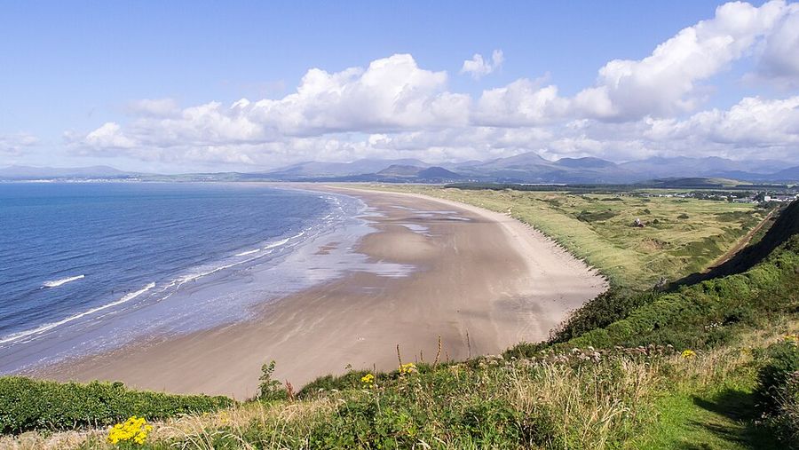
Harlech’s 4-mile beach is one of the longest and most consistently empty stretches of sand in Wales, backed by shape-shifting dunes that support an ecology rich enough to warrant natural reserve designation. The beach faces west into Cardigan Bay and the Atlantic beyond, with the Snowdonia mountain range providing a backdrop to the east that produces a specific quality of light on clear evenings when the peaks are still illuminated, and the beach below is already in shadow.
Harlech Castle, a UNESCO World Heritage Site a quarter-mile from the beach, was built by Edward I in 1289 as part of his campaign to subjugate Wales, and its position on a rocky outcrop above the coastal plain is imposing enough to make the castle’s perspective on the beach below feel genuinely strategic. The castle’s concentric wall design and the sea gate that once allowed supply ships to dock directly below its walls, now silted over and far from the current waterline, convey how dramatically the coastline has shifted since the medieval period.
The town of Harlech itself is small and quiet, with a handful of restaurants and guesthouses oriented toward visitors to the castle and the beach. The dune system behind the beach hosts Harlech’s golf course, one of a series of classic links courses on this stretch of the Cardigan Bay coastline that attract serious golfers alongside the beach visitors. Empty beach, castle backdrop, mountain range, and total absence of resort infrastructure together make Harlech the most complete landscape experience on this list. The beach is accessible from several points, with the most convenient parking near the Royal St David’s Golf Course at the northern end of the dune system, from where a short walk through the dunes reaches the open beach. The dune system itself is a Site of Special Scientific Interest and supports populations of rare plants, including several native orchid species. Portmeirion, the Italianate village built by architect Clough Williams-Ellis from 1925 onward and the filming location for the original The Prisoner television series, is about 10 miles north of Harlech and is worth the detour for visitors interested in architectural eccentricity alongside the coastal and castle experience.
Catrin Ellis / Unsplash
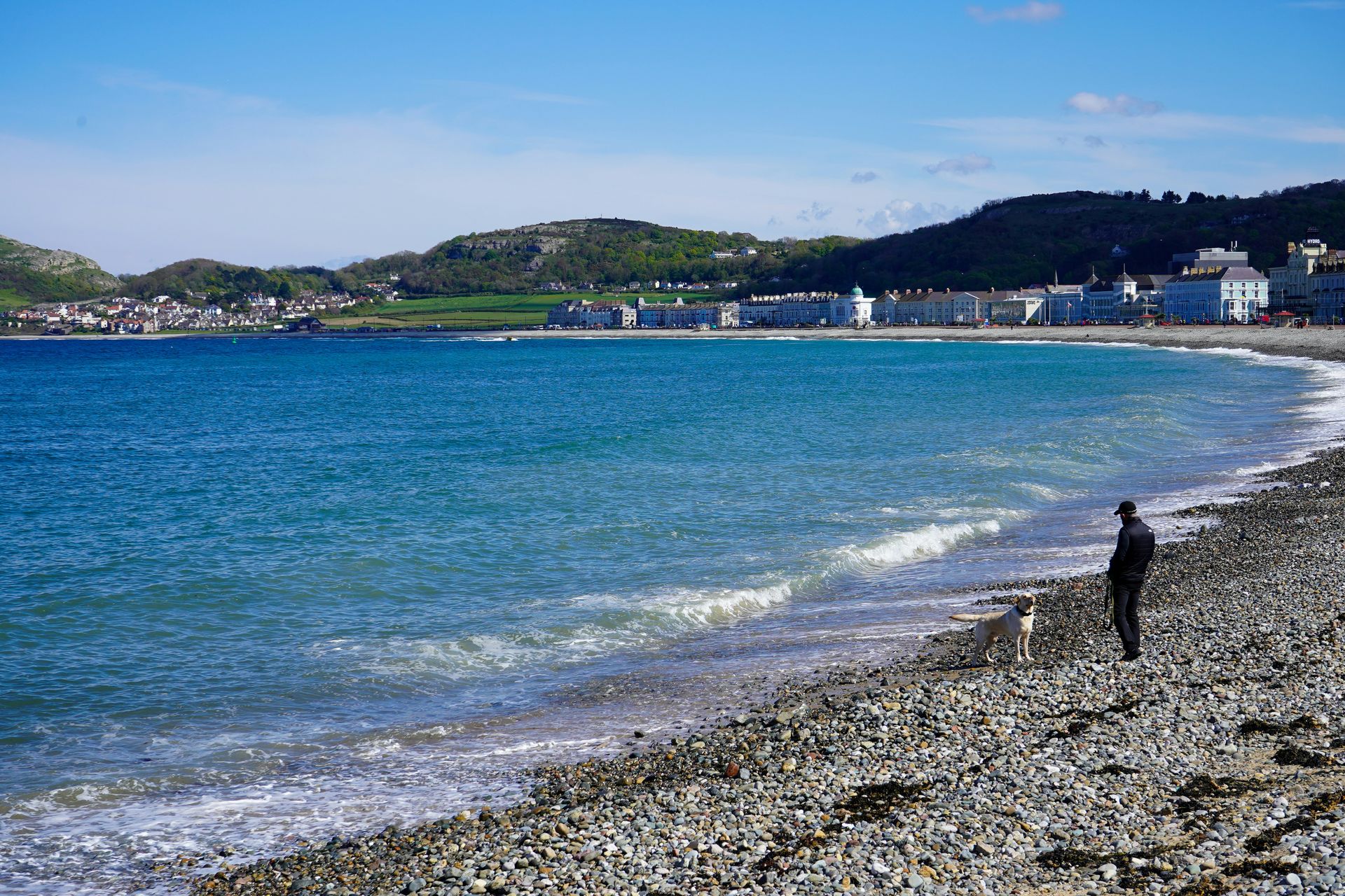
Llandudno is the quintessential Victorian seaside resort, built at a specific moment in British history when the railway first made mass coastal recreation possible, and the leisure industry responded with piers, promenades, and an architecture of enjoyment that is now genuinely historic. The pier, originally opened in 1877 and extended to 701 meters, hosts traditional Punch and Judy performances, amusement arcades, and the kind of seaside entertainment that has largely disappeared from other parts of the British coastline. Fish and chips eaten on the promenade remain the correct lunch option.
The beach itself, known as North Shore, faces northeast across the bay and benefits from the protection of the Great Orme headland to its west. The headland, a massive limestone promontory, is accessible by historic tramway or cable car from the promenade and provides 360-degree views across Liverpool Bay, the Snowdonia range, and the Anglesey coastline. Bronze Age copper mines on the headland, among the most extensive prehistoric mining operations discovered in Europe, add an archaeological dimension to what is otherwise primarily a scenic walking destination.
West Shore Beach, on the other side of the Great Orme, is consistently quieter than North Shore and offers views of Conwy Mountain and the Snowdonia range in a setting that feels more like a remote bay than the back side of a busy resort. The two beaches together cover a full day at Llandudno without repetition, and the town’s Victorian architecture, independent shops, and serious restaurant scene make it a more rewarding destination than its classic British seaside reputation sometimes suggests. The Great Orme Country Park covers the entire headland and its Bronze Age copper mines, with walking trails of all difficulty levels and interpretation centers that explore both the prehistoric mining operations and the headland’s unusual geology. The wild Kashmir goats that inhabit the headland, descended from a herd given to Queen Victoria in 1837, roam freely across the clifftops and are a specific wildlife encounter worth seeking out.
