Hurricane tracker: Scientists have run out of adjectives to describe Maria’s devastating power
Hurricane scientists say they can’t find the words to describe Maria’s awesome intensity.


Hurricane scientists say they can’t find the words to describe Maria’s awesome intensity.
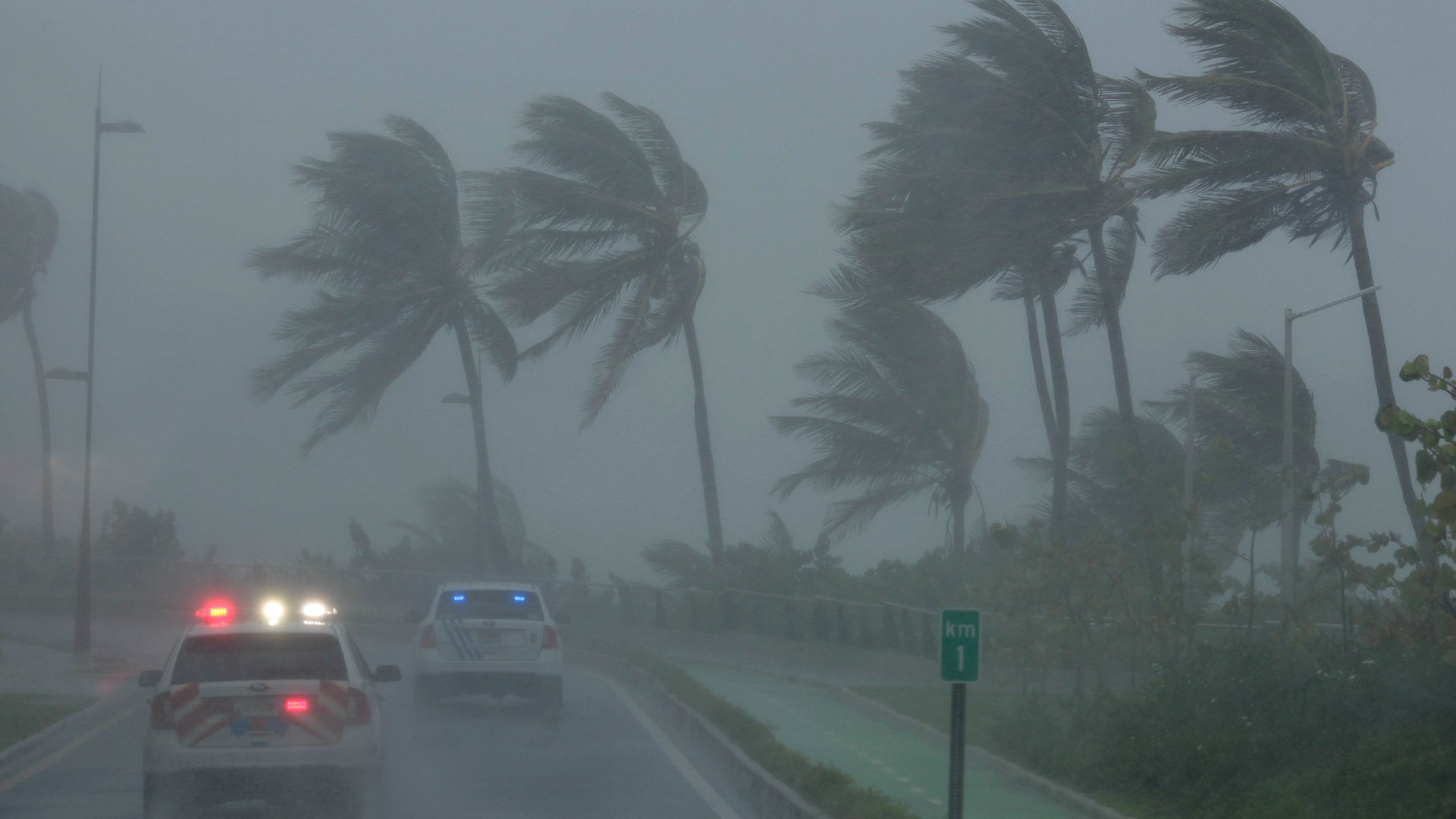
Maria has made landfall on Puerto Rico—the strongest storm hit the island in more than 80 years and the second major hurricane to tear through the Caribbean this month. The category-4 storm made hit the island this morning (Sept. 20) in the southeast near the city of Yabucoa, with sustained maximum winds of 155 mph (just 2 mph shy of category 5). The latest update from the National Hurricane Center (NHC) put the eye directly on top of the US territory, about 25 miles west of San Juan.
The storm, which exploded in intensity and 160-mph winds Monday night, could break records as the strongest to hit Puerto Rico in recorded history, depending on post-storm reports from official weather stations. Gusts from Maria were so strong, they broke two National Weather Service radars on the island.
A hurricane warning is in effect for Puerto Rico, Culebra, Vieques, the Virgin Islands, the Dominican Republic from Cabo Engano to Puerto Plata, Turks and Caicos, and the southeastern Bahamas.
Maria’s eye will likely continue to move offshore of the northern coast of Puerto Rico, pass the northeastern coast of the Dominican Republic tonight and Thursday, then move near the Turks and Caicos Islands and southeastern Bahamas Thursday night and Friday. With sustained maximum winds of 140 mph, Maria is expected to remain a “dangerous major hurricane” through Friday.
The 3.3 million residents of Puerto Rico had slightly more time to prepare for Maria than those in Dominica, which was devastated by the hurricane Monday night. Maria has already killed at least nine people in Dominica and neighboring Guadeloupe.
Puerto Rico is already providing aid to thousands of evacuees who came to the island for shelter after the category 5 Irma ripped through the Caribbean earlier this month. About a million people lost power on Puerto Rico, but the island was spared the worst of the storm. The Puerto Rico Convention Center in San Juan, still housing evacuees from other Caribbean islands, said it was prepared to accept thousands more.
Puerto Rico became a refuge for people affected impacted by Irma because it’s relatively high in resources and infrastructure compared with other smaller island nations in the Caribbean. The Federal Emergency Management Agency has workers in US territories in the Caribbean in an effort to provide enough supplies for residents to make it through the storm. The governor of Puerto Rico, Ricardo Rosselló, tweeted that as of early this morning, there were 10,059 refugees and 189 pets in shelters.
“This is going to be an extremely violent phenomenon,” he said. “We have not experienced an event of this magnitude in our modern history.”
Only one category-5 hurricane in recorded history has hit Puerto Rico, in 1928. The last time Puerto Rico was hit by a category 4, was in 1932.
Tropical Storm Jose
Jose has been downgraded to a “strong tropical storm” located off the coast of Delaware, with sustained winds of 70 mph.
New England has been experiencing strong surf and heavy winds for the last day or so. A tropical storm warning is in effect for parts of coastal Massachusetts: Woods Hole to Sagamore Beach, including Cape Cod, Block Island, Martha’s Vineyard, and Nantucket.
The center of Jose is forecast to pass well east of the New Jersey coast today, and off southeastern Massachusetts on Thursday.
Jose could possibly help keep Maria away from the US coast by drawing it to the northeast. If Jose dissipates too quickly, however, Maria could move closer to the mainland by the middle of next week.
Track Hurricane Maria and Tropical Storm Jose
You can track the progress of the storms brewing around North America with this helpful tool from WNYC, by selecting the storm name in the top left.
[protected-iframe id=”6178648d59768fd492801f869baa95bc-39587363-95155909″ info=”https://project.wnyc.org/hurricane-tracker/index.html?year=2017&storm=jose” width=”100%” height=”760″ frameborder=”0″ scrolling=”no”]