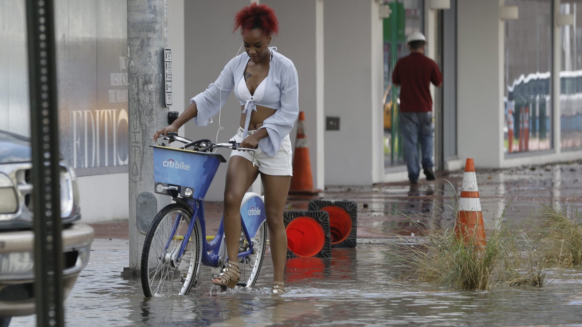
Miami, New York City, and San Francisco could flood every day by 2100
Flooding from ever-higher high tides may become a weekly reality for parts of the coastal US by the middle of this century, and a daily occurrence for major coastline cities by 2100, according to a report published this week by the US National Oceanic and Atmospheric Administration.


Flooding from ever-higher high tides may become a weekly reality for parts of the coastal US by the middle of this century, and a daily occurrence for major coastline cities by 2100, according to a report published this week by the US National Oceanic and Atmospheric Administration.
And that’s under a relatively conservative sea-level rise scenario. The report looked only at heightening high tides, and didn’t take into account less predictable, more abrupt events, like a potential ice sheet collapse at one of the poles.
‘High tide’ flooding: When high tides get too damn high
Right now, coastal communities are mostly designed to withstand the periodic rise in sea levels that come from the daily tides in their regions, with high tide being the highest “normal” level the sea reaches, and low tide the lowest. As sea-level rise drives up the height of those high tides, communities experience flooding.
Unless, of course, they make major adjustments to infrastructure. Miami, which now regularly floods during high tides, has already sunk more than $100 million into raising a few roads and installing pumps. And all signs point to that being not nearly enough—including this NOAA report, which says Miami could experience floods with every high tide by the end of the century. That means the most vulnerable parts of the city could flood daily.
Parts of New York City and San Francisco are also projected to flood every day by 2100 under an “intermediate” sea-level rise scenario—3 feet (1 meter) of sea-level rise and, among the three cities, “the annual number of high tide flood days is projected to increase fastest at New York City.”
Three feet of rise by 2100 is considered roughly the consensus estimate under conditions where humanity fails to rapidly draw down greenhouse gas emissions. However, that estimate—backed by the the UN’s climate change body—does not incorporate the possibility that large parts of the Antarctic ice sheet could become disintegrate into the sea. Other reports that include ice-sheet collapse have put the figure much higher.
Still, even under a very optimistic sea-level rise future—what the report calls its “intermediate low” scenario of 1.5 feet (0.5 meters) by 2100—NOAA says high-tide flooding will occur at least every other day (182 days or more per year) “within the Northeast and Southeast Atlantic, the Eastern and Western Gulf, and the Pacific Islands.”
Sea-level rise is already making flooding more frequent in 61 places
The NOAA report also looked backwards, at flood data for tide gauges in 99 locations across US coasts (excluding Alaska). Over the past few decades, one-third of those locations showed the number of high-tide floods accelerating. Another third of the gauges showed high-tide flooding increasing steadily, by a similar rate each year.
That means in two-thirds of coastal communities in the US, sea-level rise is already making flooding more frequent.
Most of the locations where floods are increasing fastest were clustered along the Southeast and Northeast Atlantic coasts, but coastal areas in the Gulf of Mexico and the Northwest and Southwest Pacific coasts were on the list, too.
Today’s storm will be tomorrow’s high tide
“The numbers are staggering,” William Sweet, a NOAA oceanographer, told NPR prior to the report’s release. “Today’s storm will be tomorrow’s high tide.”
He told NPR that storm surges like the ones which made headlines for flooding the East Coast of the US earlier this month would simply become part of the natural daily tide cycle.
“That will be a high tide at some point in the future, whether that’s two or three decades or eight decades,” he said. “We’ll see, but it’s coming.”