Hurricane Florence has hit the southeastern coast of the US, and is expected to have a severe impact on several states. More than 1 million people have been asked to evacuate their homes, and leave the vulnerable areas. Facebook $META, as the massive public square that it is, can be useful to those affected by the chaos if used wisely.
Here’s how:
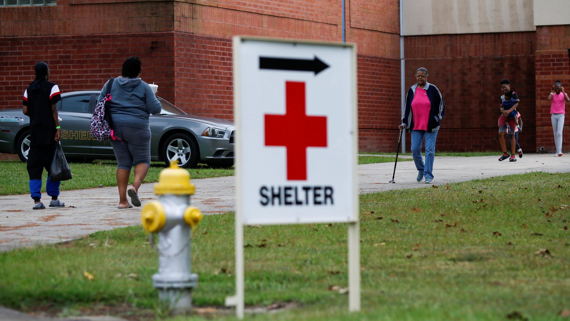
Local government agencies use Facebook as a crucial way of getting in touch with the their residents. In emergency situations, it’s an efficient and effective way of communication, since most US adults are on Facebook, and spend a lot of time on the platform. For those in affected areas: With Facebook’s algorithm change earlier this year, you might not see all the updates in your feed, so be sure to directly check the pages of your local police, fire department and emergency response agencies. You should be able to find the latest announcements relevant to evacuation efforts, like the location of emergency shelters.
Update: Facebook tells Quartz the company has recently added a feature that lets local government pages flag their posts as alerts, which means that their followers get a notification with every such update.
In some locations, Facebook will have launched its “Today In” section, which includes updates from local agencies, as well as local news sources and community groups. The company tells Quartz that out of the areas that are likely to be affected by the weather, the feature is currently available in Greensboro and Fayetteville in North Carolina, and Anderson, Greenville, Columbia, and Myrtle Beach, South Carolina. Other areas where the feature is active are listed here.
Interest-based Facebook groups are increasingly the platform’s most useful feature. In the run-up to Florence, people have been offering housing to evacuees in a dedicated group, or help with stranded shelter animals. There are also multiple check-in groups, and local groups where people share tips, updates, and resources (note: these groups are usually not officially sanctioned).
Once the hurricane hit, Facebook activated its “Safety Check” feature, which lets you tell your friends you’re okay. The feature has faced criticism in the past for creating an illusion that localized crises were more widespread than they were in reality, creating a sense of panic. But during a massive event like Florence, it can be a worthwhile tool. Once it’s activated, Facebook creates a “Crisis Response” page, which is now available for Hurricane Florence. There, people can offer and ask for help, including information about their area, indicating where they are on a map. Already, Facebook users are asking for help, as well as offering shelter and supplies for evacuees.
The features can, however, be exploited. As of Friday morning, one poster in the Florence hub, but who is not in the affected area, claimed to have a chronic disease and was asking for financial support. Another user was asking for a “Chick-fil-A Deluxe combo meal” in what appeared to be a joke. A spokesperson for Facebook said users can report such posts, and a team at Facebook also reviews them proactively. If they’re found to be unrelated to the crisis in question, they are de-linked, or removed from the crisis page. The hub also surfaces fundraisers, both for non-profits vetted by Facebook, and from individual users for personal causes. In the latter case, it appears that it’s up to the user to discern whether a fundraiser is legitimate, but the spokesperson said the company reviews every personal fundraiser to identify fraudulent activity.
The company also tells Quartz a feature called “Disaster Maps” is helping relief organizations Direct Relief, Humanity Road, and the American Red Cross to monitor evacuations. The data, which is gleaned from tracking Facebook users’ whereabouts, helps non-profits decide where their help is most needed. A map prepared by Direct Relief, available here, shows where people are moving from (red) to where they are likely moving to (blue). FastCompany reported in April that Disaster Maps have been used in more than 100 crisis in the preceding year, and have helped emergency responders organize more effectively.
This post was updated with information on Facebook’s new alert feature.